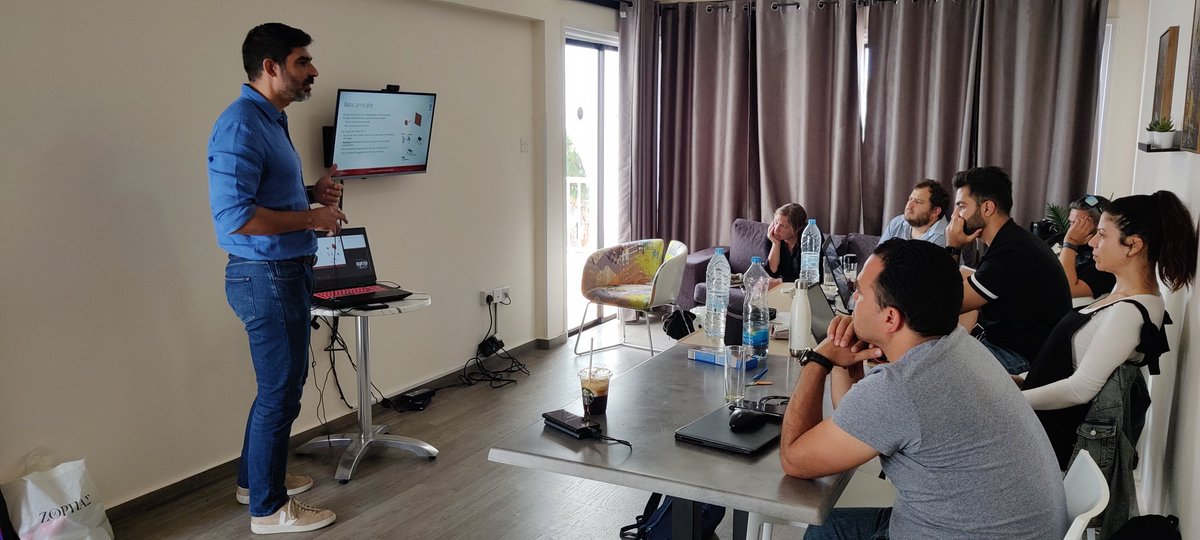
Thanks a lot SPECTRUM for giving me the opportunity to share my experiences in #underwater CH #3dmodeling. It is always a joy to inspire young professional on the field https://t.co/NgSw7bHFWd @CyUniTech @ISPRS_SC @UNESCO_DCH_ERA
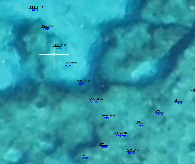
For those interested in underwater benchmark datasets, please visit the webpage of our new project Nautilus https://t.co/LCSZcv3BuP funded by #ISPRS Scientific Initiatives 2023 program
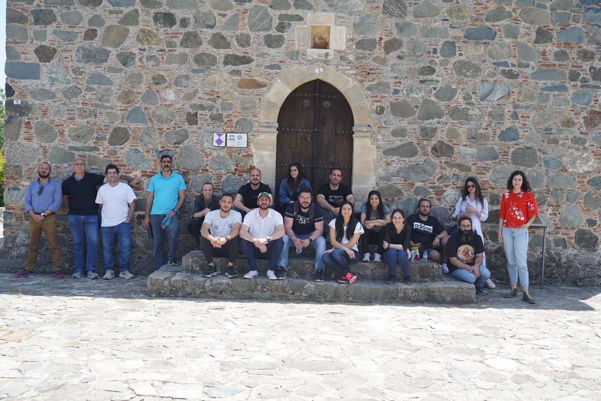
ENGINEER members have visited the UNESCO World Heritage site of Timios Stavros Byzantine Church in Pelendri village, Limassol, to support the documentation of the monument through a series of advanced surveying instruments.
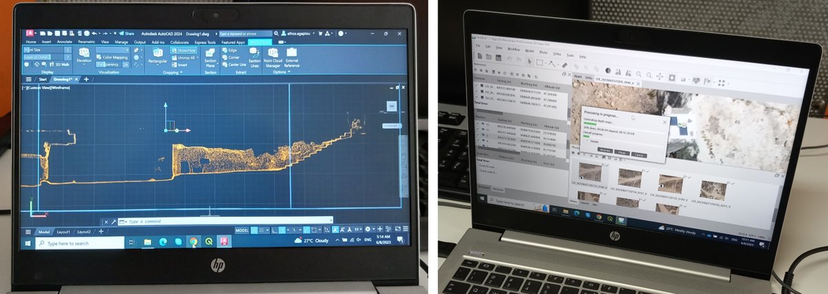
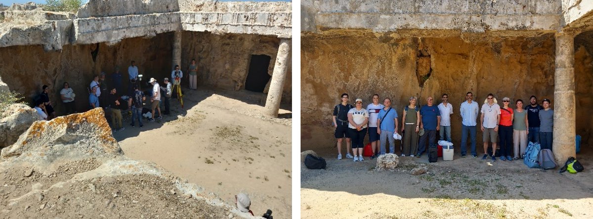
CUT members had the opportunity to work on the data collected the day before at the Tombs of the Kings. Laser scanner registration and cleaning the noise, orthophoto production of the low altitude cameras, GNSS Rinex correction, cross-sections in a CAD environment, and many more!
📣 We are organizining an #ISPRS#Underwater#Mapping Workshop -#Geospatial techniques for underwater documentation, mapping and #monitoring- in the context of ISPRS Geospatial Week 2023! Follow the link for more!
🔗https://t.co/h3AUjKJNzp
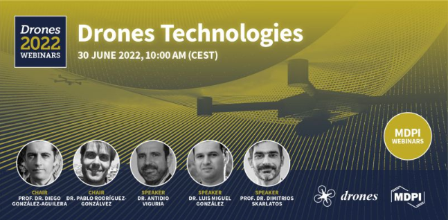
🎉Glad to present our 1st #Drones#webinar which will explore the state-of-the-art and #applications of drones #technologies!
👥Chairs: Prof. González-Aguilera & Dr. Rodríguez-Gonzálvez
🗓️Save the date: 30 June 2022 - 10:00am CEST
👉 Register for free at https://t.co/qdEpiNnd1S
Thank you very much for the invitation. Looking forward to contribute with my presentation in this
@Drones_MDPI webinar @CyUniTech@phvislab
https://t.co/vx7tBP7JPJ
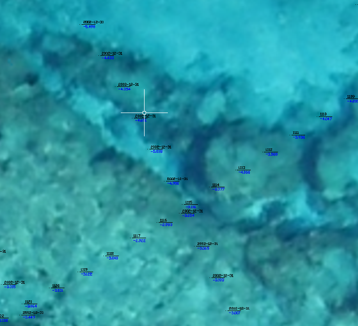
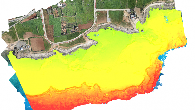
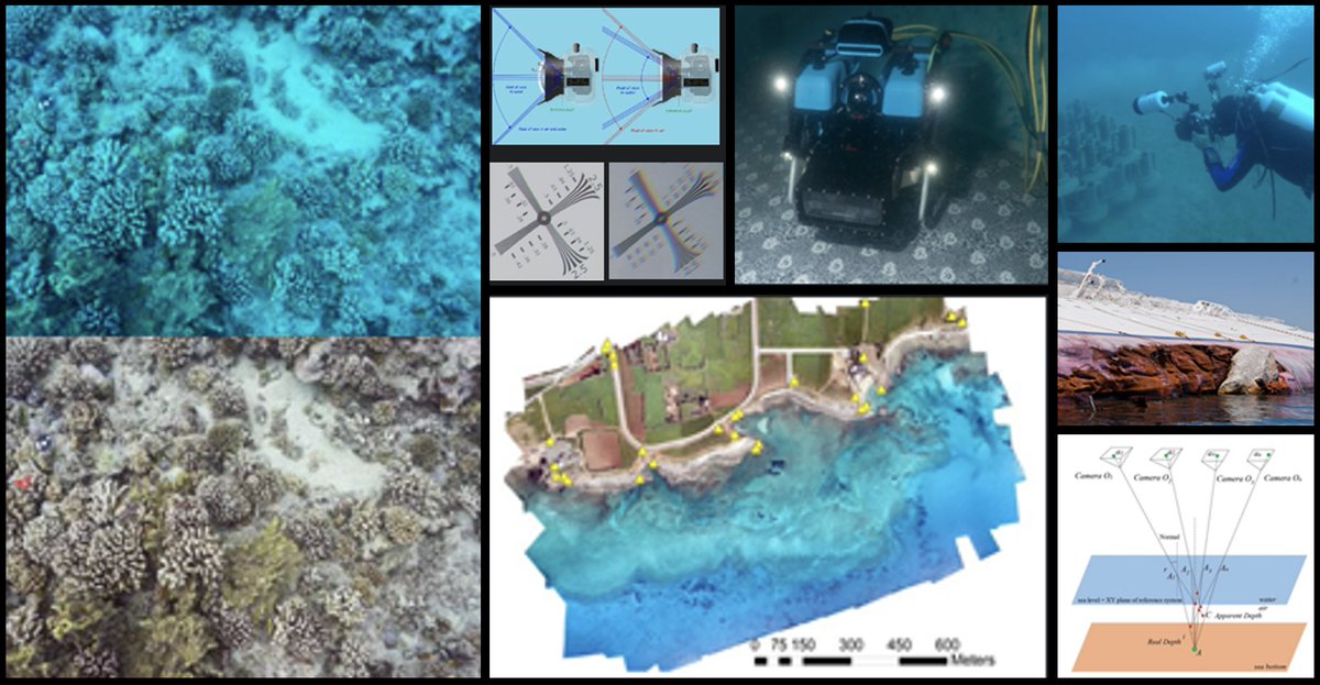
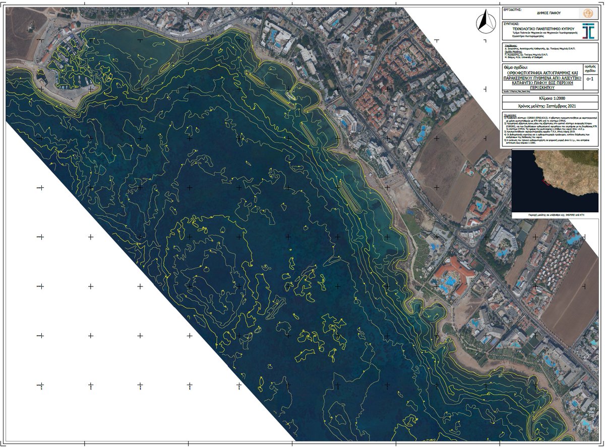
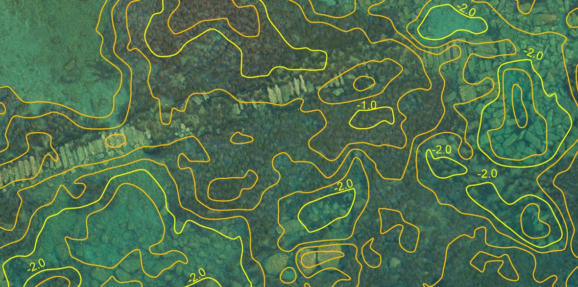
Bathymetry from UAV Imagery | A framework for mapping the seabed in shallow waters for small- and large-scale surveys using aerial imagery and machine learning to correct the geometric effects of refraction on the 3D point clouds and the imagery. https://t.co/okuQWVBMJ1
Very happy and proud co-editing this SI with my PhD supervisor. We are now open for submissions!
The Use of UAV platforms for Cultural Heritage Monitoring and Surveying https://t.co/GvXuZvYqFw #mdpiremotesensing via @RemoteSens_MDPI
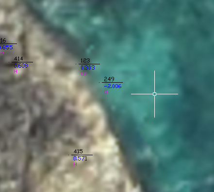
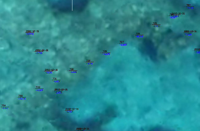
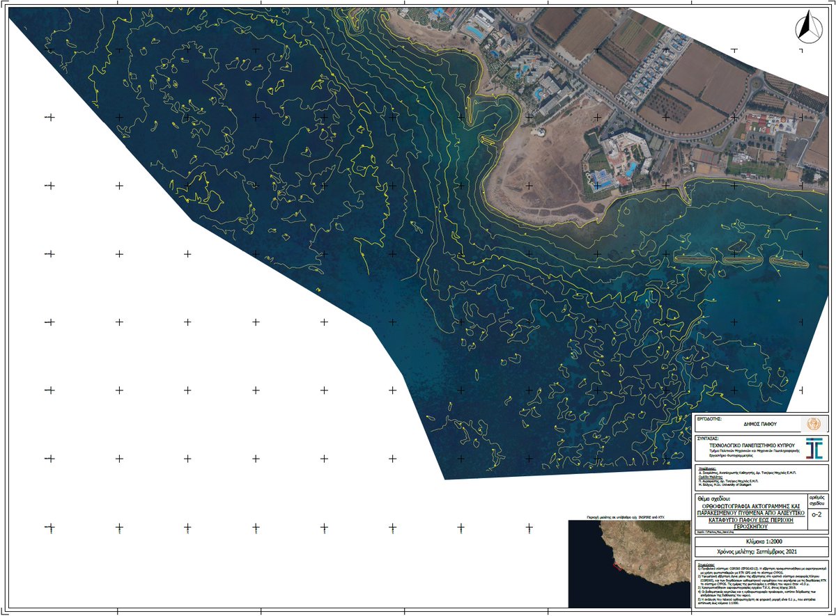
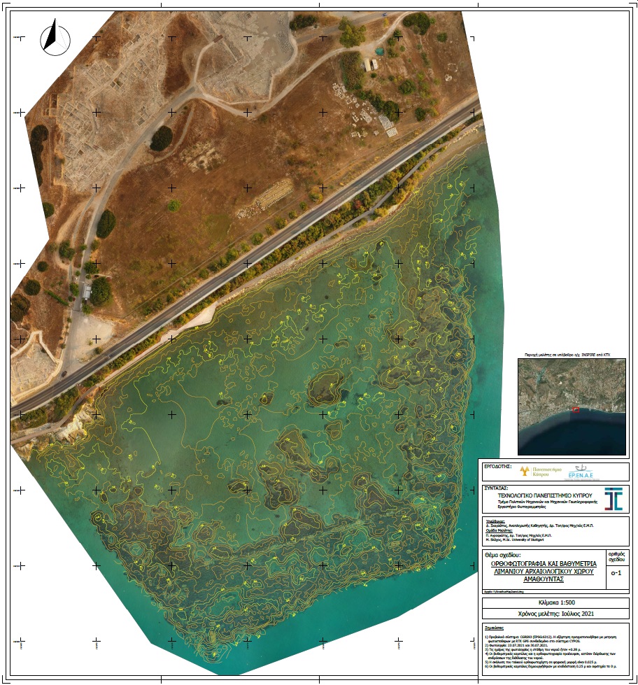
Our most recent project for #coastal#trueopticalbathymetry covered 4km of coastline, using archive (2019) Microsoft (VEXCEL) aerial photos with 0.10m GSD