@kring_pajak Baik kak, terima kasih. Tapi kenapa bisa ya tiba-tiba email di akun djp online saya berubah? Saya sudah 2x lapor pajak dengan akun tsb. Pas mau lapor pajak tahun ini, gak bisa log in..
Halo kak, saya tidak bisa masuk akun djp online. sudah klik ubah password, dan link reset password di notif tertulis dikirim ke alamat email yang entah itu punya siapa. Bukan email saya. Bagaimana solusinya? @kring_pajak
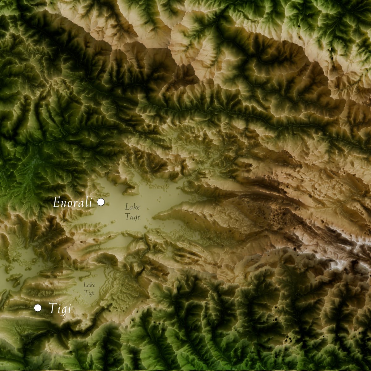
Here are #ShadedRelief maps of Central #Kalimantan, Indonesia's largest province. The region features lowlands, swamps, and mountains, with The Muller-Schwaner range marks the northern border and serving as a #watershed for major rivers #QGIS#Blender3D#topography#3Dmap
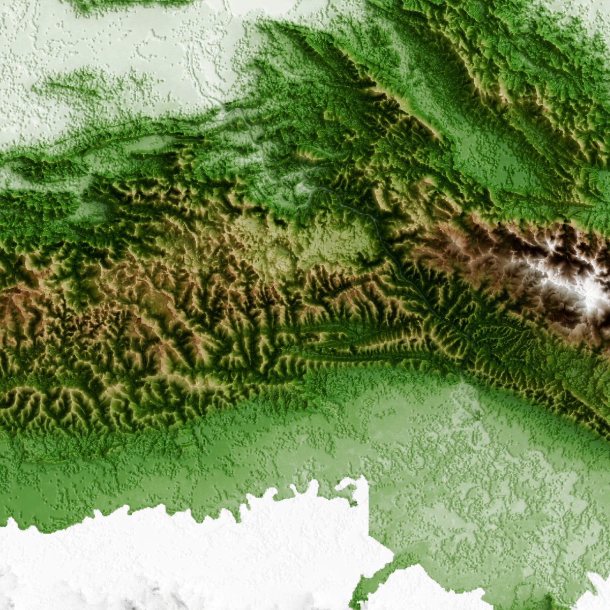
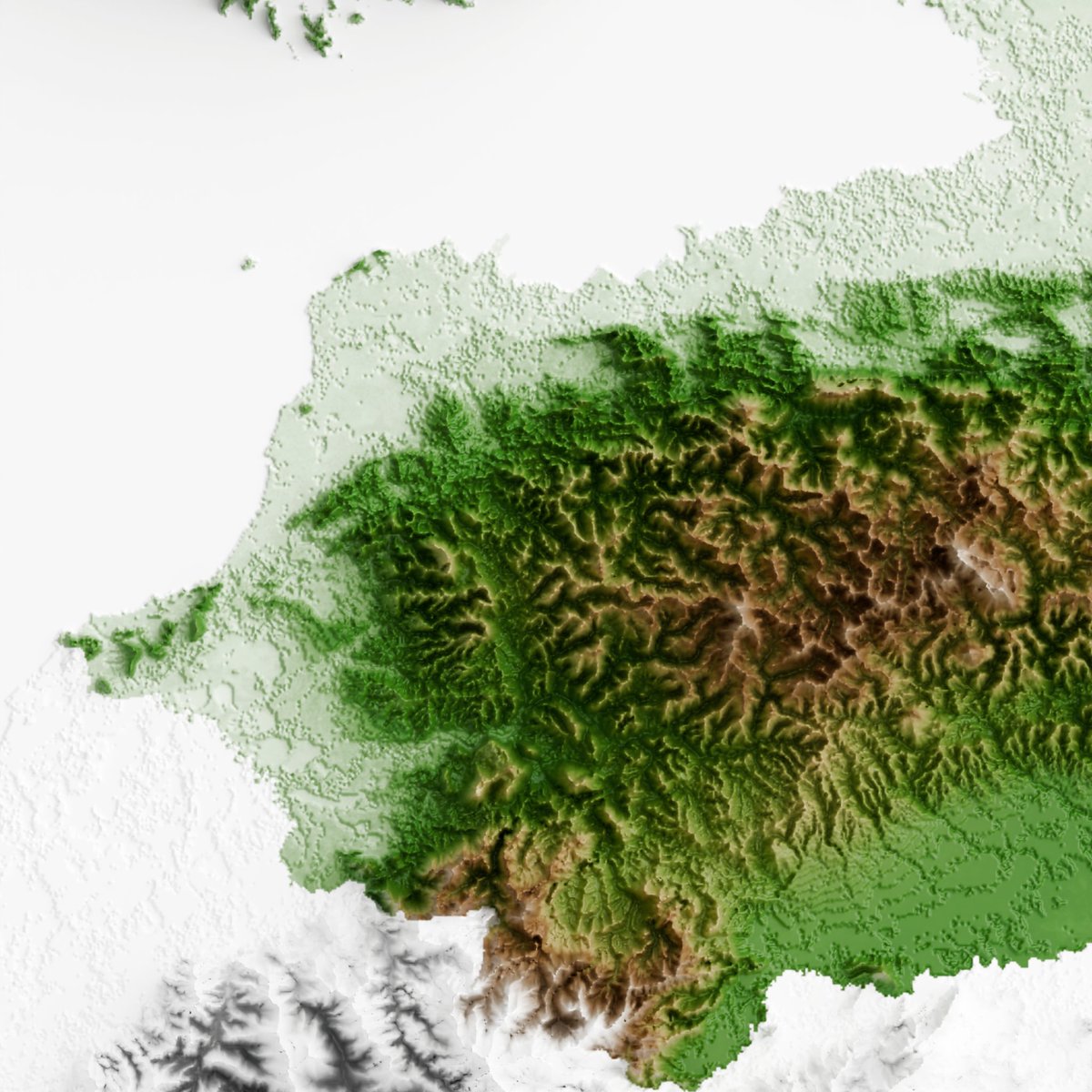
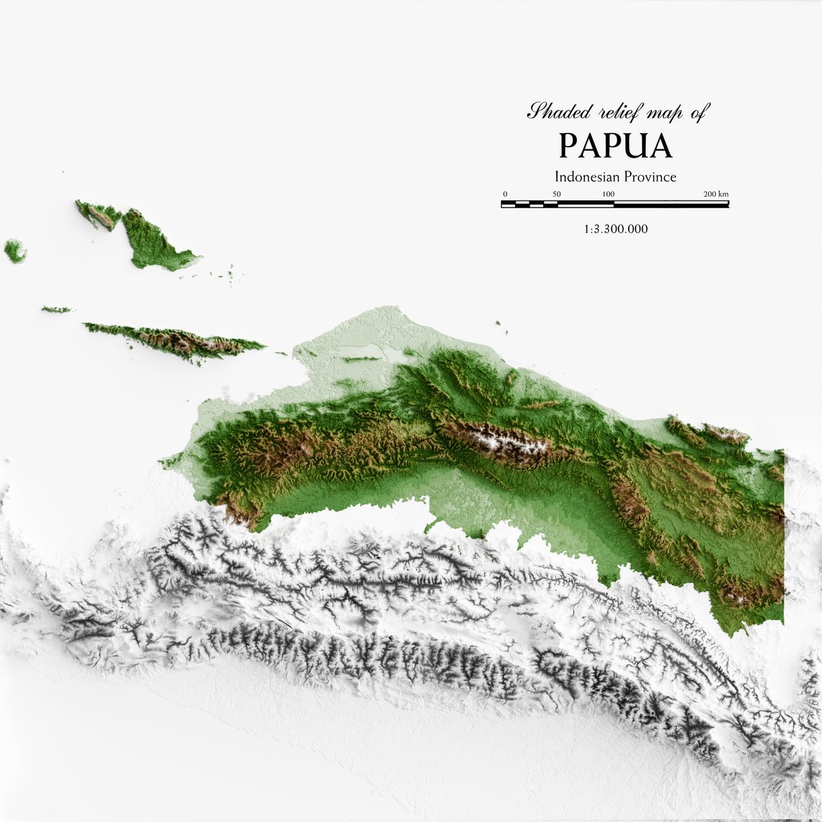
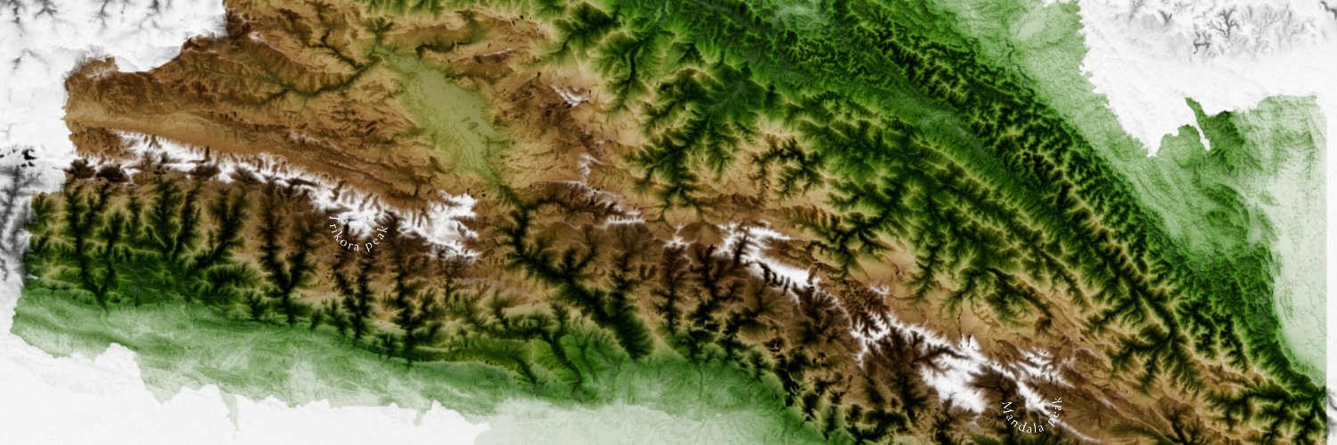
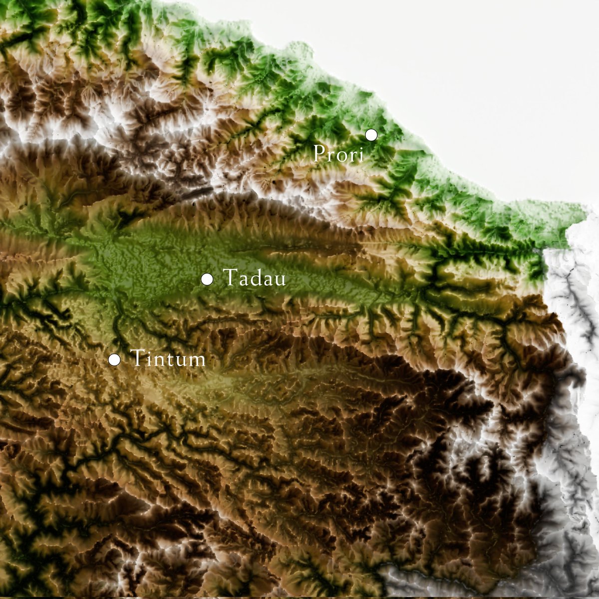
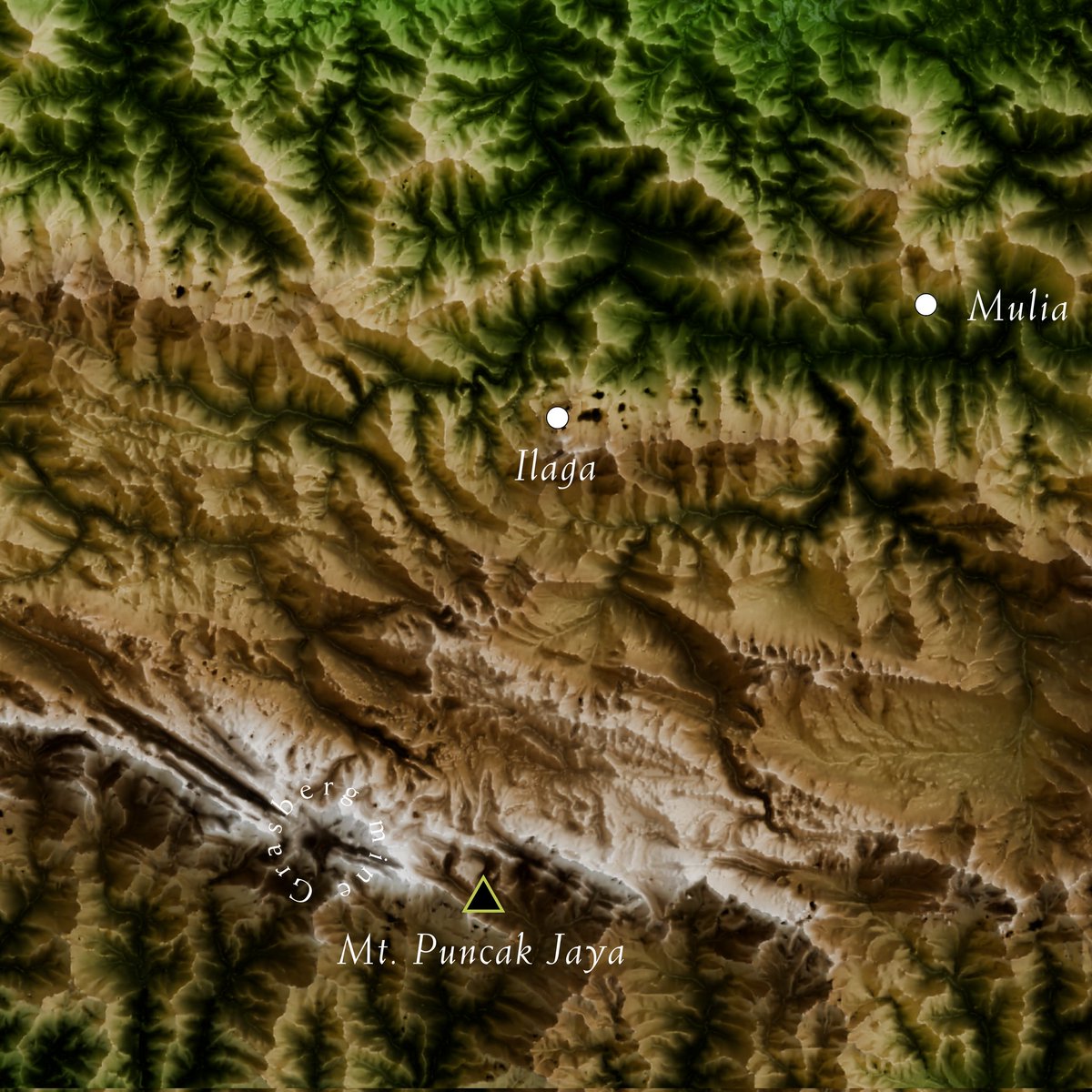
Here are #ShadedRelief maps of Highland #Papua, new province formed in 2022. It’s Indonesia’s only landlocked region and primarily made up of the New Guinea Highlands, also known as Central Range. The area is home to the mountain peaks #Trikora & #Mandala. #3Dmap#Blender#QGIS
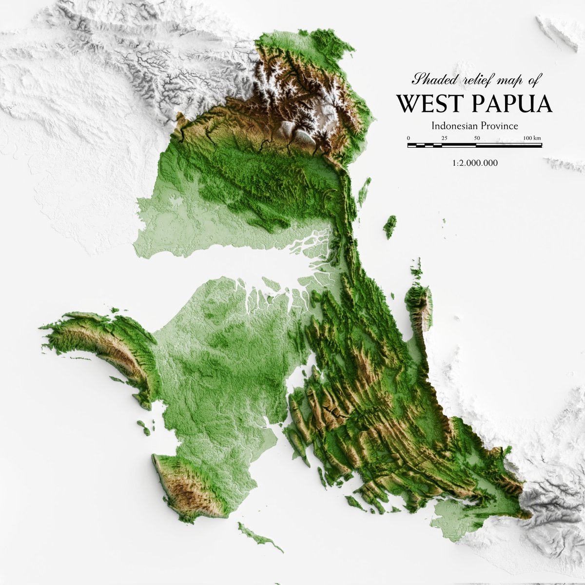
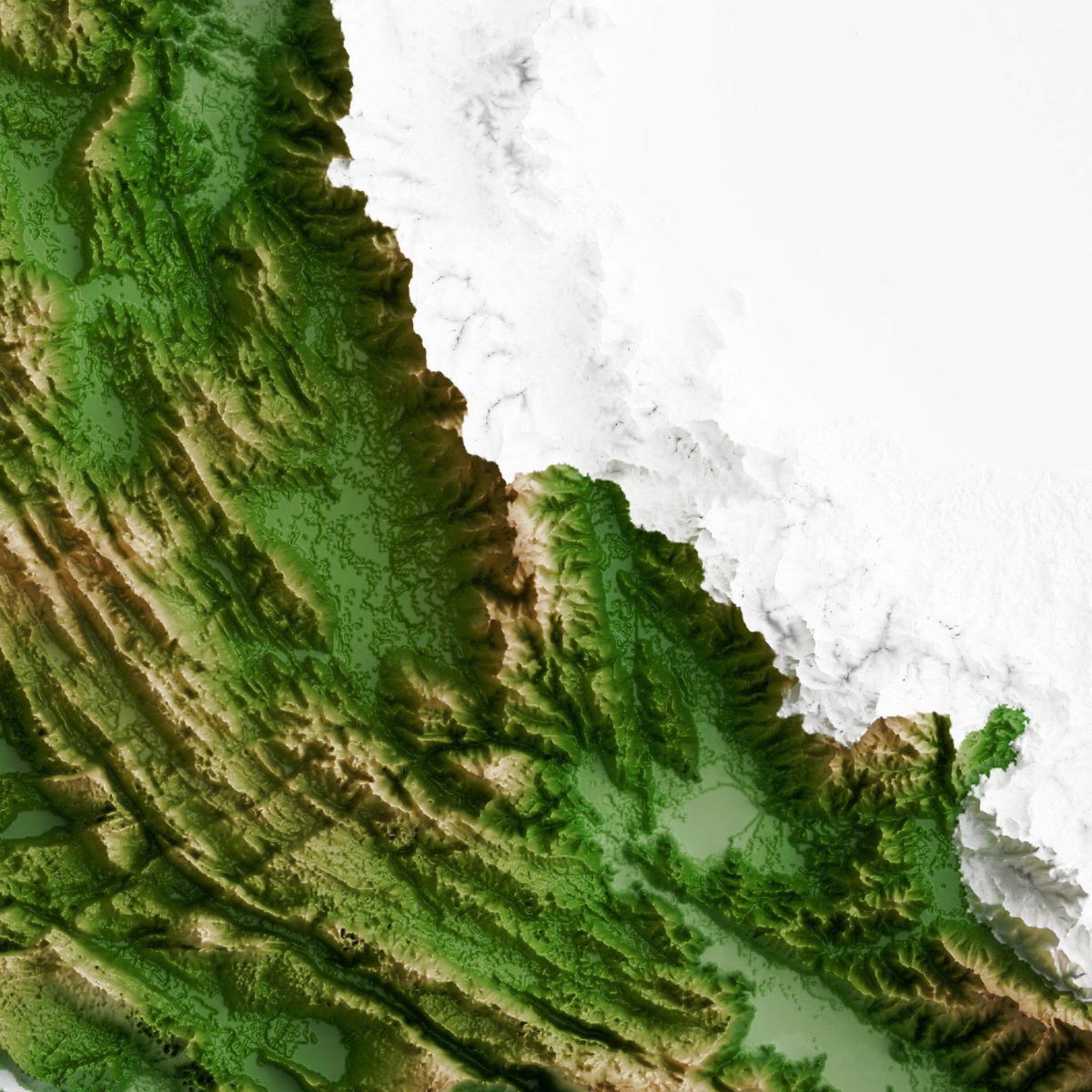
Here are #ShadedRelief maps of #WestPapua Province, showcasing its breathtaking landscape. One of the most captivating features is the mountain ridge structure, formed by the tectonic activity of the #LengguruFold and #ThrustBelt in the heart of the province. #3Dmap#QGIS
Here’s a #shadedrelief map of Southwest #Papua. This new province, formed in 2022, is home to the stunning #RajaAmpat Marine Conservation Area, famous for its coral reefs, giant turtles, manta rays, and whale sharks—truly a diver’s paradise. #3Dmap#QGIS#Blender#topography
Here’s a #ShadedRelief Map of North #Maluku, historically known as the "Spice Islands" for its cloves and nutmeg. #MountIbu, an active volcano in the region, recently erupted and became the most active volcano in Indonesia throughout 2024. #topography#qgis#3dblender
Shaded relief map of #WestSumatra, a province on the western coast of Sumatra with plains, mountains, and volcanic highlands formed by the #BukitBarisan range. It's earthquake-prone due to its location between 2 major tectonic plates & the active #GreatSumatranFault. #qgis#3dmap
For everyone curious how @g_fiske and I have been making our latest fanciest hillshades, 100% of the credit goes to Gene Trantham and Patrick Kennelly who compiled their sky-model hillshade tools into a #ArcGIS toolbox you can see here: https://t.co/2kdGZFubNs
Short 🧵 below
Here’s a shaded relief map of #Lampung, a province in southern #Sumatra with a diverse landscape. Hills line the west & south coasts, connected to the #BukitBarisan mountain range that runs through Sumatra Island. It's also home to #WayKambasNationalPark, famous for its elephants
Here's a 3D #topographic map of #SoutheastSulawesi, #indonesia. The upper region highlights parallel mountain ranges, while the southern part features narrow coastal areas. The province is renowned for sea tourism and is home to #Wakatobi National Park. #3dmap#blender#qgis