Ph.D. Earth Sciences. Geospatial, data sci, EO, lidar, landslides, GEE/MPC, outdoor rec and public lands advocate. Tweets are my own. Pronounced "Shipe"
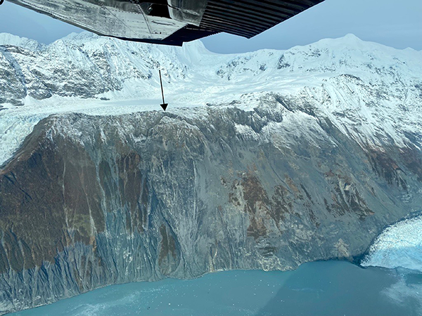
Barry Arm Landslide Update 10/21/22.
We continue to see movement in the area and ask people to exercise their best judgement and, where possible, limit travel in the Barry Arm area.
More info:
https://t.co/b3zpsbijD1
🔥Great to see the @ForestService GTAC Monitoring Trends in Burn Severity (MTBS) Thematic Burn Severity raster data now available in #EarthEngine!🔥
https://t.co/toCOpFHEWm
Now to get it optimized in Climate Engine to use alongside other vegetation, drought, and climate data 🤔
@mihai_niculita Thanks Mihai! Yep that is an option but it's rather computationally inefficient. I think TauDEM will do what I need but I've not had much luck running it via python.
#geotweeps - does anyone have a simple raster solution to get the relief of a watershed without first computing the watershed and then extracting the max elevation from the resulting shed? No ESRI....
Looking to do this across every pixel of a raster. Thx! #gischat#gis#python
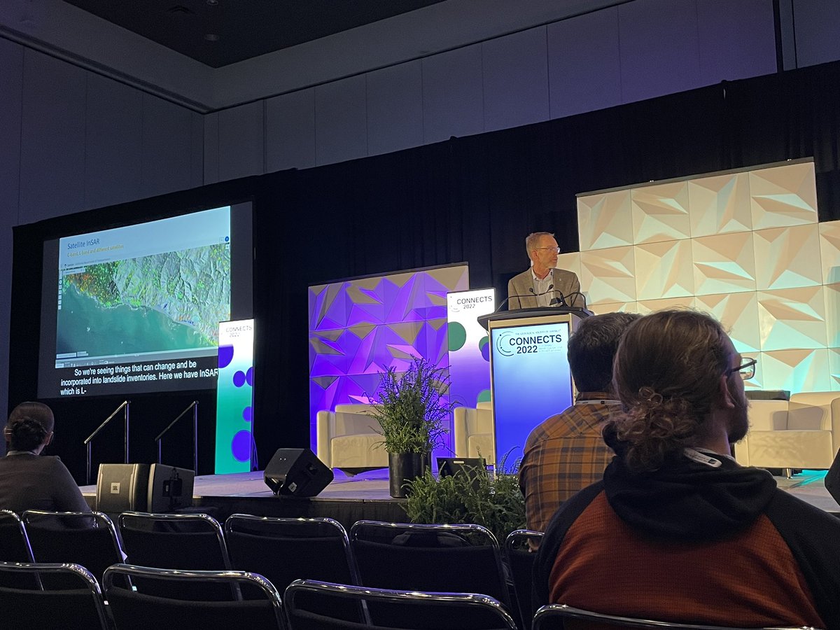
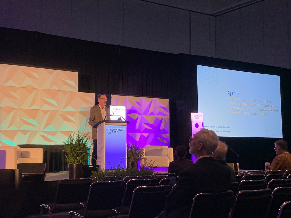
#GSA2022 you were TOO GOOD! Old friends, new friends, inspiring talks. Lost track of how many people I met in person for the first time after collaborating online for 2 years. Can't wait till Pittsburgh 2023!
@geosociety
I met a few students at #GSA2022 seeking jobs after their undergrad or graduate degree and mentioned that @BGCEngineering 's 2023 hiring campaign begins soon. The job portal is now open! https://t.co/qx9z7VOUOG . If you have any questions feel free to DM me.
Graduate students: Get free #lidar for your research via the @NCALM_UH Seed Proposal program! All NCALM seed datasets become publicly available via OpenTopography following a 6 month embargo. Check out the 235 NCALM datasets available via OT here: https://t.co/tgSwFrN1RM
At #GSAConnects2022 in Denver or online? Come check out our session Tuesday on post wildfire surface processes and hydrology ...plus a poster session on Wednesday!
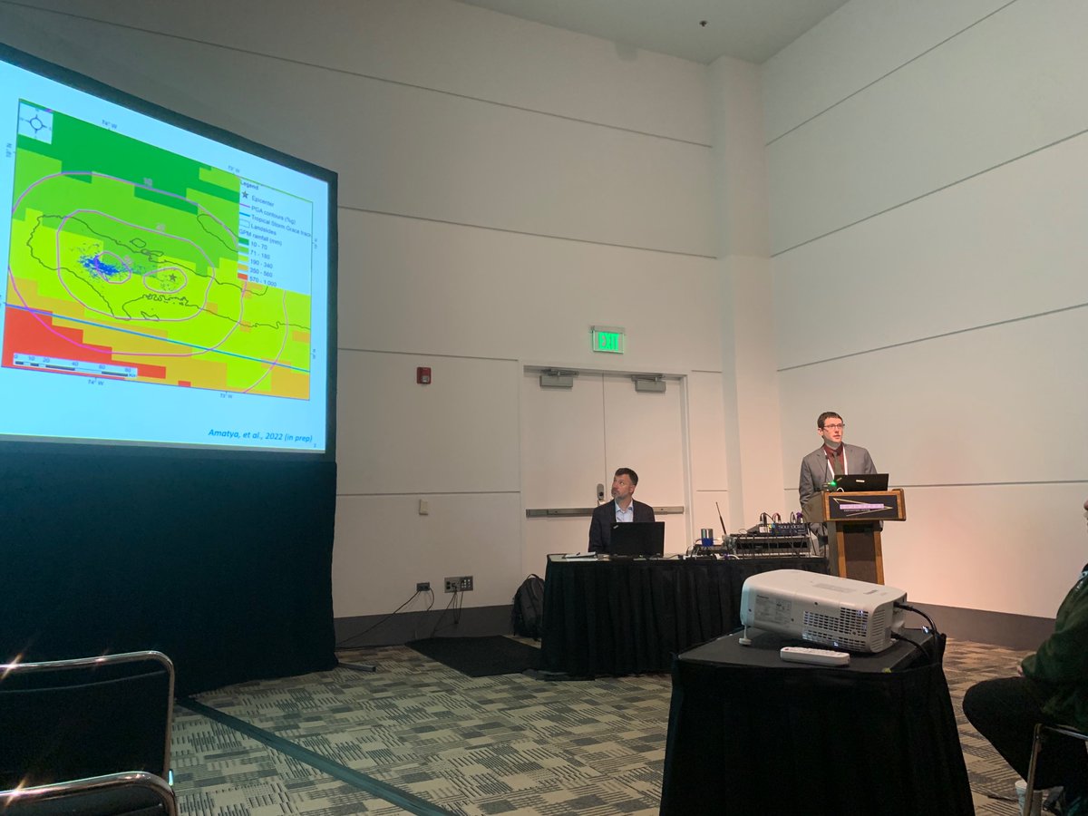
Really exciting to see my @BGCEngineering colleagues presenting at @geosociety#GSA2022 , with heavy weight on how remote sensing fits in our work. I’ll be presenting tomorrow at 2:05 in room 205 on post wildfire debris flows and the November 2021 floods in BC.
Looking forward to teaching the landslide mapping webinar in this NASA ARSET series. I will show how to use the InSAR products from Copernicus Sentinel-1 radar stored at @Ak_Satellite pre-processed by @aria_hazards to do time series analysis with MintPy.
Geo-Tweeps please spread the word about the Environmental and Engineering Geology Division award ceremony. Come for beer/food stay for science! https://t.co/1emsDJyFbO