Look up 👀 a meteorite lights up Wellington’s sky, caught live on the PredictWind webcam at Heretaunga Boating Club on 30 Jan 2026 ☄️
https://t.co/n9K961KWjc
Bit more than wind chop on the cam this time…
#predictwindcam#predictwind
This Black Friday we’re taking $150 off the PredictWind DataHub. Sailors love this device, and rightfully so…
Pair with a Pro sub for:
🗺️ 100% accurate, continuous GPS tracking
⛵️ Over the Horizon AIS (see vessels up to 300nm ahead)
💨 AI polars (routing modelled on your boat’s real performance)
📲 Stream NMEA data to any device 📊 Feed your tracking page with live boat data 👩💻 Autopilot control through app integration
Need we say more?…
Limited time. While stocks last. Click the link in our bio to get a DataHub for your boat 👆🏼
https://t.co/EfCRDZf2B0
"When we have got wind...they rip"
Alan Roberts from Team Holcim-PRB shares his thoughts on the forecast and how the IMOCA fleet will handle the fast, breezy conditions ahead... https://t.co/OrOXFW5Drc via @YouTube
"We are very ready for it"...
Rosalin Kuiper from Team Holcim-PRB gears up for Leg 2 of The Ocean Race Europe 2025 ⛵
The crew is ready to fight back after a challenging Leg 1. https://t.co/hksdyZGC2j via @YouTube
"Our boat especially is made for strong winds"...
Here is Ambrogio Beccaria from Team Allagrande Mapei talking the forecast before departing Portsmouth and kicking off Leg 2 of The Ocean Race Europe 2025 💪
https://t.co/Bm4FK5soWt via @YouTube
Sick of being caught out by surprise rain? 🌧️
Meet PredictRain - ultra-precise, AI-powered forecasts updated every 15 minutes.
👉 Find out more: https://t.co/MMVODmr718
🌊 Tropical Storm Gil has strengthened in the Eastern Pacific and continues to track northwest.
💨 Current winds: 45 kts (52 mph)
⚠️ Classified as a Tropical Storm (moderate danger)
Gil’s development in the last 24 hours:
- Jul 31, 06:00 → 35 kts
- Jul 31, 12:00 → 45 kts
- Aug 1 → Holding at 45 kts
While not expected to make landfall yet, Gil is under close watch for potential intensification.
🔗 Track here: https://t.co/Uyg5SJucWb
1️⃣ Hurricane Iona
Cat 3, winds up to 125 mph
Positioned south of Hawaii
2️⃣ Tropical Storm Keli
40 mph winds (35 kts)
Currently steady, moving west
Not expected to make landfall
3️⃣ What This Means
Double storm activity = higher unpredictability
Mariners & residents should stay alert
Track live → https://t.co/NJ7NffIINK
🌪️ 2 storms in the Pacific.
Hurricane Iona (Cat 3) is now joined by Tropical Storm Keli, tracking west with sustained winds of 40 mph.
📍 ~790 miles SE of Honolulu
⚠️ Could bring stronger winds & rainfall in the coming days.
Live tracker → https://t.co/NJ7NffIINK
#TropicalStormKeli #HurricaneIona
🌀 Typhoon Krosa is intensifying - and fast.
This Category 1 storm is tracking northwest across the Pacific with winds peaking at 80 knots (148 km/h).
Here’s what we know so far:
📍Current position: 145.3°E, 24.4°N
💨 Wind speed: 80 kts
⏳ Formed: July 24 at 35 kts - doubled in strength in just 3 days
Forecast models show continued movement toward northern latitudes.
📍 Track the storm in real-time → https://t.co/5Z121oMPQp
Arnaud (our in-house meteorologist) is preparing the official weather briefing for the Rolex Fastnet Race 2025 ⚡
Follow along...
https://t.co/HHiIaBYumv
PSA 🚨 everyone's fav weather briefer has landed in the Isle of Wright, ready for the Rolex Fastnet 2025.
Follow along as Arnaud briefs the teams for the upcoming race ⛵
🌪️ Tropical Storm Wipha has intensified in the Western Pacific, reaching peak winds of 65 knots.
📈 Currently tracking westward with 50kt winds, Wipha has already impacted:
• Hong Kong 🇭🇰 with delays and heavy rainfall
• Southern China 🇨🇳 and Vietnam 🇻🇳 now bracing for landfall
• Peak strength recorded July 20 at 65kts
This is a high-impact storm for the region - with ongoing risks of flooding, wind damage, and power outages.
🗺️ Track Wipha live on our Storm Tracker:
https://t.co/5WpaaZRUNi
#PredictWind #TropicalStormWipha #stormwatch #marineweather
🔥 Extreme heat isn’t just hitting the usual suspects.
🌡️ Recent records show staggering highs across northern latitudes:
- 33.3 °C in Steinkjer, #Norway
- 29.5 °C in Hjarðarland, #Iceland
- 30 °C in #Arctic Rovaniemi
📌 Tap the map here → https://t.co/eYep7IRQdt
#Climate #Weather #Heatwave #MarineWeather #Sailing
🌀 Tropical Cyclone 01S is churning through the Indian Ocean, with winds peaking at 35 knots.
📍 Currently classified as a Tropical Depression, it’s been tracking steadily southwest since July 16:
• 35kts near 89.9°E, -9.7°S
• Gradual weakening toward 30kts by July 18
• Still active and being closely monitored
This system may be losing strength - but for offshore traffic, it’s one to watch.
🗺️ Track it live with our Storm Tracker + map embed:
https://t.co/YijegWywVI
#PredictWind #TropicalCyclone01S #stormtracking #marineweather
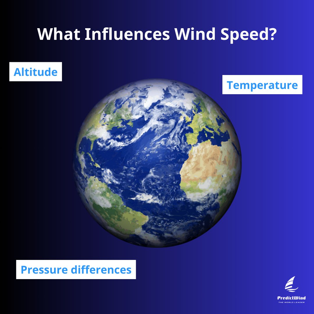
Ever wondered what makes the wind speed up or slow down from forecasts?
🌬️ It's more than just a breeze! What do you think is the biggest factor affecting wind speed?
We're happy to introduce our brand new Split Screen feature. Now you can compare two maps side by side, whether it's wind + current, rain + gusts, or any other critical weather combination. This feature gives you the insights you need to make informed decisions faster by making quick comparisons.
Plus, our upgraded map animations and customizable views make it easier than ever to get a comprehensive understanding of weather conditions. Explore the new Split Screen feature under the 'Maps' menu when you go on PredictWind.