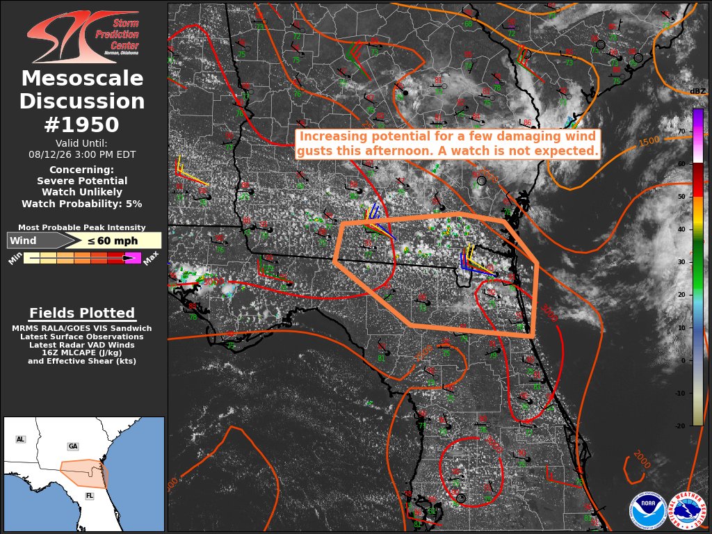
Isolated T'storms will increase in coverage/intensity 2PM-7PM today, especially near I-95 as T'storms move eastward & merge w/ the Atlantic seabreeze.
Isolated Strong T'storms hazards:
Gusts 40-50 mph 🌬️
Frequent lightning ⚡️
Torrential Downpours💧
#flwx#gawx@JaxReady
BOLT FROM THE BLUE!⚡️Caught on camera this week in the Tampa Bay area. Classic example of how lightning can strike 10 to even 25 miles away from a parent thunderstorm. 6 people have died in Florida from lightning strikes so far this year. When thunder roars, go indoors! Credit: Mandeville Photography @stormhour
"The way I see it, if you want the rainbow, you gotta put up with the rain."
We're working just a little harder at our 9 to 5 today. This forecast is for you, Dolly.
@NWSJacksonville Public Information Statement
National Weather Service Jacksonville FL
Issued by National Weather Service Tallahassee FL
1034 PM EDT Thu Aug 13 2026
...ALL NOAA WEATHER RADIO TRANSMITTERS ARE DOWN UNTIL FURTHER
NOTICE...
It seems that everything to do with @NWSJacksonville is down.
Radar is down and hasn't updated since 9:15 PM.
WNG522, KHB39, and WXJ60 were previously playing the "off the air message", and are now only static.
And their phonelines are off the air.
🌪️A potential tornado was reported at Keystone Heights Airport this afternoon. We are working with the local emergency management to determine if there was any damage from this funnel.