Scattered showers and storms in beautiful north-central Georgia this afternoon 🌧️
Don't let the rain catch you off guard on your Labor Day weekend, keep an eye on radar and stay prepared!
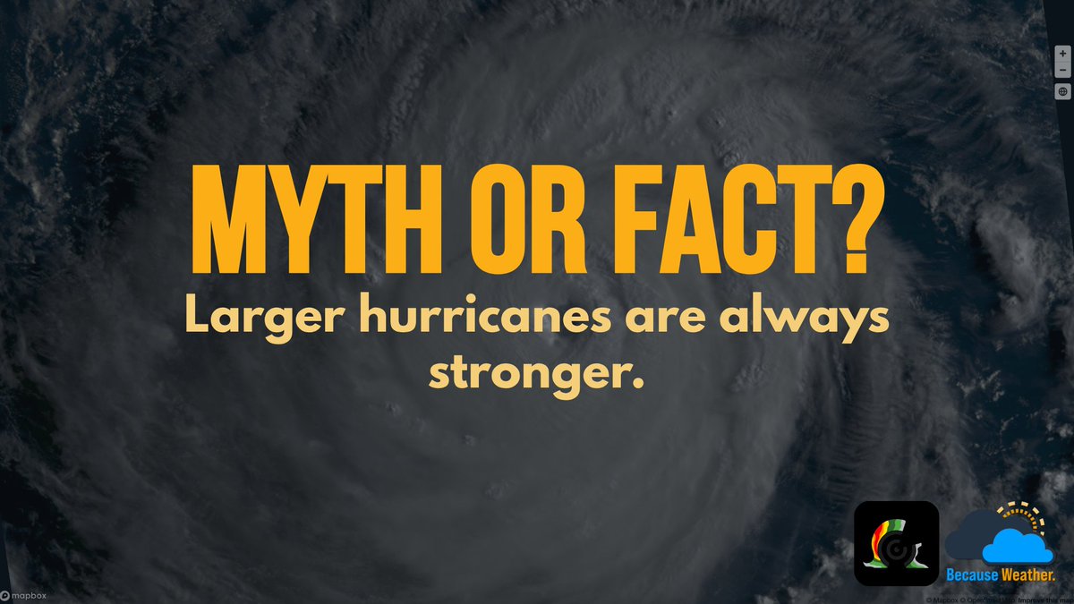
Hurricane size describes how far its winds extend, while intensity is based on maximum sustained winds. A compact hurricane (like the 1935 Labor Day Hurricane) can be just as intense, or even stronger, than a larger storm.
Keep an eye on radar this afternoon if you're in parts of western to central North Carolina & South Carolina.
Clusters of thunderstorms will likely pose the risk for scattered damaging winds & some hail; be sure to have ways to receive weather alerts if you have outdoor plans!
Hurricane Lowell is a Category 4 with 150mph winds. Model guidance agrees the storm could approach the western Hawaiian Islands Monday after turning north. Watches may be issued later today, with flooding rain and dangerous surf possible.
Oppressive heat will persist across the central & southeastern U.S. through Labor Day weekend with an upper-level ridge in place. Heat indices of 105-110°F are expected.
If your holiday plans take you outdoors, limit strenuous activity, stay hydrated, & take frequent breaks.
Heads up, Mid-Atlantic: A severe thunderstorm watch is in effect until 9PM EDT including Charleston, WV & Washington D.C.
Stay weather aware through the evening as damaging wind gusts, large hail, & a tornado or two will be possible with scattered storms.
Stay prepared no matter what hurricane season brings. Track developing systems, monitor changing conditions, and access the information you need. #HurricaneSeason#Tropics
The Pacific is busy, with three hurricanes active across the basin today.
While no coastal warnings are currently in effect, Hawaii should closely monitor Lowell as watches may be needed for portions of the westernmost islands on Saturday.
Severe Thunderstorm Warning including Cleveland OH, Parma OH and Lakewood OH until 7:00 PM EDT. #OHwx
‼️This destructive storm will contain wind gusts to 80 MPH!
Hurricane #Lowell in the eastern Pacific is a situation to monitor for those with interests in the Hawaiian Islands. Model guidance is in agreement on a northward turn this weekend, meaning the storm could move near Hawaii at or near major hurricane strength early next week.
The Great Lakes Basin is once again the main focus of severe weather in North America today. Here's a look at the current situation in and around Lake Erie, where a pair of mesoscale convective systems are moving through the area. Damaging winds are the main threat at this time.
#OHwx #PAwx #MIwx
A look at #Edouard's progression since yesterday morning, from the moments leading up to landfall through it's progress into Texas today. The storm managed to remain relatively organized several hours after landfall, which led to impactful flash flooding as a result of heavy rain.
Take a look at this impressive velocity signature associated with a thunderstorm passing over CASET in southern Ontario this afternoon!
This thunderstorm, capable of destructive winds, prompted the issuance of a Severe Thunderstorm Warning with an Extreme Impact Level tag.
#onstorm
A Tornado Watch has been posted for parts of Upstate New York valid through 11pm EDT this evening!
Strong to severe thunderstorms will move into the area out of southern Ontario in the coming hours. A couple intense tornadoes will be possible, along with wind gusts up to 70mph.
#NYwx #onstorm
On September 2, 1935, the Category 5 Labor Day Hurricane struck the Florida Keys with estimated winds of 185mph and a pressure of 982mb, the lowest recorded at a U.S. hurricane landfall. Today marks 91 years since the historic storm.
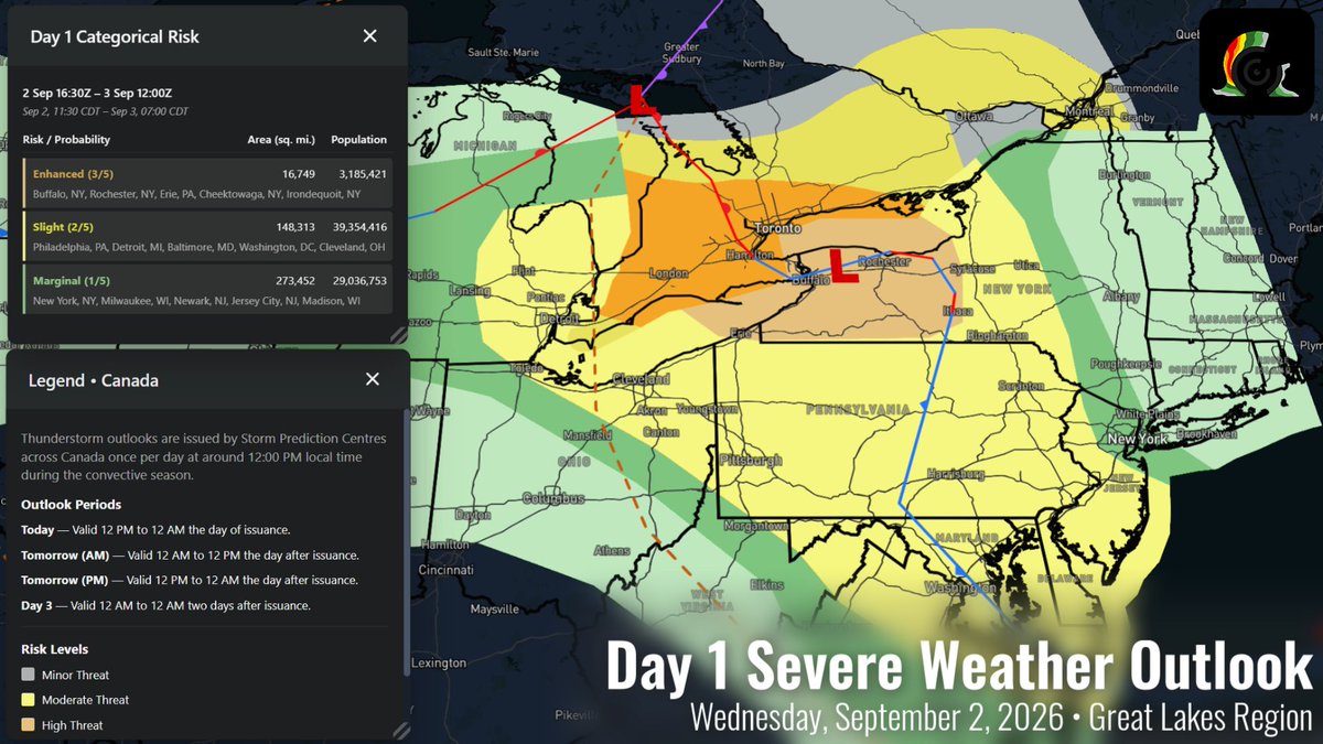
A notable, binational severe weather threat is on deck today centering around upstate New York, the Greater Toronto Area, and surrounding regions.
Damaging winds should be the main threat. Some instances of large hail may occur, and a few tornadoes cannot be ruled out.
#NYwx #onstorm
Big problems in southeast Texas this morning: a band of heavy rainfall associated with Tropical Depression #Edouard has remained nearly stationary for several hours, resulting in impactful flash flooding. A Flash Flood Emergency is posted for parts of Hardin and Tyler counties.