Measure lengths, distances, and areas from live video when using measurement tools within LandForm® X.
#isr#augmentedreality#situationalawareness
https://t.co/CVcp36VfSB
Enjoy a John Madden-like experience when executing your airborne operations by using LandForm® X’s innovative geospatial telestrator.
https://t.co/B6XPmpycge
#isr#augmentedreality#situationalawareness
This means our technologies are designed to deliver enhanced perception, comprehension, and projection to end-users, thereby promoting situational awareness and improving operational efficiency and effectiveness.
Learn more: https://t.co/L15nK3f7I4
We are excited to announce a call for users of our new product RespondAR . Offering real-time GIS overlays based off of our decades of technology used by NASA and US Army Shadow and Gray Eagle programs. Sign up today!
https://t.co/DPRKAbqXu2
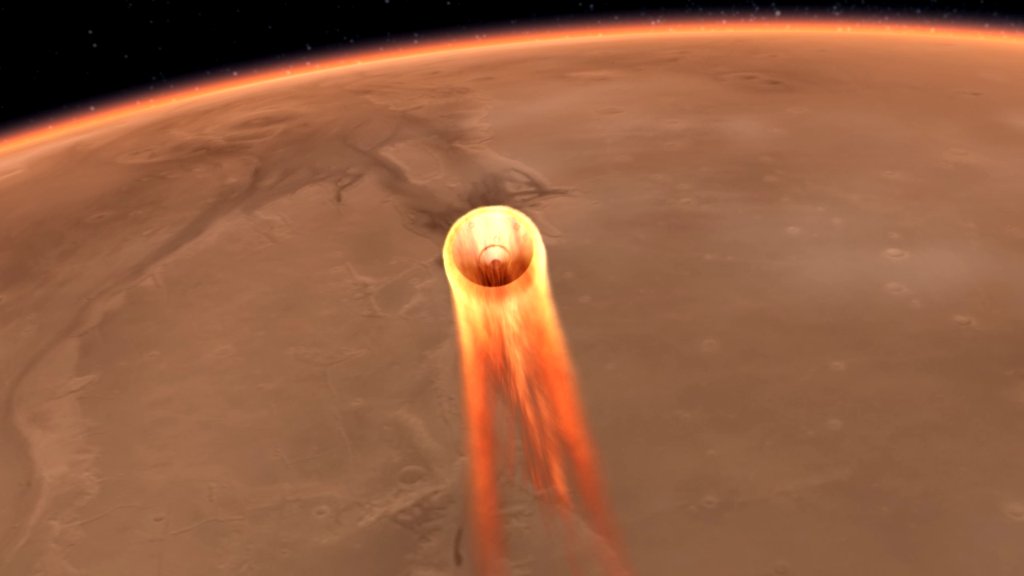
Around 3pm EST today, the @NASAInSight lander will touch down on the Red Planet! Want to watch the #MarsLanding live? Find out how to tune into the live broadcast or attend a watch party in your area! https://t.co/CynnXRgHaI
A special thanks to our troops that are currently overseas and away from their families and to the military families that are at home but away from their loved ones.
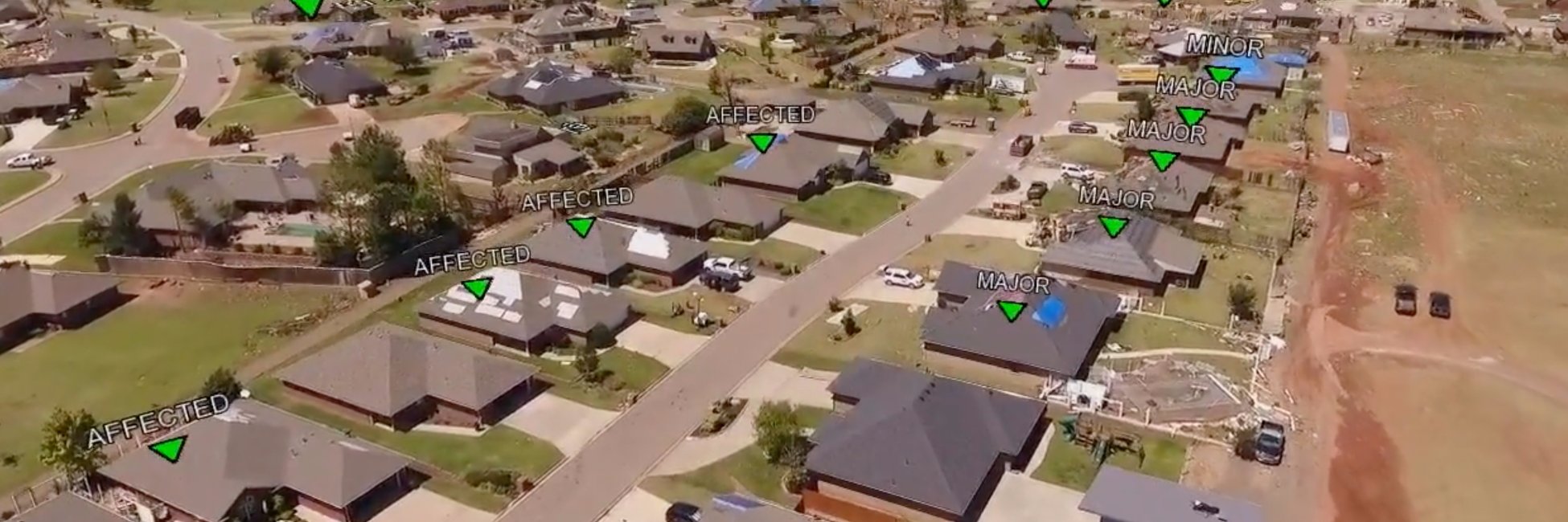
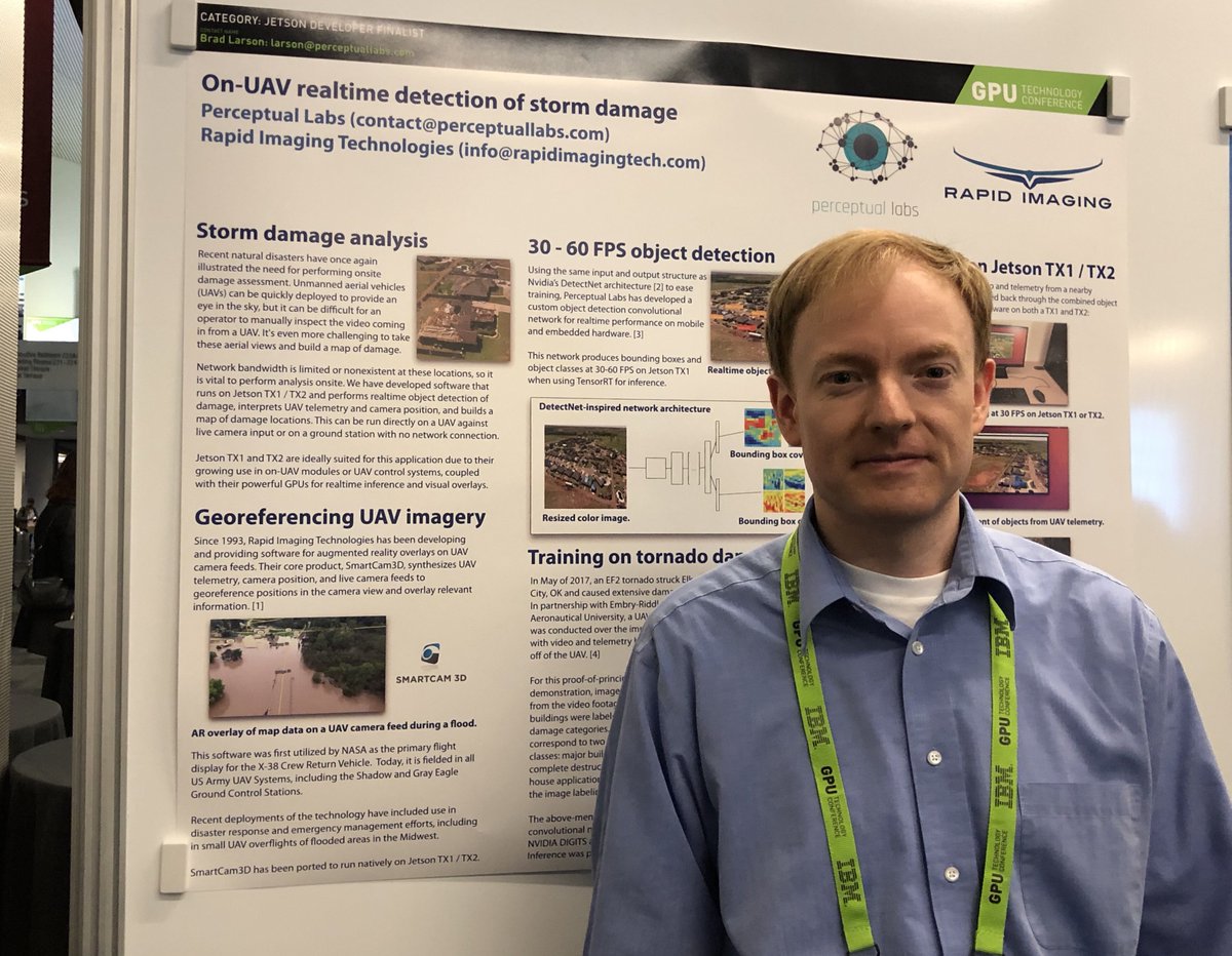
Our Jetson Developer Challenge entry, performing realtime object detection to identify storm damage, won third place in NVIDIA’s competition: https://t.co/FuCXCUprgH
Heading out to NVIDIA’s GTC in San Jose tomorrow: https://t.co/hdCz6ZneJ9 and will be out there all week. Presenting a poster during the Monday session on realtime CNN-based object detection in UAV video.
Our project “On-UAV Realtime Detection of Storm Damage” is one of three finalists for the NVIDIA Jetson Developer Challenge: https://t.co/WoUlmBUhhx . I’ll be heading to GTC 2018 in San Jose to present it there.