Relive 60 years of soccer history at Mexico City’s Aztec Stadium with Google Earth and Fundación ICA. ⚽🌎 https://t.co/T3FmQ7iITk
Mexico City's Estadio Azteca made soccer history last month during the tournament opener between Mexico and South Africa. In hosting this match, it became the first stadium in the world to host games in three global soccer showdowns: 1970, 1986, and 2026.
And now you can experience the storied arena without being in the stands. Through this collaboration, you can get an up-close look at Estadio Azteca through an interactive digital canvas and imagery dating to the 1960s.
Today, we’re thrilled to announce the launch of Shapefile and 3D model import support on Google Earth. Plus, we’ve also added elevation profiles to the measure tool just for… good measure! https://t.co/vpIJA3HCv4
You’ve made it clear. You want to be able to bring more of your data and models to Google Earth’s real-world canvas. We're excited to take the next step in delivering on that promise with these new features:
🔶 Shapefiles (SHP): Render industry-standard geospatial data as performant, cloud-native layers.
💡 3D Models (GLB): Place custom architectural mock-ups, massings, and more in a visually rich context.
🗻 Elevation Profiles: View detailed terrain data in the measure tool you already know and love.
These new features are live now on Google Earth!
No place like home 🌎 Today we celebrate Earth Day with a cinematic voyage through the hidden corners of the world and the beautiful wonders of this planet. Here is a closer look at the landscapes that created today’s #GoogleDoodle:
G – United Kingdom, Europe
O – Canada, North America
O – Argentina, South America
G – Australia, Oceania
L – Senegal, Africa
E – Indonesia, Asia
Explore for yourself on Google Earth. https://t.co/r9kwhpDSH9
🚨 Grandes noticias hoy la cobertura de capas de datos de #GoogleEarth se ha expandido a México 🇲🇽 y al resto del 🌍. Ahora puedes explorar estas capas y conocer datos geoespaciales como:
🌊 Historial de inundaciones (1999-2020)
🚴 Capas de carga de vehículos eléctricos
⛰️ Orientación de 10m
¡Y muchos más!
Estás listo para comenzar a explorar en #GoogleEarth 👇
https://t.co/4OOhhkqU2u
In 2025, we doubled down on evolving Google Earth into a professional-grade geospatial platform.
In 2026, we’re hitting the accelerator. 🏎️💨
Our mission: Empower professionals to transform their businesses, their cities, and the planet.
Here is what we're building this year 🧵👇 https://t.co/5vS6JJuraA
KML? KMZ? GeoJSON? No problem. Bring your data to our real-world canvas.
https://t.co/vjMXGrkOCF
Now in Experimental, create custom data layers in Google Earth to securely combine your data with our iconic imagery and data so you can make better decisions, faster.
.@GoogleDeepMind is powering a new agricultural landscape understanding layer in Google Earth for portions of the Asia-Pacific region to bring powerful data to our iconic imagery.
https://t.co/LuyBzUI97Q
Leveraging machine learning and satellite imagery, this data layer is able to visualize the ""atomic units"" of agriculture: individual field boundaries. This model doesn't just delineate fields; it determines acreage and identifies critical landscape elements like water bodies and vegetation.
Use these granular insights to:
✅ Calculate specific acreage.
✅ Identify water resources for drought contingency planning.
✅ Deliver insights at the farm level, not just the regional level.
Go from regional aggregates to atomic units. Get the insights that inspire action.
#GoogleEarth #GoogleDeepMind #AI
See your data on Google Earth's real-world canvas.
You can now import large-scale KML and GeoJSON datasets—up to billions of features—directly into Google Earth.
https://t.co/ZvFRyJeZaM
Don’t just view your data; validate it against reality. Customize styling, create custom data layers, and uncover new insights to create visualizations that drive decisions. Take advantage of increased storage and file size quotas in our professional plans to securely overlay your proprietary intelligence atop our trusted imagery and data layers to create a single source of truth.
For 20 years, you’ve used Google Earth to understand our planet. 2025 was the year you used our new professional tools to change it. 🌍
https://t.co/qPDVkrMsH0
This year, we launched the tools to help you work #onEarth:
📂 Earth Data Catalog: You accessed rich data layers like zoning, terrain, solar, and more.
🤖 Ask Google Earth: You turned natural language into insight with Gemini.
⏳ Historical Street View: You looked back in time to validate ground truth.
💼 Professional Plans: You unlocked a powerful new canvas for your team.
Thank you for an amazing year #onEarth.
#GoogleEarth #GeospatialAI #2025Recap #GIS
🌍 Announcing the latest advancements to Google Earth AI - a platform designed to unlock a new level of planetary understanding. ➡️ https://t.co/GDCalxFB93
🔗 Geospatial Reasoning framework
🧠 Deeper Insights in Google Earth
🎉 Expanded access to Earth AI
Google Earth AI, our collection of geospatial AI models and datasets, is expanding globally and adding new capabilities. That includes Geospatial Reasoning, powered by Gemini, which automatically connects different Earth AI models - like weather forecasts, population maps + satellite imagery - to answer complex questions.
We’re also bringing new Earth AI models to Gemini capabilities in Google Earth, which make it easy to instantly find objects and discover patterns from satellite imagery. For example, analysts could spot harmful algae blooms that could impact drinking water supply, and issue warnings.
🌏 Google Earth now has a new homescreen, helping you organize 🗂️ your 🗺️ mapping projects, check it out in this 📽️ 1 min video ✨
👉 https://t.co/AYqPvQcP6C
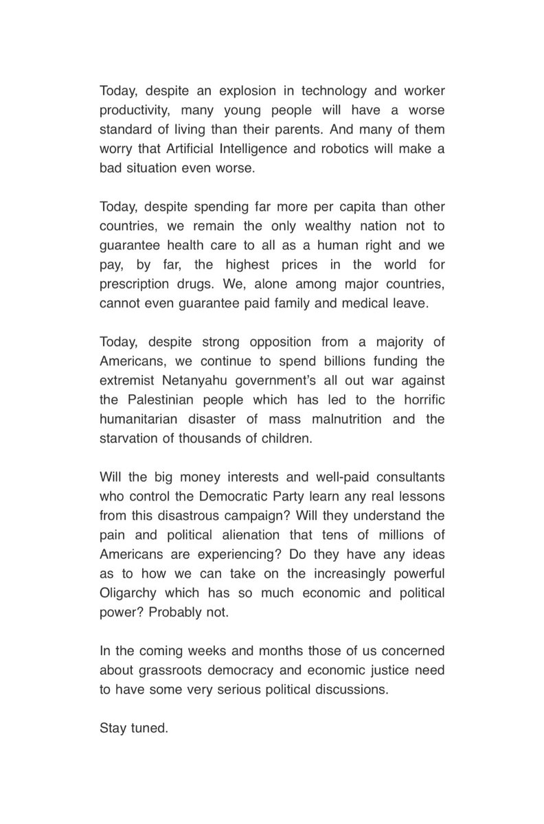
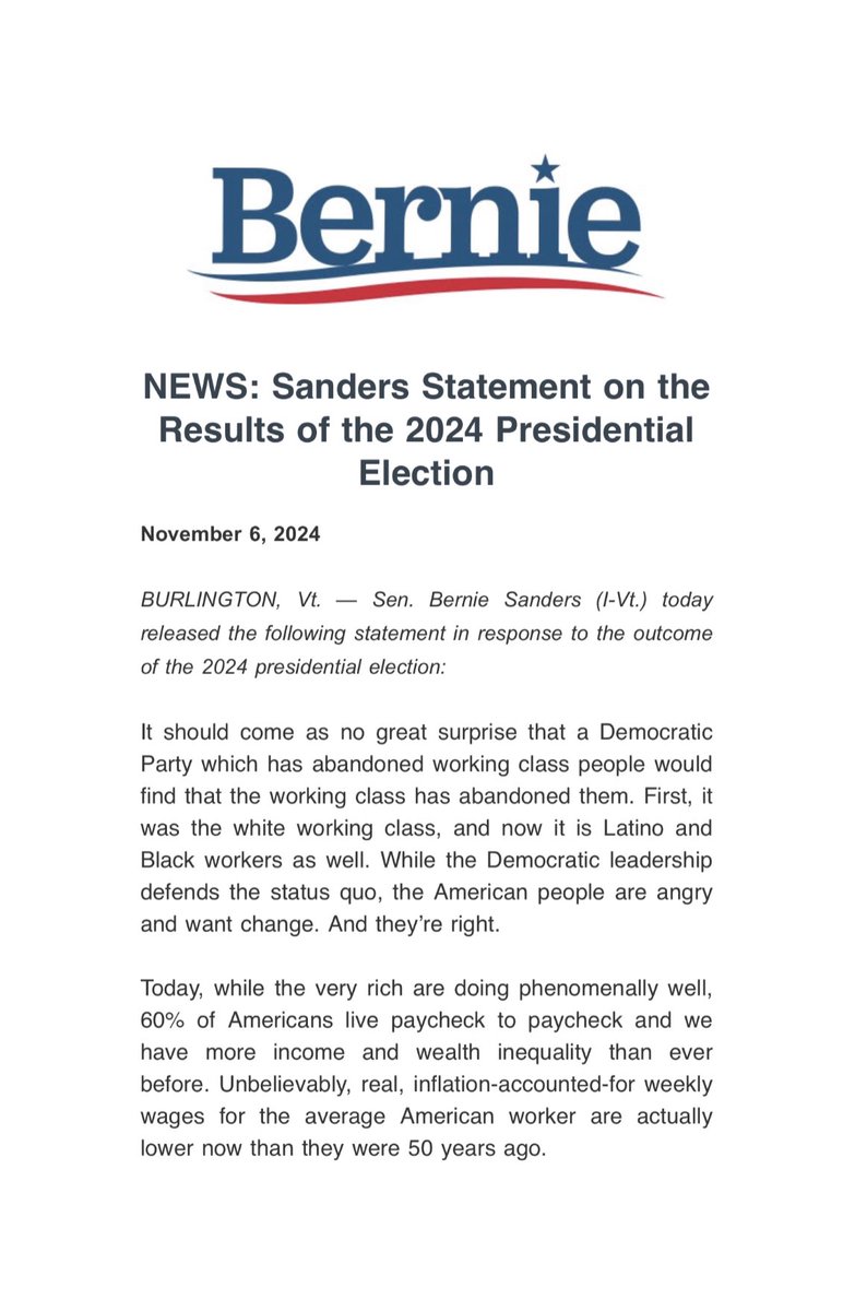
It should come as no great surprise that a Democratic Party which has abandoned working class people would find that the working class has abandoned them.
While the Democratic leadership defends the status quo, the American people are angry and want change.
And they’re right.
Sending Bill Clinton to say arabs deserve to die then sending in Liz Cheney whose father literally orchestrated the murder of 1.5 million arabs to Michigan probably wasn’t the best strategy
I’m seeing people talk about the worldwide trend of countries moving right, and I think that has to be largely understood as the failure of neoliberalism. As liberal parties move right they stop delivering for people and find themselves in political no mans land.
Of course it's hard to seize the momentum of radical change when you constantly defend your predecessor, refuse to take a stance against a foreign disaster, and want to appear with Republicans all the time.
The Liz Cheney strategy currently looks a lot less like something done in the best interests of winning and a lot more like a purely ideological choice.