We're tracking a snow potential for mainly southern and especially southeastern Kentucky late Saturday night in to Sunday. Heaviest threat will be south of the Hal Rogers Parkway with 1-4" and more possible above 2500'. Amounts drop quickly north and west.
Finally got to catch up on @NBCChicagoFire last night... Incredible acting. This show never fails to leave me on the edge of my seat. Or in a bawling mess on the floor after this week’s episode😭💔
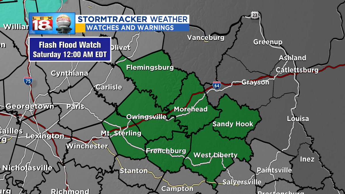
The squall line is crossing I-75. Split north to south in terms of primary threat. South of I-64, damaging winds from strong to severe thunderstorms possible. Meanwhile to the north, heavy rain is the biggest concern. #18StormTracker