We are a professional drone service provider located in BC. We specialize in mapping and inspections using LiDAR, Thermal Imaging and RGB photogrammetry
Curious about the efficiency of Drone LiDAR vs. Drone Photogrammetry in dense forest mapping? 🌳 Discover the benefits and determine which one suits your needs best! 🚀 Click the link to learn more: https://t.co/WWaw8hhavI
#LiDARvsPhotogrammetry#DroneMapping
https://t.co/qpwiOjAAjE
We are proud to have been called to bring our #droneservices in the form of #lidar to help in the efforts to restore this important stretch #BChighway after the #bcfloods . Learn how we helped contractors open the Coquihalla in 35 days
What does launching a #dronelidar system that produces Quality Level 1 (QL1)data? Like this! The @routescene LidarPod and the #djim600pro covered just about 40 acres per flight with over 400 points per square meter!
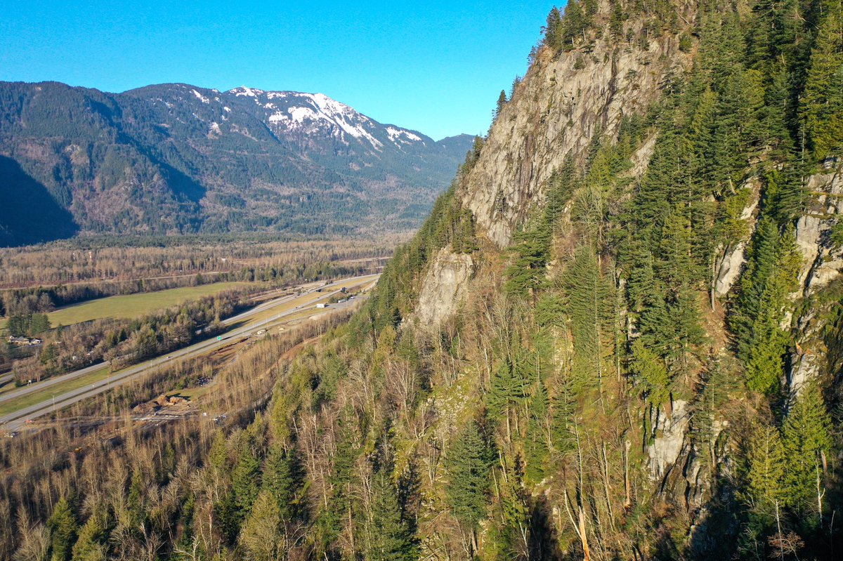
Rekon Solutions Inc had a wonderful day today hitting the road acrosss #beautifulbc to visit Hope for some #dronemapping with #lidar on a #minesite . The sun was out and the wind was not blowing! But, boy oh boy was the terrain steep!
Routescene UAV LiDAR system https://t.co/1t0ek7Wp7J via @YouTube great video from @routescene our #dronelidar equipment provider that lays out why we choose Routescene and all of the benefits that come from mounting a #lidar sensor onto a #drone platform. Check it out!
@TheDroneTrainer Flying figure 8s is crucial at the beginning, at the end and sometimes even in the middle of a mapping missions to help the IMU calibrate and reduce overall residual error. I’ll video our next flight sequence
Some days with low lighting conditions you have to adjust flight speeds and shutter durations to maintain a desired level of quality, today would be one of the days. #rekonlife#dronemapping#dronephotogrammetry… https://t.co/2JapFN7BY1