Time Flys! (And so do our #geoDVRs and #LineVision.)
Today the @RemoteGeo team is please to celebrate 10 amazing years in business!
To all our customers around the globe - Thank You for making this possible!
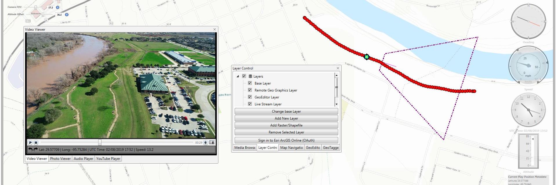
Pleased to announce our revolutionary new map-based video editing software - Video GeoEditor - has been added to the @Esri ArcGIS Marketplace:
https://t.co/40FB9Z0KhG
Now anyone can playback, geotag and edit any video using maps and GIS data! Get a Free 7-day Trial!
How-to video on @RemoteGeo's useful new feature for DJI drone users needing an easy way use their videos in @Esri ArcGIS MISB FMV Add-in: https://t.co/j74zbt6Lbq
Currently available in LineVision Desktop - Ultimate: https://t.co/4PGHOzVykx
Free trial!
Announcing the release and availability of the new geoDVR MISB FMV module for the direct recording of video with MISB FMV/STANAG 4609 compliant location metadata from airborne gyro-stabilized gimbal camera systems. https://t.co/kXrK5ohN4c
Video of a @DJIGlobal drone mapping and monitoring of #Kilauea lava flows in LineVision. @RemoteGeo donated and deployed the new LineVision Ultimate edition with CRASAR's drone public safety specialists in Hawaii the last few weeks.
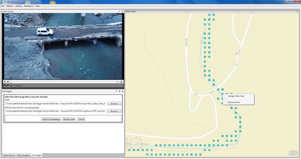
Video GeoTagger FREE by @RemoteGeo is now available in the @Esri@arcgis Marketplace - https://t.co/lneBy5PdBv - The easy way to geotag and view your videos with a map!
In Denver this week for the IEEE PES T&D Power conference? Come check out @RemoteGeo at the Trakka Systems booth 4033 to see the latest in #airborne and #drone#utilities inspection imaging and reporting technologies.
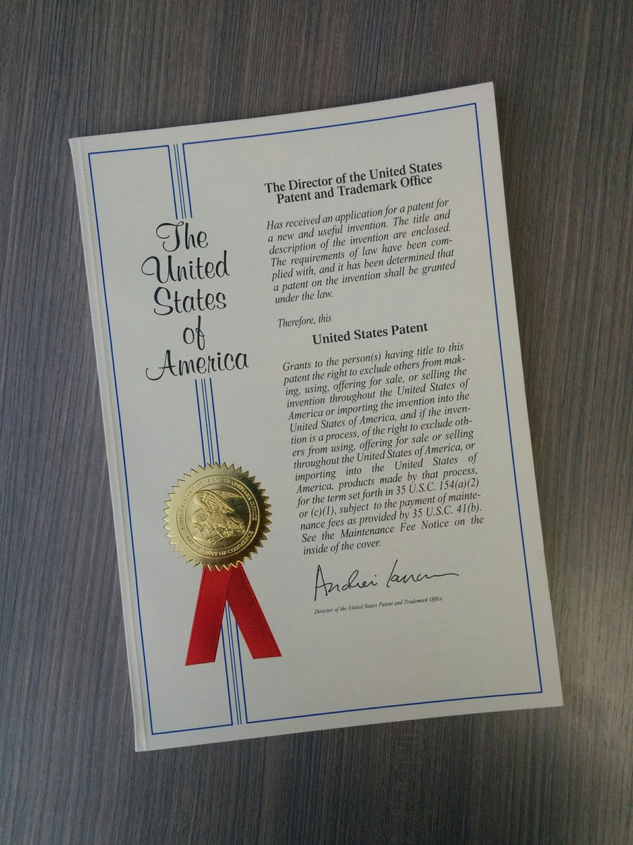
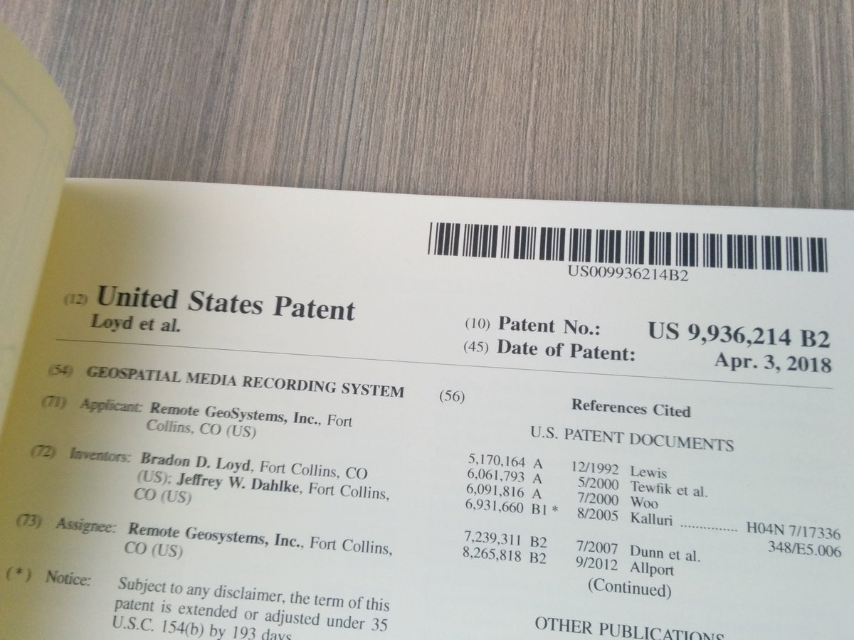
So to celebrate our 7th birthday the U.S. Patent Office gave us a little present - @RemoteGeo - U.S. Patent No. 9,936,214 - Geospatial Media Recording System!