A #machine learning framework for operational #flood mapping from Sentinel-2 and Landsat 8/9
- high-res (10-30m) flood extent maps to quantify impacts on cropland, buildings, and population
- read: https://t.co/Uxqs2uYjbR
- ml4floods repo: https://t.co/58utNduSP7
@SciReports
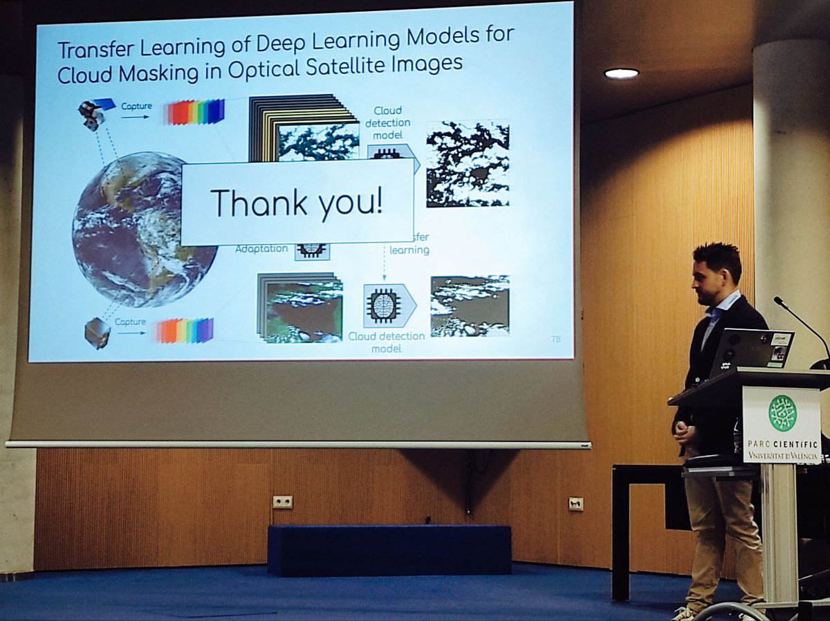
Gonzalo Mateo García @gonzmg88 just defended his Ph.D. thesis "Transfer learning of deep learning models for cloud detection in optical satellite images" @isp_uv_es@UV_EG 🌍🛰️☁️🤖
The supervisor Luis Gomez-Chova, the group @isp_uv_es, family & friends are super-proud! 🥳😍
Come and meet @remotekike He will be more than happy to explain his impressive advances in flood extent segmentation and cloud screening in Sentinel-2 images! @CopernicusEU@esa Is this a game changer in emergency response services? Must-see poster at #LPS22
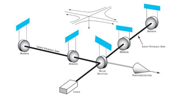
There are few inventions in history that have been used for different important discoveries. Here we are going to talk about one of them: the interferometer. #FlipPhysics 🧵
If you are at #AGU2021 applied #AI#ML research on clouds aware flood extent segmentation for emergency response services will be starting soon https://t.co/nA5LPBVzph @FDL_AI 📣📣 EO satellite images are a key component for understanding and decision making in flood events📣📣
🧐Take a look at the newest paper from
Enrique Portalés-Julià, Manuel Campos-Taberner et al. @UV_EG
"Assessing the Sentinel-2 Capabilities to Identify Abandoned Crops Using Deep Learning"
#Deeplearning#Crops
📌Full-text freely: https://t.co/4v8AH62r7j
Best wishes for 2021! We have just released #ARTMO v.3.28 with the new PROSPECT-PRO model, a time series toolbox DATimeS and most toolboxes updated with new utilities. See: https://t.co/aitQvGPdkk
I decided early this fall to apply for #faculty jobs (fingers crossed!). Lots of #geoscience friends are as well.
Whenever I see a job that might be relevant, I share it and have offered to share my materials. Someone was shocked that I would encourage “competition”. (1/3)