#MonroeMountainRX 11/7 Update
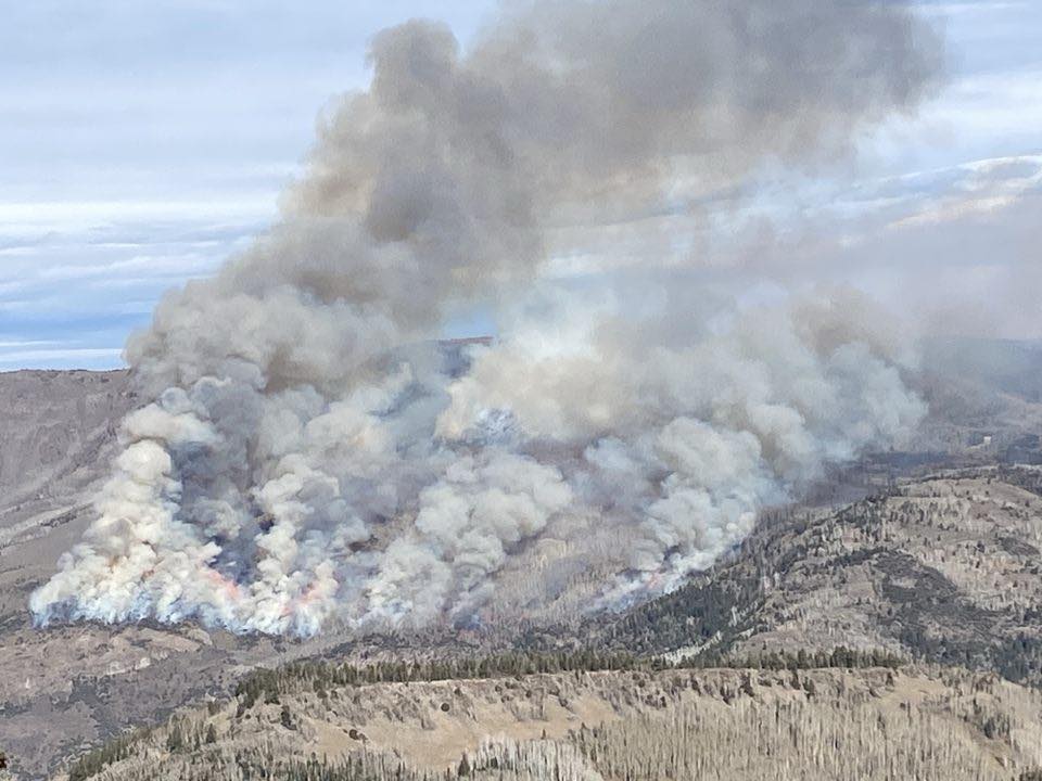
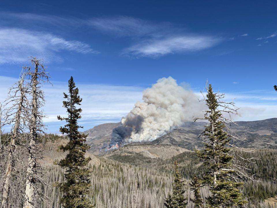
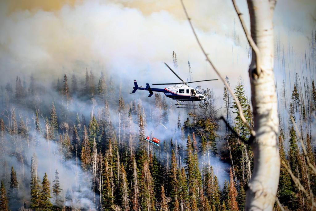
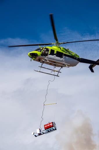
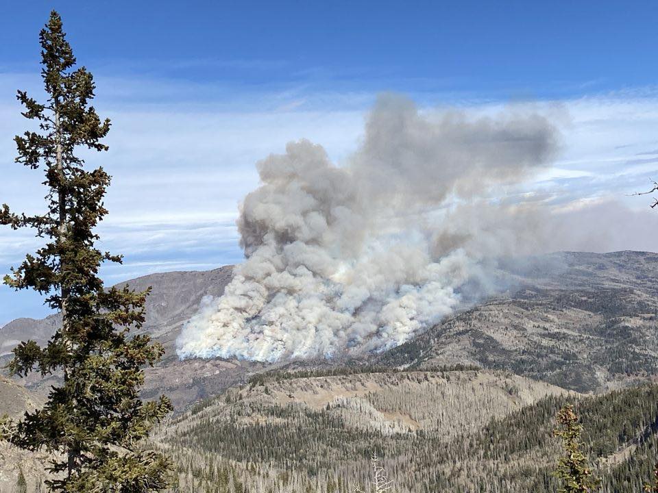
Yesterday, personnel burned 1930 acres of aspen & conifer in Signal Peak area by helitorch. Fire is still active in south & along ridge tops of burn area. Please be cautious & avoid the area.
#MonroeMountainRX 11/6 Update
This weekend, firefighters succeeded in treating ~500 acres by hand & 800 acres by Plastic Sphere Dispenser (PSD) machine. These burns occurred in aspen and mixed conifer in the area northwest of Box Creek Reservoir.
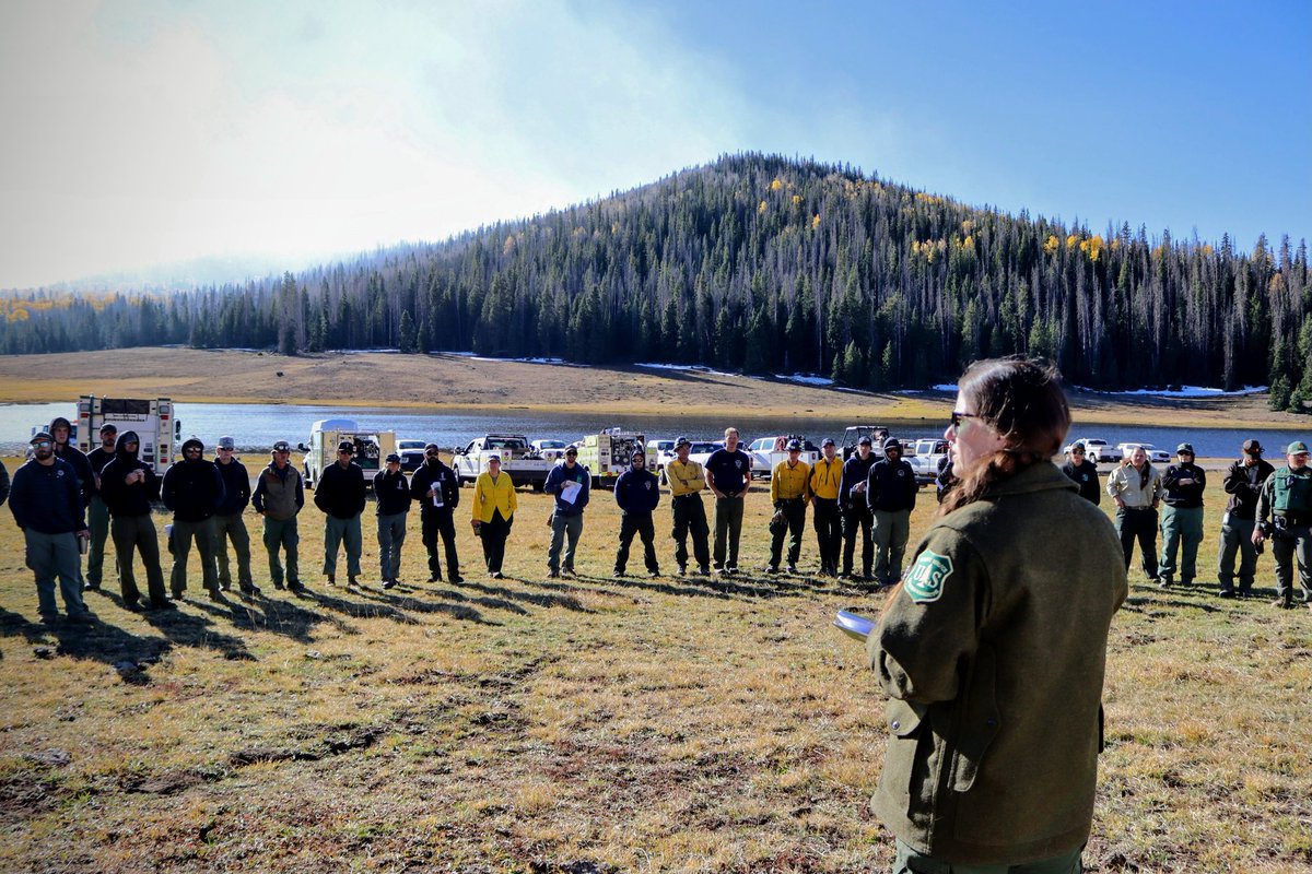
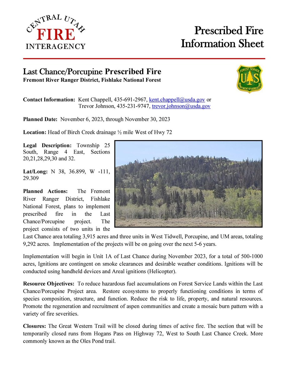
With arrival of favorable fall weather and preferred fuel conditions, #usfsFNF will conduct prescribed burn operations on Monroe Mountain during 11/3-12/2023. This important work is being done to improve forest health & wildlife habitat. #MonroeMountainRx https://t.co/OLokF8uOjS
#SouthMonroeRXFire 10/10/23 PM Update
Today, firefighters successfully burned 600 acres. No ignitions are planned for the rest of the week. Fire managers will assess conditions tomorrow to determine how soon the area closure can be lifted.
The moist and cool temperatures provided good burning conditions to safely reduce hazardous fuels and help stimulate new aspen growth in the area.
#MonroeMountainAspenEcosystemsImprovementProject
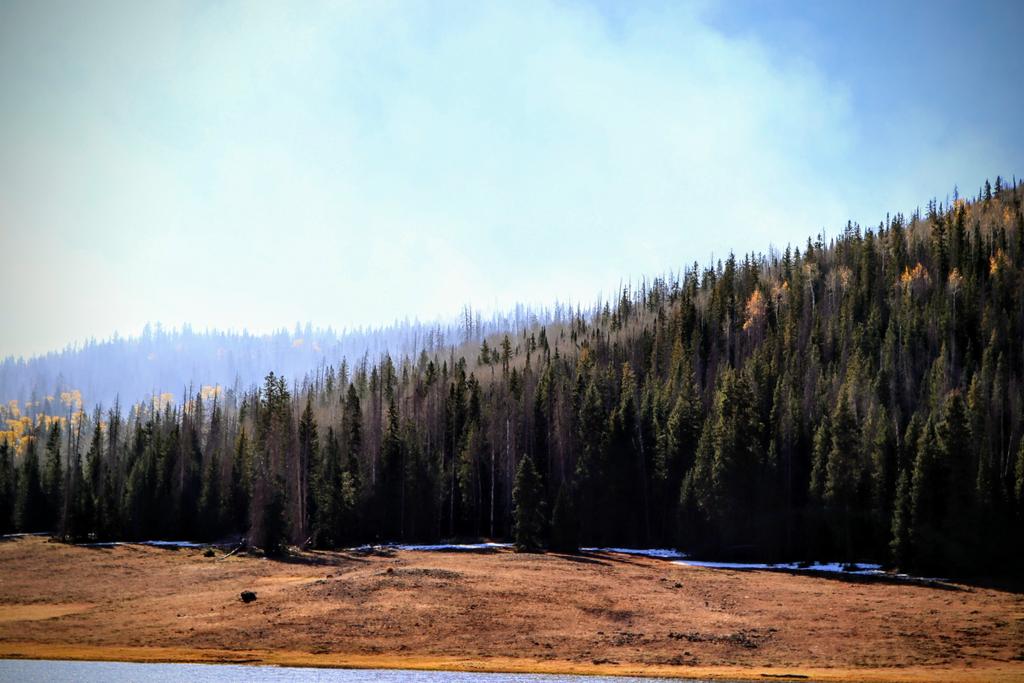
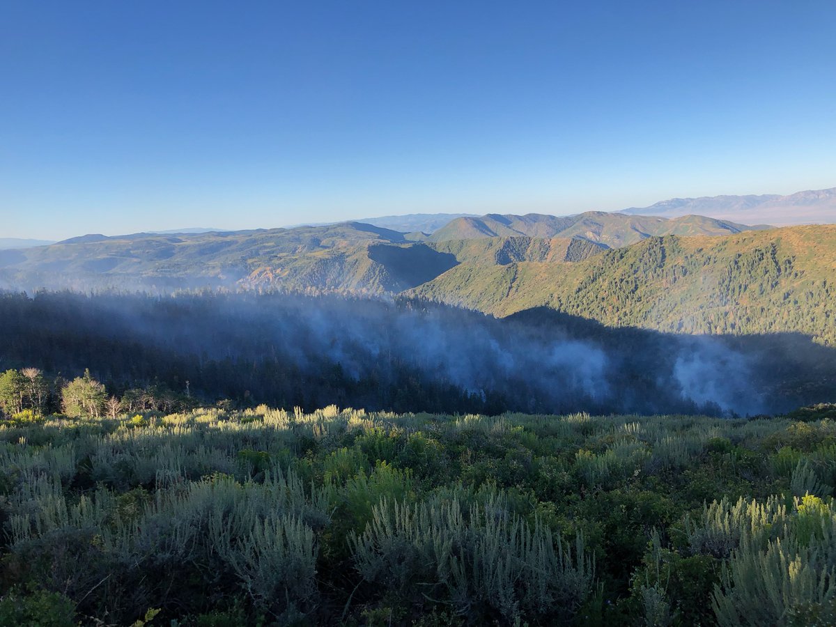
As you can see, the smoke from yesterday's operations is dissipating nicely and we anticipate that it will continue to do so after we finish burning today to give the fire and smoke time to subside before Saturday's eclipse
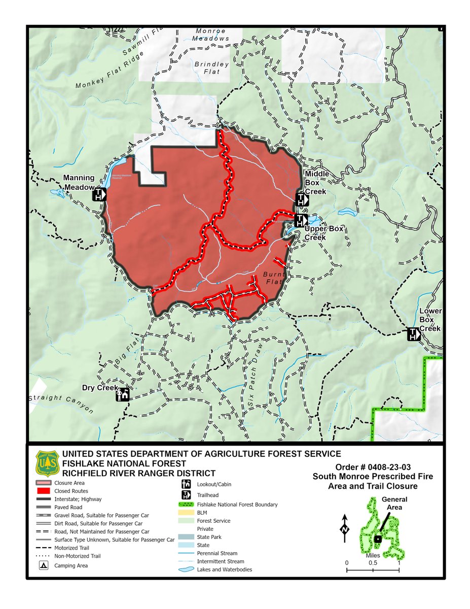
A temporary area closure has been put into place by the Fishlake National Forest. See the closure and map for details: https://t.co/nBacUIOPwE . @FishlakeNF will reopen the area as soon as it’s safe to do so.
Hunters & others enjoying the fall weather & scenery should use caution & avoid the area. Monroe Mtn is a large area that provides many hunting opportunities. With time and recovery, the burn area will improve habitat for wildlife. #MonroeMountainAspenEcosystemsImprovementProject
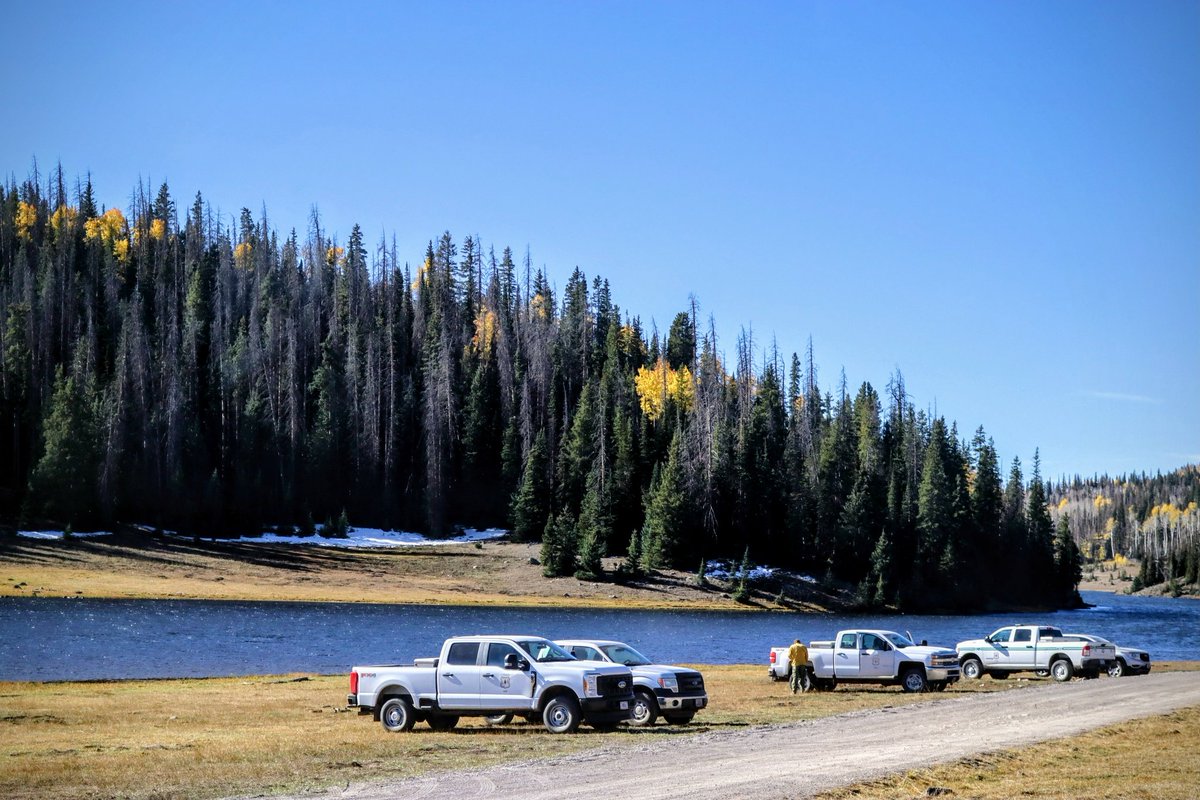
@FishlakeNF will conduct RX burn operations on Monroe Mountain during 10/9 - 10/12. This important work is being done to improve forest health & wildlife habitat. The project will also allow #FASMEE scientists to conduct smoke modeling research on-site. #SouthMonroeRXFire
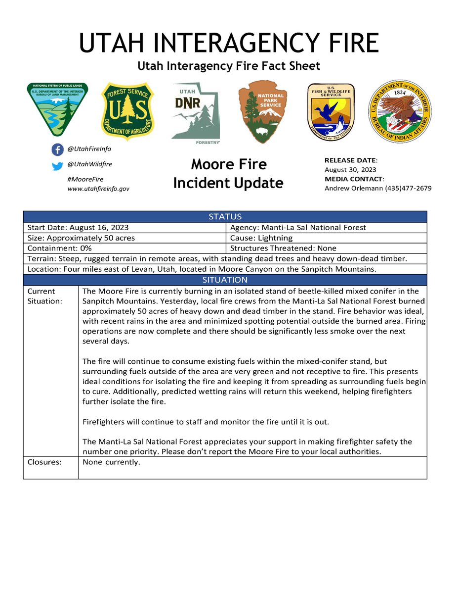
#MooreFire 50 acres. Crews completed firing operations & will continue to monitor the fire until it is out. Smoke will be noticeable while interior fuels within mixed-conifer stand burn out. Wetting rains are predicted this weekend, helping firefighters further isolate the fire.
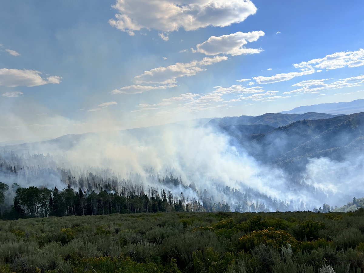
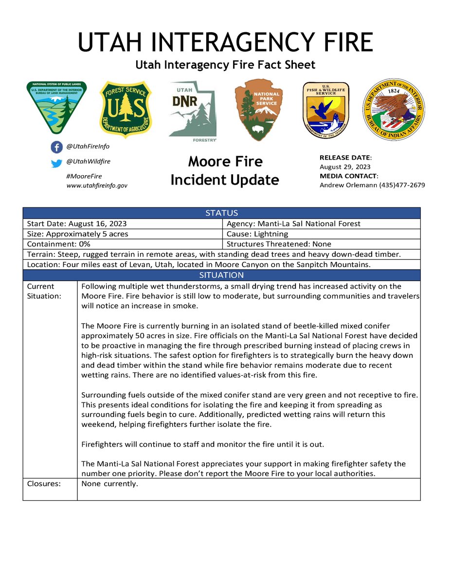
#MooreFire is 5 acres in size, burning in an isolated stand of beetle-killed mixed conifer. Surrounding communities and travelers will notice an increase in smoke as the #usfsMLF strategically burns heavy dead timber within a 50 acre area. Please do NOT report this fire.
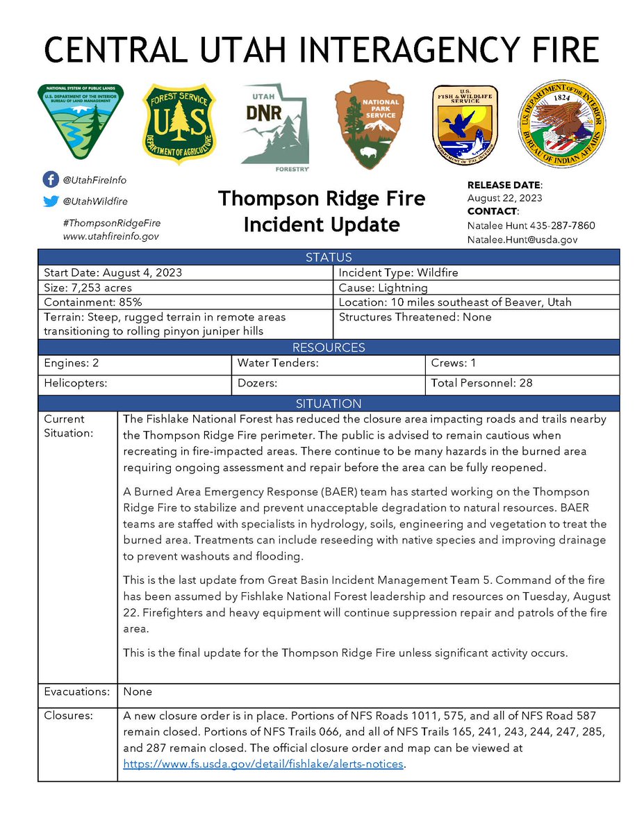
#ThompsonRidgeFire Final Update Aug. 22, 2023
7,253 acres and 85% contained.
The Fishlake National Forest has reduced the closure area impacting roads & trails nearby the fire. The public is advised to remain cautious when recreating in fire-impacted areas.
@FishlakeNF
#MooreFire located 4-miles east of Levan, UT. The 1-acre lightning caused fire is in steep/rugged terrain and in a remote area on the Sanpitch Mountains. #usfsMLF plans to monitor fire behavior, identify trigger points, and determine potential actions. https://t.co/c3dxAVqia3
#ThompsonRidgeFire Update Aug. 21, 2023
7,253 acres and 85% contained.
A reduced closure order will go into effect on Tuesday, August 22 and will be online at https://t.co/nwqkSEH6u8.
@FishlakeNF
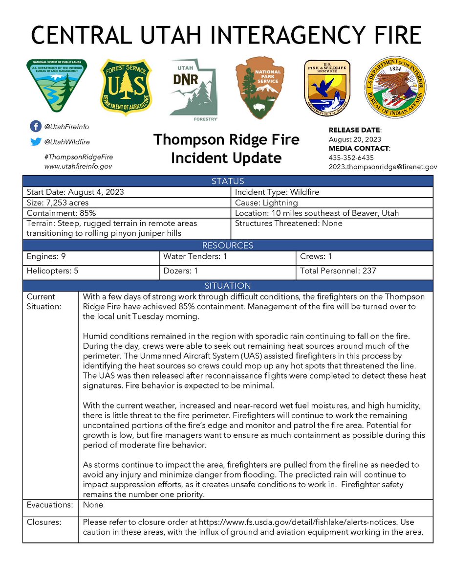
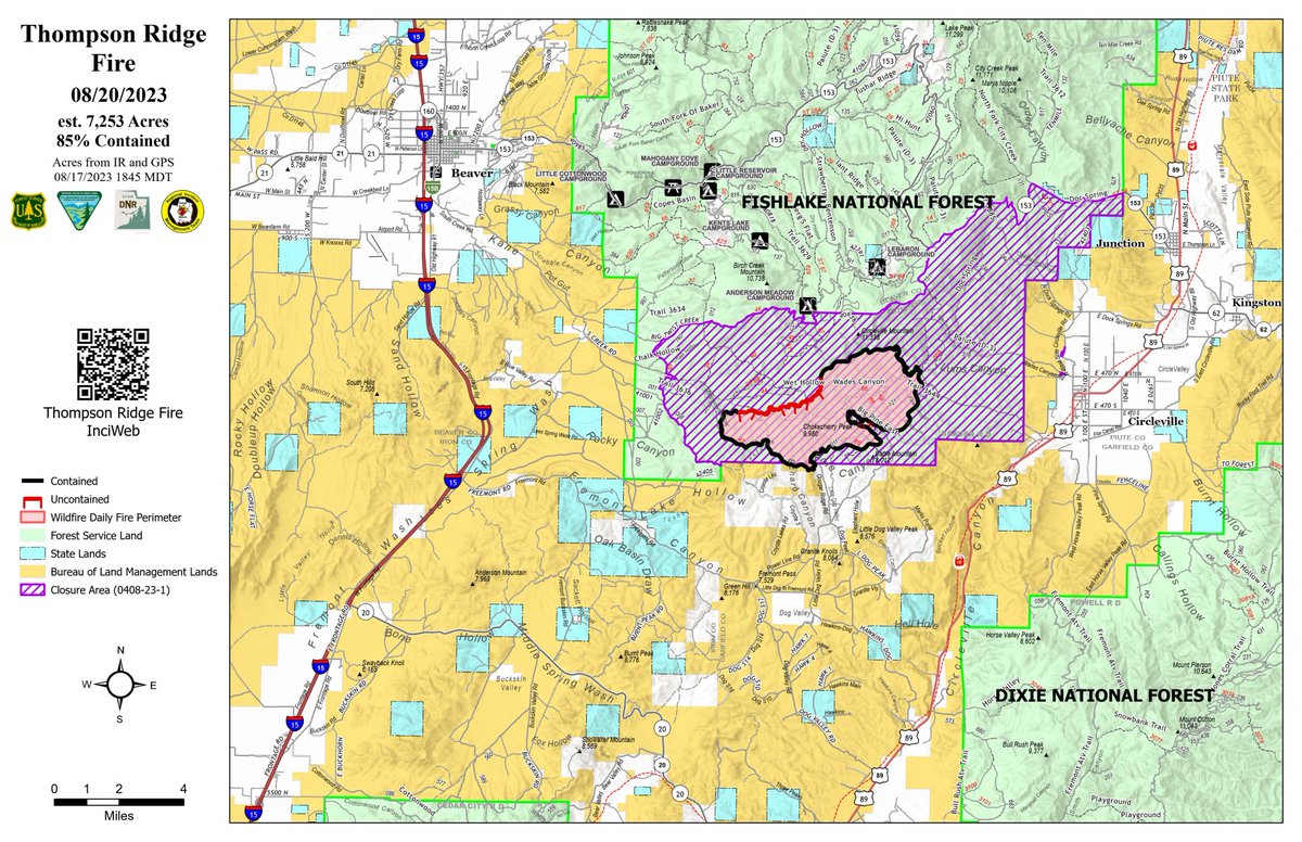
#ThompsonRidgeFire Update Aug. 20, 2023
7,253 acres and 85% contained. With a few days of strong work through difficult conditions, the firefighters have achieved 85% containment. Management of the fire will be turned over to the local unit Tuesday morning.
@FishlakeNF
#ThompsonRidgeFire Update Aug. 19, 2023
7,253 acres & 60% contained. With the current weather, increased fuel moisture, & high humidity, there is little threat to the fire perimeter. Firefighters continue to work the remaining uncontained portions of the fire’s edge.
@FishlakeNF
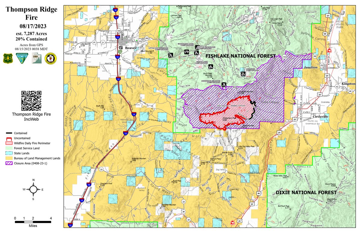
#ThompsonRidgeFire Update Aug. 17, 2023
7,287 acres and 20% contained.
Minimal amounts of rain fell over much of the fire the last few days. The Unmanned Aircraft System (UAS) was used yesterday to identify heat signatures across the NE portion of the fire.
@FishlakeNF