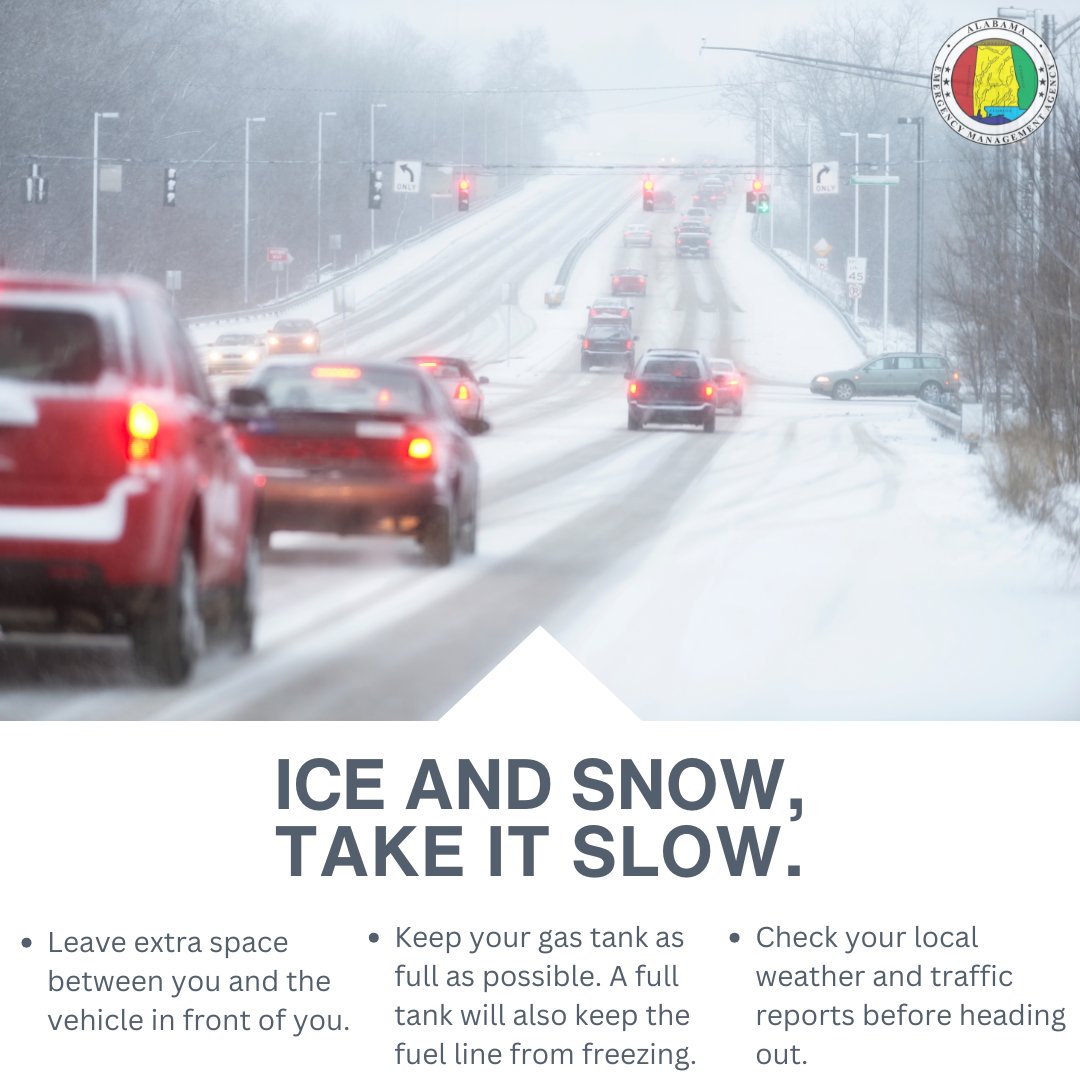
ICE & SNOW, TAKE IT SLOW.
- Leave extra space between you and the vehicle in front of you.
- Keep your gas tank as full as possible, or a full charge. A full take will also keep the fuel line from freezing.
- Check your local weather and traffic reports before heading out.
IMPACT FORECAST FOR THE WEEKEND: Here is the impact forecast for Alabama concerning the weekend storm system. Understand this is a complex setup where slight temperature variations can bring major changes in impact. A winter storm watch is in effect for the northern third of Alabama for the weekend. The winter storm watch does NOT include Tuscaloosa, Birmingham, Anniston, or points south.
BOTTOM LINE: For most of Alabama this will be simply a big rain event; greatest risk of ice accumulation from freezing rain will be over the northwest and northeast corners of the state. But, black ice could be an issue for the entire northern half of the state Sunday night and Monday as temperatures fall rapidly into the teens after the rain. Odds of any accumulating snow over the Tennessee Valley are very low, but a few flakes are possible Sunday afternoon.
Ice accumulation for Northeast and Northwest Alabama should be .10” or less; isolated power outages are very possible, but for now we aren’t expecting widespread outages.
Here is a breakdown of impact for different regions:
SOUTHERN 1/2 OF ALABAMA: Occasional rain over the weekend, maybe even a strong thunderstorm in spots. Rain amounts 1-2 inches. But some patchy black ice is possible early Monday morning.
BIRMINGHAM/TUSCALOOSA: Mostly rain; amounts of 2-3 inches are likely. There is a chance the rain could change to freezing rain or light snow before ending Sunday afternoon/evening as temperatures drop rapidly after reaching the 55-60 degree range early Sunday morning. The primary concern for the western half of the I-20 corridor in Alabama is Sunday night and Monday. Temperatures will drop into the teens, and a flash freeze/black ice situation will possibly bring hazardous driving conditions.
HAMILTON/RUSSELLVILLE/FLORENCE: There is a good chance freezing rain will move into the northwest part of the state late Saturday morning, which could result in some ice accumulation. Temperatures will likely be in the 29-32 degree range at the onset of the precipitation.
As the warm sector of the moves northward, temperatures will likely edge above freezing across Northwest Alabama by mid to late afternoon. And it looks like this part of the state will see mainly a cold rain Saturday night with temperatures rising into the mid to upper 30s during the night. This should ease icing conditions.
Then, on Sunday, temperatures will drop quickly and a another period of freezing rain is likely for a few hours. This could lead to more ice accumulation Sunday afternoon. A few snow flakes are possible as well. Black ice is likely on roads Sunday night into Monday morning.
CULLMAN/DECATUR/ATHENS/HUNTSVILLE: While some freezing rain/icing is possible Saturday afternoon with patchy ice accumulation, it looks like temperatures will be generally above freezing with just a cold rain Saturday evening through early Sunday morning. Then, with a rapid temperature drop Sunday, a period of freezing rain or light snow is very possible before it all ends. This could lead to hazardous driving conditions Sunday afternoon through Monday morning.
SCOTTSBORO/FORT PAYNE/GADSDEN/ANNISTON: A wedge of colder air (CAD, or cold air damming) will likely move into the northeast part of Alabama over the weekend from the east, and some freezing rain is possible late in the day or Saturday night. After a brief warm-up with just a cold rain Sunday morning, temperatures drop like a rock and more freezing rain is possible by midday Sunday before it ends. Icy travel is possible Sunday afternoon through Monday morning due to any freezing rain accumulation and the potential for black ice/flash freeze.
*Temperatures Sunday will fall from the 50s and 60s at daybreak into the 20s and 30s by afternoon. The northern half of the state should be below freezing by 2-3 p.m. Sunday. Icy travel is possible over the northern half of the state late Sunday, Sunday night, and into the day Monday.
TUESDAY NIGHT NOTES: Here are some key messages on the potential winter storm for North Alabama this weekend...
*It is still too early for an impact forecast for any specific point. We will feel comfortable doing that Thursday as we get within 60 hours of the event and we get a peek at high resolution models.
*I have many questions about travel this weekend. Understand I possess no knowledge or skill about future road conditions, and can't give specific advice. It depends on your risk tolerance, and your ability to drive on wet/icy roads. I do my best to give you the information you need to make a good decision.
*Attached graphics are from the National Blend of Models, the NBM. Basically an ensemble approach, which is the best way of looking at snow and ice potential this weekend.
*Freezing rain and snow will likely move into North Alabama early Saturday morning, and continue through the day into Saturday night.
*Best chance of getting really good snow accumulation (3" or more) is over the Tennessee Valley of North Alabama, especially north of the Tennessee River. Much of Tennessee will likely see 4-8 inches of snow this weekend.
*Freezing rain is likely south of the Tennessee River. This is precipitation in liquid form that falls when surface temperatures are 32 degrees or lower. A long duration period of freezing rain can coat exposed objects and surfaces (like roads and trees) with ice.
*Defining the southern border of the freezing rain is the most difficult part of any winter weather forecast. And, it will move back and forth during the event. Generally speaking, the highest chance of meaningful ice accumulation will be along and north of I-20, but some icing is possible in spots south of I-20 as well.
*If low level thermal values are warmer than forecast, Tuscaloosa, Birmingham, and Anniston could get away with just a cold rain for much of the event. That is just a possibility at this time; these cities sit on the I-20 boundary that separates rain from freezing rain and icing.
*Confidence is very high in ice/snow issues along and north of U.S. 278 (Hamilton to Cullman to Gadsden).
*South Alabama will see just a cold rain this weekend.
*We note the reliable European global model continues to show a warm nose of air in the low levels during the day Sunday; this could get North/Central Alabama above freezing for a period of time, which might ease the icing conditions. But there is a good chance the rain Sunday will change back to freezing rain or snow before ending Sunday night.
*Icy/hazardous travel could linger across North Alabama into Monday morning, although the precipitation will end Sunday night.
*This winter storm will bring snow and ice to a large part of the southern U.S... from Texas to the Carolinas.
I will have a new video briefing early tomorrow morning... stay tuned!
#Influenza and #COVID19 vaccines prevent hospitalizations and deaths.
That’s why WHO recommends seasonal influenza and COVID-19 vaccination for people at risk of severe disease.
WEEKEND WINTER STORM: Global models remain very consistent in advertising the potential for a high impact winter storm for the northern half of Alabama this weekend. Here are the key messages...
*Best chance of snow with this event will be across the Tennessee Valley, especially north of the Tennessee River. It is possible some communities there could see snow totals in the 2-4" inch range. Maybe more in spots.
*South of the Tennessee River an extended period of freezing rain seems likely due to the cold air being very shallow. This is precipitation that falls in liquid form when temperatures are at or below freezing. This leads to ice accumulation on exposed surfaces, and can bring potential for power outages and very difficult travel conditions. Global models continue to suggest potential for some very significant ice accumulation.
*One positive is that temperatures will be in the 50s tomorrow through Friday, so the infrastructure won't be especially cold at the onset of the event.
*Defining the southern extent of the ice threat is always the hardest part of a forecast like this, and the line between a cold, rainy day and major icing can move back and forth during the event. At the moment is look like some ice accumulation will be possible as far south as Livingston, Greensboro, Clanton, Lake Martin, and Opelika. Understand this is very much subject to change.
*The risk snow/ice will begin as early as midnight Friday night over Northwest Alabama; the precipitation will spread to the east and south Saturday and Saturday night. It could very linger well into the day Sunday before ending Sunday night.
*South Alabama will see just a cold rain from this event.
*This winter storm will impact a wide area, from Texas to the Carolinas.
*We will much more specific about accumulation potential tomorrow, and have a very detailed impact forecast by Thursday. But if you live anywhere over the northern half of Alabama consider planning for difficult travel and power outages. It is a course of least regret.
Best case is that you wind up with a cold rain, worst case is a crippling ice storm that can lead to power outages for days, if not weeks in some isolated cases. Where mostly snow falls over the Tennessee Valley, power outages will be only isolated.
5:20a 1/20: Probabilities continue to increase for winter storm impacts this weekend across Central Alabama.
The forecast is continuing to evolve and take shape, so keep a close eye out for updates as the week progresses. #alwx
Prolonged screen or reading times can lead to eye strain, dry eyes, and headaches.
DO take breaks!
Follow the 20-20-20 rule to help your eyes:
🖥 After using a screen for 20 minutes
📏Look at an object 20 feet away
🕓For at least 20 seconds
#Measles can lead to severe, long-term complications and can even cause your immune system to forget how to resist infections.
🔸Brain damage
🔸Severe diarrhoea and dehydration
🔸Deafness
🔸Blindness
🔸Pneumonia
Two doses of the measles vaccine are the only way to prevent measles.
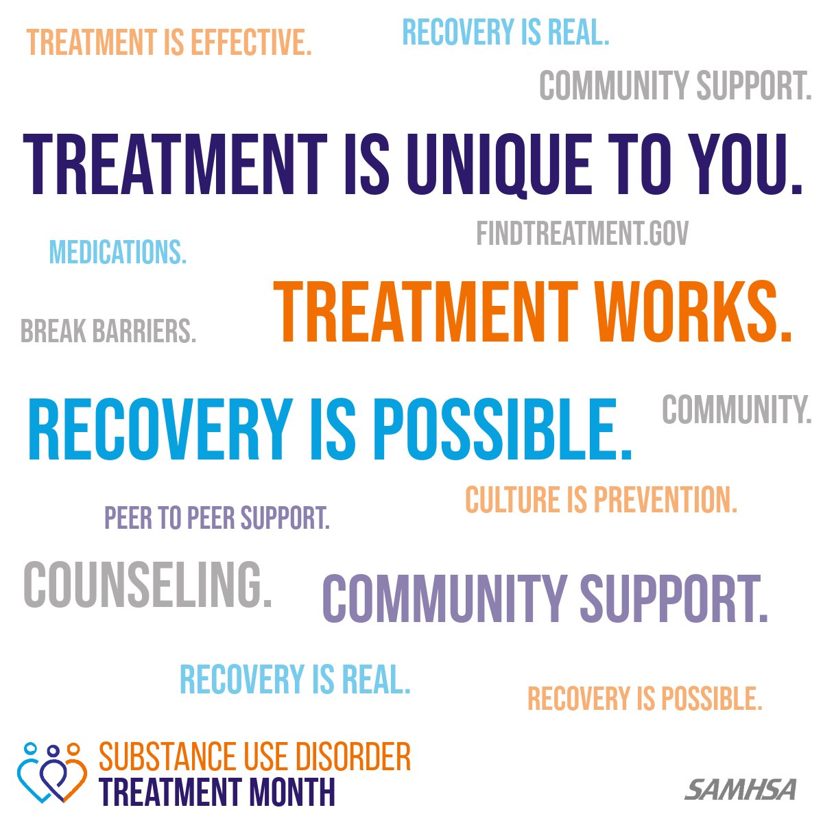
Recovery is not one-size-fits-all, and it shouldn’t be.
If you or someone you love is seeking help, confidential treatment options are available. Download the #ConnectAlabama app for resources and treatment near you.
#TreatmentMonth#FindYourPath@samhsagov
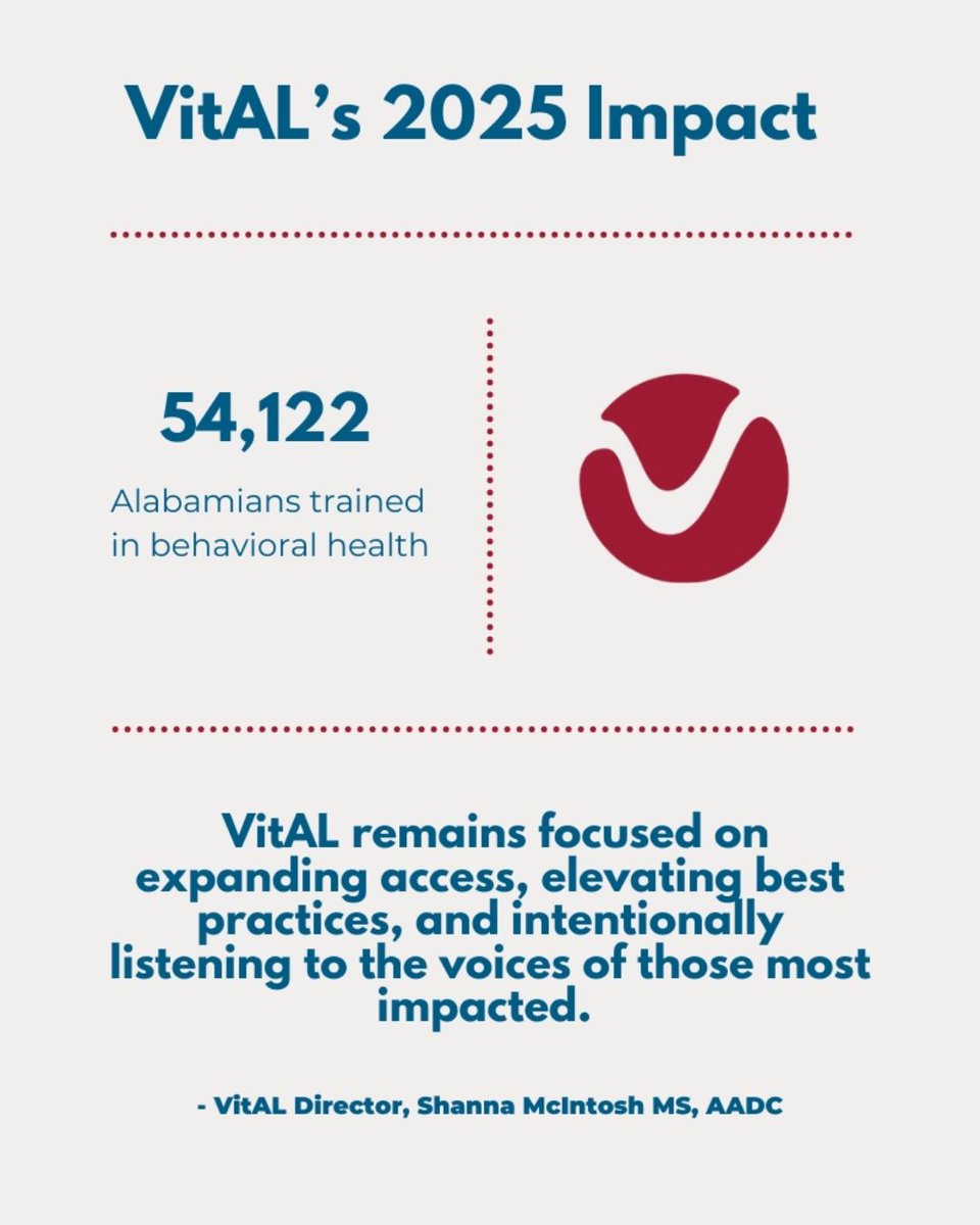
In 2025, VitAL continued its mission to strengthen behavioral health systems and improve outcomes for communities across Alabama.
Thank you to our partners, providers, and communities for being part of this work.
View our full 2025 Impact report at https://t.co/Bk9cY7AZjl
Are you getting quality carbohydrates?
Carbohydrates should come primarily from
🌾 whole grains
🥕 vegetables
🍌 fruits
🫘 pulses
These are great sources of dietary fibre and nutrients https://t.co/vCZlOtUeLj
#HealthyDiets
Most people recover from fever and other #flu symptoms within a week without needing medical attention. However, the flu can cause severe illness or death, especially in people at high risk:
🤰Pregnant women
👶Children aged 6 months to 5 years
👴Adults aged 65 years and older
😩Individuals with chronic medical conditions
👩⚕️ Health-care workers
If your flu is not getting better, see your health provider as soon as you can. #KeepFluAway
Step up for your health by taking the stairs--one flight at a time! Choosing the stairs is a simple way to get your heart pumping and add movement to your day. Here are more ways to add physical activity to your daily routine: https://t.co/qKjmHoJB5n #ActivePeople #TakeTheStairsChallenge
Regional Medical Center has shared several exciting updates over the past few months, but nothing is more important than providing quality care to the communities we serve.
Meet Tom Hutchinson as he details his complete experience at RMC!
🔗https://t.co/otqdk24C9E