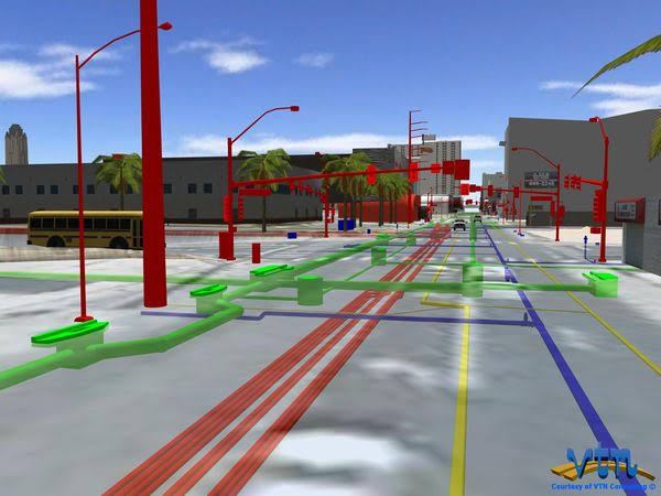
Could we see floods 🌊 evolve on streets in immersive 3D before damage happens?
📰Our new paper published in CEUS led by Dr. @rohan_debayan introduces a 4D geospatial flood digital twin to address this challenge: https://t.co/j9dhRhkAye
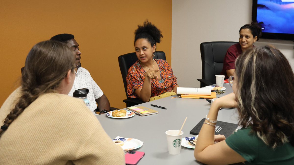
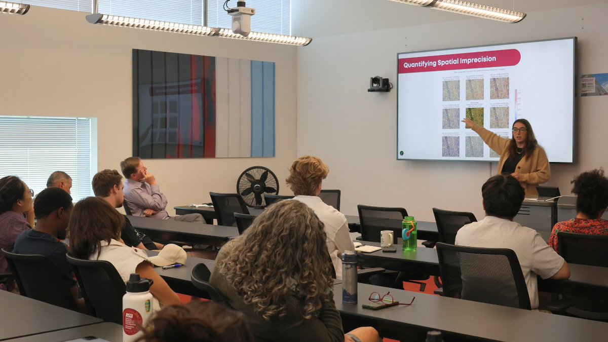
Our first Colloquium lecture of the semester was electric! ⚡
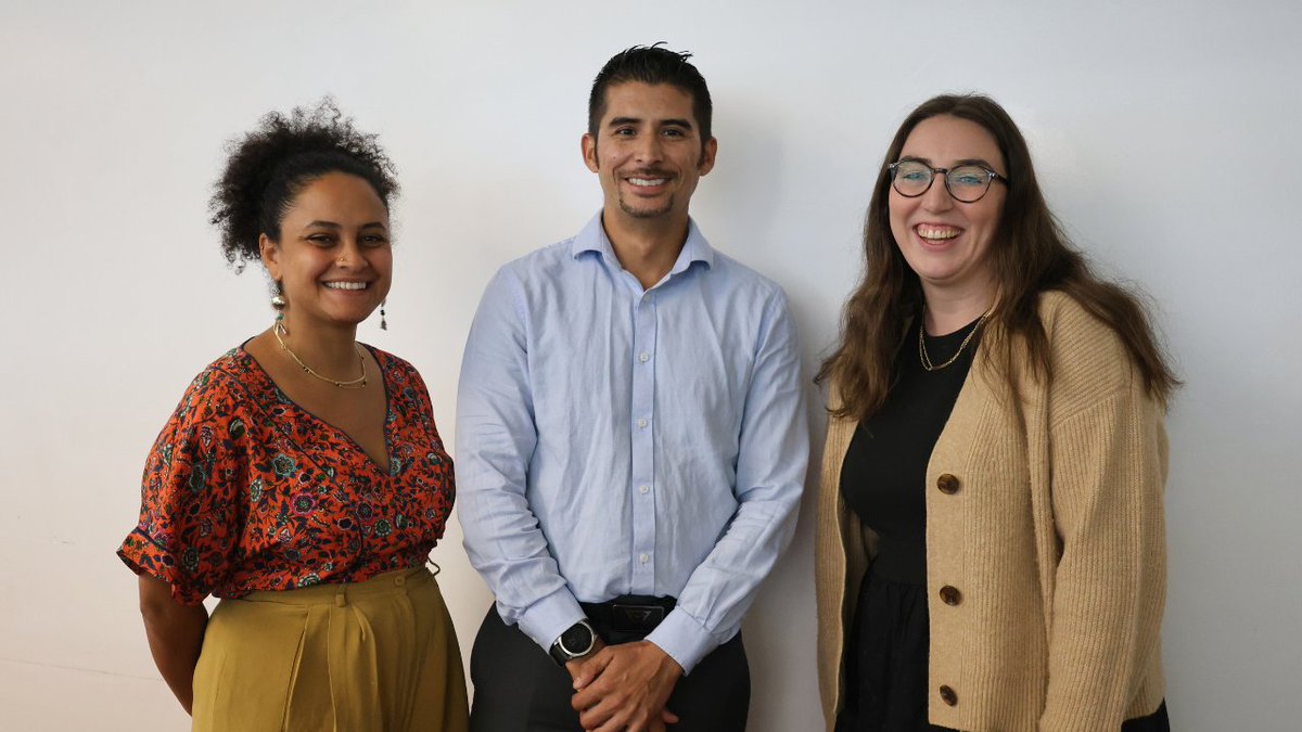
From mapping energy transitions, strengthening resilience in 4D, to satellite imagery prediction — we covered it all. A big thank you to our faculty guest speakers Debayan Mandal, Salma Elmallah, Heather Baier and to all attendees!
Stay tuned for our next Colloquium happening on Friday, Oct. 10 with #SGSUP Instructor Kaelin Groom.
More details here: https://t.co/KoYwFMUKtC
More details here:
Assistant Teaching Professor Debayan Mandel recently attended and presented at the International Cartographic Conference (ICC) in Vancouver.
His presentation, "Advancing Urban Flood Preparedness with 4D Geospatial Digital Twins" highlighted how digital twin technology can strengthen disaster resilience and urban planning.
ICC was a great networking opportunity that brought together delegates from across the globe, offering new perspectives on cartographic innovation in diverse cultural and institutional contexts.
#Cartography #ASU #Networking
Join us for the #SGSUP Colloquium Faculty Lightning Talks!⚡
#ASU faculty and graduate students are invited to attend as three SGSUP faculty deliver electrifying, fast-paced presentations.
📅Friday, Sept. 12
⏰11:00 AM – 12:30 PM
📍COOR 5536
🔱Debayan Mandal - "Strengthening Resilience in 4D: Geospatial Digital Twins for Navigating Urban Flood Dynamics"
🔱Salma Elmallah - "Knowing, Mapping and Doing Energy Transitions: A Research Overview and a Look Ahead"
🔱Heather Baier - "Spatially Adaptive Networks: Deep Learning for Socioeconomic Prediction from Satellite Imagery"
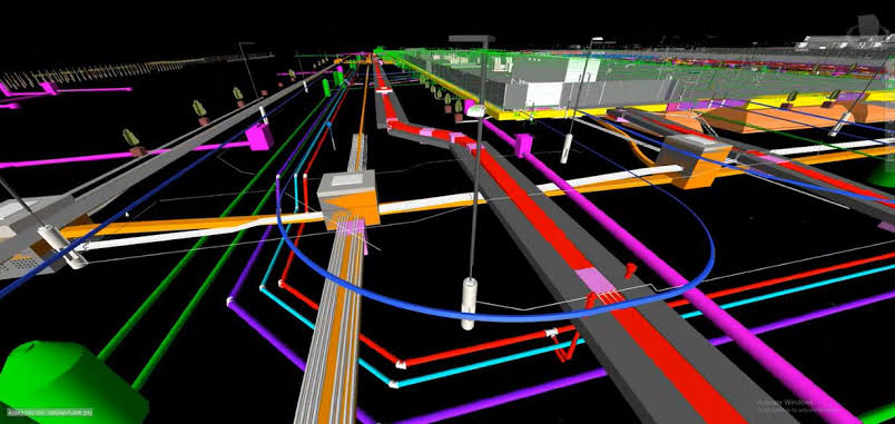
🏗️ GIS-BIM Integration: Managing Infrastructure Beyond Handover
In many infrastructure projects, design and construction get all the attention — but what happens after commissioning often determines the true value and resilience of that asset.
This is where GIS-BIM integration becomes a game-changer: it brings spatial intelligence into the entire lifecycle of a building or infrastructure asset — from operations and maintenance to long-term planning and upgrades.
Imagine this:
🔹 You’re managing a public hospital. With GIS-BIM, you can spatially locate every MEP system, oxygen line, and access route. Maintenance doesn’t just follow schedules — it follows spatial logic.
🔹 In a university, you track underground cables, fire systems, or CCTV coverage in real-world coordinates, layered with surrounding land use, future development plans, or risk zones.
🔹 For county governments, you can monitor building stock — schools, dispensaries, admin blocks — not just in isolation, but how they relate to terrain, flood zones, road networks, or land tenure.
Instead of flipping through PDFs or CAD drawings, facility managers and planners can interact with a spatially intelligent model — seeing what’s where, what’s failing, and how surrounding conditions are changing.
This goes beyond reactive maintenance.
With GIS-BIM:
- Work orders are tied to specific locations and systems
- Emergency response becomes spatially guided
- Infrastructure upgrades align with regional development plans
- Asset depreciation and lifecycle costs are tracked with geographic awareness
- Cities and counties can begin to build true infrastructure digital twins
Why it matters:
We’re moving from managing assets in silos to managing spatially-aware infrastructure ecosystems. GIS-BIM bridges not just systems, but disciplines — planning, engineering, facilities, and policy — all working from the same geospatial canvas.
This is what smart infrastructure actually looks like — connected, contextual, and coordinated.
👷♂️ At @OrionGeospatial, we work with public and private clients to bring GIS-BIM integration into real-world infrastructure and facility operations. From spatial asset mapping to lifecycle planning tools, we help you build, operate, and maintain smarter.
📩 Let’s talk if you're rethinking how infrastructure should work — not just at design, but for decades after handover.
#GISBIM #InfrastructureManagement #SmartFacilities #AssetLifecycle #GeospatialIntegration #DigitalTwins
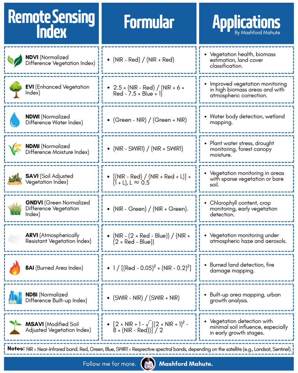
Whether you're a #GIS analyst, remote sensing professional, #environmental scientist, or a student entering the field, mastering these #indices will supercharge your #geospatial analysis and expand your capacity to interpret the world from above.
#QGIS#ArcGIS#GEE#NDVI
Congrats to my PhD student @rohan_debayan at @tamugeography for joining @ASU_SGSUP as an Assistant Teaching Professor in Spring 25! His work develops advanced digital twin models and CyberGIS solutions to enhance disaster resilience! Proud of you! Wishing you continued success 🌍
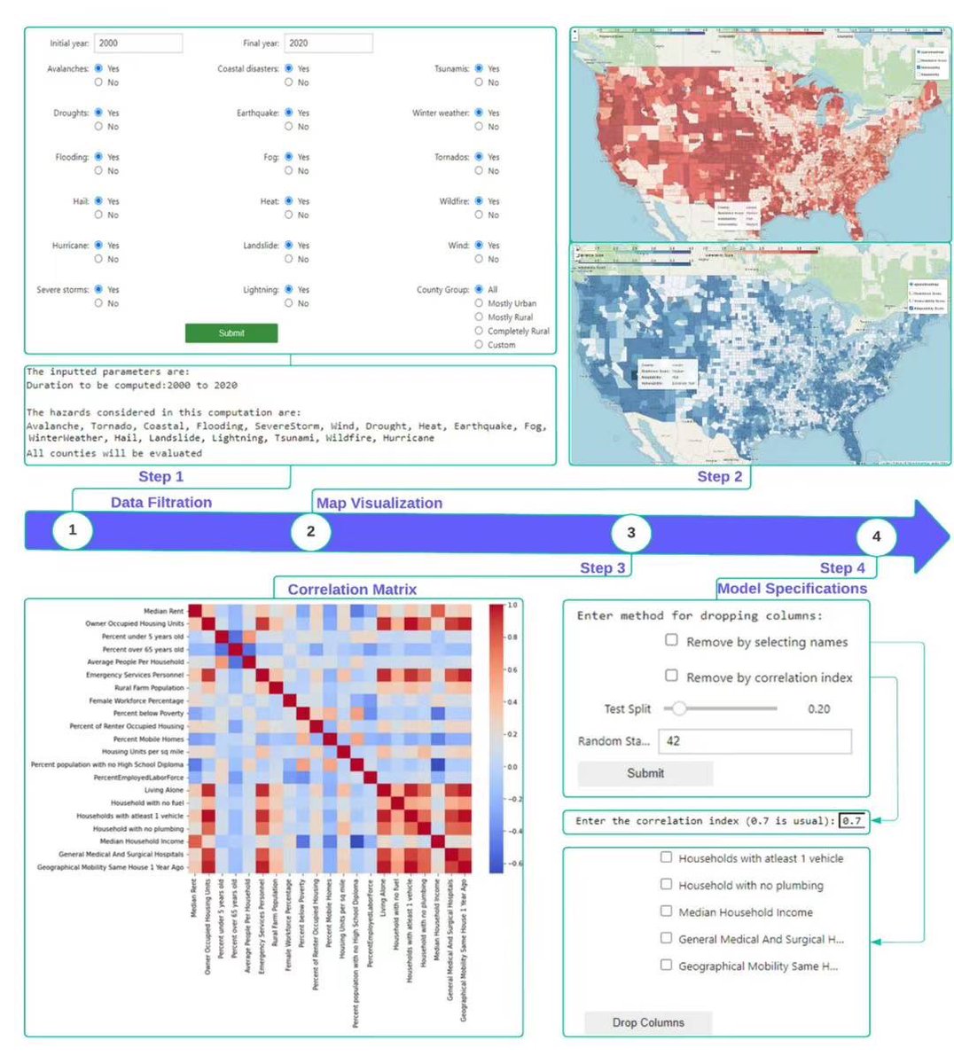
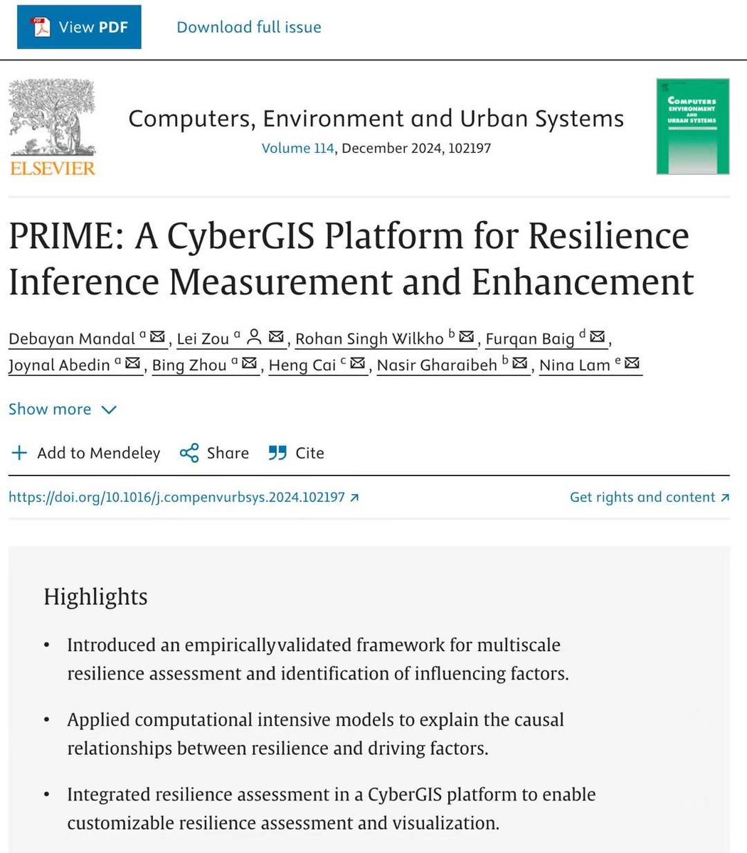
Congrats to my PhD student @rohan_debayan for leading the publication of “PRIME: A CyberGIS Platform for Disaster Resilience Assessment and Enhancement” in Computers, Environment and Urban Systems🎉 Let’s keep thinking spatially for a resilient future 🌎 https://t.co/lEOcjtccBd
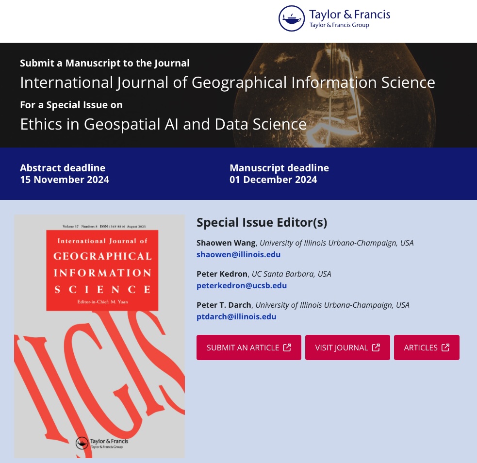
A range of ethical and governance issues arise when applying #geospatial#AI and #DataScience in research, policy-making, and other contexts. We invite you to submit your work to the @ijgis Special Issue on Ethics in Geospatial AI and Data Science: https://t.co/RzLNWcoley.
Thank you @NSFiGUIDE for choosing our team for the Rising Geospatial Data Scientist Award! Big congrats to my PhD student @rohan_debayan for leading the research on CyberGIS for disaster resilience!
Hope our efforts will help vulnerble communities build a sustainable future 🌎
Congratulations to my PhD student @rohan_debayan for publishing his recent work in @cartographyGIS. Our research quantifies the algorithmic uncertainty in geolocating social media data with different methods at multiple scales for disaster research🌎. Any feedback is appreciated!
Congratulations to @gissong, @Yingjie_Hu, and @WenwenLi_ on publishing the Handbook of GeoAI! It's an honor for our team to have contributed a chapter on GeoAI for Disaster Response https://t.co/3xslaX3PCI. I look forward to diving into the book and incorporating it into classes!
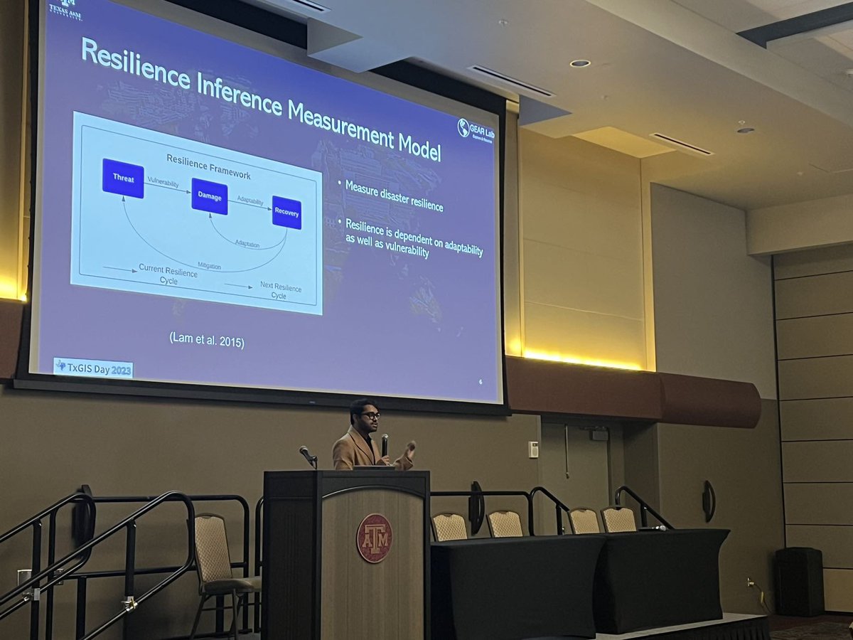
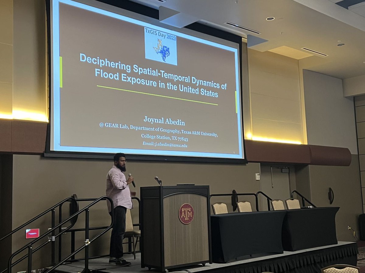
Happy #GISDay Thrilled to share that my PhD students @JoynalAbedin_du & @Debayan76770564 won 1st and 2nd places at the 2023 Texas GIS Day Graduate Competition! This follows the achievement of my PhD student @binbinlin_GISer who won 1st place in 2022 Competition. Congratulations!
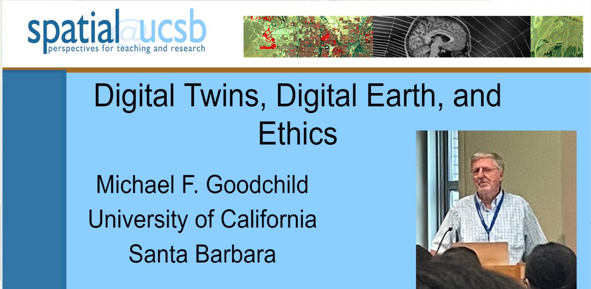
Dr. Michael Goodchild of @ucsantabarbara@UCSBgeog presents on Digital Twins at the @NSFiGUIDE Summer School 2023. Highlighting the importance of perfecting digital twins for geographic research.