This cold front ain't foolin around. Strong winds possible in any T'storms overnight. The rain will then change to a brief period of heavier snow squalls tomorrow. Not all areas will see heavy snow, but those that do can see a quick dusting to 2 inches of snow on grassy areas.
Looks like we've got one more week of winter left before spring arrives. By this time next weekend we could start seeing temps in the 60's and 70's. (Except for those along the immediate shorelines where it will probably be 10-20 degrees cooler due to the cold ocean)
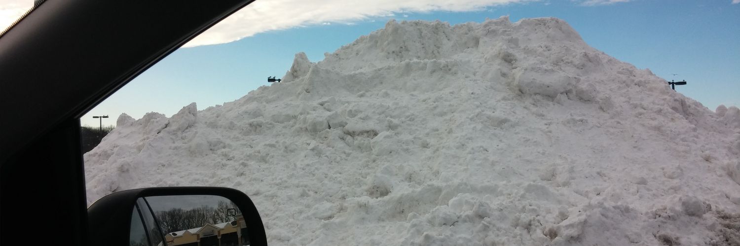
I will say with the strong winds coming it will be super hard to get an accurate snow measurement. Could have an inch of snow on one part of the lawn and 6 ft snow drifts on the other. hahaha
No major changes to my forecast. A solid 1-2 FEET expected region wide. However, someone in Monmouth County, Ocean County, SE Burlington County in NJ, Nassau and Suffolk Counties on Long Island COULD possibly see up to 30 inches if these more intense bands come ashore. Enjoy!!
1-2 FEET region wide expected. Those down in the DC Baltimore region can expect around 4-8 inches. Stay tuned for possible updates by tomorrow as some models are indicating even HIGHER SNOW TOTALS for coastal NJ and Long Island!! 3 feet possible???? Hahaha Wow!
Snowfall rates of 1-3 inches PER HOUR at times. Strong winds will create whiteout conditions as well so you do not want to be on the roads tomorrow night. Power outages are possible, as well as coastal flooding.
Drizzle moves in from south to north late morning/early afternoon before changing to moderate snow by late afternoon. Heavy snow then arrives after dark and continues ALL NIGHT LONG into early Monday morning......
The DC-Baltimore corridor is my only question mark. They may get screwed as the storm phases off the coast and pulls the best dynamics further east. I think you are still good for at least 6 inches down there but we'll see how the day progresses with updates.
Also, people have been asking me about temps and possible rain. THIS IS A NON FACTOR! Yes temps will be marginal initially and as the light precip moves in it may start out as drizzle. No big deal. This will QUICKLY change to heavy snow as the rates increase.
I'll have more updates out later today but I just want to stress the wind factor with this storm. Tropical storm force winds expected throughout the entire area, not just the shore. Here is the latest winds expected:
I'll have more updates out later today but I just want to stress the wind factor with this storm. Tropical storm force winds expected throughout the entire area, not just the shore. Here is the latest winds expected:
Will have another update out by tonight. However, I am leaning towards track #2! Major Nor'Easter looking likely with strong winds and heavy snow. Those along the Jersey coast should start preparing now. It will all come down to where this storm phases. Stay tuned.
Track #1: Offshore track which grazes us. 4 or more inches 'possible', especially for those SE of I-95. Track #2: MAJOR SNOWSTORM for all! 8 OR MORE INCHES LIKELY! Stay tuned.
Track #1: Offshore track which grazes us. 4 or more inches 'possible', especially for those SE of I-95. Track #2: MAJOR SNOWSTORM for all! 8 OR MORE INCHES LIKELY! Stay tuned.
I think we'll have one more shot at snow next Sunday/Monday, and then that 'might' be a wrap on winter. Assuming that is the case, then that storm will usher in the pattern change, and it could be a major storm. We shall see.
I think we'll have one more shot at snow next Sunday/Monday, and then that 'might' be a wrap on winter. Assuming that is the case, then that storm will usher in the pattern change, and it could be a major storm. We shall see.
Event is underway so I'm a little late to the party but this will be a light wet snow event. Dusting to 2 inches for most but those in central Jersey over to the NW burbs of Philly could see 2-3 inches.
Will have an update out later today. Snow looking more likely now for most. Looks too warm though for those in the DC- Baltimore corridor, most of Delaware and Cumberland, Cape May and Atlantic Counties in NJ. Mostly rain expected down there unfortunately. Stay tuned.