**Reporter for @watchdutyapp. Account no longer active** Fire incidents & updates for Riverside County, CA. This account is not an official government agency.
@BCWildfireWkly You’re welcome! I will admit, the reports on this fire have been some of the most lacking I have heard in recent times. No clear potential at first, no rate of spread. Confusion about structure threat as well. It’s a mess.
Initial report was 11 acres, FIRIS mapped the fire at 65 acres, then LA County tweeted 100 acres. I trust FIRIS as that’s IR mapping. Things change quickly.
How many acres is #AguaFire currently? Getting different numbers from various sources.
This is why following official & verifiable sources is important.
@Angeles_NF@FIRIS@LACoFDPIO cc: @CAL_FIRE
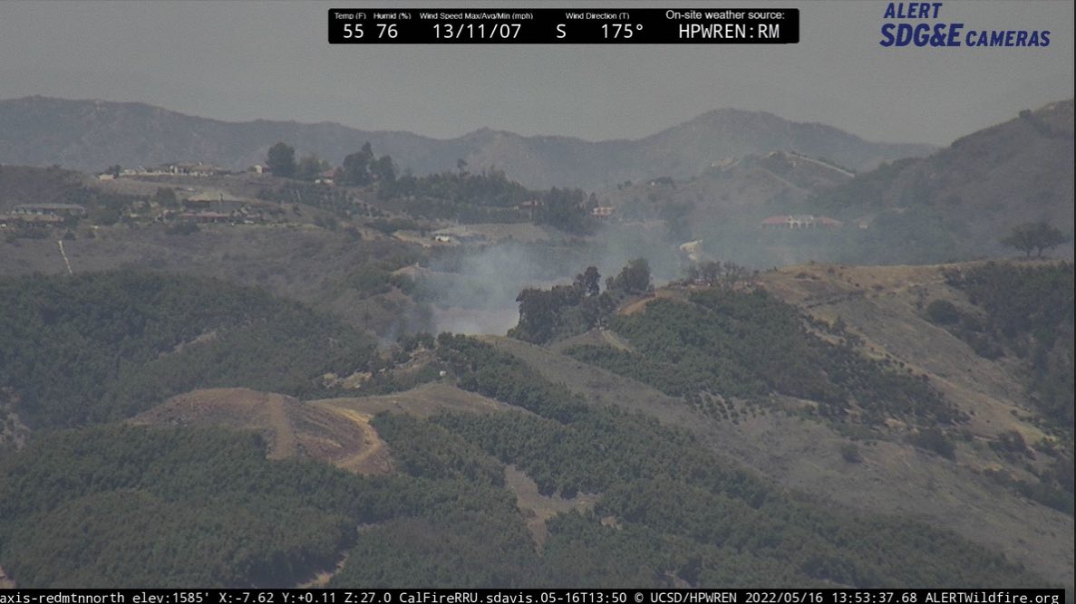
#BautistaFire Anza: Last heard 7-8 acres, Moderate ROS, burning near Highway 371. Main goal is to keep the fire from jumping 371, currently chewing through retardant lines, Air Attack requesting 2 additional closest Tankers.
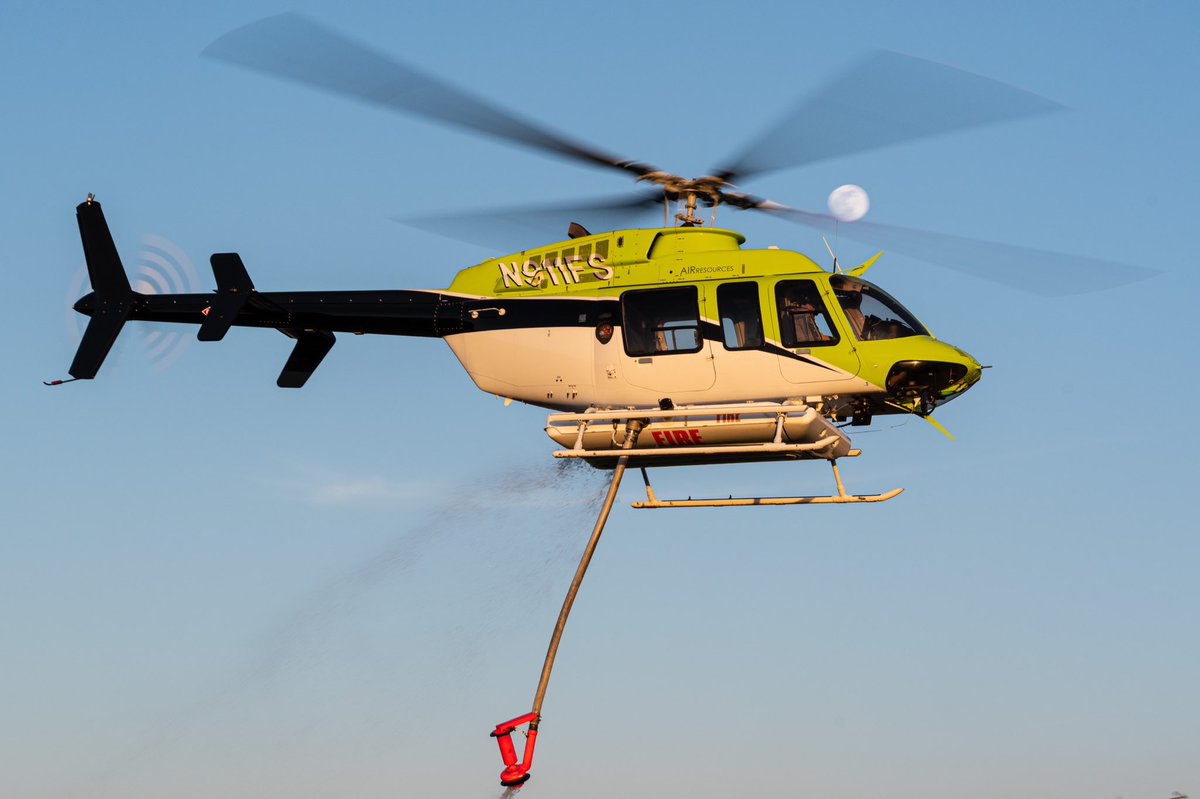
Just wanted to share some recent photos from the #LakeFire in Jurupa Valley on May 24th, 2021. Included is H534, H538, H301, and H535. Still have more shots to sort through but here’s some to start with!
#FlatsFire Mountain Center: Initial report 1 acre vegetation fire off of Highway 74 (64749 Pinyon Drive) Dangerous-Critical ROS with a west wind, potential for 1,000 acres. Full state & federal response started.
#FlatsFire Mountain Center: AA310 overhead reporting 2-3 acres with a good wind blowing, Moderate ROS with a potential for 500 acres. Additional aircraft being ordered.