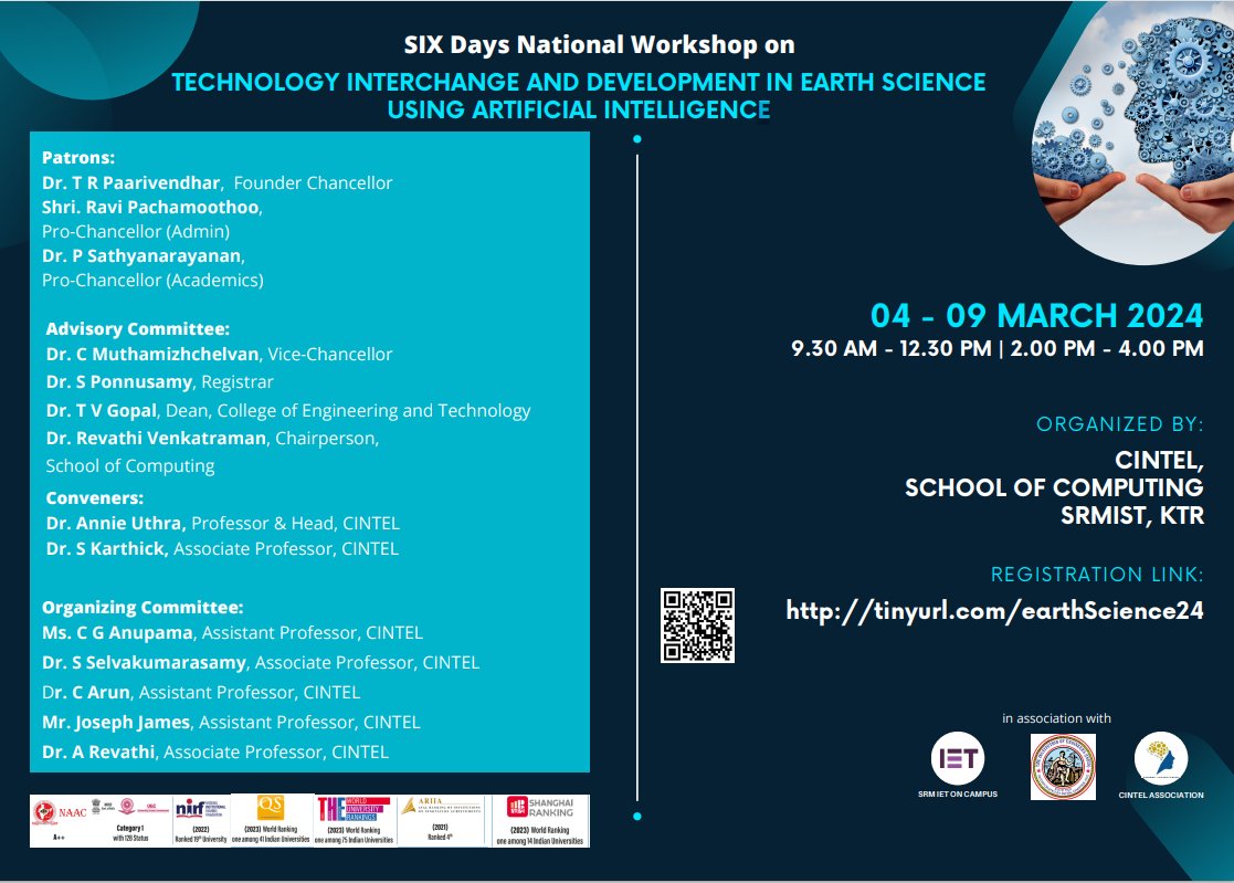
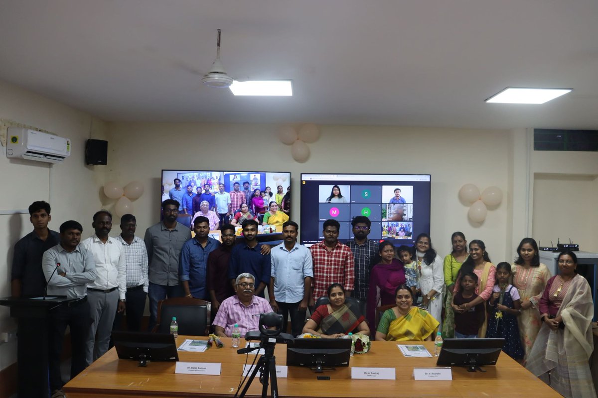
🌐 Had a fantastic time sharing insights at the SIX-day national workshop on "Technology Interchange and Development in Earth Sciences using Artificial Intelligence", organized by CINTEL, School of Computing, SRM IST, KTR! 🚀
SRM University SRMIST, Chennai ,Tamil Nadu , India
🌍 What is Land Cover Data & How to Download It?
Two widely used free global land cover datasets include:
1. ESRI Global Land Cover (10m)
2. ESA WorldCover (10m)
tutorial for downloading these datasets: https://t.co/5Odpy27FaC
🌱 A Memorable Alumni Meet 🌱
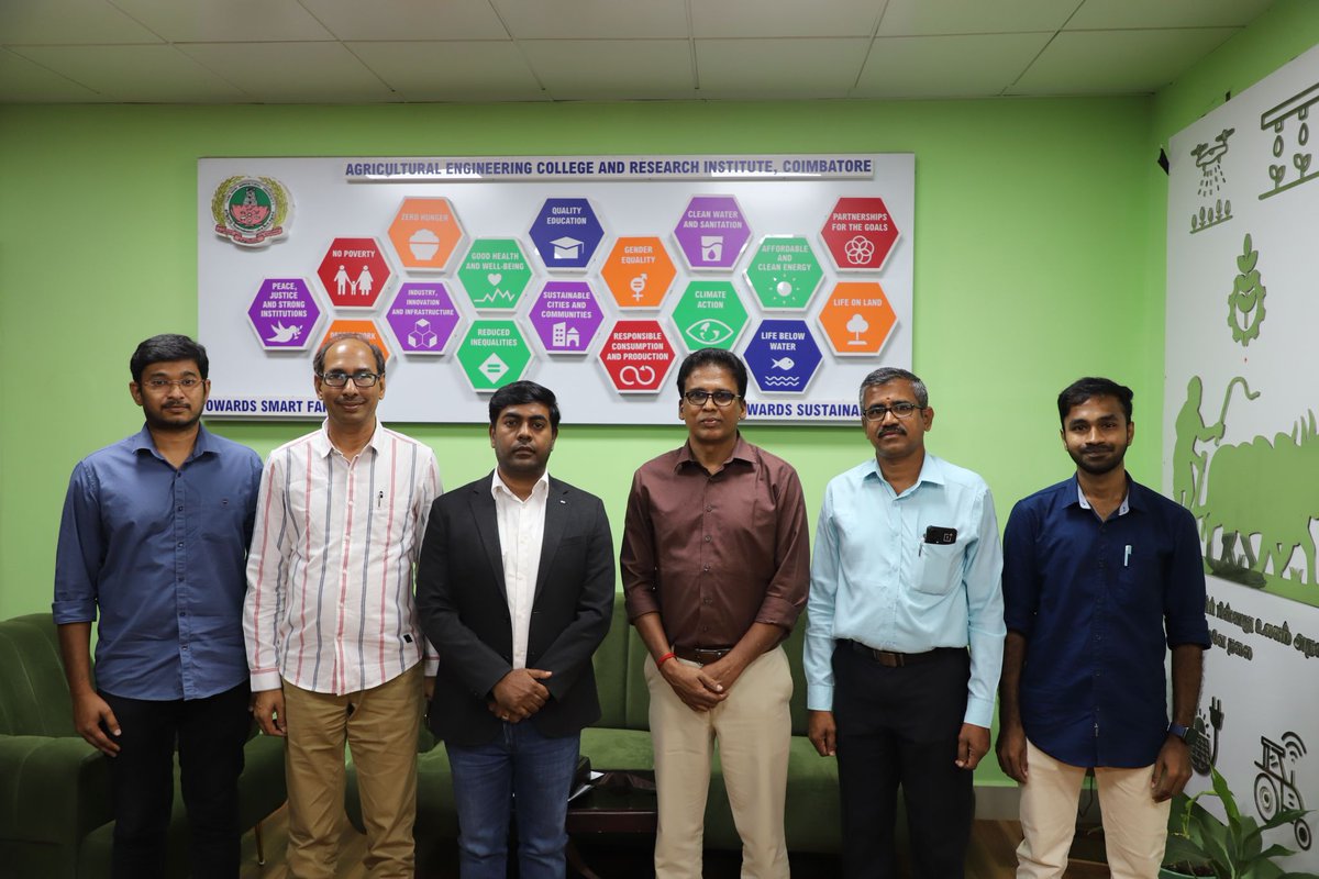
I recently attended the first Alumni Meet for the B. Tech. (#Agricultural#Information#Technology) program at AEC&RI, Coimbatore, held on 15th February 2025.
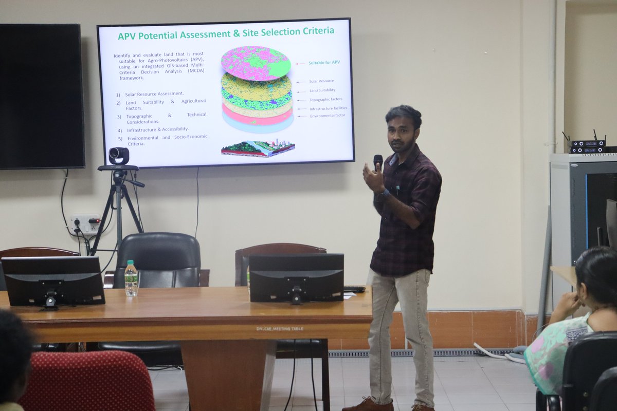
I had the wonderful opportunity to deliver a session on "#𝑨𝒈𝒓𝒊𝑷𝑽 𝑷𝒐𝒕𝒆��𝒕𝒊𝒂𝒍 𝑨𝒔𝒔𝒆𝒔𝒔𝒎𝒆𝒏𝒕 & 𝑺𝒊𝒕𝒆 𝑺𝒆𝒍𝒆𝒄𝒕𝒊𝒐𝒏 𝑪𝒐𝒏𝒔𝒊𝒅𝒆𝒓𝒂𝒕𝒊𝒐𝒏𝒔 𝒇𝒐𝒓 #𝑨𝑷𝑽" at AEC&RI, #TNAU.
Date: 17-04-2025
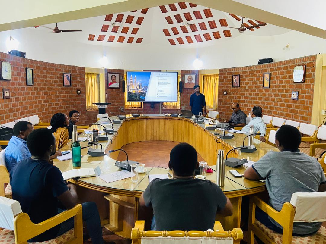
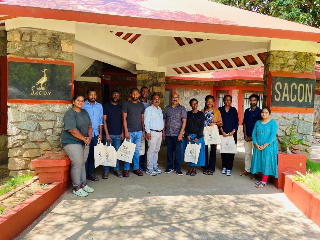
I had the opportunity to present a session on "Real-time Monitoring of #Wetlands using #GoogleEarthEngine" to an international group of participants at #SACON
Day 30 of the #30DayMapChallenge: The Final Map
𝗠𝗮𝗽: 𝗨𝗦 𝗡𝗶𝗴𝗵𝘁𝗹𝗶𝗴𝗵𝘁 𝗗𝗮𝘁𝗮 - 2023
For the final challenge, I chose to revisit nightlight data to create a stunning visualization of the United States.
Day 28 of the #30DayMapChallenge: The Blue Planet
𝗠𝗮𝗽: 𝗧𝗮𝗺𝗶𝗹 𝗡𝗮𝗱𝘂 𝗥𝗶𝘃𝗲𝗿𝘀
This map showcases the river systems of Tamil Nadu, highlighting the vital waterways that sustain the state's ecosystem and economy.
Day 27 of the #30DayMapChallenge: Micromapping
𝗠𝗮𝗽: 𝗠𝗮𝗶𝘇𝗲 𝗙𝗶𝗲𝗹𝗱 - 𝗛𝗲𝗮𝗹𝘁𝗵 𝗠𝗼𝗻𝗶𝘁𝗼𝗿𝗶𝗻𝗴 𝘂𝘀𝗶𝗻𝗴 𝗡𝗗𝗩𝗜
This map focuses on a precise area of a maize field, specifically a 0.5-acre plot cultivated by my friend Dr. Mugesh Raja for his research.
Day 26 of the #30DayMapChallenge: Map Projections
𝐌𝐚𝐩: 𝐈𝐧𝐝𝐢𝐚 𝐚𝐭 𝐖𝐆𝐒 1984 𝐀𝐝𝐚𝐦𝐬 𝐒𝐪𝐮𝐚𝐫𝐞 𝐈𝐈 (5408) 𝐏𝐫𝐨𝐣𝐞𝐜𝐭𝐢𝐨𝐧
This map features India displayed using the WGS 1984 Adams Square II (5408) projection.
Day 25 of the #30DayMapChallenge: Heat
𝗠𝗮𝗽: 𝗪𝗼𝗿𝗹𝗱 𝗦𝘂𝗿𝗳𝗮𝗰𝗲 𝗥𝗮𝗱𝗶𝗮𝘁𝗶𝘃𝗲 𝗧𝗲𝗺𝗽𝗲𝗿𝗮𝘁𝘂𝗿𝗲 (𝗢𝗰𝘁𝗼𝗯𝗲𝗿 2024)
This map showcases the surface radiative temperature across the world for October 2024.
Day 24 of the #30DayMapChallenge: Only Circular Shapes
𝗠𝗮𝗽: 𝗣𝗲𝗿𝗮𝗺𝗯𝗮𝗹𝘂𝗿 𝗧𝗼𝘄𝗻 𝗕𝘂𝗳𝗳𝗲𝗿𝘀
This map illustrates different kilometer buffers extending from Perambalur town to various locations within Perambalur district.
Day 23 of the #30DayMapChallenge: Memory
𝗠𝗮𝗽: 𝗝𝗼𝘂𝗿𝗻𝗲𝘆 𝘄𝗶𝘁𝗵 𝗙𝗿𝗶𝗲𝗻𝗱𝘀 – 2019
This map is a nostalgic recollection of the memorable places I visited in 2019 with my postgraduate friends. It features locations likeDawki River, Mawphlang Sacred Grove, Mawsmai.
Day 22 of the #30DayMapChallenge: 2 Colours
𝗠𝗮𝗽: 𝗣𝗲𝗿𝗮𝗺𝗯𝗮𝗹𝘂𝗿 𝗗𝗶𝘀𝘁𝗿𝗶𝗰𝘁 𝗙𝗼𝗿𝗲𝘀𝘁 𝗮𝗻𝗱 𝗨𝗿𝗯𝗮𝗻 𝗔𝗿𝗲𝗮𝘀
This map of Perambalur District uses a simple but effective two-colour scheme.
data: ESRI LULC 2023
Day 21 of the #30DayMapChallenge: Conflict
𝐌𝐚𝐩: 𝐇𝐮𝐦𝐚𝐧-𝐄𝐥𝐞𝐩𝐡𝐚𝐧𝐭 𝐂𝐨𝐧𝐟𝐥𝐢𝐜𝐭𝐬 (2020-2023) 𝐚𝐭 𝐍𝐚𝐠𝐚𝐫𝐡𝐨𝐥𝐞 𝐚𝐧𝐝 𝐁𝐚𝐧𝐝𝐢𝐩𝐮𝐫 𝐍𝐚𝐭𝐢𝐨𝐧𝐚𝐥 𝐏𝐚𝐫𝐤𝐬
This map highlights the locations and frequency of human-elephant conflicts.