Delivering quality data-from photogrammetry, to web-based information platforms & 3D visualization systems-we are geospatial solutions for customers worldwide.
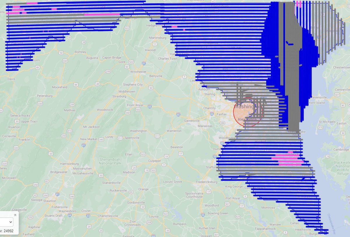
With all the tech coming out and new sensors "there is nothing we cannot map," says Jared Martin of @SanbornMap during a packed topo/bathy session. #geoweek
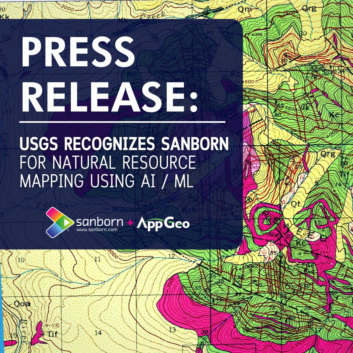
We've been recognized by @DARPA via the @USGS's Artificial Intelligence for Critical Mineral Assessment Competition! > https://t.co/R79cqAQRRC
#ai#ml#mining
We're heading to #Charlotte for the #NC Association of Assessing Officers' Annual Conference on November 15-17. Hope to see you there!
Learn more about our assessor and property tax solutions > https://t.co/evXkmkR8Te
@IAAOHQ@mapgeo#northcarolina
Attending the #California Assessors' Annual Conference? Our oblique imagery experts will be in Fairfield. Be sure to drop by our booth!
Learn more about our assessor and property tax solutions > https://t.co/evXkmkR8Te
@IAAOHQ#gis#geospatial
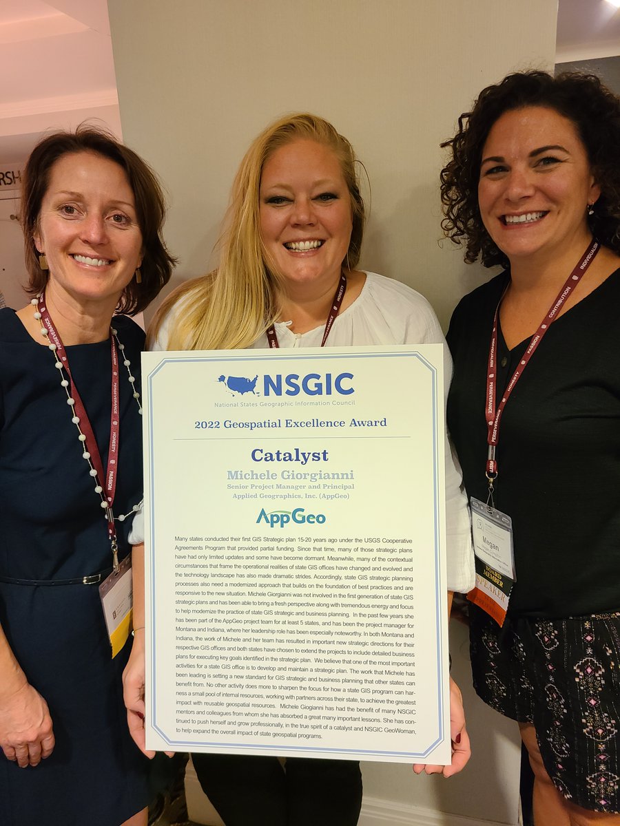
We’re thrilled to announce that we’ve partnered w/a team led by @AppGeo (a @SanbornMap company), including @jarlathond & @uvmvermont Spatial Analysis Lab; and @SavATree @MFGalvin. Together we will build data & tools to support strategic investment in @CityOfBoise 🌳 🌲 🌳…..
“The work that Michele has been leading is setting a new standard for GIS strategic and business planning that other states can benefit from.”...https://t.co/Pln8Iw9TNi #gis@nsgic
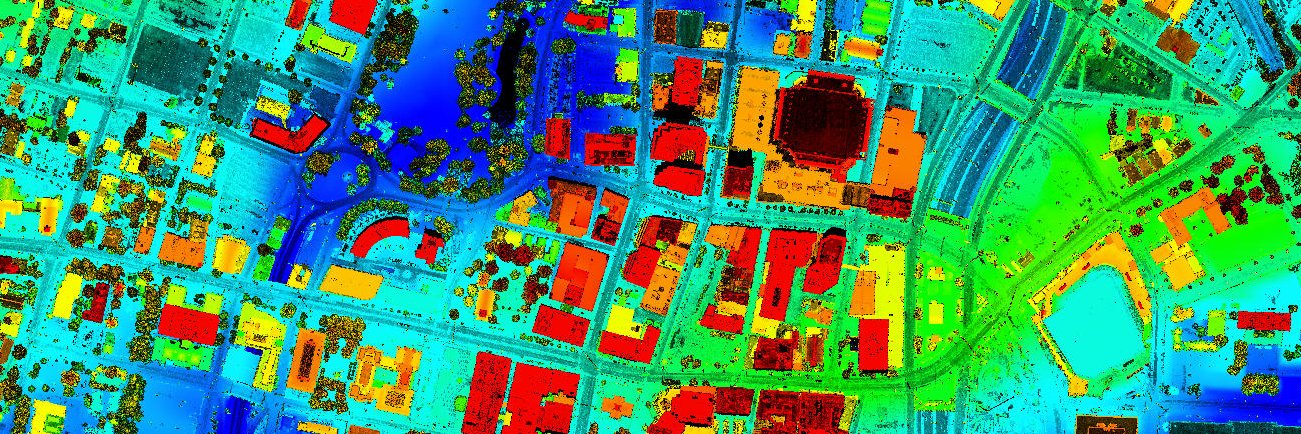
Members of the CWPA can join us for a free Lunch & Learn on 11/3, at 1PM. Join @SanbornMap as they present, “Harnessing the Power of Digital Data: Lessons Learned from Lidar-based Urban Tree Canopy Analysis”
Not a member yet? Join below: https://t.co/RihDCmBH3p
#ICYMI watch now the 🔴live recording of yesterday's extra spatial #Arkansas#GIS webinar on the 2023 Aerial Imagery Project featuring @ArkansasGIS and @SanbornMap https://t.co/XwgNQKkSJO