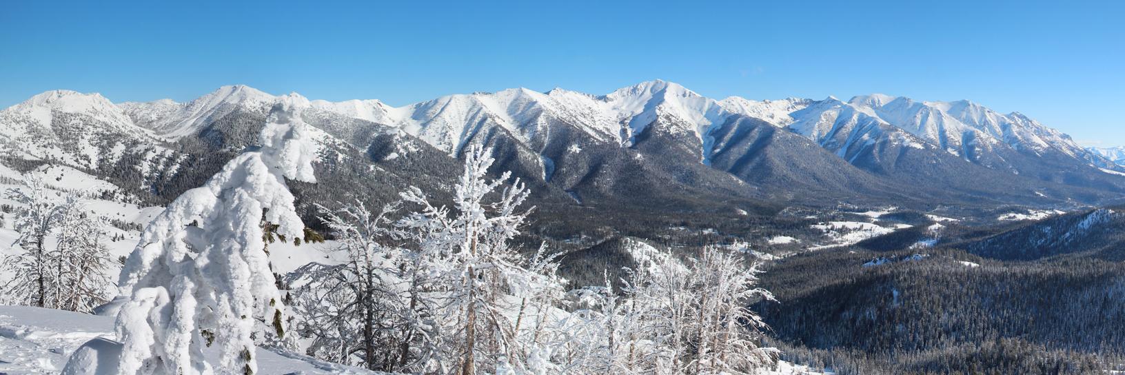
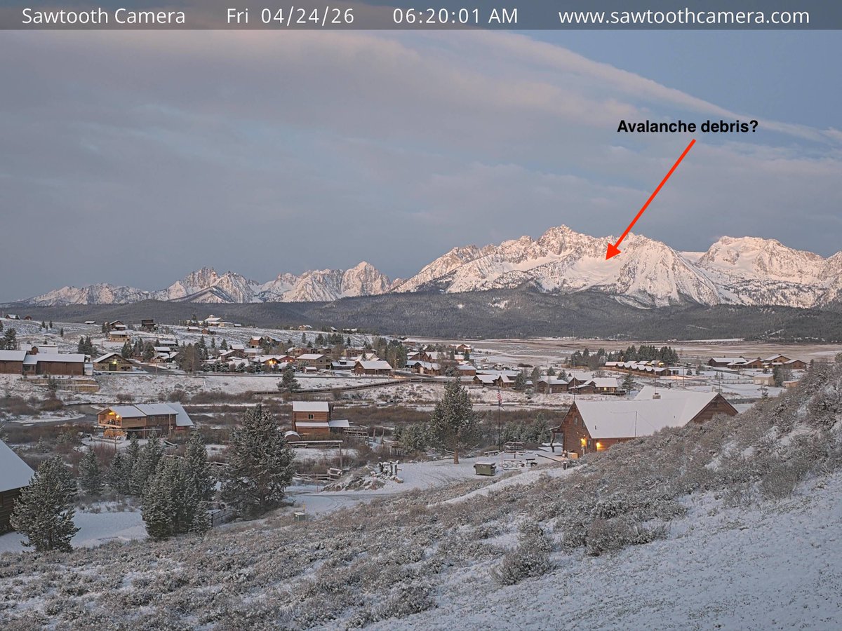
We've posted our final General Avalanche Information product of the season! With continued warming and mostly clear skies forecast this weekend, expect to find wet snow avalanches. Getting out early and returning to the trailhead early are great ways to keep out of trouble.
We've updated our General Avalanche Information product. After 3-10" of new snowfall this week, be on the lookout for cracking or collapsing as evidence of unstable snow. Looking for changing conditions or unexpected hazards is the best way to play it safe in the mountains.
We've updated the General Avalanche Information product this morning. Surface refreezes are expected to break down quickly Monday and Tuesday, so time your corn harvests early. Conditions will change rapidly Wednesday with a solid storm thumping the area.
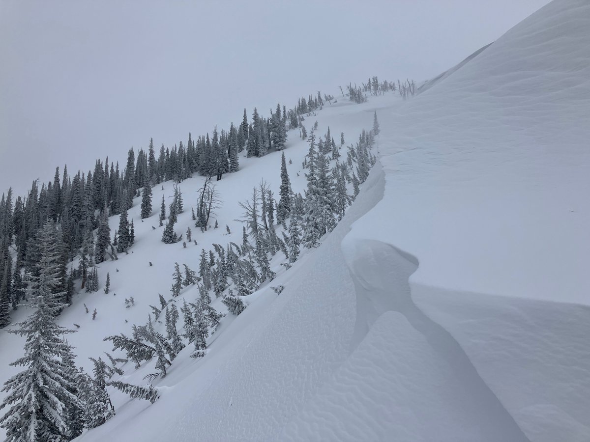
PC: Chris Johnson
The avalanche danger is CONSIDERABLE. Wind slabs at upper elevations, and a variety of sun-induced problems are on the list.
Today will be a day of rapid change for the snowpack. It's a great day to start and end early.
https://t.co/OSS5JgY0SI
The avalanche danger is CONSIDERABLE. 6 to 16” of new snow in the past 48 hours (with more on the way) combined with strong winds created dangerous avalanche conditions. Triggering large avalanches is likely on wind-loaded and sheltered steep slopes.
https://t.co/N9oaBJioTo
Just when we thought winter had punched its timecard and clocked out - April Fools - it's back!Look for changing conditions if you're out enjoying the new snow, especially in areas where you find more than 6" of fresh snow.
For more info: https://t.co/N9oaBJioTo
PC: Jon Preuss
The danger is MOD. Watch for and avoid fresh wind drifts and slabs. Steer clear of steep slopes where steady rain falls. Visit https://t.co/OSS5JgYyIg for details.
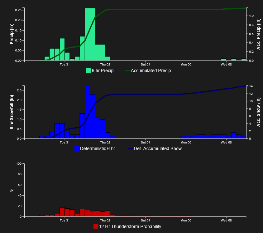
A potent storm arrives Wed night, dropping 8-18" over most of the forecast area.
Image: NWS-Pocatello
The danger is LOW, but the weather is transitioning to a cooler, wetter regime. Wind slabs could come back into play tonight. Models predict a foot of snow by Thursday. Visit https://t.co/OSS5JgYyIg for details.
Image: NWS NBM forecast - Galena Summit/Titus Ridge.
The avalanche danger is LOW. Triggering a persistent slab avalanche remains a possibility on wind-loaded slopes above about 9,200 feet.
You may be able to trigger small Wet Loose avalanches if surface crusts break down this afternoon.
https://t.co/OSS5JgYyIg
With a solid freeze last night and cooler temps expected today, Wet Loose avalanches have become unlikely. In the Galena Summit and Eastern Mtns, it's still possible to trigger a large 1-3 foot thick avalanche failing on weak, sugary snow on slopes that face away from the sun.
We aren’t out of the wet woods yet, although things are starting to look better. Plan to start and end your day early before the upper snowpack becomes wet and unsupportable to avoid the wet snow problems. On shady, cold slopes, triggering a large slab avalanche is possible.
Expect to find a refrozen snow surface this morning, but don’t bank on it remaining frozen all day. Triggering wet loose avalanches is possible as the snow surface softens, and, although less likely, triggering a large slab avalanche remains possible.
https://t.co/N9oaBJioTo
Warm temperatures continue. The danger is CONSIDERABLE. Triggering large wet avalanches is likely. You can reduce your risk by traveling early and getting back to the car early.
The avalanche danger is CONSIDERABLE. It will feel more like the first day of Summer than Spring today.
Record-setting temperatures and hot sunshine are creating dangerous avalanche conditions.
For the full forecast, visit: https://t.co/OSS5JgYyIg
The avalanche danger is CONSIDERABLE. Large wet loose & wet slab natural avalanches due to record-breaking warm temperatures are likely. Triggering a slab avalanche on slopes with cold snow is possible. Start and end your day early to keep out of trouble.
https://t.co/N9oaBJioTo
The avalanche danger is CONSIDERABLE. Record-breaking warm temperatures continue to destabilize the mountain snowpack. Triggering large avalanches is likely on steep slopes facing the sun where the surface snow is uncohesive and wet.
More info: https://t.co/N9oaBJioTo
The danger is CONS. Avalanches are most likely where you feel comfortable wearing only a shirt and shorts: sun-drenched slopes sheltered from the wind. Don't linger beneath large, sun-drenched, rocky avalanche paths.
Visit https://t.co/OSS5JgY0SI for the full Forecast.
The danger is MOD. Today's muted sunshine and heat could create conditions that change quickly and are tough to evaluate. You can avoid slopes with wind drifts to stack the odds in your favor.
Visit https://t.co/OSS5JgYyIg for the full Forecast.
Triggering an avalanche is most likely in wind-exposed terrain. In shaded terrain, large avalanches failing on weak layers buried 1-3 feet deep is not out of the question. Loose Wet avalanches could occur this afternoon on steep sun-exposed slopes sheltered from the wind
The hazard is CONSIDERABLE in the Sawtooth and Western Smokys and MODERATE elsewhere. New snow and strong winds are building sensitive slabs in exposed terrain. In shaded terrain, large 1-3 foot thick avalanches failing on weak sugary facets are not out of the question.