While temperatures are inching up here across SE Texas, folks to our west will continue baking. Highs will be reaching triple digits across mostly of Central Texas. #heat#txwx#tripledigits
Good morning, SE Texas. We have a few clouds this morning, but we are expecting plenty of sunshine. Afternoon temperatures will reach the upper 80s and lower 90s. The other things to be aware of will be the gusty winds we expect the next few days.
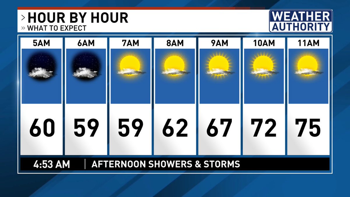
Lingering clouds are keeping our temperatures right around 60 degrees this morning. Clouds should slowly thin out through the day today and that will eventually lead to warmer temperatures this week. Stay w/ Your Weather Authority for the latest.
Good morning, SE Texas. We will see some clouds early today, but by this afternoon we should see plenty of sunshine as afternoon highs warm up into the lower 80s. https://t.co/8r1648WSMr
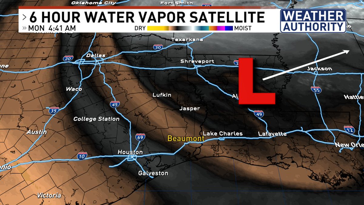
Good morning, SE Texas. As the upper level low starts to move away, we will see plenty of sunshine by this afternoon and for the next several days. Today's highs should be in the lower 80s, but the rest of the week will warm up pretty quickly as winds turn back around.
We could see a few showers this morning, then a bit of a break and then again a few showers will be possible this afternoon. Clouds and rain will hold temperatures back just a bit this afternoon. Stay w/ Your Weather Authority for the latest. https://t.co/sG7QTj0IXB
Good morning, SE Texas. A few showers are moving through the area this morning. It looks like they will move through pretty quickly this morning, then we could see a few more isolated showers this afternoon. Stay w/ Your Weather Authority and you'll be ahead of the storm.
Good morning, SE Texas. We continue to watch showers and t-storms roll up the Texas coast this morning. Look for the chance of showers & storms to hang along and south of the I-10 corridor through late morning, then we should see some sunshine late this afternoon.
Coastal areas of SE Texas are not out of the woods yet. Looking back to the SW, moisture will be moving up the coast bringing showers and t-storms to areas along and south of I-10 through the late morning. Most of the activity will push east into Louisiana by the afternoon.
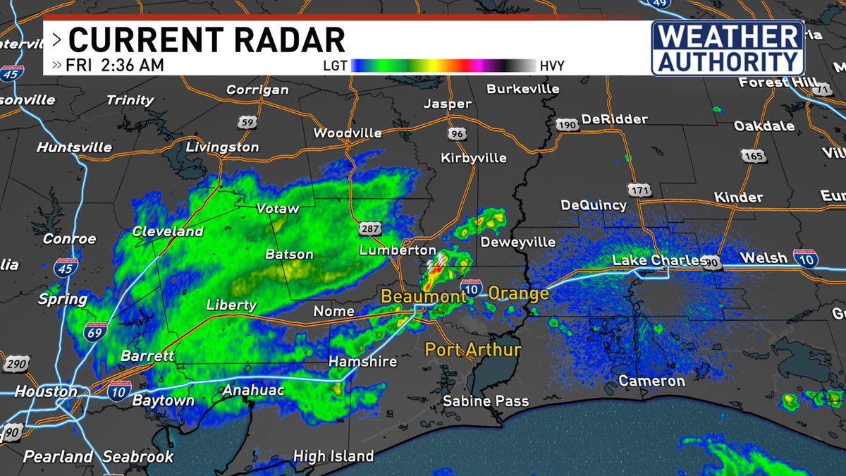
Good afternoon, SE Texas. We have been waiting & we are now seeing some showers & t-storms starting to pop up over Liberty and Chambers Counties. These showers are moving NE at 30-35 mph. Stay w/ Your Weather Authority & you'll be ahead of the storm. https://t.co/sG7QTj0IXB
***TORNADO WATCH*** is in effect for most of SE Texas until 9pm. Showers and t-storms will gradually increase in coverage and intensity through the afternoon and evening. Stay w/ Your Weather Authority and you'll be ahead of the storm. https://t.co/sG7QTj0IXB
The threat for #severeweather has increased across SE Texas today. Most of SE Texas, north of I-10, is under a Level 3 (Medium) risk for storms today. Timing looks to be mid to late afternoon. Stay w/ Your Weather Authority & you'll be ahead of the storm. https://t.co/sG7QTj0IXB
It's a cloudy start this morning. That has held temperatures up a bit overnight. As the morning turns into the afternoon. Look for showers & t-storms to develop. Some storms will likely be severe. Stay w/ Your Weather Authority and you'll be ahead of the storms.
After some rain last night, it is a quiet start to the morning. Look for another round of showers and t-storms this afternoon. Some storms could be strong to severe! Stay w/ Your Weather Authority and you'll be ahead of the storm. https://t.co/sG7QTj0IXB
Showers & t-storms will be likely again this afternoon. Some of those storms could be severe. Parts of SE Texas are in a Level 3 risk for storms this afternoon and evening. Stay w/ Your Weather Authority and you'll be ahead of the storm. https://t.co/sG7QTj0IXB
It's another quiet and cool start to the morning here in SE Texas. It won't last long as we are looking for another shot at showers and t-storms starting this afternoon and continuing through the middle of the week. Stay w/ Your Weather Authority for the latest.
The new Outlook is out from the NOAA NWS Storm Prediction Center. We are still in a Level 3 (medium risk) for severe storms this afternoon & this evening. The biggest threat will be the potential for damaging winds & hail. The biggest hail threat will be to our west.
We are going to be looking at an interesting day. It's another muggy start, but as the day progresses, instability will be pretty high and that will lead to showers t-storms. Strong to severe storms are possible. Stay w/ Your Weather Authority for the latest.
Here's a look at our rain chances over the next 7 days. It looks to be really contained to three days, Thursday, Friday and Saturday. Showers and t-storms will be possible. You will want to stay w/ Your Weather Authority and you'll be ahead of the storm. https://t.co/8r1648WSMr