Severe weather, Updates,pictures,videos and all things storms/storm chasing for education and to help others prepare and be aware of severe weather. #savelives
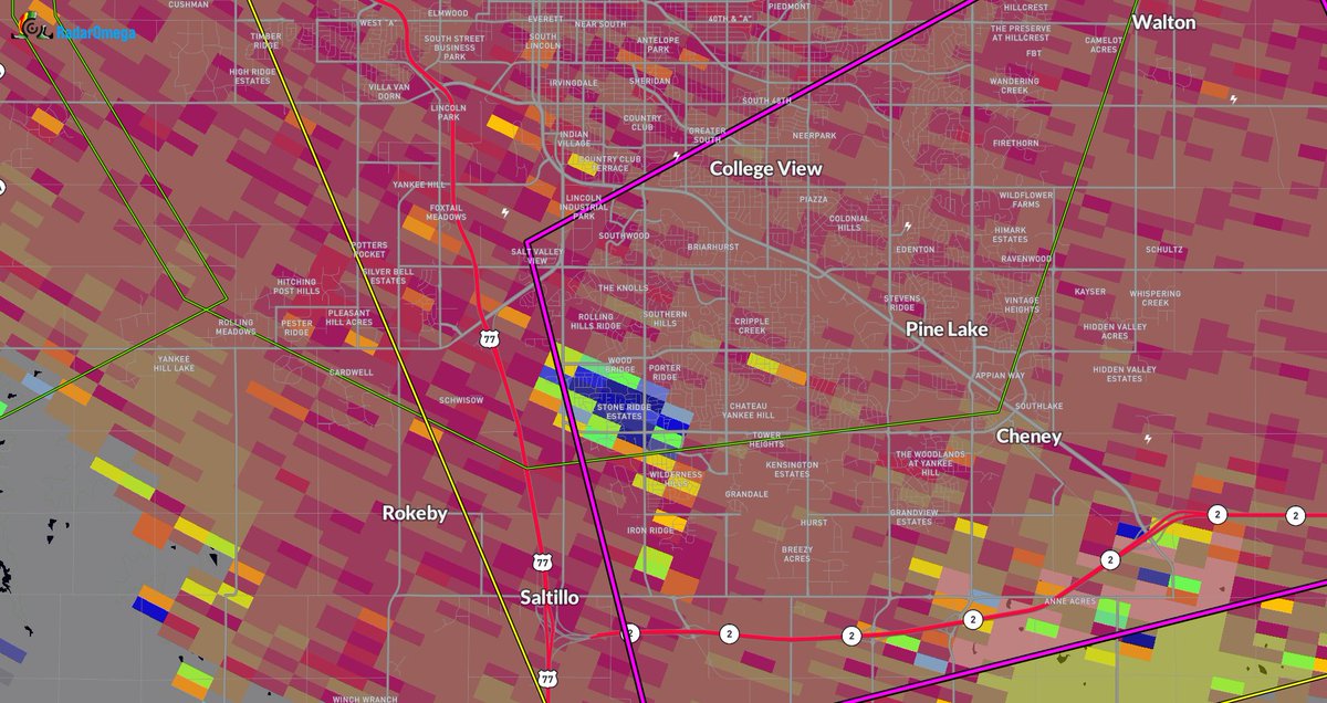
Likely STRONG tornado hit the South side of Lincoln, Nebraska, near College View, about 10 minutes ago.
This has since lifted and was only on the ground for a few minutes. Recycling does remain possible with its discrete nature.
A portion of the area has been placed in a moderate risk for excessive rainfall. Repeated rounds of thunderstorms and showers overnight may lead to localized flash flooding.
🚨BREAKING: A Train Bridge between North Sioux City, South Dakota & Sioux City, Iowa has broke in half with part of the bridge in the Big Sioux River due to major flooding!
LSC Viewer: Jonni Jean Mills
God help us if this stout cap is somehow able to break tomorrow. EF4+ Tornado Possible I-94 west of Metro in afternoon. 70mph+ winds with iso. tornado in metro later evening. Heavy rain, lots of lightning. ***IF*** storms can overcome a strong cap. #mnwx@NWSTwinCities
The South Fork Fire is growing rapidly. This is the view from the Ruidoso Parks and Recreation Office. You can see how windy it is by looking at those flags blowing around. #NMFire#NMwx
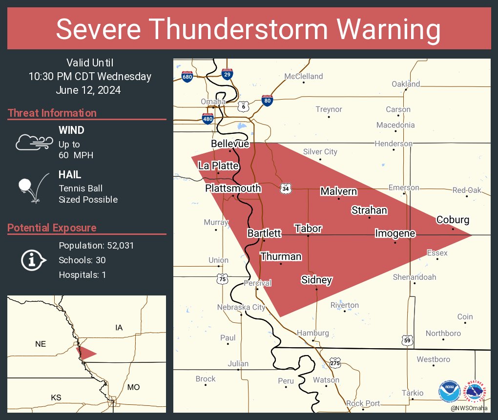
LIVE update on the #tornado threat across eastern Nebraska into western Iowa this late afternoon and evening! A subtle wave will trigger a big low-level jet response by evening. Any supercells will be capable of all hazards. We will be live by around 4 pm Team Dominator
If you’re ever confused on if a storm is outflow dominant or not, just look for @ReedTimmerUSA chasing his hat down the highway while trying to pick up garbage that flew out of the vehicle! That is a telltale sign!
🚨#BREAKING: A Life threatening flash flood emergency has been declared due to catastrophic flooding multiple water resources are underway
📌#Miami | #Florida
The National Weather Service in Miami has issued a Flash Flood Emergency for significant to catastrophic flooding in Miami-Dade, Pembroke Pines, Hollywood, and Miramar, FL. Officials are calling this a catastrophic, life-threatening situation due to ongoing stationary thunderstorms producing heavy downpours, causing extreme flooding. Reports indicate multiple homes and roadways are flooded, and multiple water rescues are underway. Estimates suggest 10 to 17+ inches of rain have fallen across a large area in the past 24 hours, with some areas possibly exceeding 20+ inches, resulting in life-threatening flooding. Many roads have been closed due to high water levels.
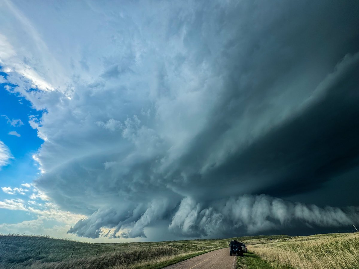
First “REAL” storm chase for my youngest sibling was more insane than any chaser could ask for. Crazy structure turned into a tad sketchy rain wrapped tornado intercept. All in all no regrets for an amazing day in Nebraska🥳 #newx#wxtwitter