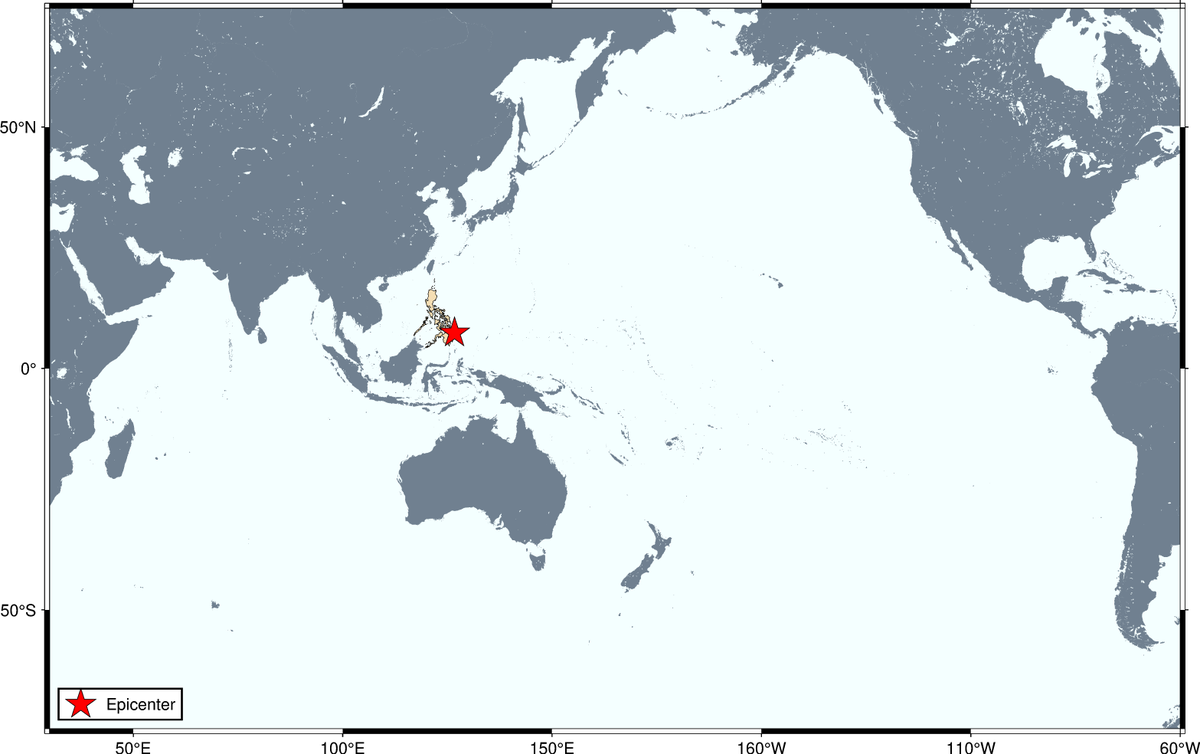
#EarthquakePH#EarthquakeSurigaoDelSur#iFelt_SurigaoDelSurEarthquake
Earthquake Information No.1
Date and Time: 17 January 2024 - 08:31 PM
Magnitude = 5.7
Depth = 010 km
Location = 08.44°N, 126.77°E - 048 km N 80° E of Hinatuan (Surigao Del Sur)
https://t.co/ajBlK4kqGg
#EarthquakePH#EarthquakeDavaoOccidental
Earthquake Information No.1
Date and Time: 09 January 2024 - 04:48 AM
Magnitude = 7.1
Depth = 076 km
Location = 04.87°N, 126.36°E - 119 km S 55° E of Sarangani Island (Municipality Of Sarangani) (Davao Occidental)
https://t.co/TUbHylNt1h
#TsunamiPH
ADVISORY: TSUNAMI WARNING
Tsunami Information No.1
Date and Time: 02 Dec 2023 - 10:37 PM
Magnitude = 6.9
Depth = 008 kilometers
Location = 08.52°N, 126.69°E - Offshore of Surigao Del Sur
https://t.co/YnEUN7M8Qs
#EarthquakePH#EarthquakeDavaoDeOro#iFelt_DavaoDeOroEarthquake
Earthquake Information No.1
Date and Time: 20 October 2023 - 02:58 AM
Magnitude = 6.2
Depth = 005 km
Location = 07.43°N, 126.32°E - 024 km S 58° E of New Bataan (Davao De Oro)
https://t.co/g8fFOQMqOq