Population censuses - their intervals are largely determined by processing times. As Canada's population increases (or becomes more dispersed), it may move from a 5 year to a 10 year population census.
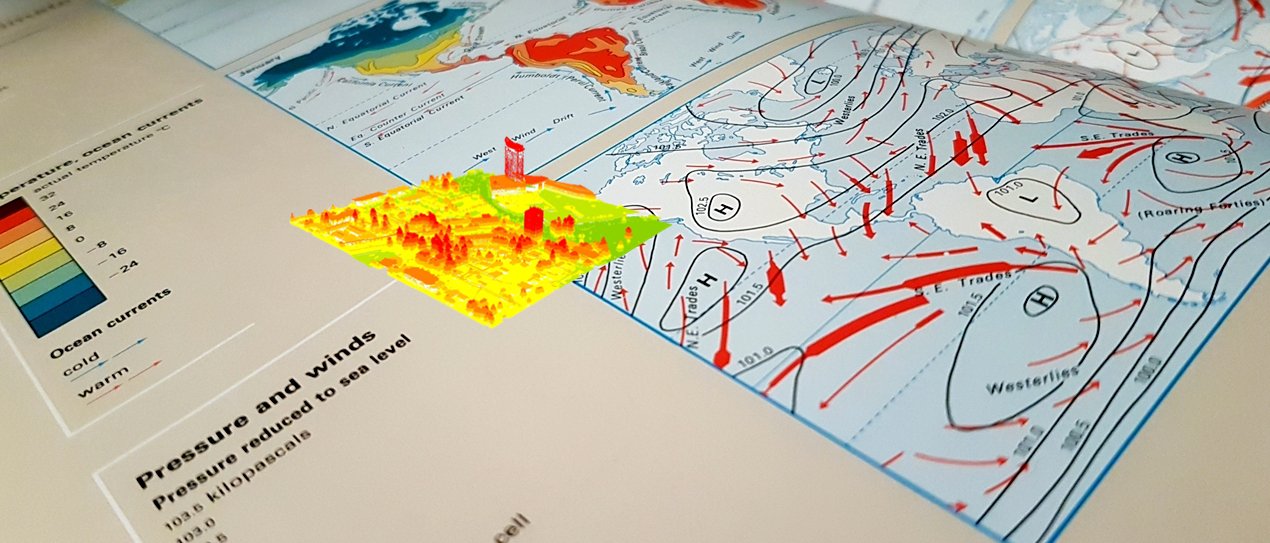
Map making and map reading are gradually slipping out of many HigherEd curriculum to make way for automated tools and processes. "Is map-reading a lost art? In an era of GPS, here's what map fans say we're losing" https://t.co/F88LUr0N5r
Representing reality on maps can ruin a good experience due to inevitable assumptions and consequent miscalculations. "New calculations have raised concerns popular eclipse maps might be off. Here’s what scientists say" https://t.co/ON1O3AO7Rf
Impressive, but maps have errors and sometimes those errors can lead to life threatening situations. "AI Generates 3D City Maps From Single Radar Images" https://t.co/2LtGRLmDbl
Recruitment of international students at the forefront, recently in Canada and now in the UK. "Universities’ international admissions to be reviewed."https://t.co/SxsjMjDlAx
When the solution contributes to the problem. "AI is increasingly being used to deal with climate change, but it has its own emissions problem." https://t.co/p0NicMKryQ
Students designing and building a satellite for climate change studies. "Launch day is finally close for these students and their teensy, climate-measuring satellite". https://t.co/5NgADPrKM4
Correlation is not causation and so too is "no consistent association". "Police budget increases may not reduce crime rates in Canadian cities, research indicates". https://t.co/BF69vzJv2g