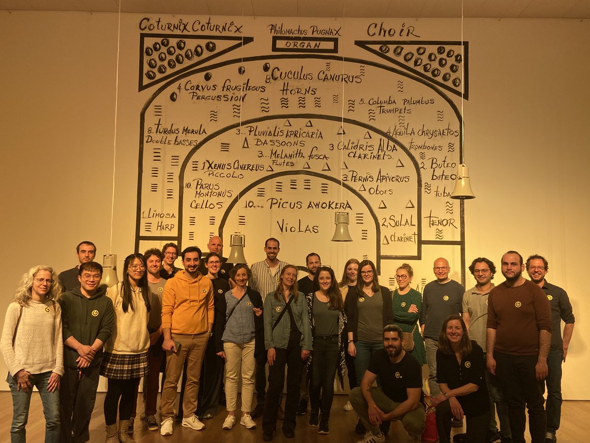
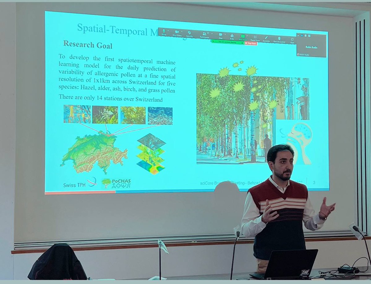
Welcome to our newest member of the team Dr Behzad Valipour Shokouhi @ShValipour👋
Behzad has just completed his PhD in Environmental epidemiology @SwissTPH@UniBasel_en
🔬He is joining the team as our new Geographic Information System (GIS) Data Scientist for @MAGENTA_proj_uk
🤧High levels of #Pollen trigger seasonal allergies & possibly respiratory & cardiovascular health events.
A new model by @SwissTPH estimates daily pollen exposure in #Switzerland, enabling future research.
@ShValipour@MEeftens@meteoschweiz
👉 https://t.co/dsmBzTBDgx
🆕We are hiring a #PhD student in #epidemiology.
Excellent opportunity to collect experiences in all aspects of complex #environmental epidemiological research including field work, exposure assessment, data analysis.
Join our team😊
👇
https://t.co/9c01uhFRCn
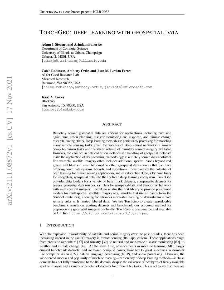
GeoPandas 0.13 is out! This new version comes with a couple of new features like a method to sample random points, sorting along a Hilbert curve or better support of GeoJSON specification. See more in the 🧵 below 👇 (or above 👆).
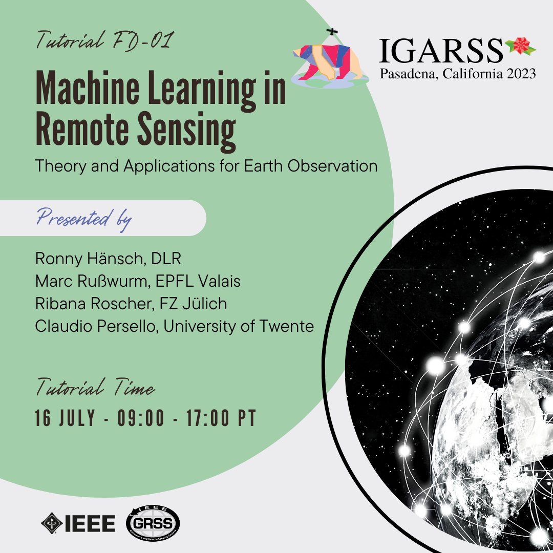
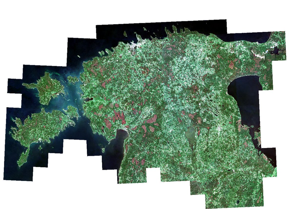
🌍Ready to learn about the latest Machine Learning techniques for #RemoteSensing? Join our tutorials at #igarss2023!🚀
🗓️Four sessions covering ML fundamentals, explainable AI, and more. Don't miss out!
👉More information here: https://t.co/tGjkrj9Kh0
#IEEE#GRSS
This is an important stepping stone for the Geo-Data Science community 🎉🎉🎉 Boosting geopandas with Dask makes analysis at planetary scale not only possible but on very mainstream hardware. Big spatial data for the masses!!!
Today, we're thrilled to accept nominations and proposals for the Microsoft Research PhD Fellowship across Asia-Pacific, Canada and the United States, EMEA, and Latin America. Program details vary by region. Review your region's tab for info and key dates: https://t.co/UKZ5aSEEhv
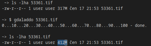
Difference between COG and GeoTIFF basically (but not only) is, that COG uses internal index.
To speedup work (e.g. in @QGIS) with raster data, use gdaladdo script to create overviews.
GeoTIFF will store overviews internally.
https://t.co/MNOpB9Ql3Y
📣The @opengeohub Summer School 2021 goes online! Join us for free live presentations & workshops by leading #R, #OSGeo, and #R-Spatial developers! Deadline for registration: 15 July - no registration fees! Register here: https://t.co/DjPIHGRnyj 🌐 #ifgi#opendata#opensource
The full programme of the GEO Virtual Symposium 2021 is now available online. From Climate to Health to Urban topics, join us to learn about & share successful practices across the @GEOSEC2025 work programme.
📌21-24 June 2021
#EO4Inclusion#EO4Impact
https://t.co/1UWErajeSW
5 courses in Coursera to become a Machine Learning engineer:
1. Machine Learning
2. Deep Learning Specialization
3. TensorFlow Developer Professional Certificate
4. TensorFlow: Advanced Techniques
5. Introduction to Machine Learning In Production
Take them in that order.
Machine learning pipeline:
1. Project scoping
2. Data definition
3. Data preparation
4. Model training
5. Error analysis
6. Deployment
7. Monitoring
8. Maintenance
If you are an aspiring Machine Learning Engineer, this is a good blueprint to guide your learning.
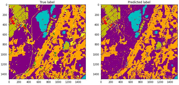
Discover high-quality, open geospatial training data from @Stanford@GFDRR@Spacenet_AI@Microsoft @BigEarthERC & more on #RadiantMLHub. Download an entire archived training dataset with a single click & start building your #MachineLearning applications: https://t.co/VGLjdYKOlm