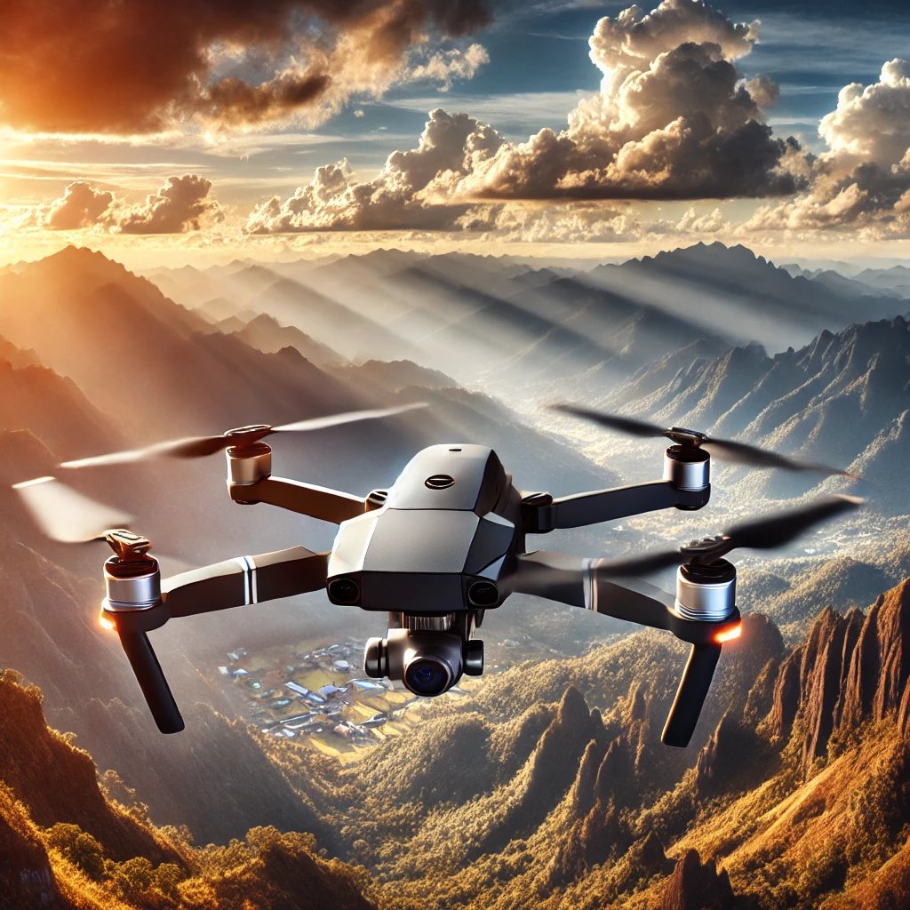
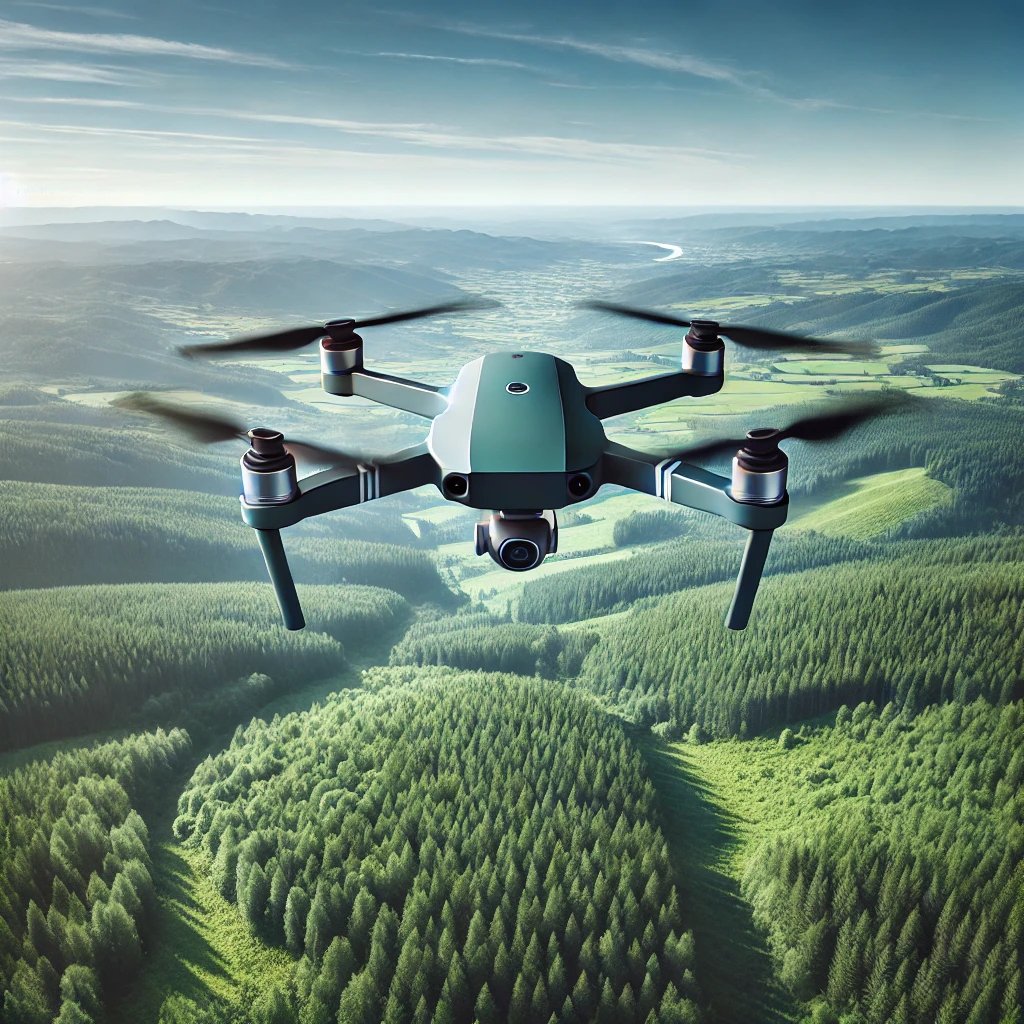
Drones are transforming topography.
Rapid data collection.
High-precision 3D mapping.
Access to remote areas.
They’re changing the way we see and shape the land.
#Drones#Topography#Mapping#Innovation#GeospatialTech
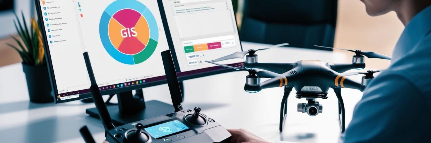
Drones + GIS = a geospatial revolution.
Drones capture aerial imagery.
GIS analyzes and maps the data.
Applications: smarter cities, disaster planning, precision farming.
Together, they turn raw data into actionable insights.
#Drones#GIS#Innovation#Mapping#TechFuture
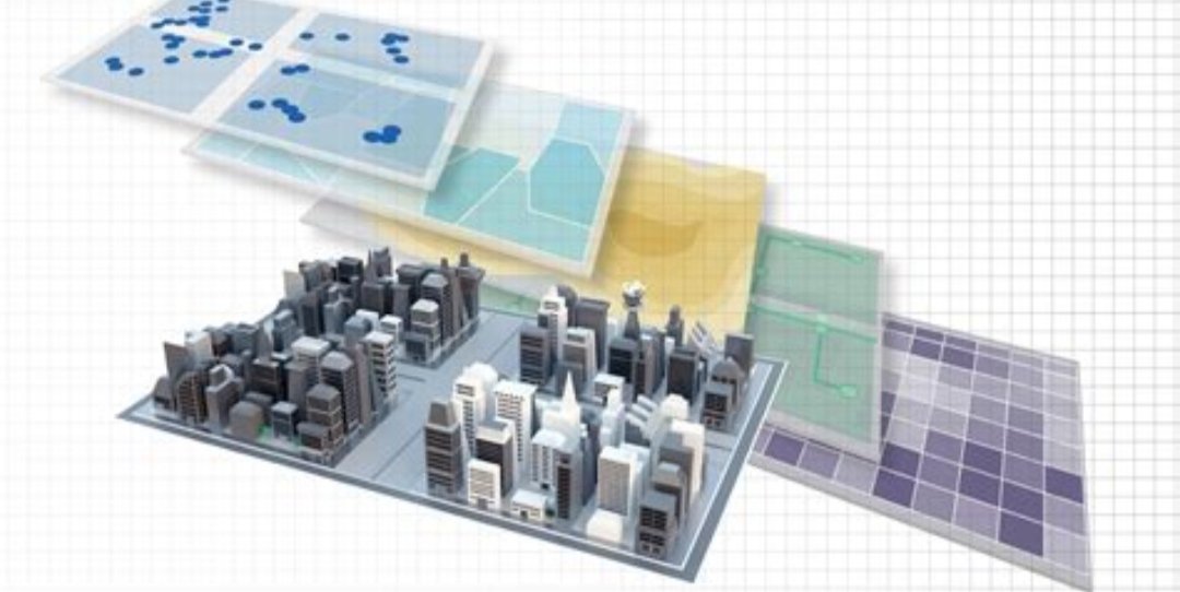
GIS is revolutionizing urban planning.
Designing efficient public transport routes.
Identifying optimal locations for green spaces.
Enhancing disaster preparedness.
Smart cities start with smart mapping.
#GIS#UrbanPlanning#SmartCities#Geospatial#Innovation
GIS isn’t just for cartographers.
It’s for:
Businesses optimizing delivery routes.
Scientists tracking deforestation.
Governments planning smarter cities.
Location intelligence is the superpower you didn’t know you needed.
#GIS#Innovation#SmartCities#Geospatial
GIS is more than maps. It’s solving real-world problems:
- Optimizing city traffic.
- Tracking climate change.
- Planning disaster response.
And with open-source tools, anyone can start making an impact.
Daily tips 😉 @simeontaskaris#GIS#MappingTheFuture#OpenSource#Geospatial
Good tech doesn’t have to be expensive.
Geographic Information Systems (GIS) are proof.
Open-source tools like QGIS empower individuals and businesses without the high costs of proprietary software.
The future of GIS is accessible and collaborative.
#GIS#OpenSource#QGIS