Sustainable forestry requires knowing what's happening across millions of acres of working lands.
Satellite monitoring delivers that intelligence continuously.
Read the case study -> https://t.co/FIIYv6yebk
#WorkingLands#Forestry#Sustainability#RemoteSensing
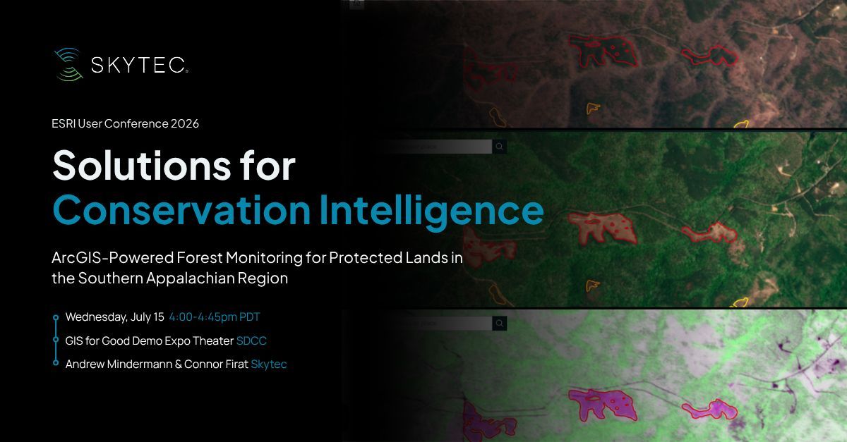
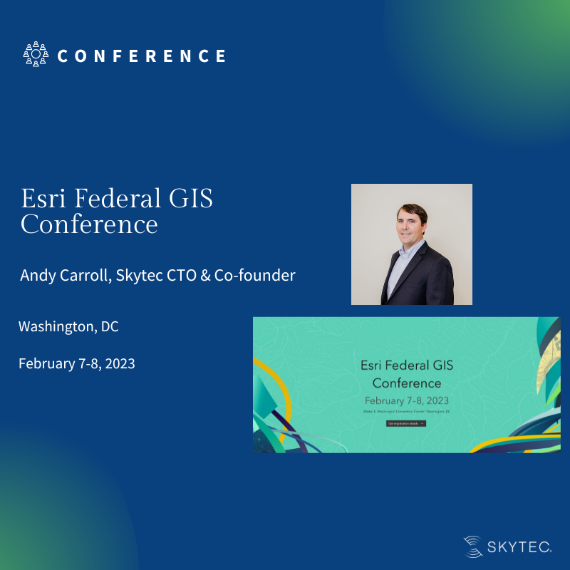
Join us at @EsriUC on 7/15 to see how one of our nonprofit clients monitors 120,000 sq. km of federal lands with Ranger using @PlanetLabs imagery and delivered inside ArcGIS.
Session details → https://t.co/5o7vuCacPT
#EsriUC#MonitorWhatMatters#EnvironmentalIntelligence
With satellite imagery and spatial analysis, Skytec built the Forsite® tool that maps sourcing regions and helps verify sustainable practices at scale. This is supply chain intelligence on the landscape.
https://t.co/OAB8k7TVUr
#WorkingLands#GIS#Sustainability
Companies like International Paper manage millions of acres of working forestland. Knowing where fiber comes from and whether it's being managed sustainably is a massive data challenge. GIS makes it tractable.
Skytec's GeoAI work includes a statewide wetland probability surface trained on meticulously collected geographic data and satellite imagery predicting every wetland in the state at three-meter resolution.
https://t.co/H2btimwvDg
#RemoteSensing#EnvironmentalIntelligence
The difference matters because landscape data is spatial. Where something is located, what surrounds it, how it's changed over time, these dimensions require models built for geography, not just pattern recognition.
Monitoring should not be a one-time project or an annual endeavor .
Continuous change detection with near real-time monitoring let's you know what is happening on the land before issues arise.
https://t.co/2NtfkLeCoX
#MonitorWhatMatters#EnvironmentalIntelligence
Organizations that manage land can't afford to wait for the next field survey to know what's changed.
Environmental intelligence closes that gap.
https://t.co/zReR7qBqEf
#EnvironmentalIntelligence#RemoteSensing#LandMonitoring
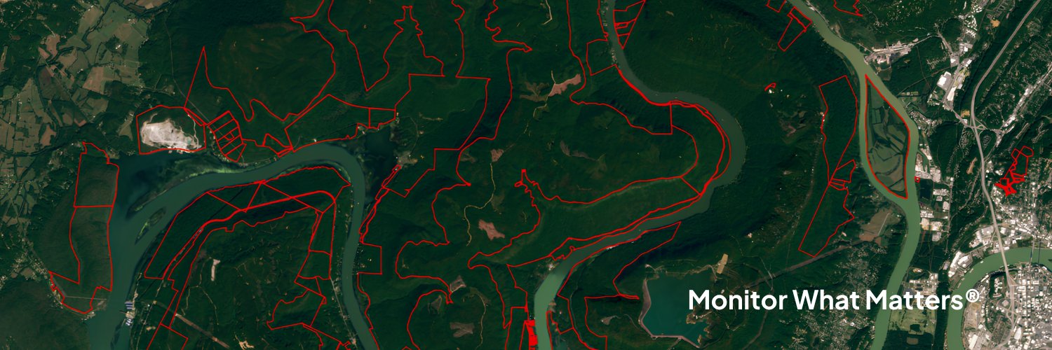
The Tennessee River Gorge Trust monitors nearly 30,000 acres of one of the Southeast's most ecologically significant landscapes — continuously, from orbit, inside ArcGIS.
https://t.co/gqe49js1Rx
#MonitorWhatMatters#ConservationTech#Ranger
Environmental intelligence is defensible, decision-ready, and actionable. Not just a dashboard or a visualization, a conclusion with a data trail behind it.
#EnvironmentalIntelligence#GeoAI#LandMonitoring
There are a lot of mapping products out there. Skytec builds beyond that to provide insights you can act on. A thread on what separates environmental intelligence from traditional methods.
The difference is interpretation. Raw satellite data is just pixels. The value comes from domain expertise from environmental scientists who know what wetland hydrology looks like from orbit or what a change polygon actually means.
Skytec, a silver-level @Esri partner, brings years of experience working with Esri and ArcGIS to deliver valuable insights to clients on the industry-leading GIS platform.
Read the full blog post here: https://t.co/TEAbuktLPN
#esripartner#remotemonitoring
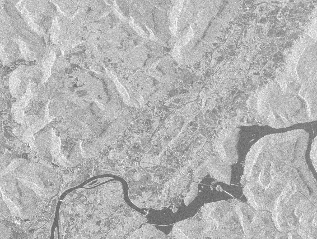
Asset monitoring doesn’t wait for sunny days and blue skies. With synthetic aperture radar on the horizon, Skytec will be able to deliver satellite imagery and data in all weather environments.
Learn more: https://t.co/UM5ZuyVmVz
#SAR#remotemonitoring#satelliteimagery
It’s officially Day 1 of Geo Week!
We look forward to connecting with friends and partners while developing new relationships during this week’s event.
If you’re attending #GeoWeek, be sure to connect with Skytec’s UAS Department Manager, Douglas Madrid.