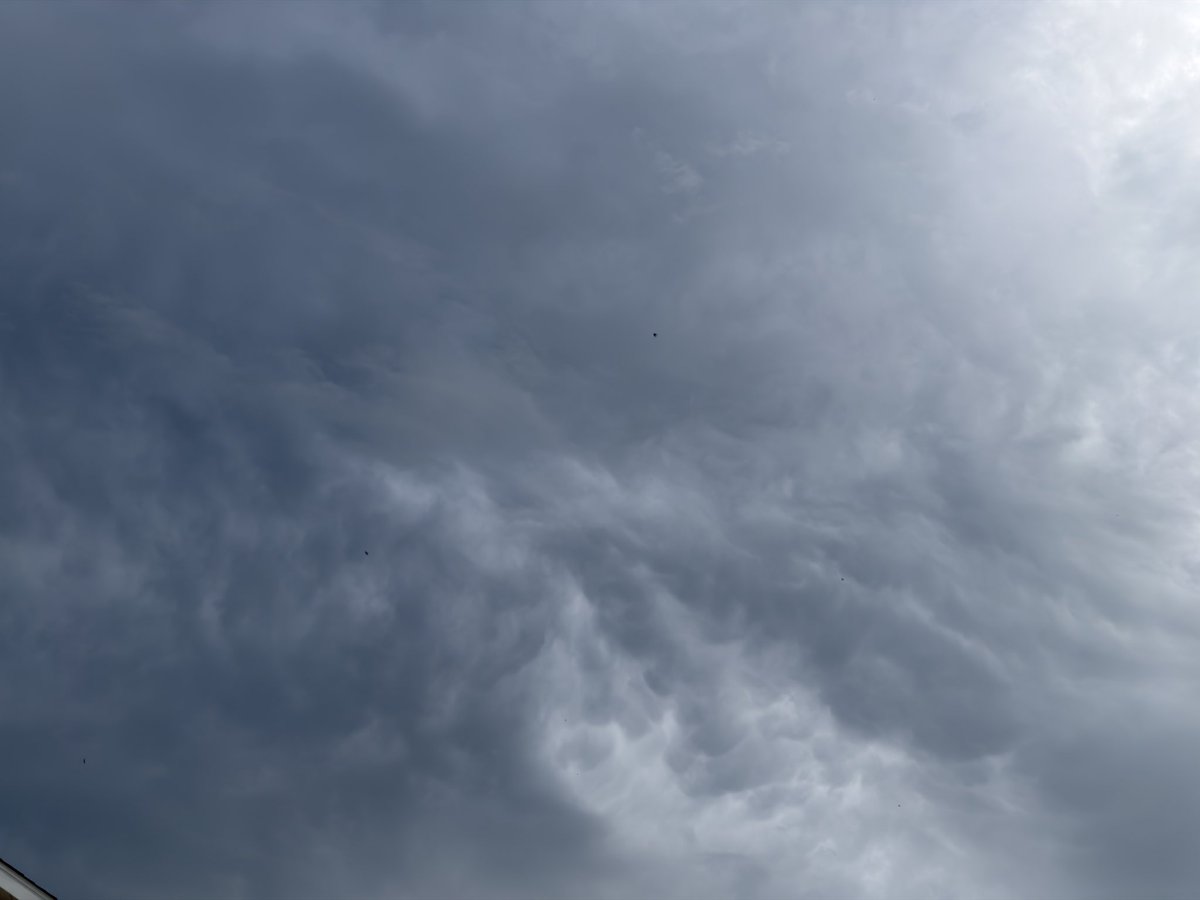
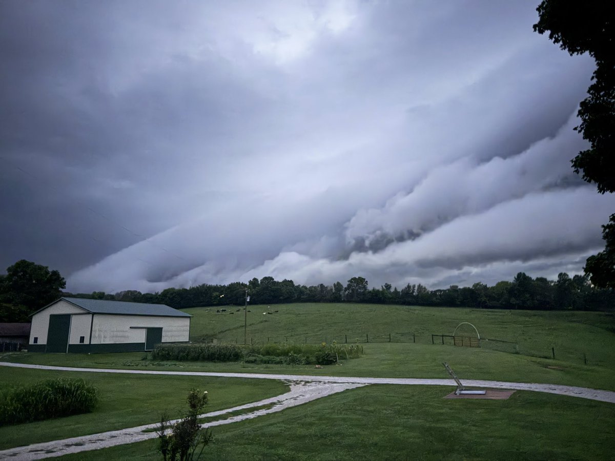
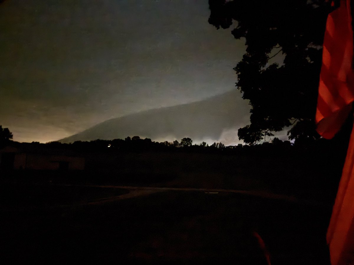
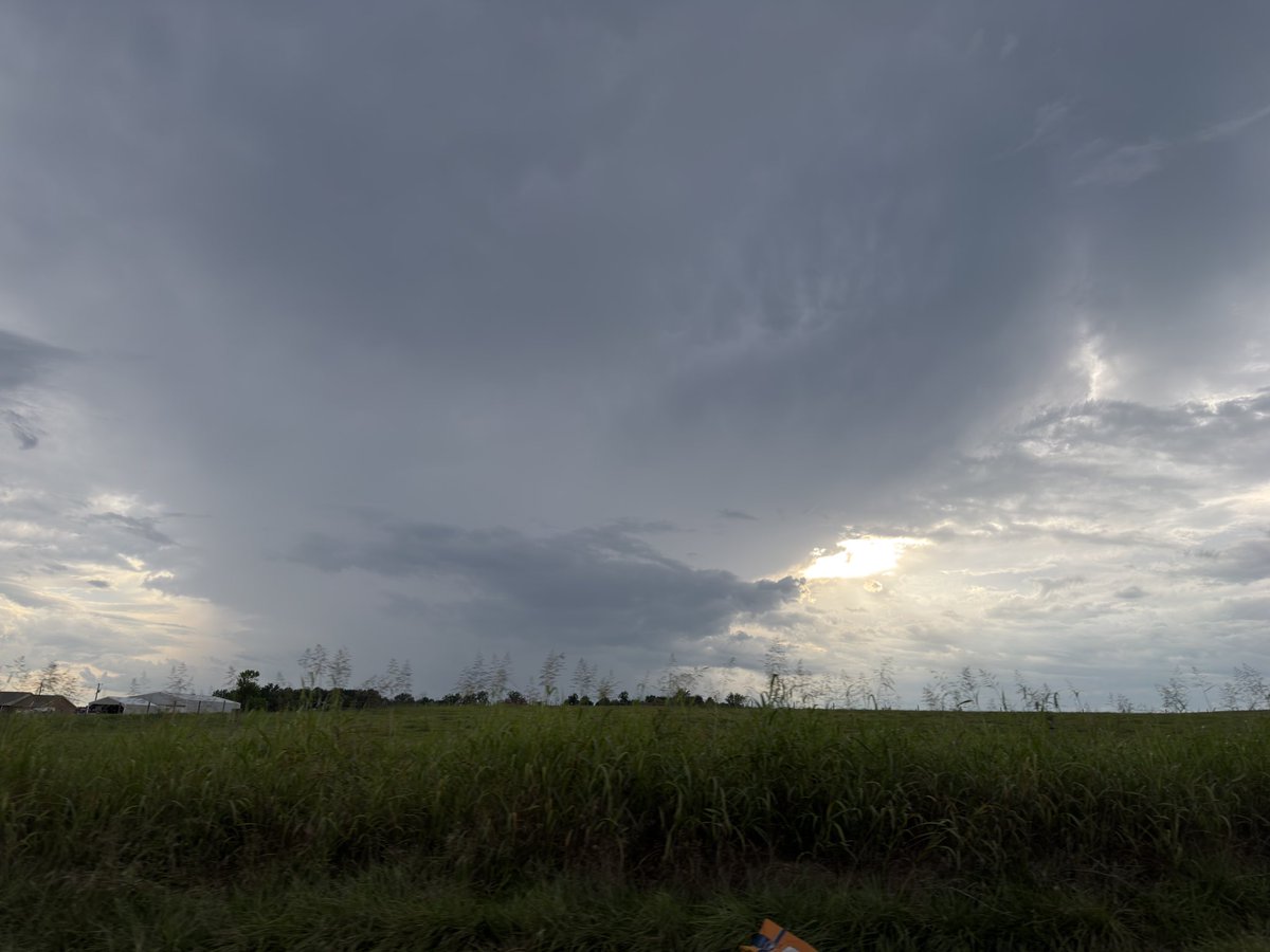
@0meterChasers@I65WxSils@Dom8317 Mammatus over Munfordville direction, same over Hodgenville, storm clouds/rain shaft looking south towards Bowling Green!
MORE awesome pics of the low top supercell earlier on N side of town. This was sent into me by @Dom8317 of a nice Inflow tail and shelf cloud.
It almost looks like a Ragged wall cloud too.
- @I65WxSils
Hey @NWSLouisville here’s video moments ago that was just sent in to us from @alfredo_aubone of some Pea size hail out in Dry Fork (Southern Barren)
- @I65WxSils
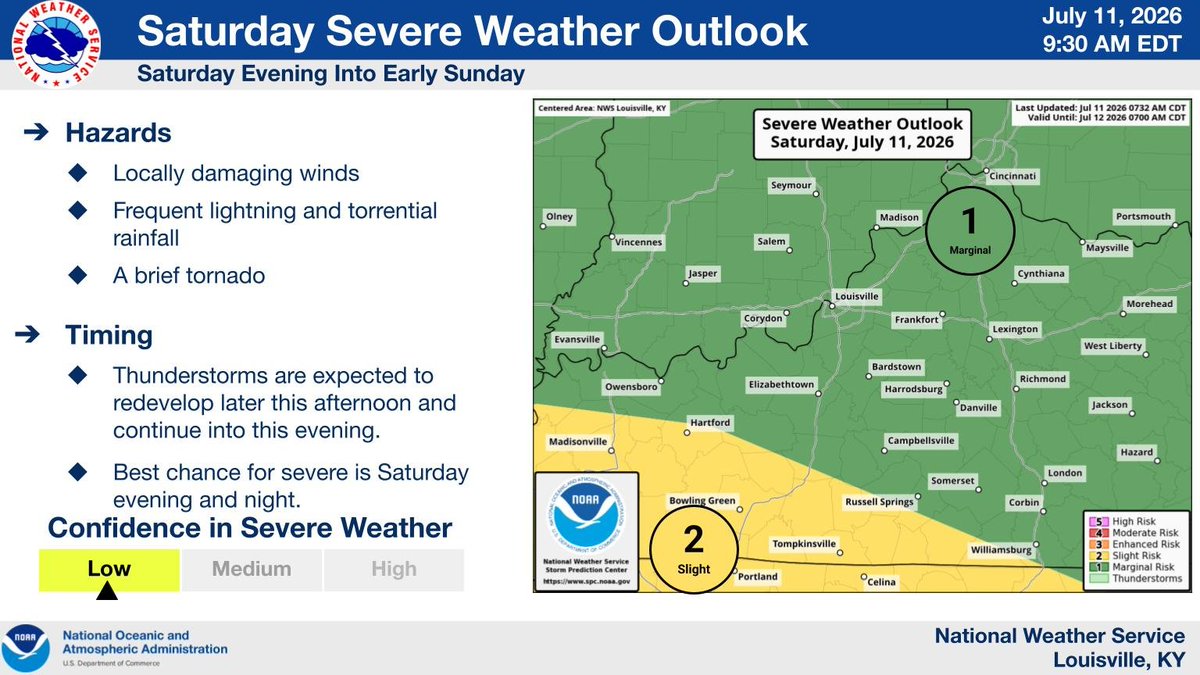
Thunderstorms are expected to redevelop later this afternoon and continue into this evening. Best chance for severe is Saturday evening and night with locally damaging winds, frequent lightning and torrential rainfall being the main threats.
It’s sad when you can’t be an American or Proud to Live in this country without the groups of sissyfied tweety birds out here… You all do realize planes and other aircraft fly all over the world?
I’m just a bit jealous that I wasn’t on that beach to witness our Brave Service Members doing what they love to do🫡🇺🇸 Those are just a few of those who keep us FREE and Protected!
Better give a bit of gratitude and thanks, instead of being a scared snowflake about a helicopter pilots that have far more skills and training than those who fly a commercial bus!
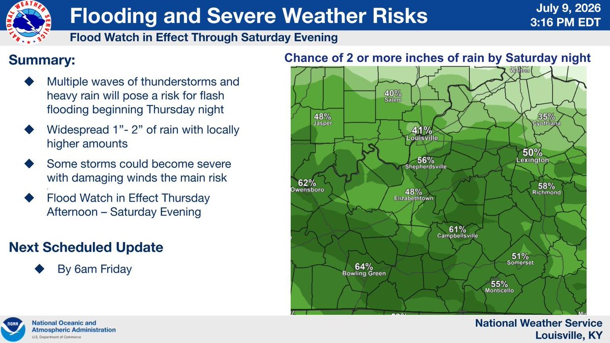
The risk for flash flooding will continue through Saturday evening as multiple waves of showers and storms bring locally heavy rainfall. Have multiple ways to receive warnings and stay safe!
Additional waves of heavy rain and thunderstorms will continue tonight into tomorrow, and potentially again tomorrow evening through tomorrow night. Confidence remains low in if and where flooding rains will set up, but the highest chances will be across southern KY.
@NWSLouisville
Several trees and power lines downed due to some of those trees within Horse Cave. Various streets, trash cans scattered about. Per Emergency Radio Traffic.
Waves of showers and storms beginning Thursday evening, and continuing through at least Saturday, will pose a risk for both flash flooding and severe weather. Have multiple ways to receive warnings and know your safe place.
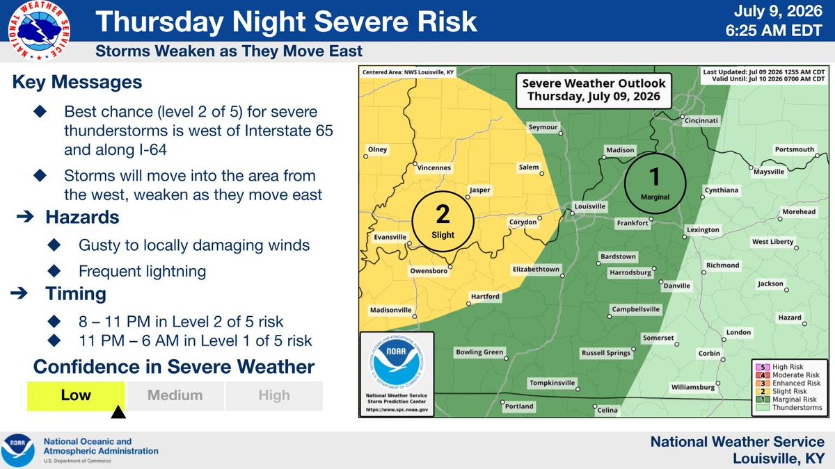
A cluster of thunderstorms will bring a risk for gusty to locally damaging wind gusts and torrential rainfall to portions of southern Indiana and central Kentucky late this evening into the overnight period.