Out West, #TeamRTC joined @ca_coastal, @sot_scc, Mission Peak Conservancy, Higher Ground, and other members and supporters of the Bay Area Trails Collaborative for a ride in Oakland, California!
Thanks, all, for getting out to #CelebrateTrails along #BayAreaTrails!
📷 @adup512
San Jose's annual trail count is *TODAY* -- share with the city how you use trails to help with future planning. What works well? What needs improvement?
Guadalupe River Trail - one of the best attractions along trail reopens. The Rotary PlayGarden is NOW OPEN Fridays through Sundays 10:00 AM to 4:00 PM https://t.co/g5lShydcN2
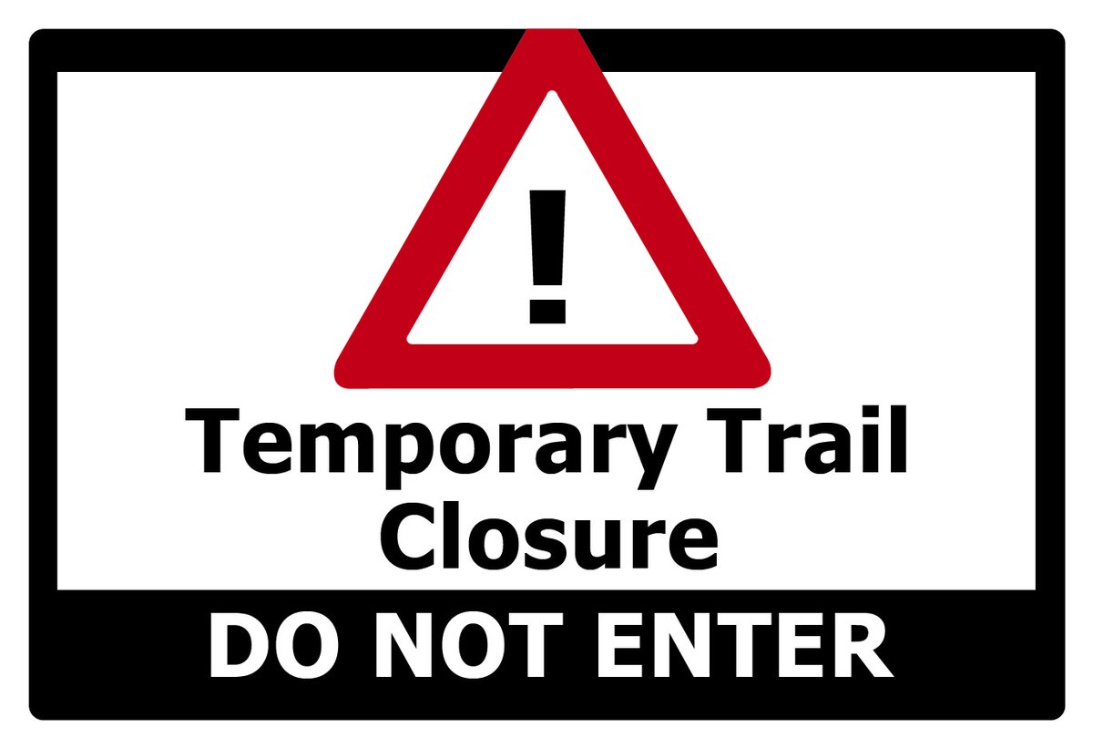
Lower Guadalupe River Trail (Montague Exp) - TEMPORARY CLOSURE: Major storm debris blocks passage beneath expressway. No direct at-grade crossing at this location. Consider parallel bikeway on N. 1st St. Reported to Park Concerns. @SanJoseDOT@MoveSanJose@bikesv
Thanks. Our Strategic Plan for the Trail Program discusses a wide variety of projects and operations to elevate the program to World-Class status, with a time-limited investment and staffing strategy. https://t.co/OzN3zX9aSN
Trail Network Status Update: With this month's update, now recording 1.42 miles of trail in the "Construct" category, with work in progress from Phelan-Story, and construction contract just awarded for Story-William.
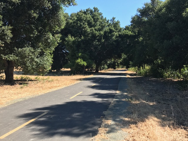
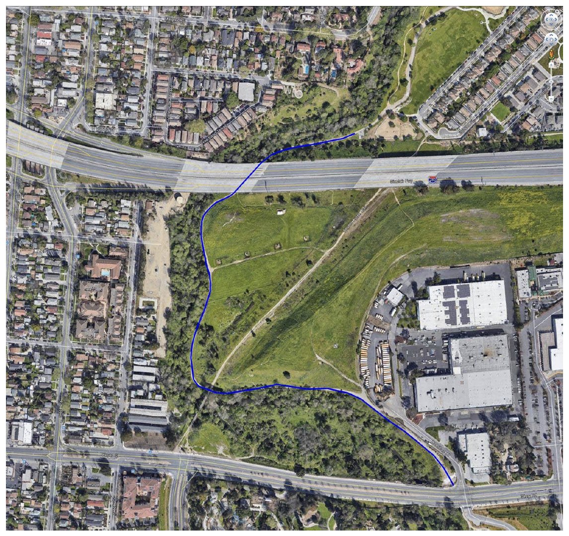
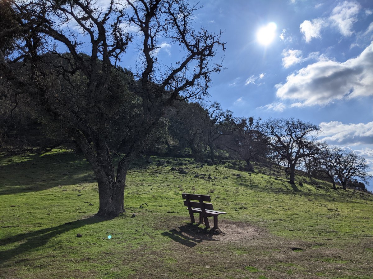
Thanks for Question. Here are three recommendations for paved and less-visited trails which offer space for younger trail users. Albertson Parkway, Los Alamitos Creek Trail and Odette Morrow Trail. Next tweets offer photos and link to maps.
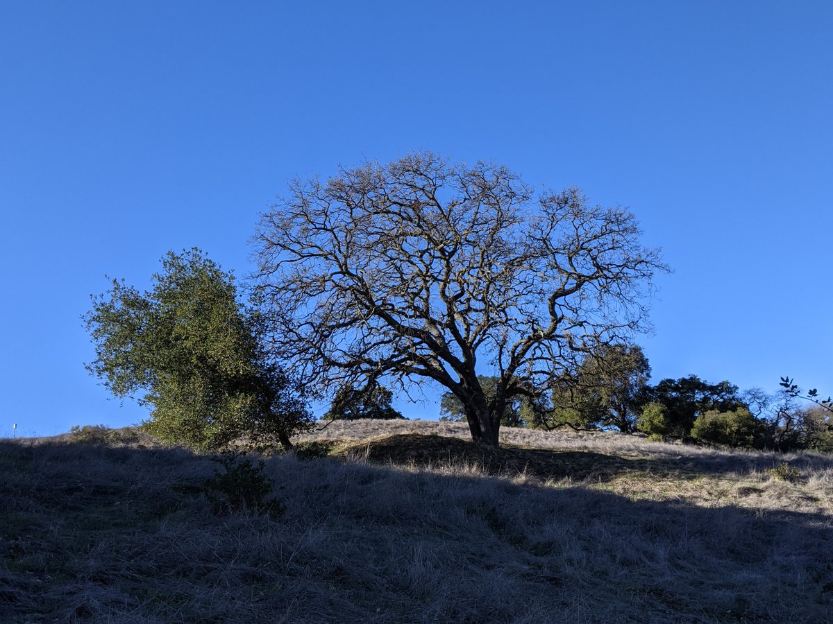
Recommendation No 3, Odette Morrow Trail: A 1-mile loop accessible with bridge crossing to regional Coyote Creek Trail system. No bike commuters here. Trail lets you explore an oak woodland and lost orchard; great adventure for 4 to 7 year-old children. https://t.co/uE5Gf929iy
Recommendation No. 2, Los Alamitos Creek Trail: This trail system has higher volumes, but good lines-of-sight and wide shoulders. Expect bike commuters from 7-9, but less by mid-morning. https://t.co/5XkjeDi3ON
Recommendation No. 1: Albertson Parkway: Quiet "Edge" Trail in the San Jose Trail Network. Not a commuter route, and tends to draw pedestrians. Be careful at the at-grade crossing of low-volume neighborhood streets. https://t.co/WHyUEukghc
*REMINDER* Lower Guadalupe River Trail (Montague Exp) - TEMPORARY CLOSURE: Major storm debris blocks passage beneath expressway. No direct at-grade crossing at this location. Consider parallel bikeway on N. 1st St. Reported to Park Concerns.
@SanJoseTrails Finally on our way to link the Coyote Creek Trail from Story Road to Tully Road. When completed the missing segment will link Downtown with Anderson Reservoir and Anderson Lake County Park just below the Dam where one can see the water release from the reservoir.
Thank you to our #PRNSBest Park Rangers for acting quickly to close off the trail to keep visitors safe and informed. For updates, please visit https://t.co/tezKYYaqTH
Coyote Creek Trail (Story-Remillard Traffic Signal): Good meeting with our Public Works and @SanJoseDOT partners as we begin design work on signal modifications. Schedule align with completion of trail construction (William-Story) awarded earlier this week.
There's nothing quite like the beauty and accessibility of the parks and open space areas in Santa Clara County. Coyote Lake is a 45-minute drive from downtown San Jose but a world away. A truly stunning place to hike. We even hiked part of the @ridgetrail, big fun.
@SCCParks
Santa Clara County parks and open spaces have so much variety -- you can climb a mountain, choose a trail with some ups and some downs, or enjoy a walk without elevation gain, sometimes all in the same park! Santa Teresa County Park has some of everything.
@ridgetrail