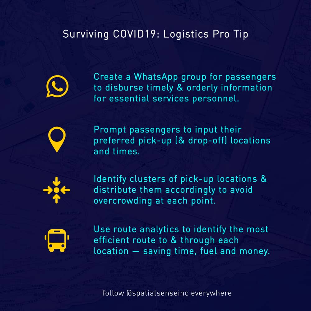
We're working on a Location-Based Information Centre for COVID19. We 'll be posting tips and maps with localised information for #Covid19Zim.
This data helps locals with infection prevention and drives decision-making for aid organisations.
Follow, and retweet for awareness.
We made another indicatory risk map for Chitungwiza illustrating the relationship between population settlement density (i.e. number of people residing in communities compared to the area of the settlement) and the likelihood of high infection rates once the virus is introduced.
#COVID19TIP
Happy Sunday y'all!
Most people are going to catch a cold. You're encouraged to cover your mouth with a bent elbow, face mask or handkerchief while coughing or sneezing for the sake of those around you.
Cheers!
#COVID19TIP
There's no running water in most major cities in Zimbabwe. Take advantage of the free wash points and sanitizers that have been set up around town. This includes major retail shops, malls, food outlets and taxi ranks.
#spatialsense#locationintelligence#covid19zim
Our data is granular up to the ward level of the labelled residential areas. Population statistics were extrapolated using the numbers and annual growth rates from the most recent census which was conducted in 2012 by the national statistics agency — ZIMSTAT.
#spatialsense
We made this map as an indicatory base for further risk analysis and awareness for all groups and individuals working on infection prevention programs. We started with Harare, the most populous city in the country where the first death due to the virus was recorded.
#Covid19Zim
We hope these maps will be useful for:
- Assessing potential risk of high infection propagation
- Making data-influenced decisions to combat the disease via targeted campaigns
- Use spatial thinking in planning and resource distribution for local authorities and aid organisations
#COVID19TIP
Wash hands for a minimum of 20 seconds using soap. Any soap will work to effectively kill the virus. This helps to prevent self-contamination of the sensitive facial areas i.e. mouth and eyes via touching.
#spatialsense#locationintelligence#covid19zim
Spatial Decision Support Systems
Visualisation and Analytics
Asset management
Collecting, Management and Dissemination of data
Geocoding applications to leverage the power of #Where
Supply Chain Analysis
Precision Ag.
What we can do now 🌍
#LocationIntelligence
Been away for quite some time now. Working on the strategic plans, learning and understanding the science, tech, market and the ecosystem, for the best products and services. And as usual tinkering with a few ideas. Mastering the art and science of where. #LocationIntelligence
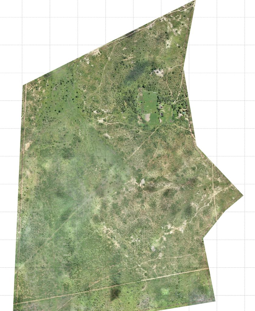
Screen grab from a recent drome mapping project. The level of detail that UAVs have allowed us to capture is a real industry turner. Awaiting the next location intelligence revolution.
#mapping#drones#location
Great news y'all. We'll be launching a digital magazine on all things location, exploring emerging technologies and trends in the Geospatial and Data Science space. We'll also be focusing on the technology impact on the African narrative. More details at #LocateEverything in May!