For the 16 Days of Activism Against Gender-Based Violence, we talk with Elenoa Likutotoka Biukoto, who shares her story from her early years to becoming a Technical Officer for SPC's Earth and Ocean Observation Team.
Read Elenoa's inspiring journey: https://t.co/HnLCjMIe3o
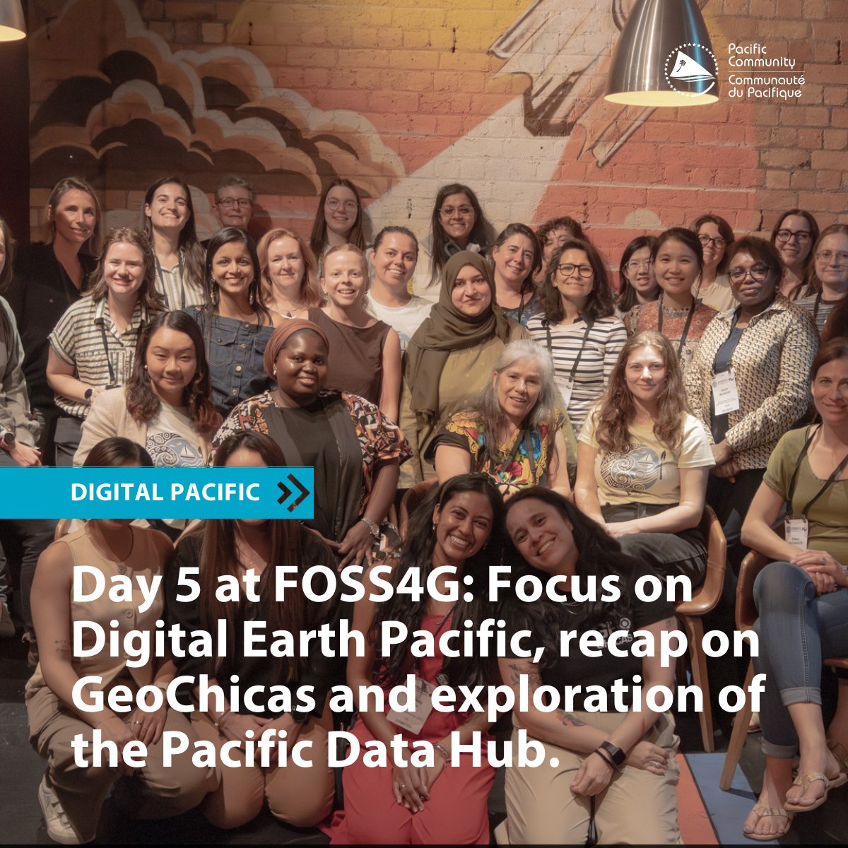
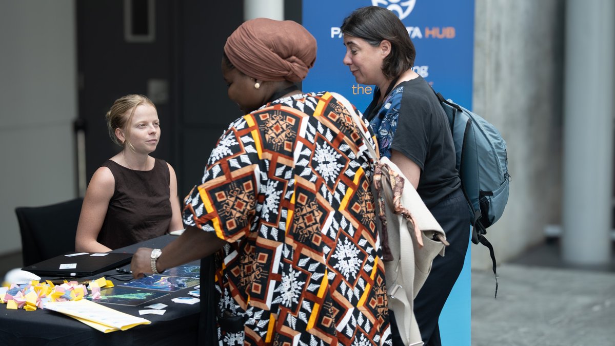
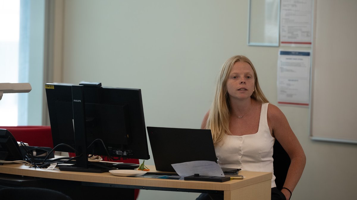
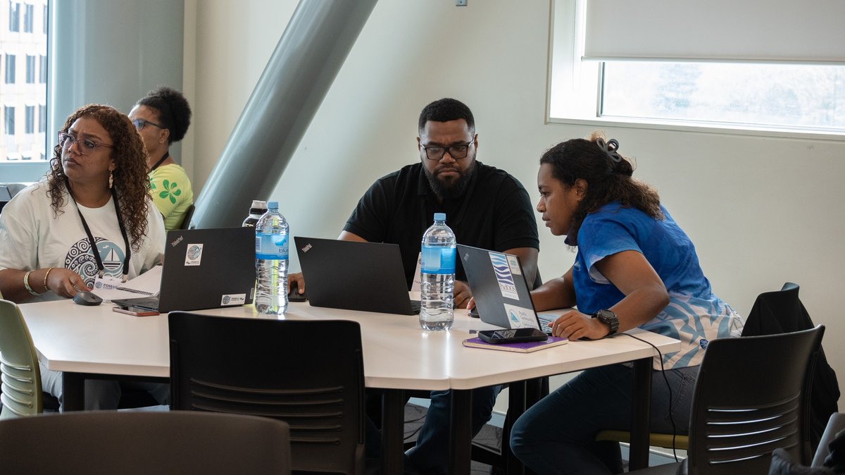
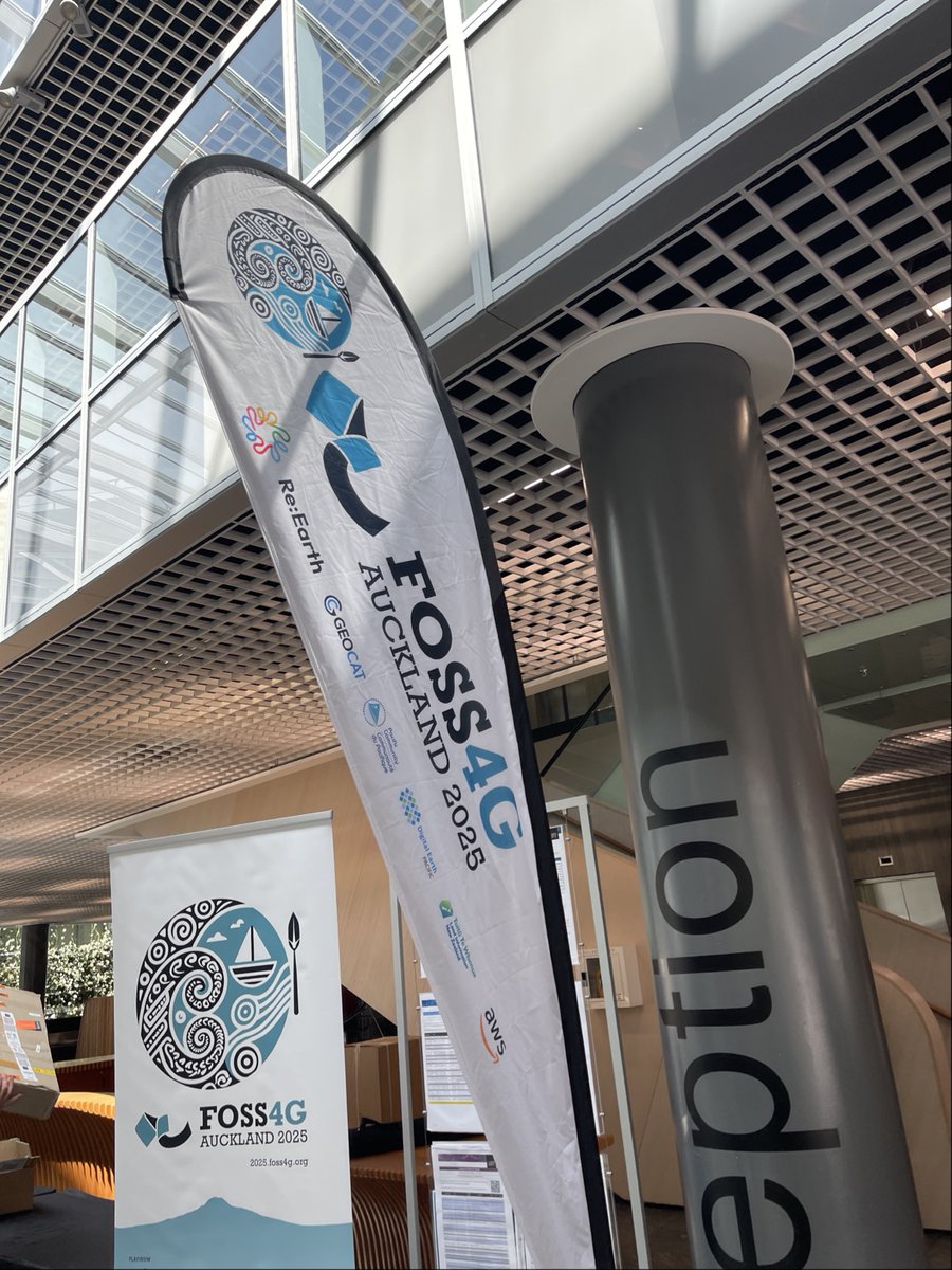
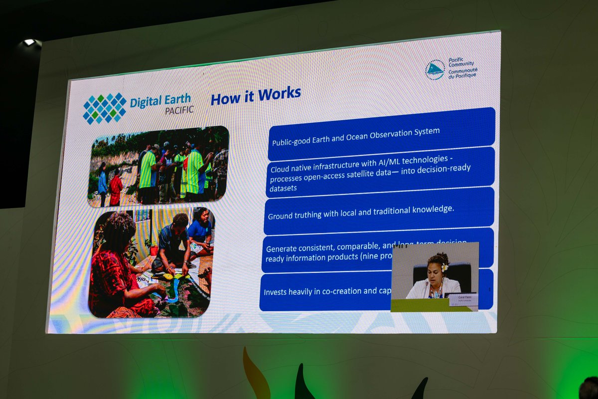
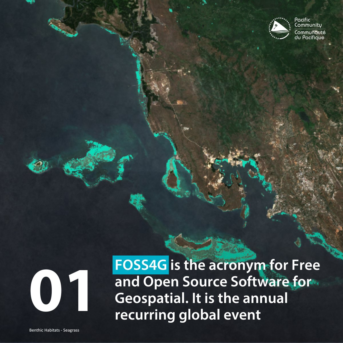
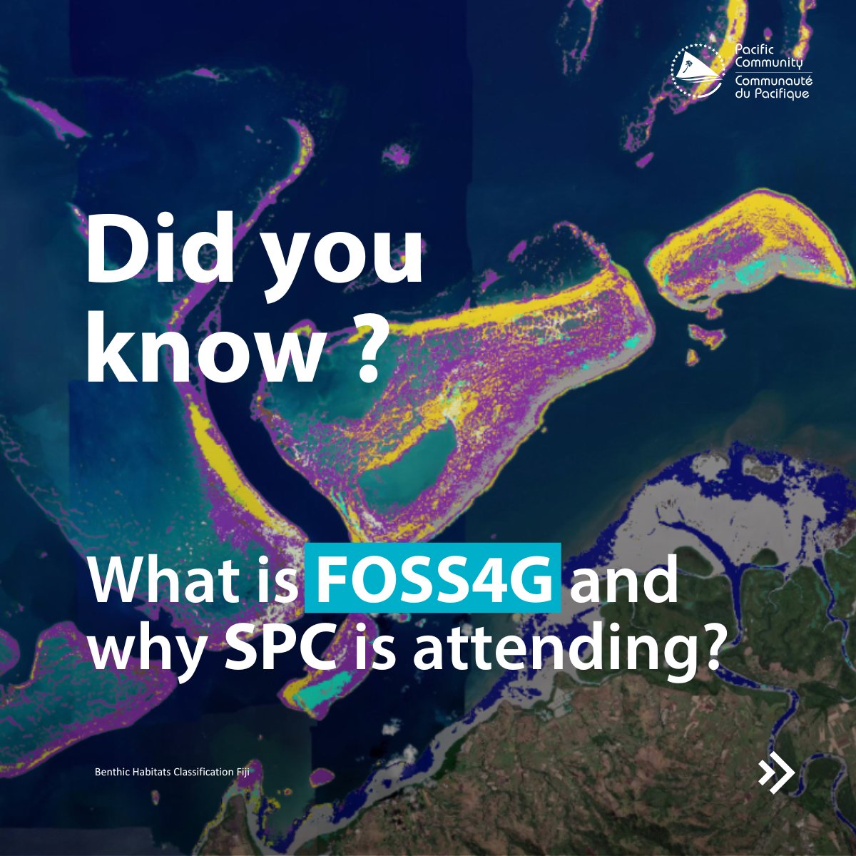
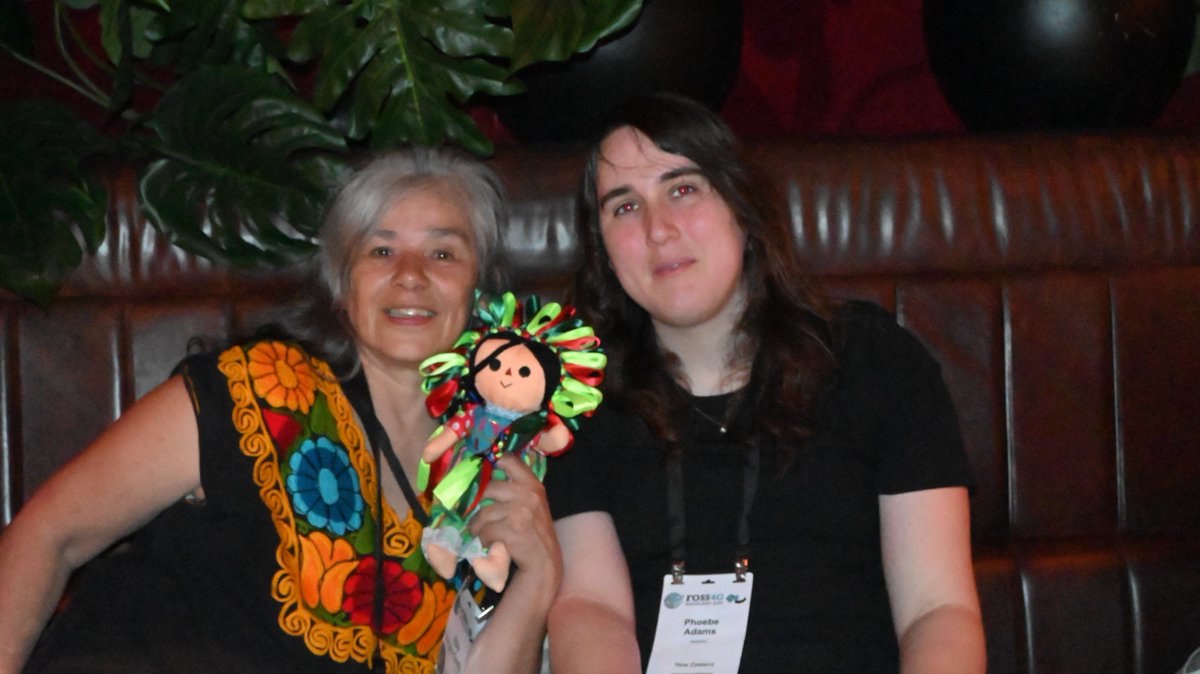
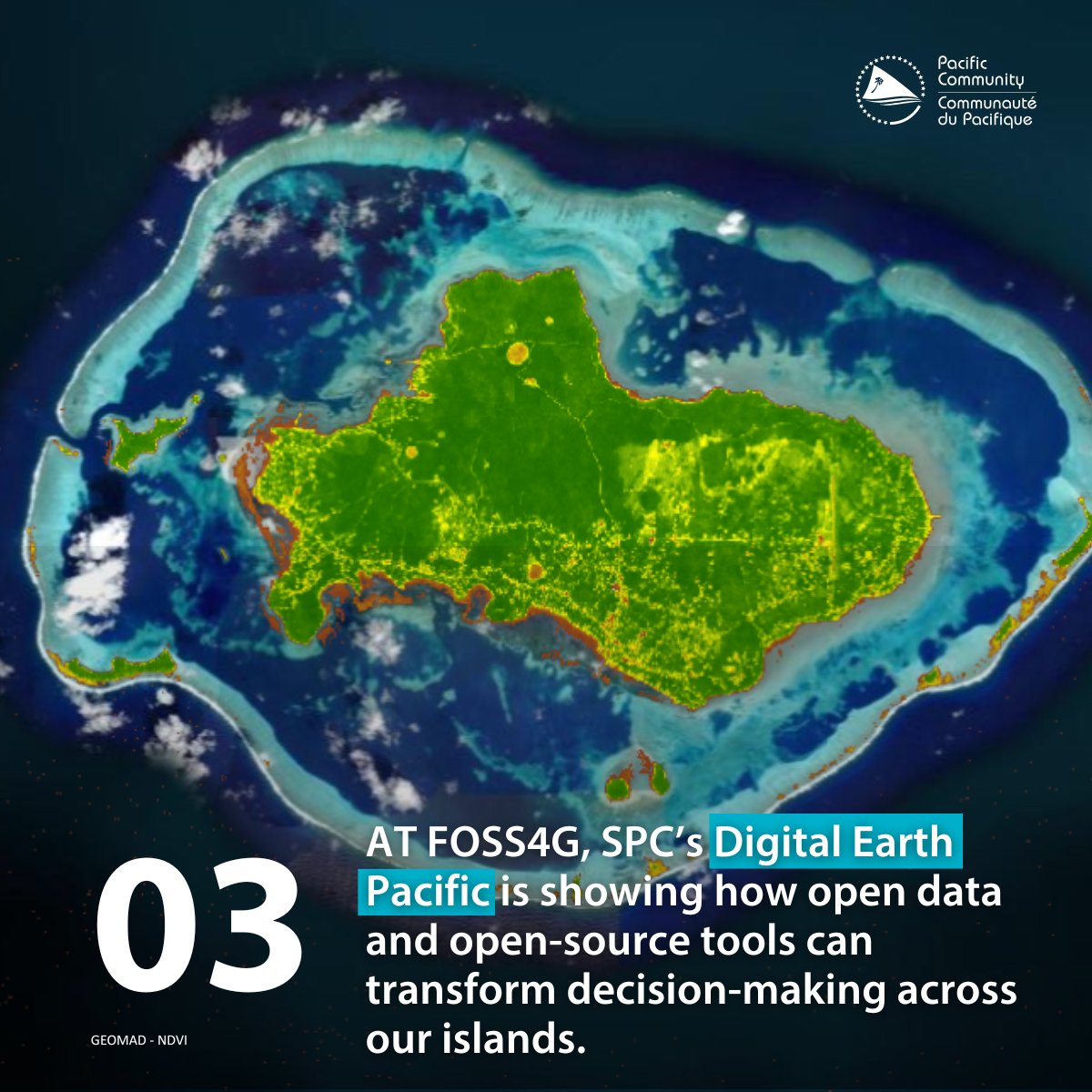
Yesterday at FOSS4G, we organised a social event for GeoChicas, a group of rebel women who map in OpenStreetMap. Today, we started with a presentation on Digital Earth Pacific and closed with a deep dive into the open-source-based tech stack behind the Pacific Data Hub.
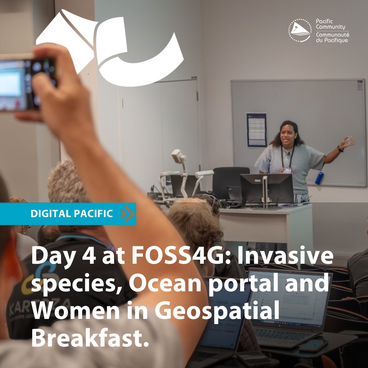
Day 4 at #FOSS4G kicked off with SPC-sponsored Women in Geospatial Breakfast followed by a discussion about SPC's DE Pacific role in identifying invasive species & its application.
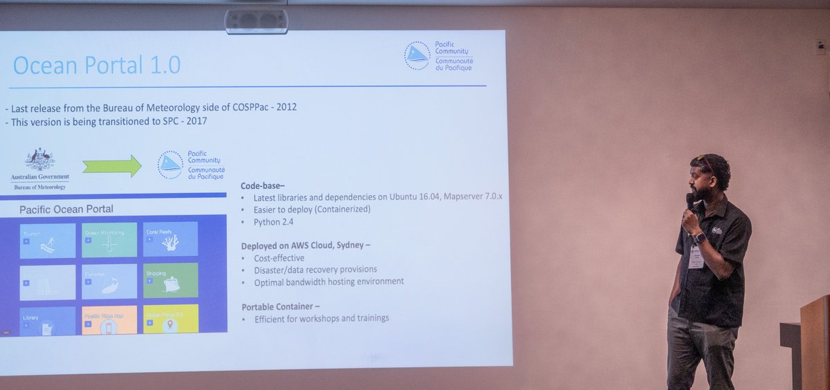
SPC also presented Pacific Ocean Portal 2.0, a transformative platform advancing ocean science
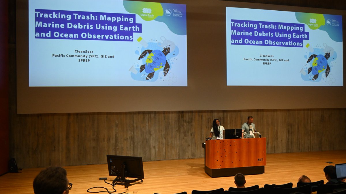
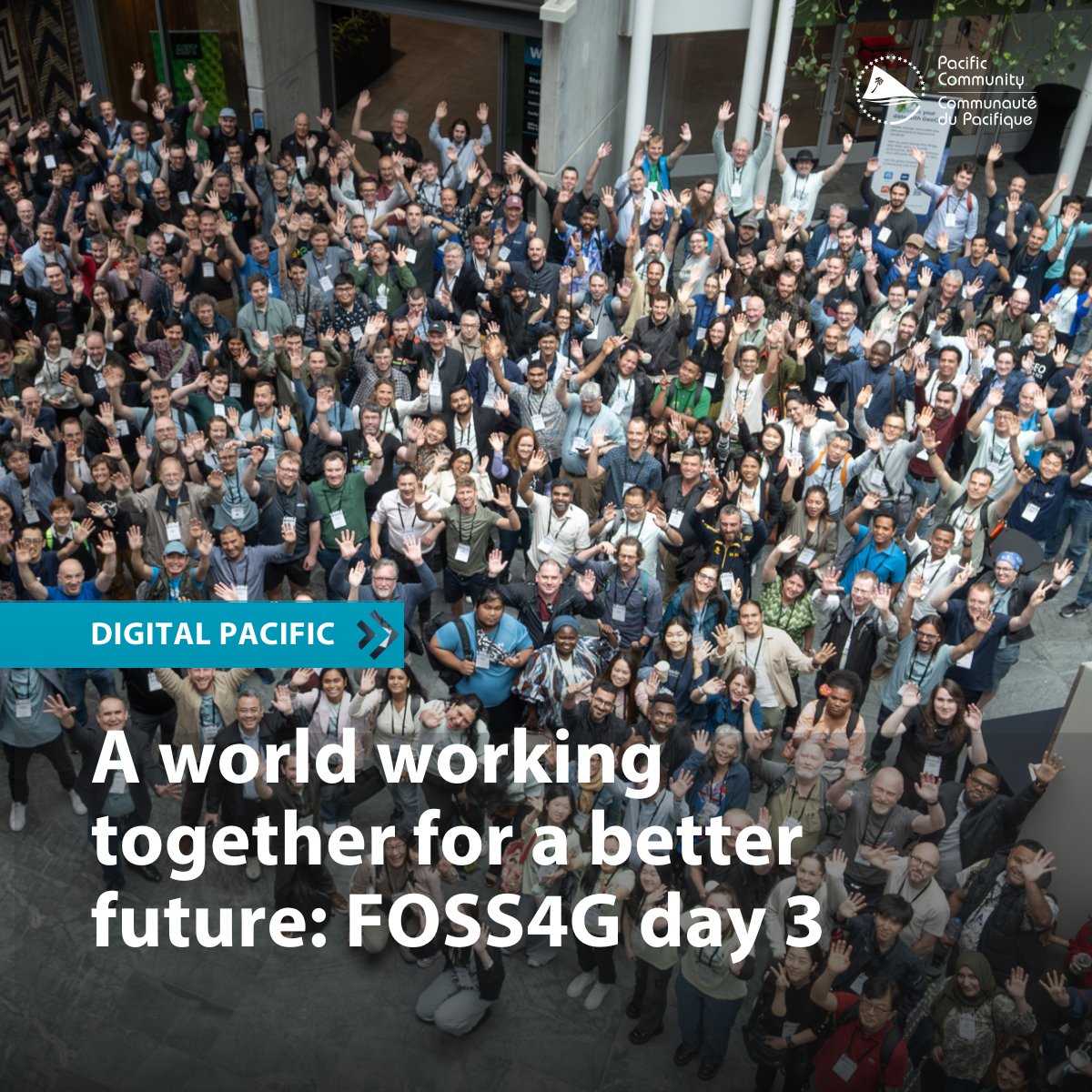
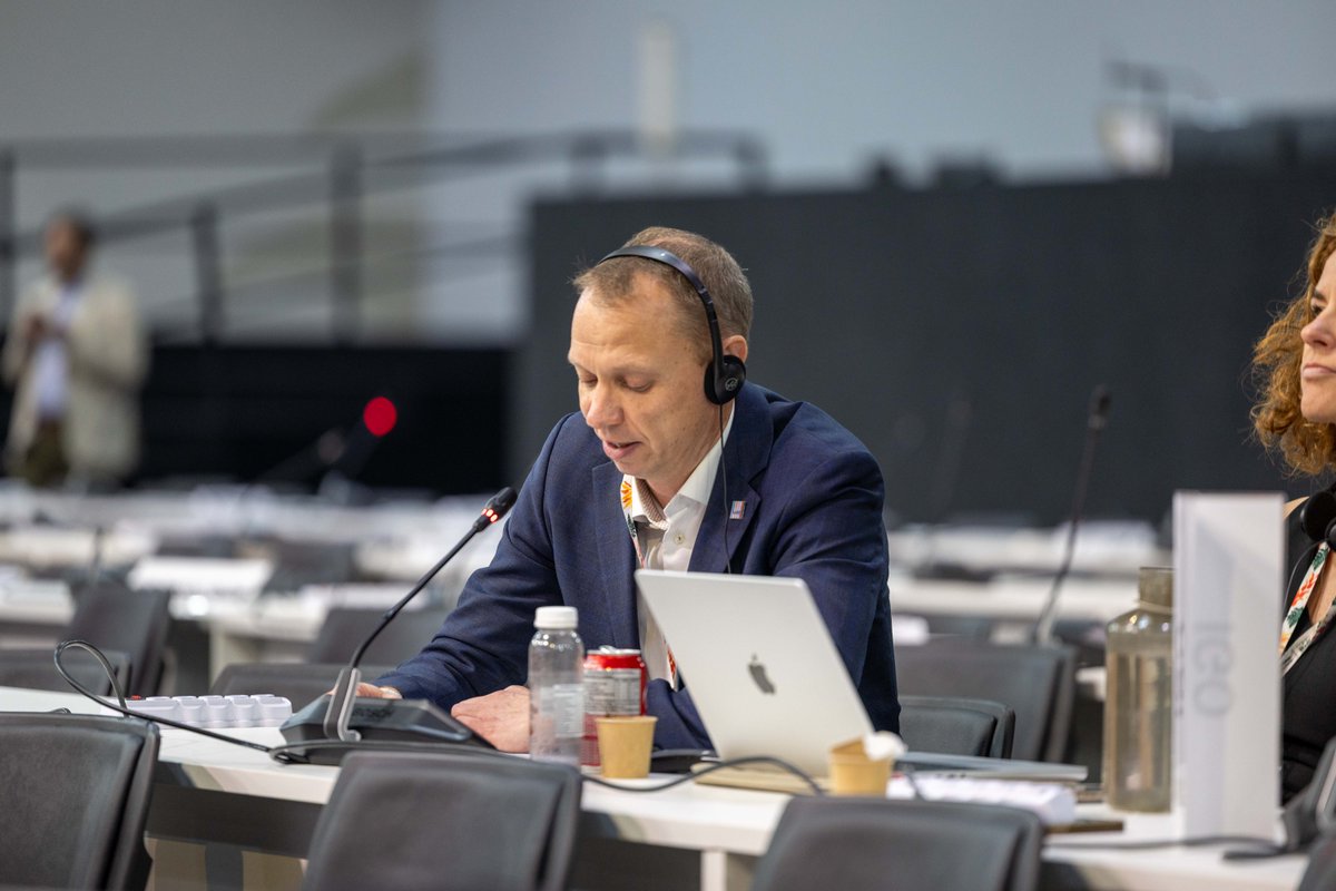
Day 3 of SPC's DE Pacific @ FOSS4G was about lightning talks, workshops & the upcoming project, CleanSeas, which is in collaboration with GIZ & SPREP that focuses on mapping marine debris using EOO for better waste management, policy improvements & stronger regional cooperation.
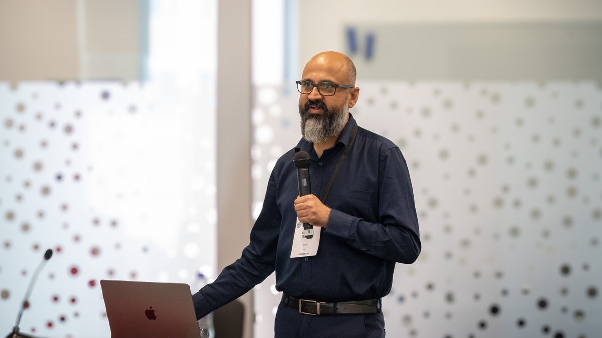
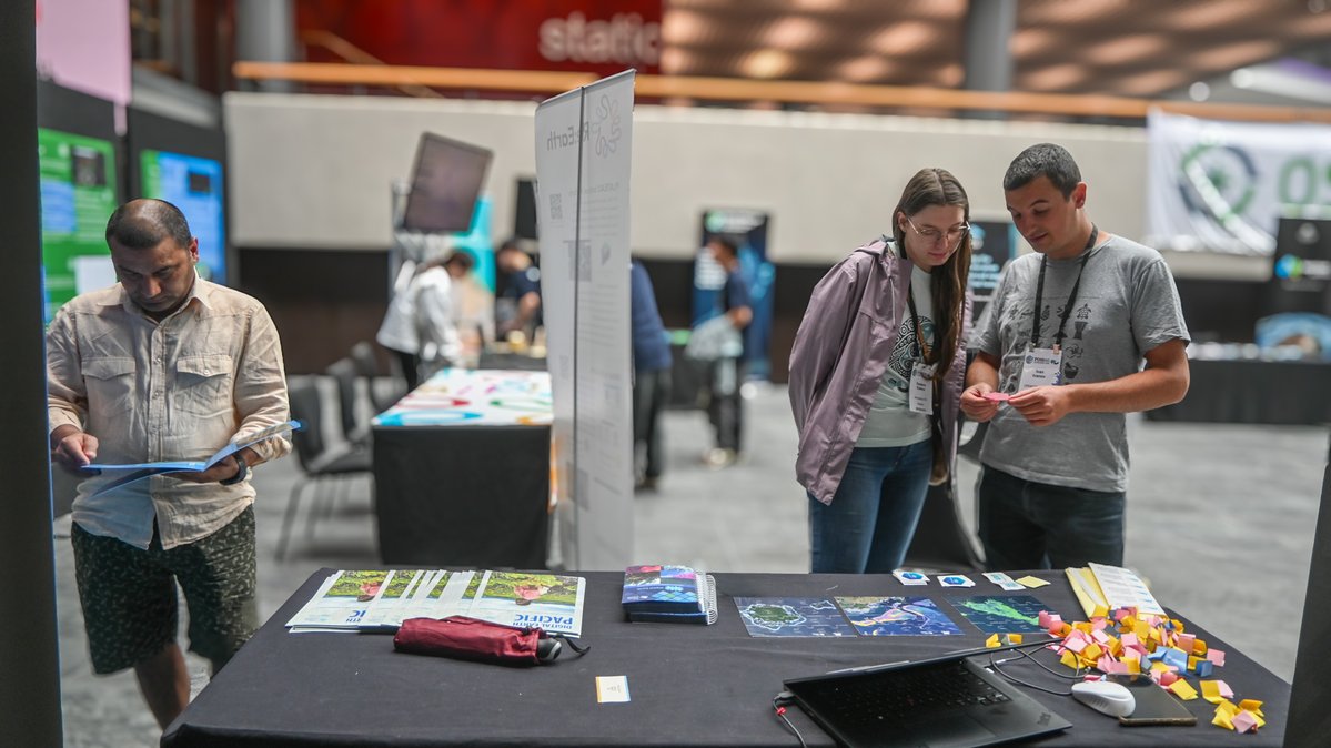
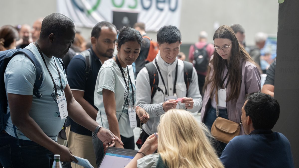
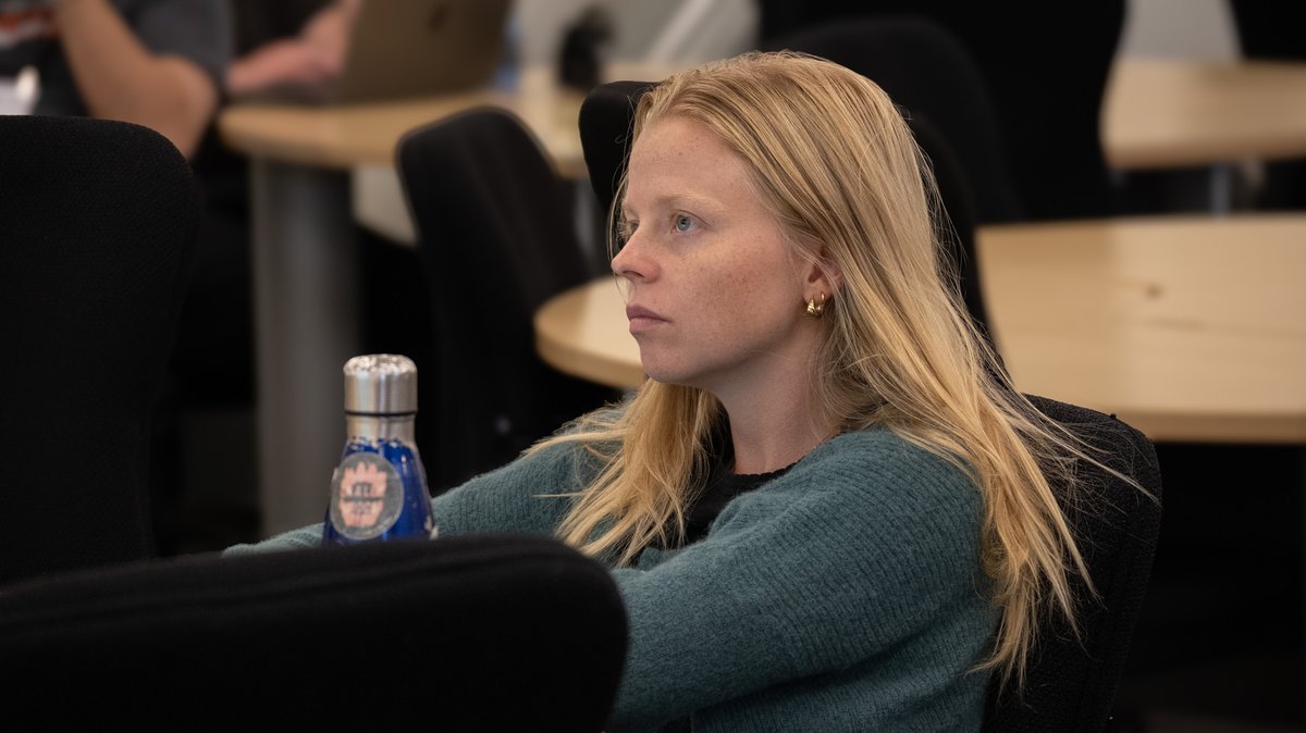
🌏 SPC"s Digital Earth Pacific team is well into Day 2 at FOSS4G, leading workshops, field visits to present DE Pacific in action and B2B sessions with partners across the region and the world.
Stay tuned for day 3!
#DigitalPacific#DigitalEarthPacific#DEPacific#FOSS4G
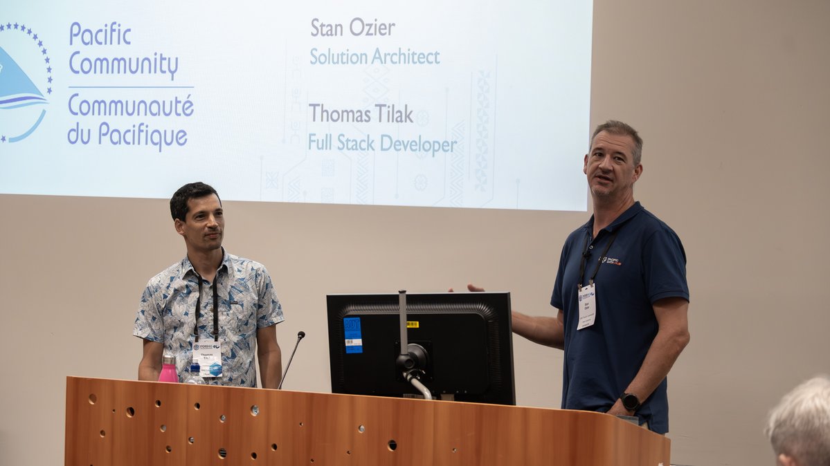
Day 1 of SPC's DE Pacific at FOSS4G started with learning sessions and discussions.
As an open digital public infrastructure, DE Pacific is about knowledge sharing as much as it's about learning from others. Today was a mark of regional and international collaborations.
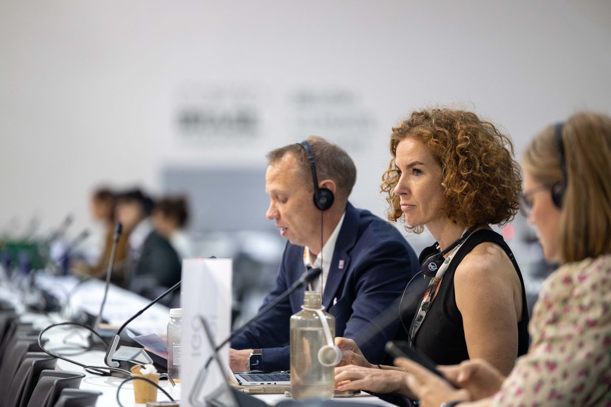
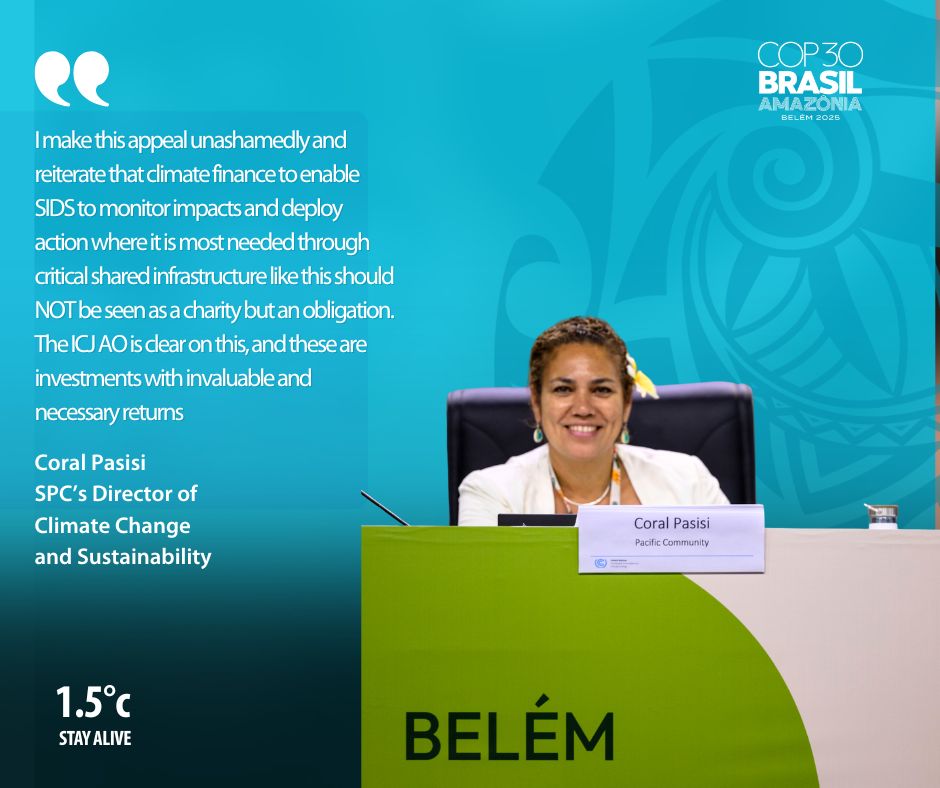
At COP30, SPC’s CCES Director Coral Pasisi, spotlighted how Digital Earth Pacific (DE Pacific), a Pacific-led, regional Earth Observation platform, is helping small island nations assess what matters most: economic and non-economic loss and damage (L&D) caused by climate change.
At FOSS4G, SPC will show how DE Pacific's open-source-first approach to geospatial tools, satellite data, and AI helps our Pacific communities make better,informed decisions for the future. We’re also hosting Women in Earth Observations breakfast, along with a series of talks.
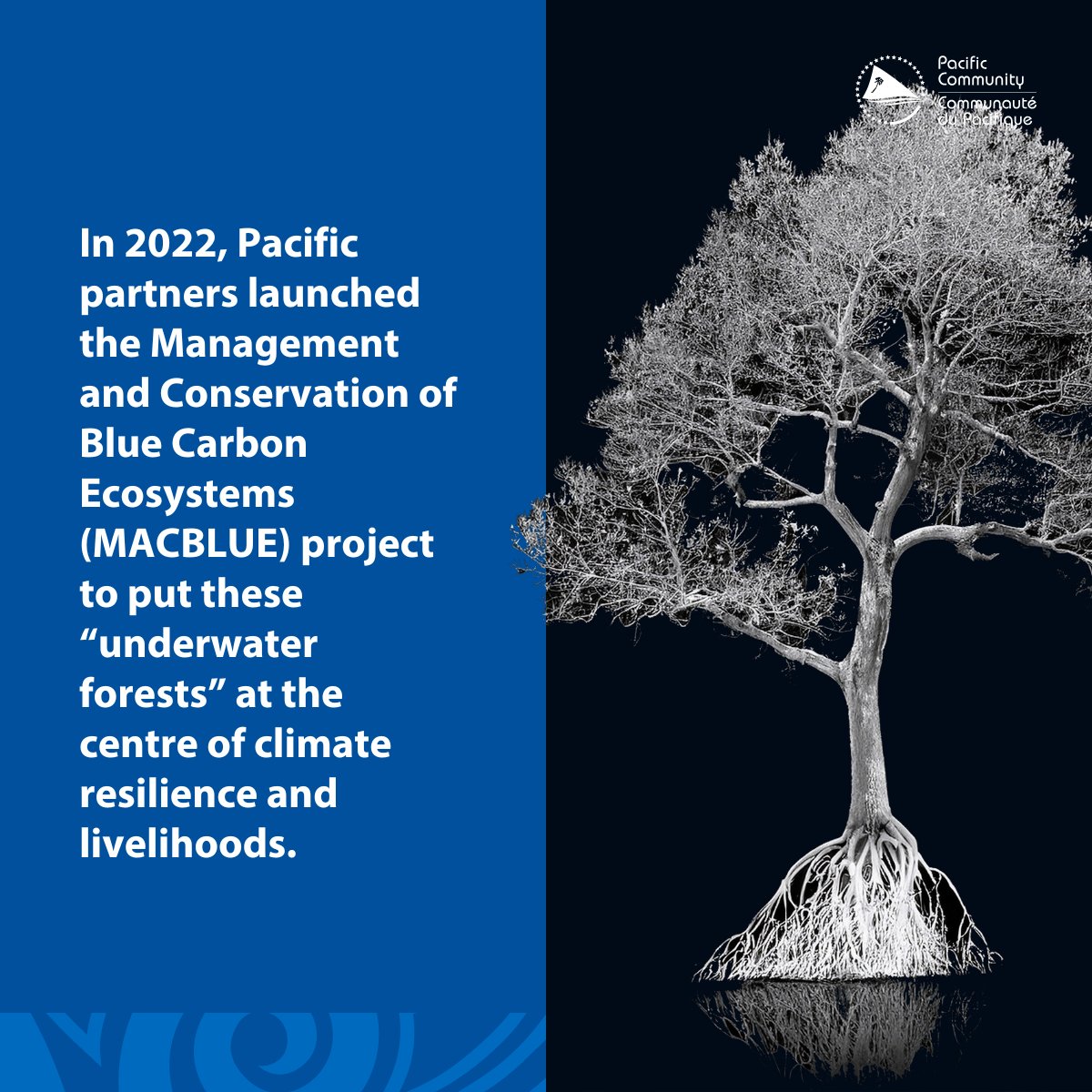
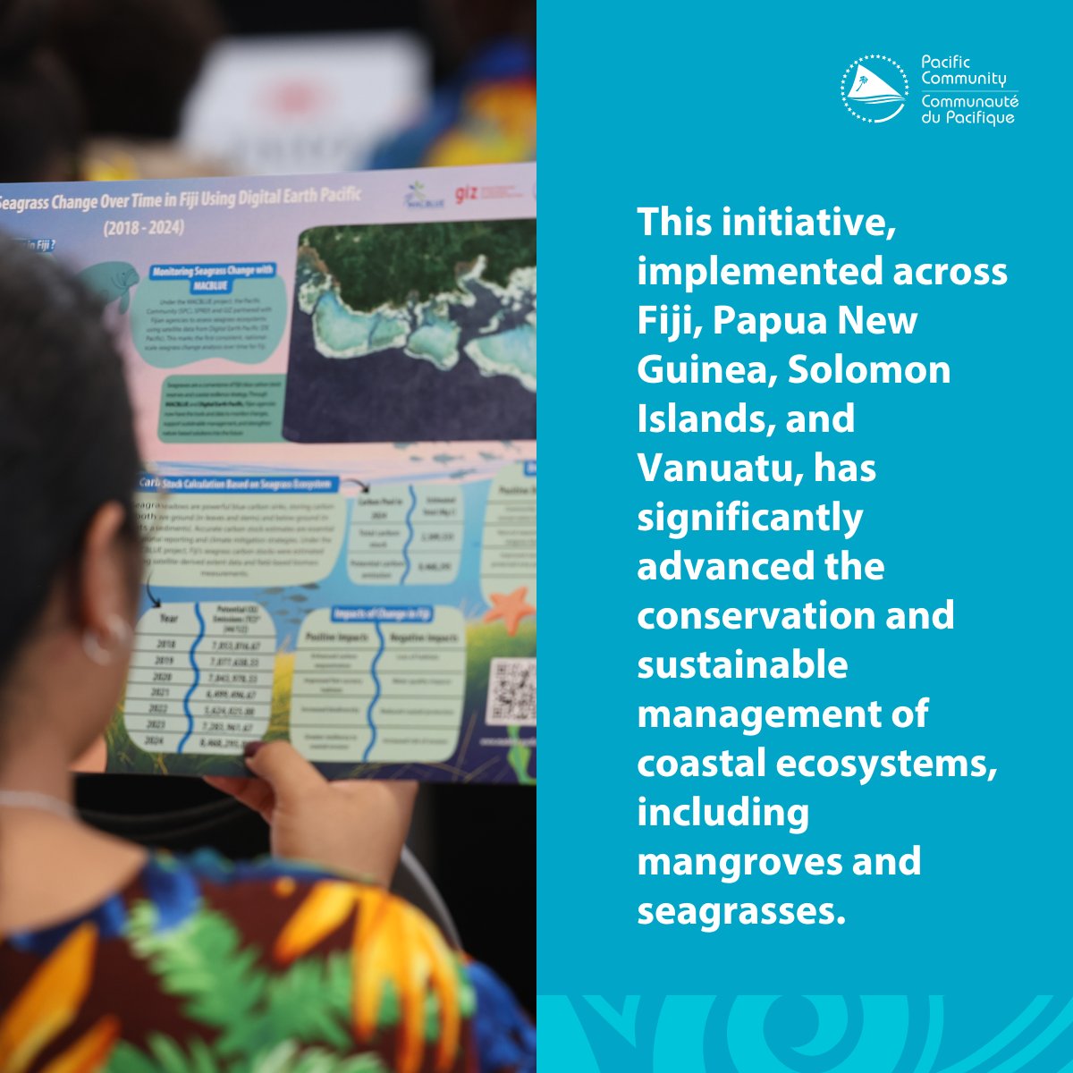
In 2022, MACBLUE was launched to put our underwater forests at the centre of climate resilience & livelihoods. 3 years on, the project is winding down, but its legacy will continue to ripple across Fiji, PNG, Solomon Islands, Kiribati & Vanuatu
Read more https://t.co/8BqKUPglOK
USD 3 million investment through a 4-year partnership, the Republic of Korea’s Ministry of Foreign Affairs, SPC, KIOST, and PIFs are working together to enhance how #EO data supports coastal and marine spatial planning in Tuvalu, Tonga, & RMI.
Read more https://t.co/wRwCw0ta44
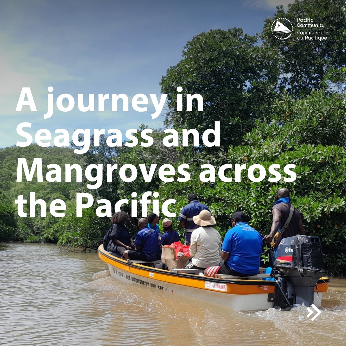
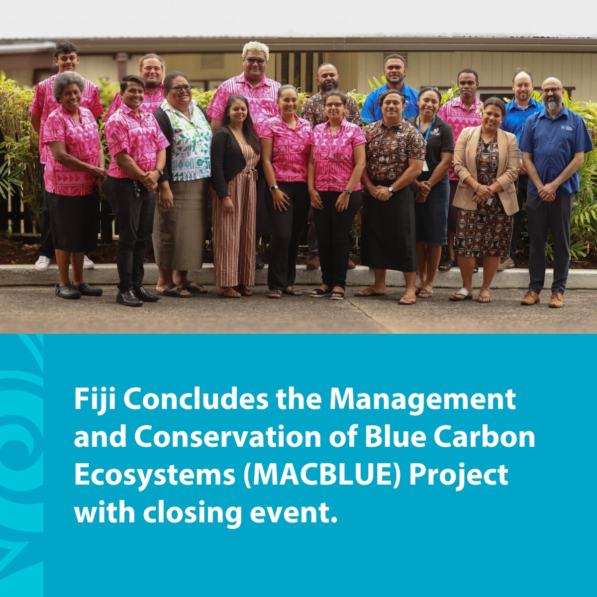
Read the press release about MACBLUE's ending ceremony, a project that impacted lives through work and our communities. Mangroves and seagrass are essential. Learn why
👉 Read more: https://t.co/6Xr7dpK8kb
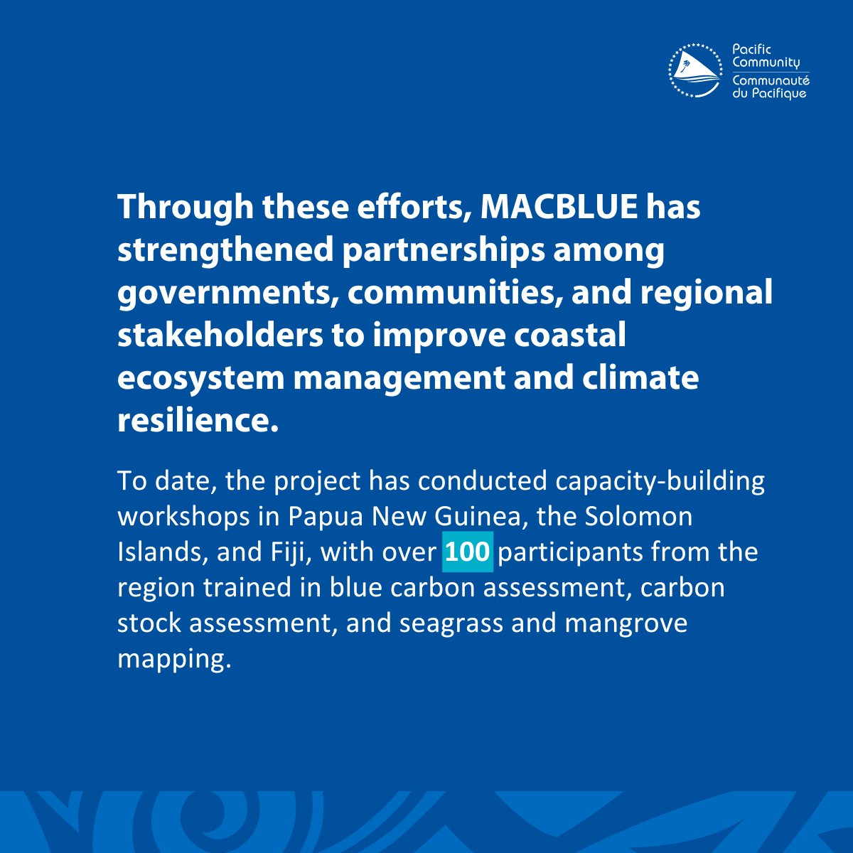
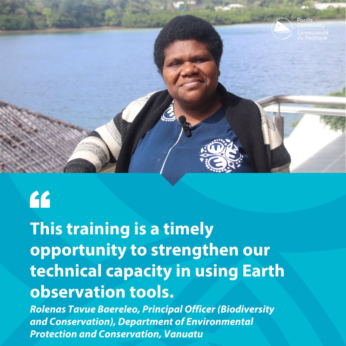
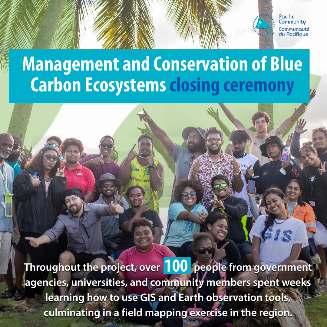
Did you know that the MACBLUE GIS workshop series concluded in Vanuatu in late June 2025?
The project, which drew over 100 participants from the region, yielded digital commons that complement traditional knowledge.
Learn more about the closing ceremony: https://t.co/2kfZHntbiI
SPC's DG was at the IAC 2025 to showcase how space technology and Earth Observation can strengthen Pacific resilience.
From bilaterals to panel discussions on SPC’s work through DE Pacific, we can support PICTs in having decision-ready tools designed with them, not just for them
" The ocean’s voice, the island’s song,
🌴 Urges us to stand strong, life-long.
⚖️ With law and love, we build secure,
✨ A future safe, a life pure."
Belyndar Maonia Rikimani,
Young Climate Activist and Poet
w/ @SprepChannel@TunaFFA, @PIF, @MFATNZ, @EUPacifika, @StateDept
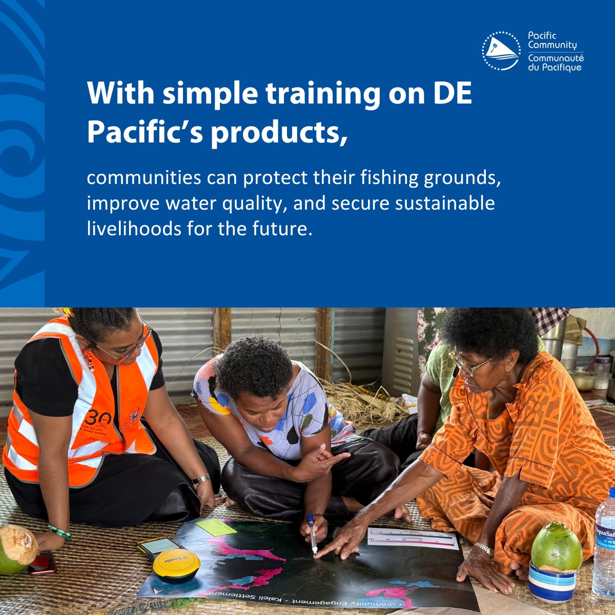
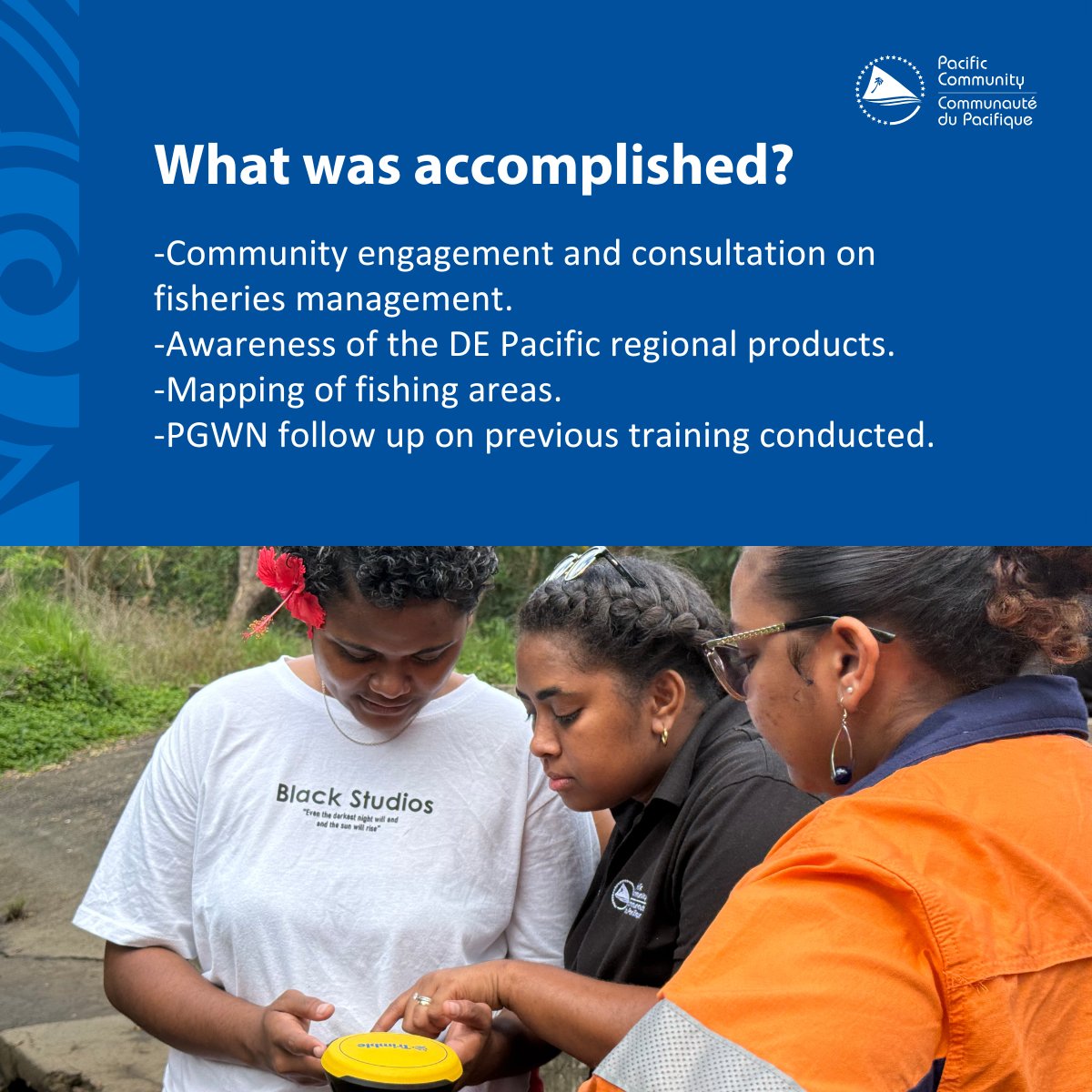
SPC’s PGWN and EOO programme joined forces with 17 participants (12 of whom are women) to engage rural communities in Fiji in mapping #seagrass and near-shore water depths, monitoring water quality, and strengthening community-led conservation efforts using DEPacific products.
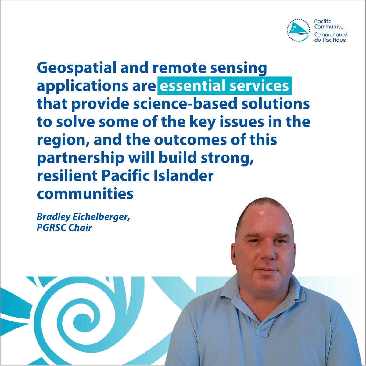
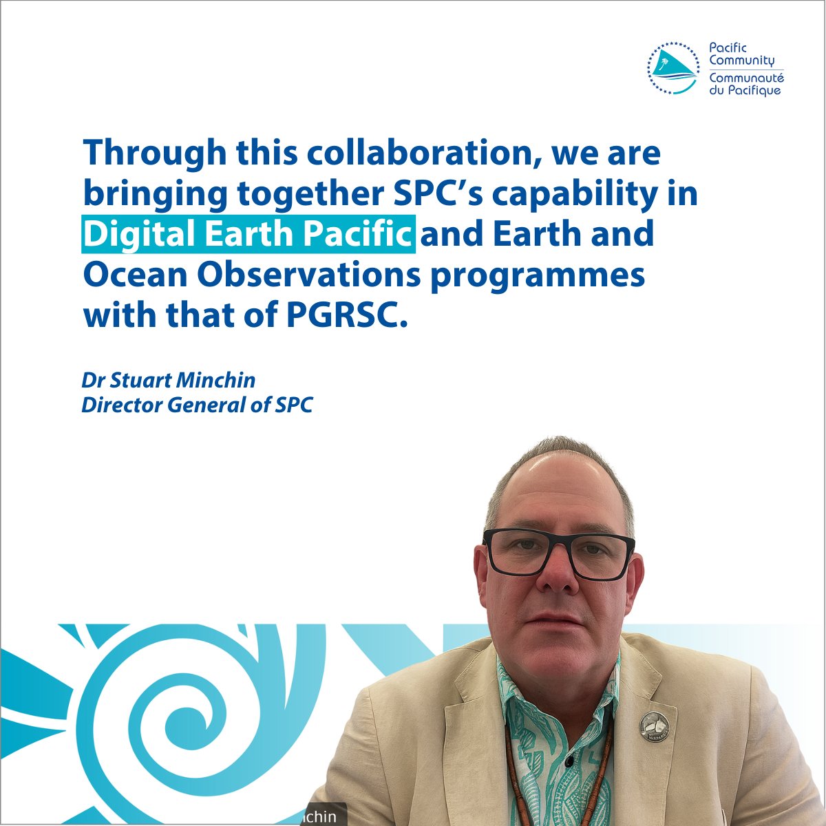
SPC and @PacificGISnRS have signed an MoU to take geospatial and Earth-observation work to the next level!
It brings together a practical framework for collaboration, enabling Pacific governments to utilise satellite data and mapping more effectively.
https://t.co/YrBPeCdblc
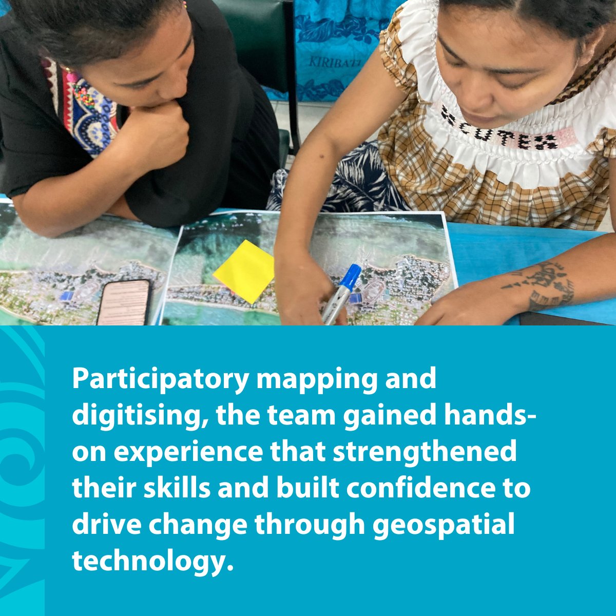
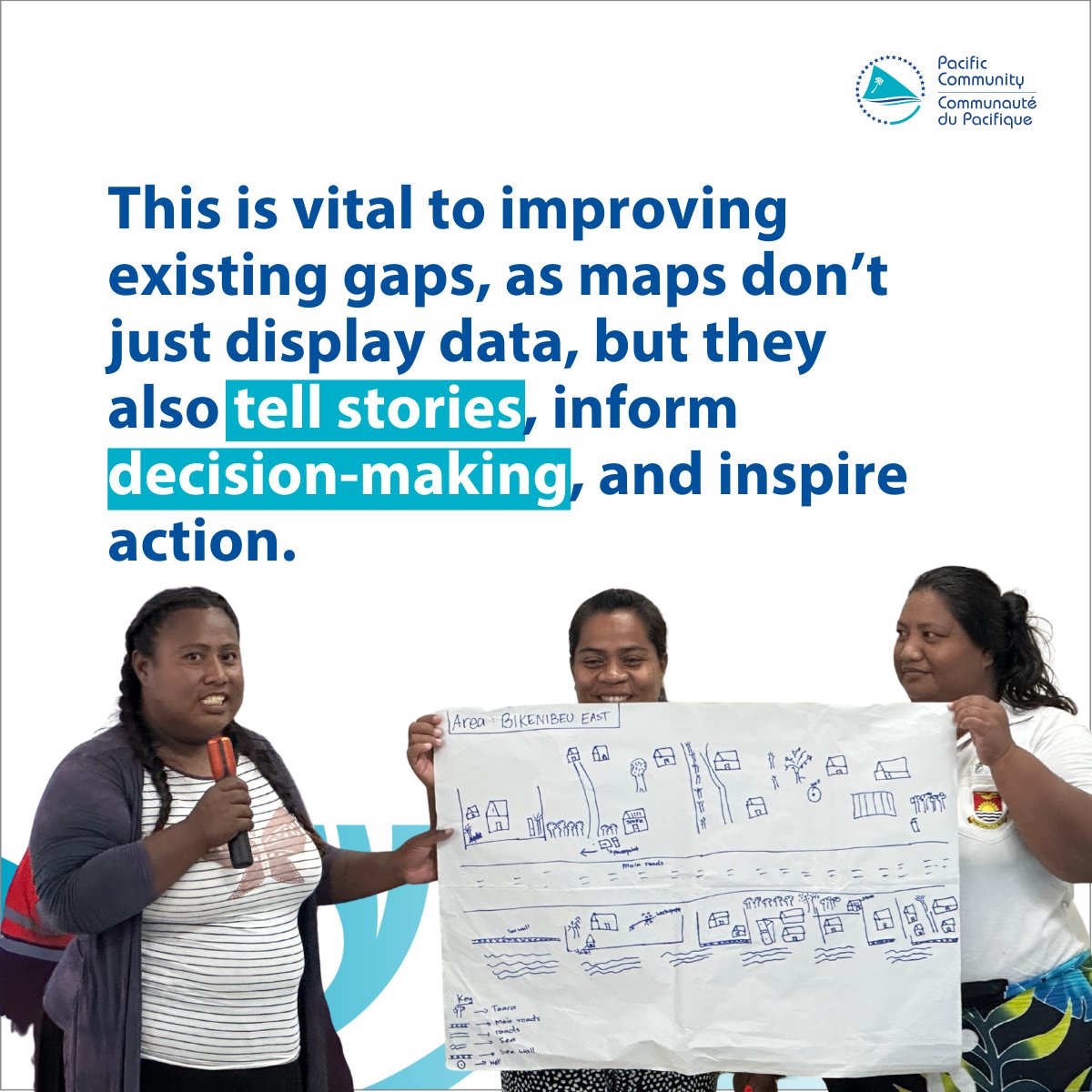
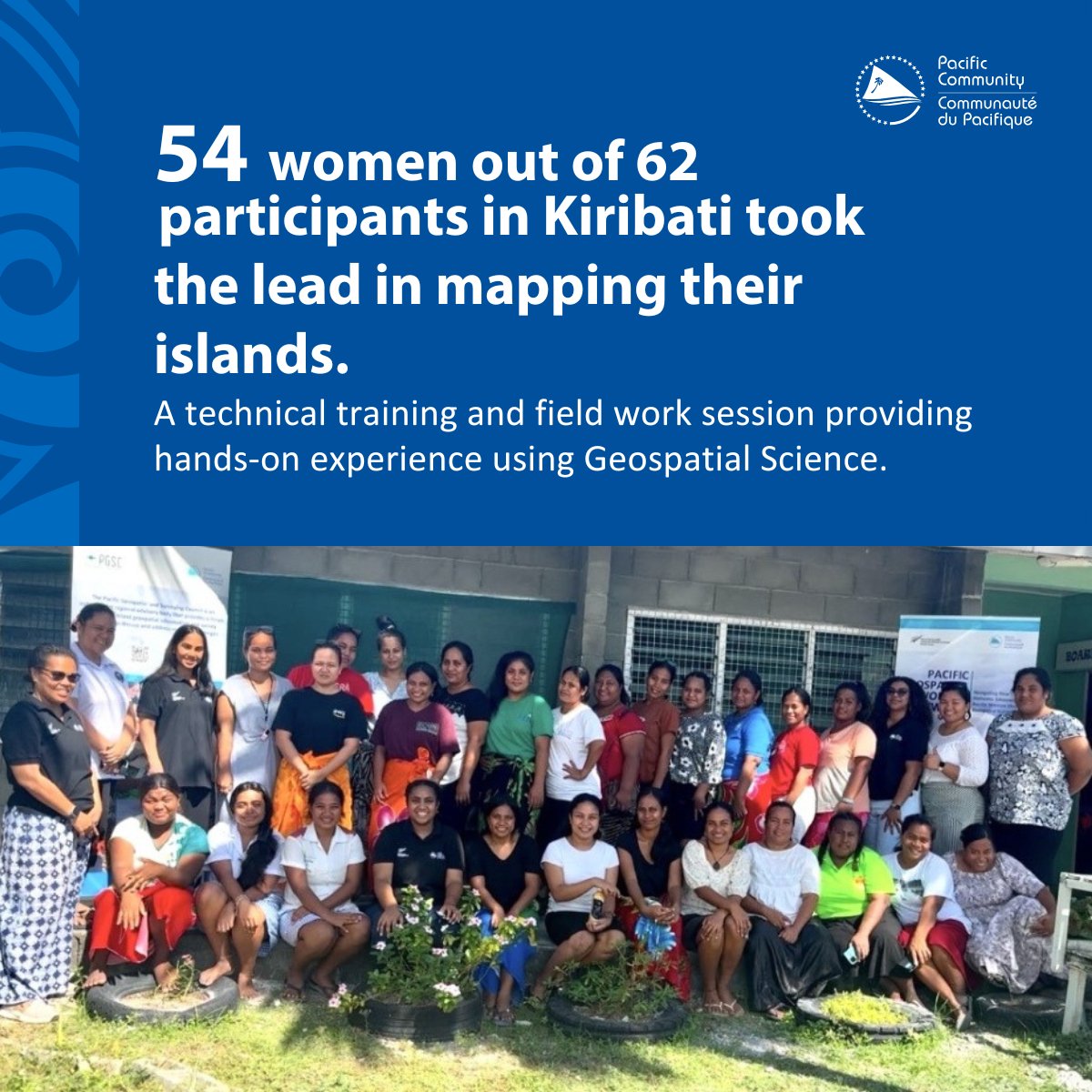
In Kiribati, 54 women out of 62 participants took the lead in mapping their islands
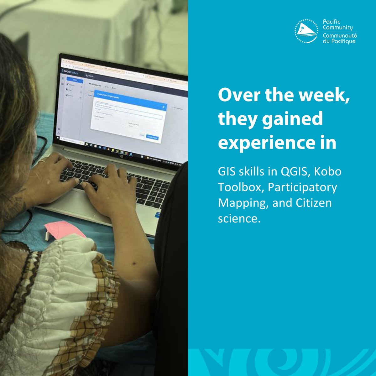
Across the week, participants learnt practical skills in QGIS, mobile data collection, participatory mapping, and fieldwork, including socialising DE Pacific and digitising mangroves.
#MACBLUE
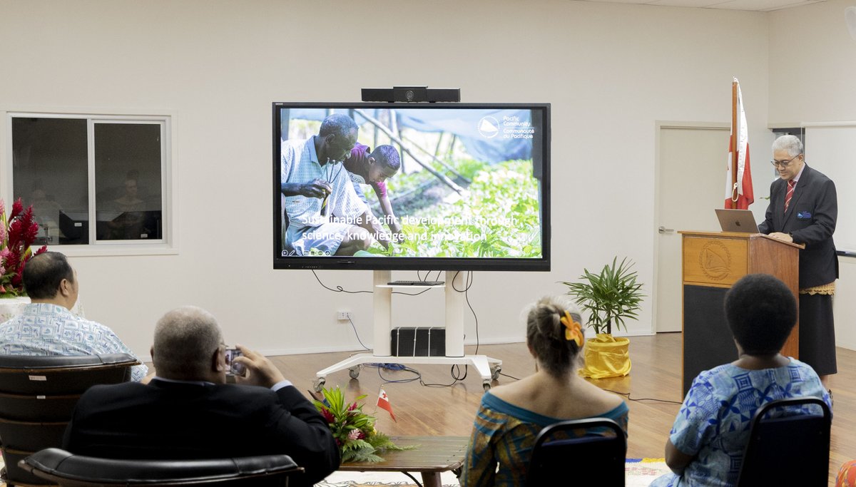
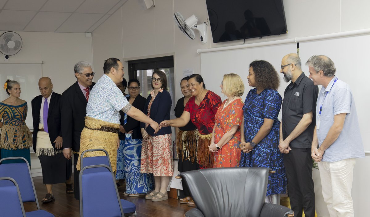
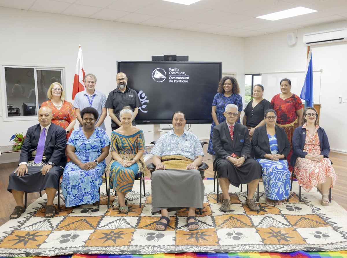
SPC was privileged to host His Royal Highness, Crown Prince Tupouto’a ‘Ulukalala, #Tonga's Minister for Foreign Affairs and Minister responsible for His Majesty’s Armed Forces today.
Science and technical work led by the #Pacific in action
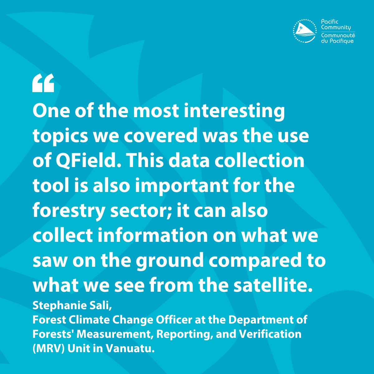
In continuation of MACBLUE's workshops on seagrass and mangrove conservation, the team has arrived in Vanuatu for a hands-on GIS and Earth Observation training session, utilising tools such as QField and QGIS through SPC's DE Pacific platform.
Read more: https://t.co/PIybDaDWIF