Much of Virginia is under a 2-5% tornado risk today through tomorrow. We are more than halfway through the year and are yet to record a single tornado. How rare is this? See the charts below to look at how 2026 compares to prior years going back to 1950.
@MatthewCappucci@EMoriartyWX any idea how deep down a small SUV (e.g. RAV4) would have to be buried in thick mud to make it unlikely for an EF-2 tornado to be able to lift it? I've actually really been wondering this for several weeks now. I assume all the way up to the frame/axle (so no air flow underneath) wouldn't be enough?
Always a good idea to be extra safe when dealing with HP monsters. My main chasing rule is stay out of precip. I saw the tornado and then it quickly went rain-wrapped. Was going to try to keep up with it on the east road through Charleston. I hit a red light though and then (wisely) decided to bail to the south. Still got scraped by the edge of the RFD. Once it passed and I went back north there were several trees down across the road I had just driven south on.
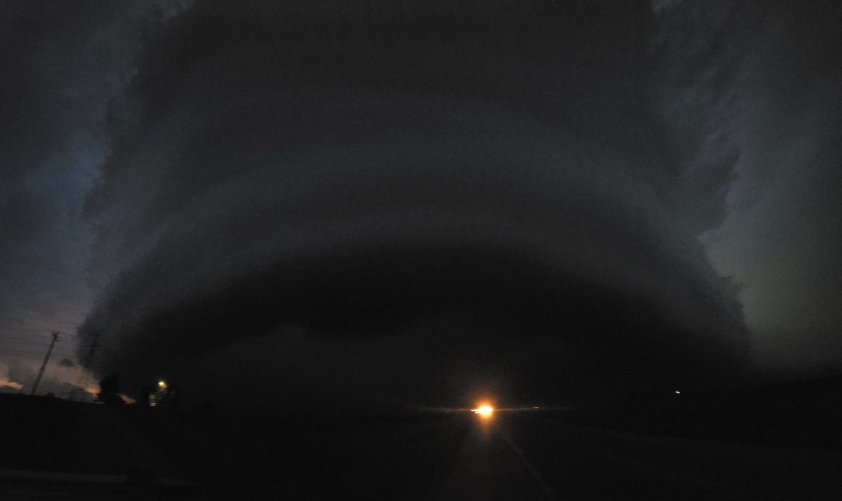
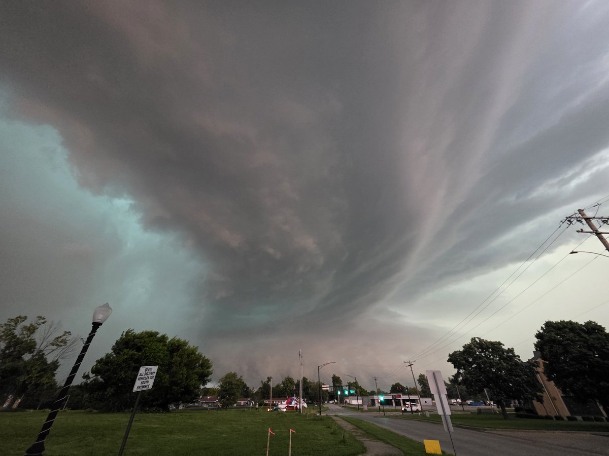
This was the view of supercell that produced the rain wrapped tornado in Charleston, Illinois last night. With my years of experience I decided to flee to the south and move well away from both the tornado and RFD.
Many storm chasers could not escape and were overtaken by this storm as it moved quickly through the large town. It's a matter of time until there is a mass casualty incident where there is no escape.
I will say this as clearly as I can.
"It's ok to be scared of storms and to run".
Some storms have a mind of their own and shall decide your fate for you.
There is NO shame in fleeing and missing out on the next viral weather video.
If your senses tell you to run, you should have made the decision at least 30 seconds earlier.
After this storm moved through town I, @VinceWaelti Greg Ansel and other chasers returned and assisted assessing damaged buildings and clearing the roads supporting the local emergency response.
Well done to all the chasers on other storms across the state who had the training and will to stop and assist those in need following these tornado events.
@NWSLincolnIL #ilwx
What a day. Sent this to @forecaster25 saying the environment was cooked and then literally 4 minutes later it was non-stop tornadoes for the next 2 hours.
Drill bit action on the Effingham, IL tornado. Was able to sit in this exact spot where it crossed the road a few minutes later as I dropped 200 yards farther south.
I actually won't mind the fast storm motions tomorrow. When the rare Virginia tornado happens, it is usually screaming past at 70-80 mph in a HSLC type setup. Tomorrow looks like 55-60 mph so should be quite manageable. I think the faster storm motions tomorrow will help with the chaser convergence though. Chasers used to 25 mph motions will get left behind quickly. Still, I am going to try to stay on back roads as much as possible given I've had good success avoiding convergence doing this in the other high-end setups this year.
This HREF dewpoint map is about as good as it gets for supercells/tornadoes here in Virginia. As is usual, however, morning connection will have a big impact on the ceiling of this event. I feel confident saying there will be several supercells in southern VA/northern NC. Tornado chances will depend a lot more on where the destabilization happens and if we can get environmemt recovery right on the low in central VA north of I-64 where the surface winds are backed.
Decided to look at a few other model forecasts at 12z Monday morning and we see the exact same thing. Long straight hodographs with very uni-directional shear vectors. And this is *during* tornado hour at 23z in the middle of the moderate in SE Missouri. The nam3k is the only one with a nicer curving shape.
Admittedly, I am a chaser and not a meteorologist, but I can for sure tell you that this is not what I want to see when chasing tornadoes.