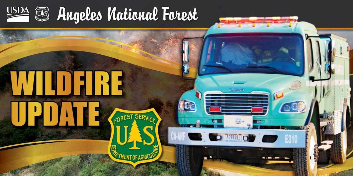
With rain on the way, San Bernardino County has pre-positioned additional engine companies, heavy equipment and hand crews. Rescue personnel are standing by for swift-water responses.
These resources will remain in place for the duration of these storms. ^rb
Evacuation Warnings have been issued for the San Bernardino County area of Wrightwood. It is also reported that Evacuation Orders have been issued for the Los Angeles County area of Wrightwood. Stay informed and updated.
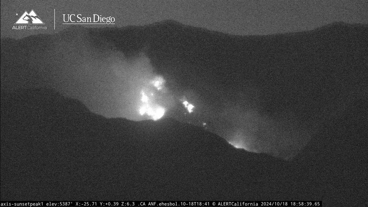
#HughesFire
Acres: 3,400 acres
Containment: 0%
Evacuation ORDERS issued for:
-Castaic Lake
-Ridge Route
-Paradise Ranch Rd
-North Lake Elementary
-Sloan Cyn Rd
-Green Hill Drive
-Hill Crest Park Way
-Romeaow Cyn Drive
-Hasley Cyn
-Canebridge Area
-Charlie Canyon Area
Current Road Closures:
-Lake Hughes exist routes (south & north)
-Ridge Route Rd at Lake Hughes
-Ridge Route Rd at Templin Hwy
-Lake Hughes at Pine Cyn
-Dry Gulch at San Francisquito Cyn Rd
-Golden State Freeway
-Bitter Cyn
-Sterling Lane
⚠️Extreme Fire Danger Alert:
The fire danger level is EXTREME at the Angeles National Forest.
🔥Reinforced Resources:
The forest has prepositioned additional firefighters and aircraft to ensure we are #ReadyForWildfire.
Stay vigilant and prioritize safety! Visit the forest fire restrictions website before every visit: https://t.co/yRBEhwImyQ
The Wildfire Crisis Strategy is a call to action! During the Bridge Fire, the @forestservice, along with other agencies and community, members worked together to save lives, structures, and ecosystems. Years of vegetation removal in strategic locations was key to their success.
🔗Learn more about the Wildfire Crisis Strategy in Southern California: https://t.co/omj4nsnqTk
🔗Read more about the Bridge Fire: https://t.co/2VWin55Ebu
USDA Forest Service Video by Veronica Verdin
@yourpswforests@R5_Fire_News
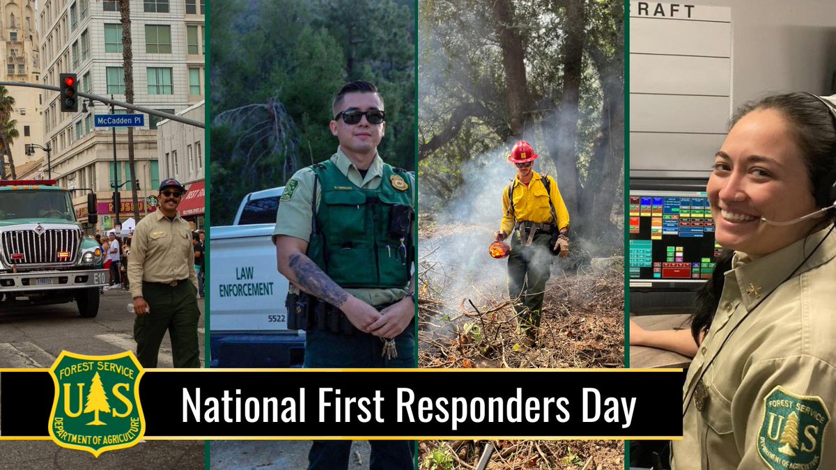
🌟Honoring National First Responders Day🌟
Today, we take a moment to express our gratitude to the brave men and women who serve as first responders. These heroes put their lives on the line every day to keep our communities safe and forest healthy.
Join us in honoring our first responders today and everyday! Share your stories, photos, or thank-you messages in the comments.
#BridgeFire
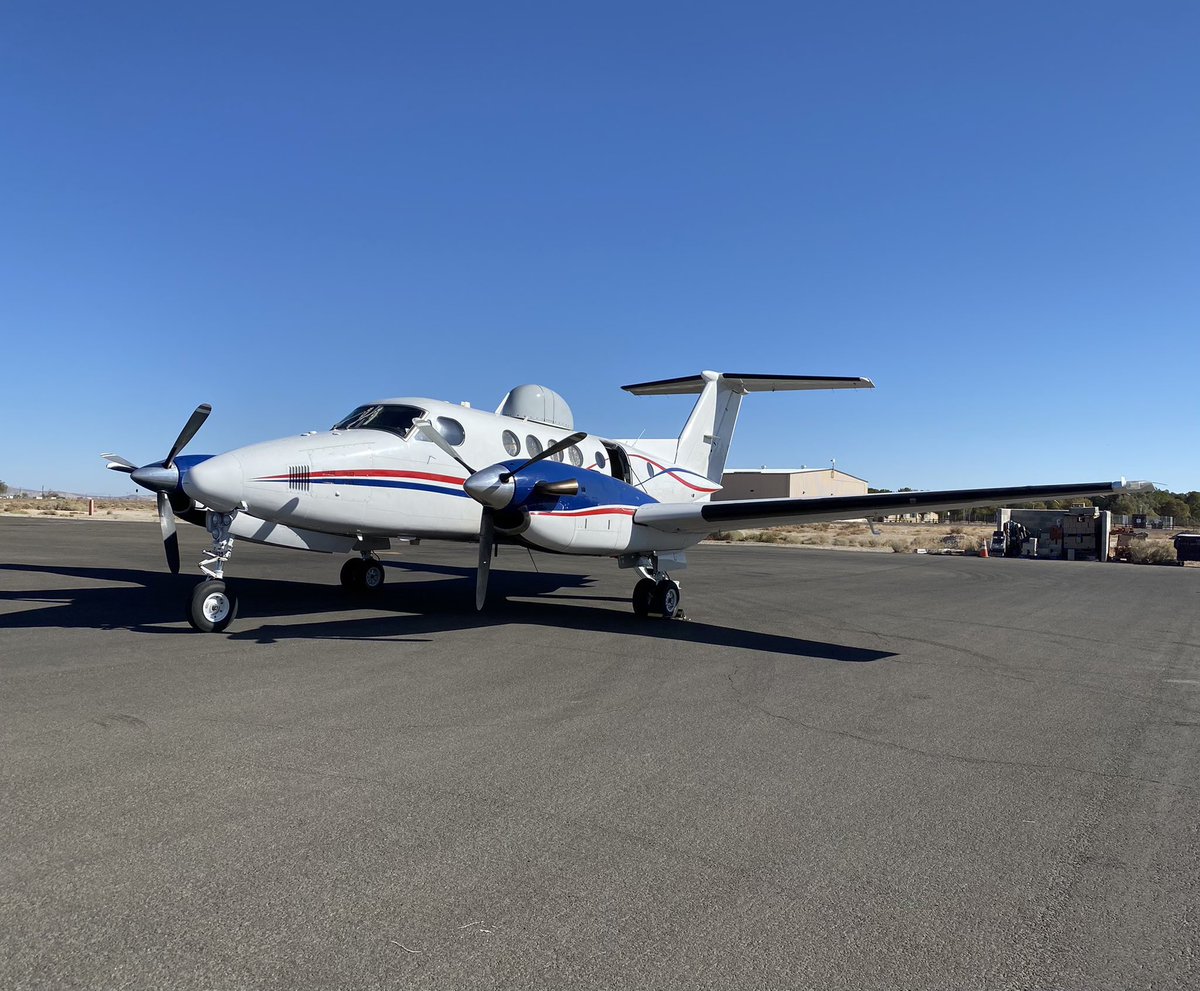
Angeles National Forest #firefighters use the latest tools and #technology available to gather information and assess risk. These images were taken during an overnight reconnaissance flight by our air attack plane. Today, firefighters will continue to secure the containment line by identifying heat sources with the potential to spread to unburned fuel (grass, brush, trees).
White dots on the maps show hot spots.
🔗Stay up-to-date https://t.co/wWegebwxie
#technologynews #techtools #wildfire #firefighter
#BridgeFire
Improved weather conditions, primarily a significant reduction in winds, have enabled firefighters and aircraft to make progress at limiting the Bridge Fire's spread and securing the fire in its current footprint. Extensive aerial delivery of fire retardant in the last two days has contributed to this progress.
If you see smoke or flames, dial 9-1-1 to report it. Unburned brush, trees, grasses, etc., may continue to flare up and smoke could be visible from within the fire's perimeter for some time.
🔗More info: https://t.co/wWegebwxie
#BridgeFire
Firefighters continue to work in difficult conditions primarily focused in the Iron Fork Cyn area.
Due to improved weather with less wind:
✅ State Route 39 (San Gabriel Canyon Rd) is now OPEN to the public.
If you’re watching tonight’s Dodgers Game, smoke can be seen drifting across the LA Basin from the #BridgeFire.
🔗More info, visit the forest InciWeb: https://t.co/wWegebwxie
#BridgeFire
Today firefighters worked to engage & contain fire in the Iron Fork Canyon area via aircraft and on the ground. Throughout the day there was minimal growth of acreage within the fire contingency line. Fire continues to burn in the Sheep Mountain Wilderness within extremely steep rugged terrain. Tonight aircraft will continue to drop water on hot spots.
State Route 39 (San Gabriel Canyon Rd) remains temporarily closed until further notice (only residents/property owners with proof are allowed in).
🔗More info, visit the forest InciWeb: https://t.co/wWegebwxie
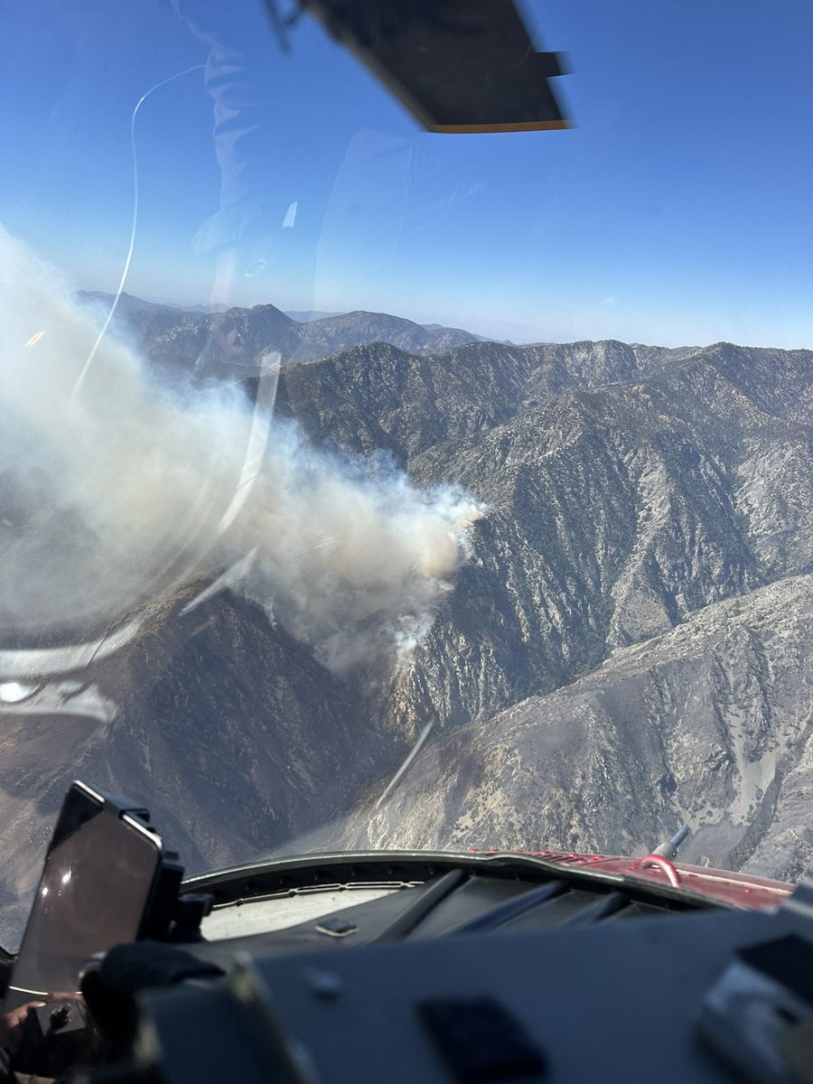
🔥Forest firefighters have been responding to many reports of fire/smoke within the #BridgeFire burned area. Aircraft flew last night in very challenging conditions to drop water/retardant on hot spots. Firefighters are hiking in very steep rugged terrain to assess Iron Fork Canyon area.
🔗More information, visit the forest InciWeb: https://t.co/wMwL454Irr
#BridgeFire
With strong Santa Ana winds, firefighters are actively monitoring increased smoke coming from the Bridge Fire in the Iron Fork Canyon area. This is in a remote area of the Sheep Mountain Wilderness.
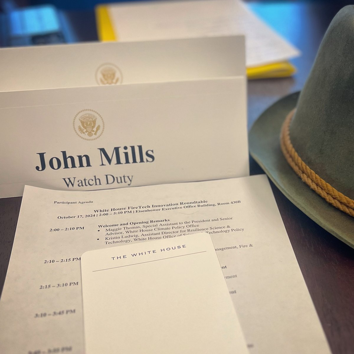
"It was an honor to represent Watch Duty and my wildland community at White House yesterday. We’ve made great strides in the last few years and the feds are starting to notice but we are still living under the constant threat of wildfire in our backyards.
In fact, while I was sitting there I couldn’t help but think about the red flag warnings and planned safety power shutoffs that are occurring across my community in Sonoma right now. The howling winds under the cover of darkness reminds every Sonoman of the night of the Tubbs, Kincade, and Walbridge Fires that ripped through our towns.
Those nights changed us, they scarred us, but they didn’t break us. Those nights brought together an unlikely group of radio operators and engineers to cope the only way we know how — build and fight.
Now when we have those dark and windy nights we only get closer, stronger, and with more unstoppable purpose than the night before. From our homes in the wildlands to the state’s or nation’s capitol, we will not stop fighting for our community in the American West."
-@johnclarkemills, CEO and Cofounder @watchdutyapp