@terrybnd Yes, seen this one doing the rounds over recent months. The Lake District is the last place that needs 'enhancing' on photos...hard to take a bad shot up there! Authenticity in photography is becoming an increasingly important asset.
@anna__bella_k Driven past them so many times, often en route to Cumbria or N Yorkshire. Looks some great scenery. They are a real rain magnet / enhancer, as they are the first mountains the moist SW'lies hit, passing up through Irish Sea and then Morecambe Bay. U picked a good day!
@Channel4News Interesting to see on Google images that between Aug 2021 and Aug 2023, some major roadworks were carried out (water?) right at the sinkhole site. Suggests whatever work was done at this point was done badly, presumably a leak washing away the sandy subsoil?
@leebosher Used to drive along here regularly between 2014 and 2022 when I lived in Caterham. Interesting to see on Google images that between Aug 2021 and Aug 2023, some major roadworks were carried out (water?) right at the sinkhole site, AFTER the property (left) was finished.
@airplusnews Looks like starboard undercarriage collapse on landing? Did seem to land on that side first. Not sure if ice played a role on contact, not clear.
@NickJF75 Seem to recall the seeds of the surface low that formed Storm Éowyn
originated from the low pressure system that brought snow to New Orleans a few days prior?
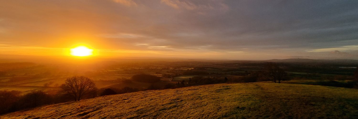
@Petagna We missed the sun that the Exeter area grabbed last Sunday. It was the worst weekend of the winter with, low light levels, hill fog and then persistent cold rain and drizzle.
Today's sunshine was much needed!
@peacockreports The pattern in 2nd half of Feb 2019 was quite incredible. 21C in UK. 22C in N France. And then a similar southerly 'heat pump' in July 2019, too! Interesting Feb 1998 and 2023 also had a very warm Feb in Cent EU, off the back of an El Nino winter.
@DaveThroup Definitely dodged a big flood event this winter, after the incredibly wet autumn. Had we seen a sustained low pressure track over the UK (like last winter, or 2019-20) it would have been terrible. Need the warm NE Atlantic SSTs to cool off a bit this year to reduce wet risk!
@DaveThroup It's been a odd winter so far over Europe, with a lot of variability.
Warmest January globally, but notable for several US cold plunges East of Rockies. But lack of sustained westerlies N Europe. Feels like we have dodged a widespread flooding bullet in UK, after v. wet autumn.
@PaulBlight6 Will be interesting to see how this establishes and if the high retrogresses with time. The Scandi Block signal in the models back in mid Jan for late Jan didn't quite bed in. But signals a bit stronger at shorter lead time, on this occasion.
@RoostWeather Nicely in line with model expectations for location of those 120mph+ gusts over the sea, west of Galway and Kerry. Galway bay area residents looking down the barrel of an extreme few hrs!
What a monster. The wintertime N Atlantic at its most ferocious. Very strong jet stream via the recent USA cold plunge, NE Atlantic SSTs widely near record warmth, surface low originating from deep subtropics, sharp 500mb shortwave upper trough from Greenland. Fireworks!
Classic Bullseye very dark purple centre beginning to appear in AIrmass imagery, showing intense Vorticity in Centre of #StormEowyn ,
The mass ascent on the forward side creating latent heat release, lowering tropopause , the strongest winds will form just to the S/SW of developing wrap around as the squeeze in winds occurs as they push down through the troposphere.
#StormEowyn looks as bad as i have seen in a very long time on imagery this evening.
Also some evidence of a double cloud head which is ominous sign seen in only the most intense developments and a sign of intense evaporation as the strong winds descend to the surface.
It is looking every bit as bad as feared this evening folks.
Shannon Radar already seeing the 1st sign of the rain arriving in SW Ireland
@PaulBlight6 Very damaging for Glasgow and western end of the Central Belt if that verifies.
A few notches up on 8 Dec 2011 storm, the infamous "Hurricane Bawbag!!"
One of the coldest weeks in Texas in the last 30 years, aided by a decent and rare snowfall in SE Texas (into Louisana). But not as cold as the infamous mid-Feb 2021 cold plunge, that caused chaos with power supply and demand. https://t.co/JjHTJtJ4lr