Survey Max is an authorised GeoMax and GeoSLAM distributor. Modern solutions for surveying and engineering. Scanning, robotic and GNSS specialists. Nice people!
In the UK GeoNet uses exclusively the #OrdnanceSurvey (OS Net) base station infrastructure. OS Net is a highly accurate and resilient network of Global Navigation Satellite System #GNSS base stations across Great Britain
Read more about #GeoNet
https://t.co/SMfSVWbzW6
Survey equipment doesn't have to be expensive and complicated
#Zenith06 is an easy-to-use and compact RTK rover, perfect for utility surveying and asset positioning
Read more
https://t.co/yWSMNLjFPh
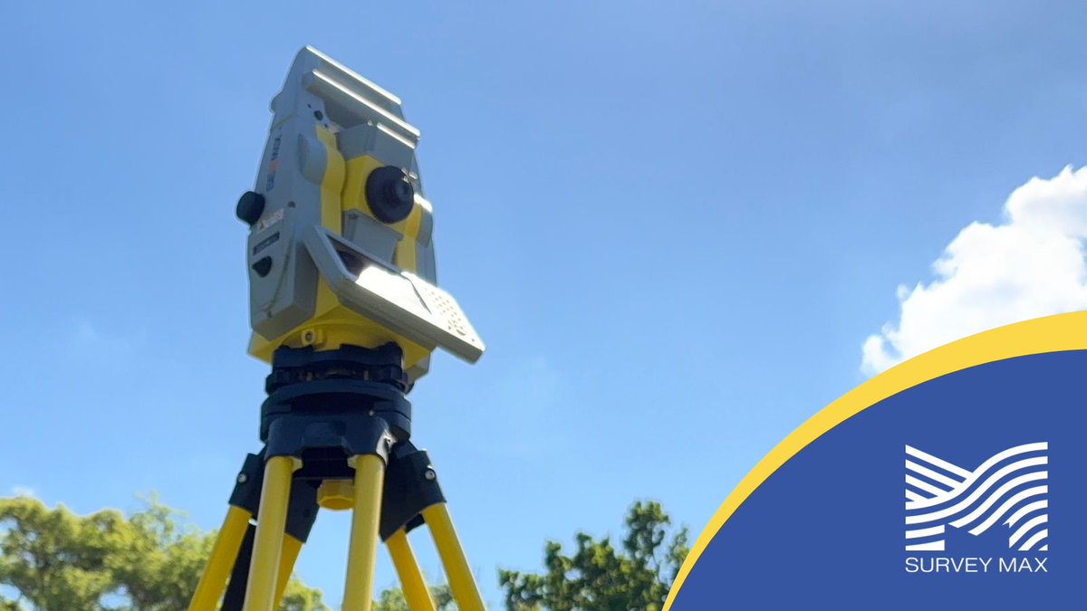
Surveying complex structures becomes exceptionally efficient with the #GeoMax#Zoom95 with its advanced STReAM360 system. Upload and edit CAD plans into the onboard X-PAD Ultimate Software
Download the catalogue
https://t.co/DYZtBIFPkO
Upgrade your field performance with the #Zenius08 Faster more powerful and built for the future with Android OS upgrades. Featuring a high-speed 8GB RAM, 256GB internal memory and enhanced durability with IP66/IP68 ratings
Read more
https://t.co/mzn94S3EOm
#XPADUltimate#XPAD365
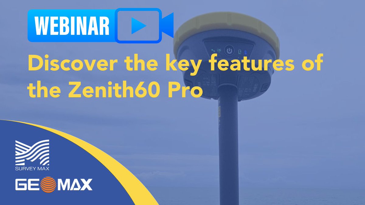
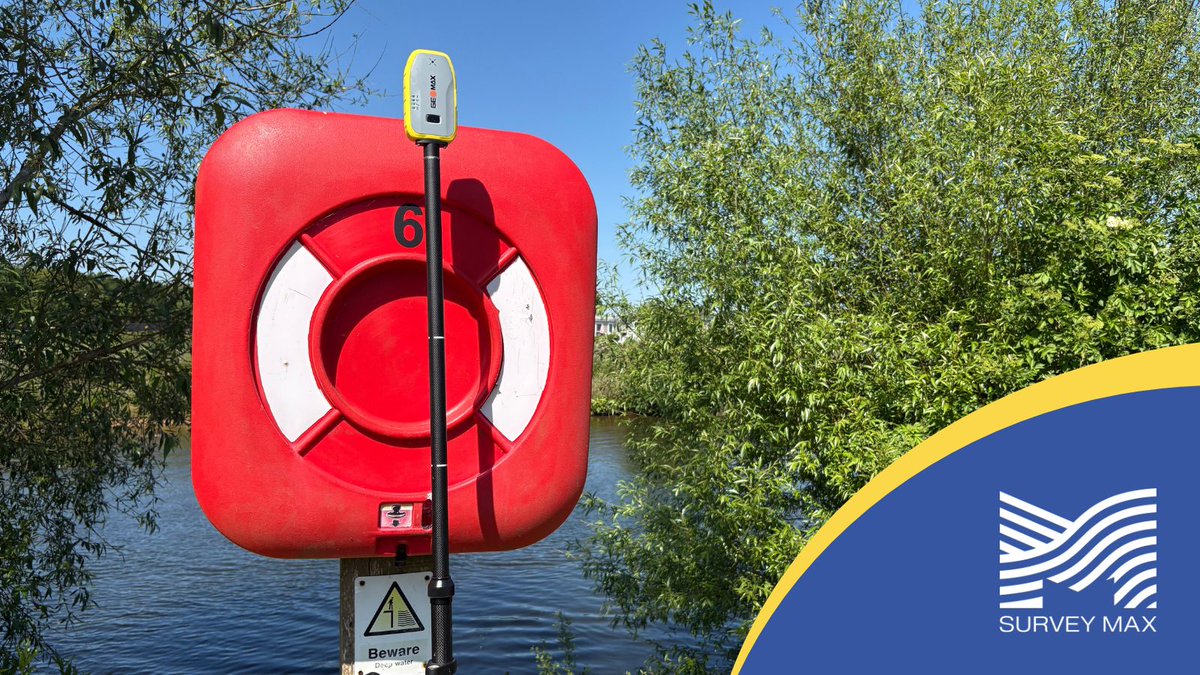
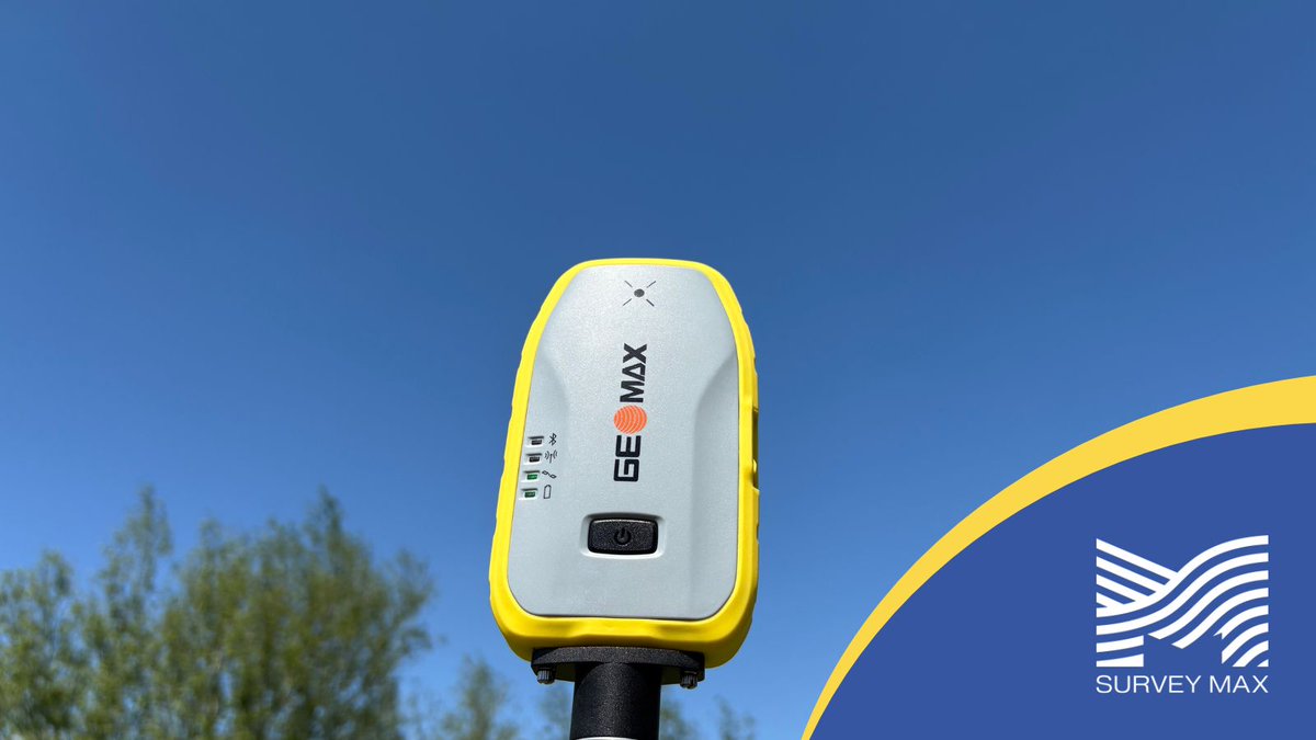
The #GeoMax#Zenith06Pro is compact, tough, and built for fast, accurate GNSS positioning.
✅ Tilt compensation
✅ Dual-frequency
✅ IP67-rated
✅ Seamless X-PAD workflow
Perfect for utility & asset teams—urban or remote.
Book a free demo
https://t.co/zsRdRa59J1
#GNSS
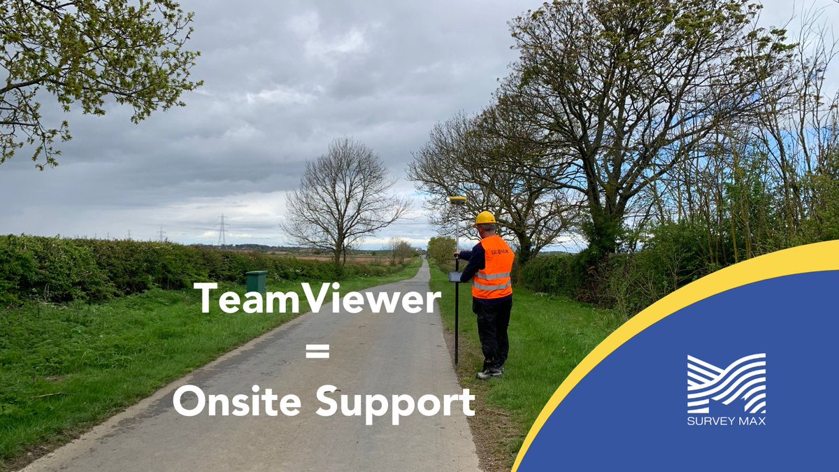
We offer technical support via Team Viewer to help you troubleshoot any problems you experience in the field
Find out more on how we can support you and your surveying business
https://t.co/ztbyxsBZ6C
#Geospatial#CivilEngineering
Afraid of losing data and falling behind schedule?
#XPAD365 is your safety net providing automatic #backups for your data and settings. Your data is always safe in the file manager and can easily be restored
Download the catalogue
https://t.co/PfIbhZBC1G
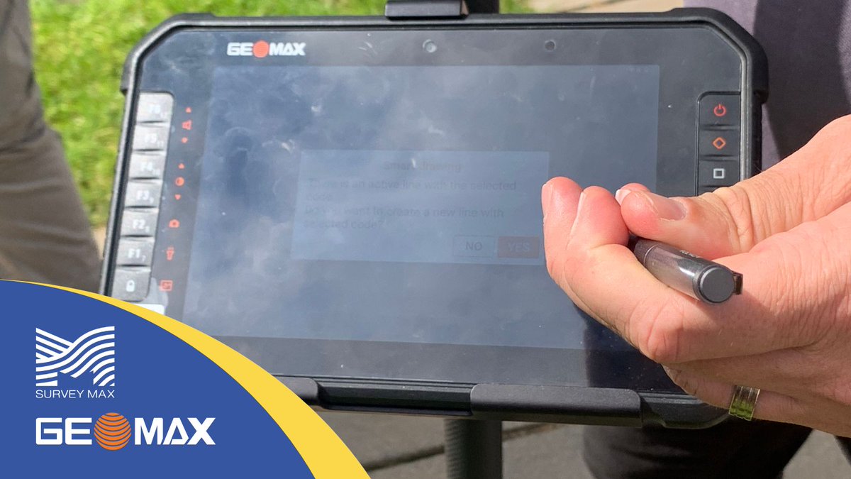
One login. Every device. One connected team.
#XPAD365 connects your #Zoom95 to the whole site engineers, surveyors & office staff see live data & sync files
👉Share & manage data from anywhere
👉Chat, annotate & collaborate
Read more
https://t.co/DYZtBIFPkO
The #Zenith06Pro with calibration-free tilt compensation lets you measure fast and accurately, even in awkward, hard-to-reach spots.
Ideal for utility surveyors and local councils managing public assets.
Contact us for a free demo
https://t.co/zsRdRa59J1
#GNSS#Surveyor
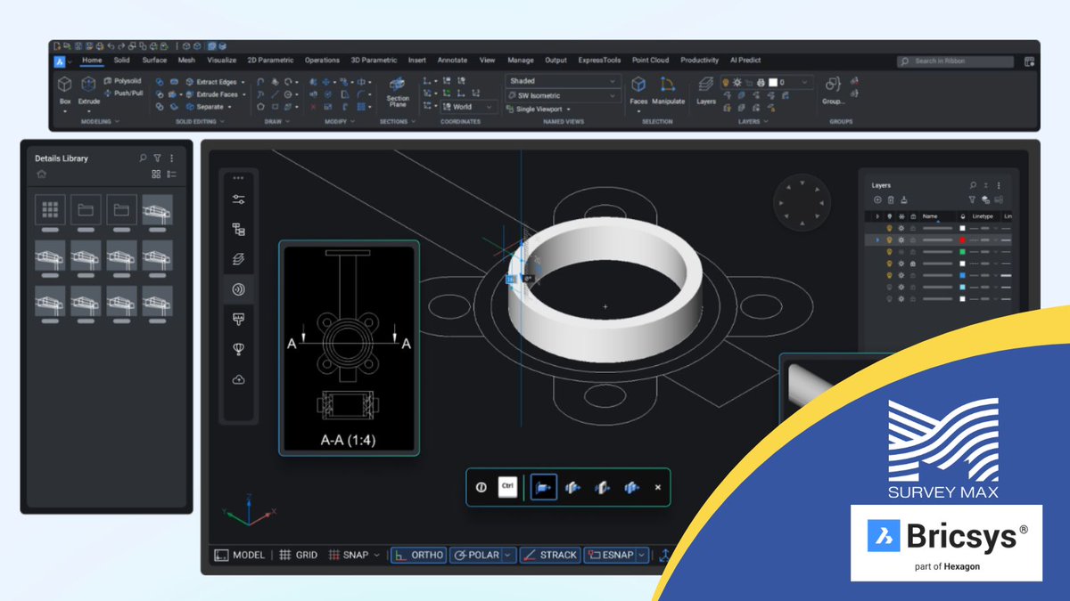
What can you do with #BricsCAD#BIM?
✅Scan-to-BIM
✅Scan-to-BIM - Visual
✅From design details to shop drawings
✅Model-based quantity takeoff
✅Flexibility to use 2D and 3D workflows
Book a demo
https://t.co/zsRdRa59J1
Cut setup time, not corners with #GeoMax#Zoom95 + #XPAD365
With one-man robotic control, you can move fast and still capture the detail required for high-stakes #measuredbuildingsurveys
Survey smarter, not harder.
Explore the Zoom95
https://t.co/DYZtBIFPkO
#FARO#Orbis Mobile Laser Scanner is the perfect solution
✅ Lightweight and handheld
✅ Powered by Flash Technology
✅ Achieve superior density and accuracy, saving up to 60 days of work-hours
Read more or book a free demo
https://t.co/YQVJRO8HmI
Tilt. Tap. Done.
The #Zenith06Pro speeds up your workflow with fast setup and simple operation
Perfect for busy teams managing streetlights, signage, drains, and more
Save time without sacrificing accuracy.
Contact us for a demo
https://t.co/zsRdRa59J1
#GNSS#Surveyor#Surveyor
Whether you’re #surveying, mapping, or staking out, the Zenith55 delivers seamless integration with robotic total stations, field controllers, and more – all in one rugged, future-ready system.
Read more
https://t.co/F88VrCt5xb
#Zenith55#GNSS#geospatialengineering