For context @Max_Sengu I started @terra_analytics to transition geophysics from desktop native applications to cloud based processing that can be accessed anywhere and not restricted to one computer.
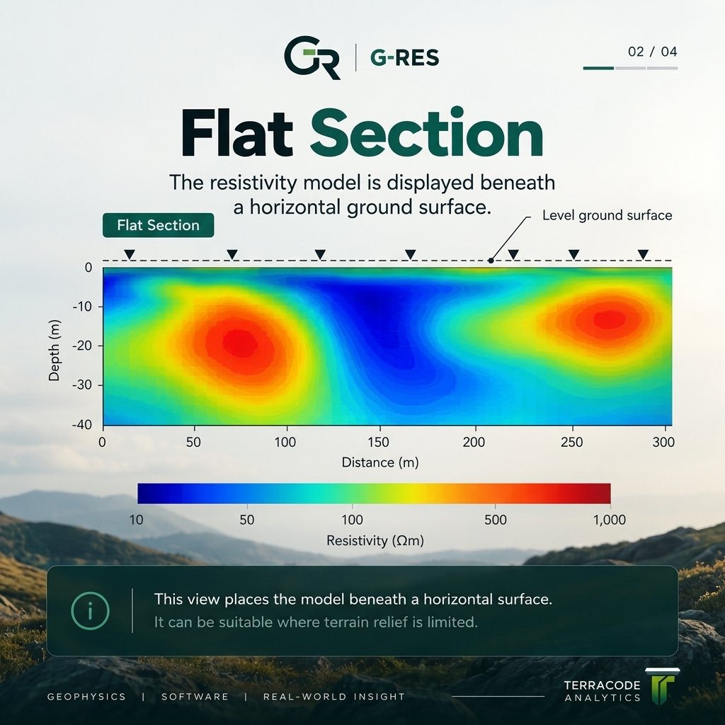
Flat and topography-aware ERT sections do not provide the same geometric context.
Topography helps relate resistivity features to the real ground surface, but it does not fix poor data or weak inversion quality.
#Geophysics#ERT#Resistivity#Topography#Geoscience#GRES
@deniyined@Max_Sengu Terra means Earth because geophysics is the use of non invasive methods to study the subsurface earth and Code is like for the applications we’re building basically
@deniyined@Max_Sengu Terra means Earth because geophysics is the use of non invasive methods to study the subsurface earth and Code is like for the applications we’re building basically
@Max_Sengu This setup is insane 😂. Funny enough, we’re building something at TerraCode Analytics that I think could be interesting for you guys at Terra Industries. We work around geospatial data, field systems and real-time processing. Would love to show you what we’re building sometime.
Terracode analytics was created to bring geophysics into a modern, flexible way of working. Instead of requiring people to use traditional software installed on one particular computer, the company uses cloud based systems so the processing can be accessed from anywhere.
@Max_Sengu This setup is insane 😂. Funny enough, we’re building something at TerraCode Analytics that I think could be interesting for you guys at Terra Industries. We work around geospatial data, field systems and real-time processing. Would love to show you what we’re building sometime.
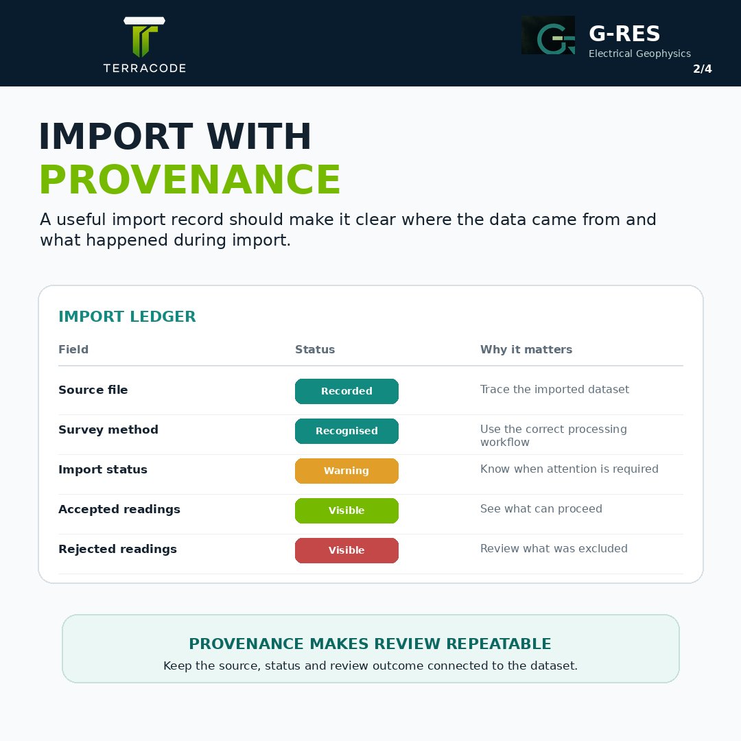
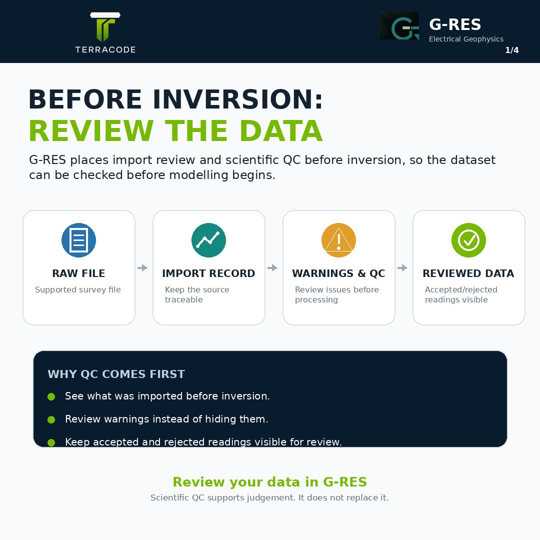
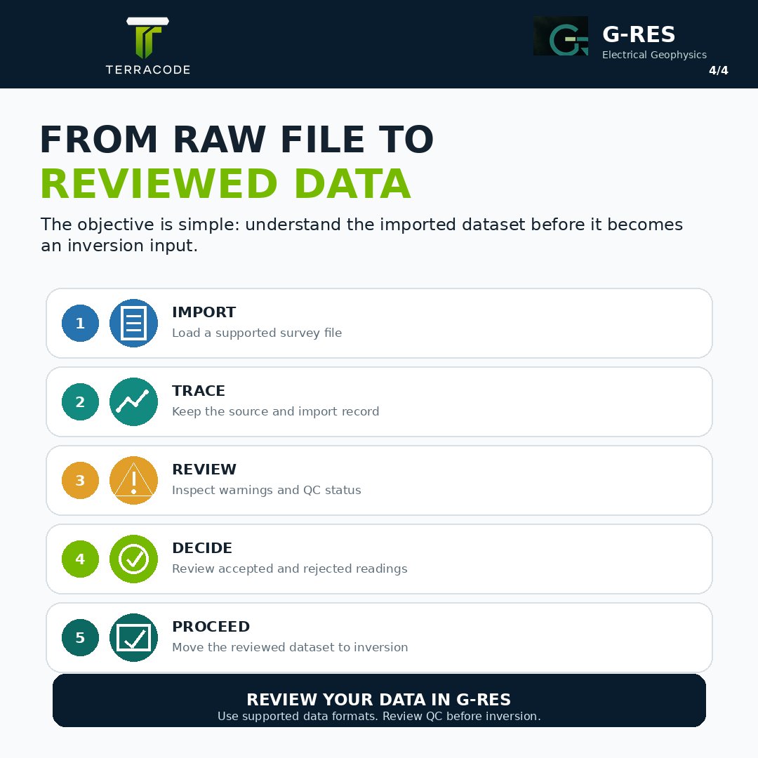
G-RES helps you review the source file, import status, warnings, accepted readings and rejected readings before processing.
Raw data → QC → Reviewed data → Inversion
#Geophysics#ERT#VES#Resistivity#IP#DataQuality#GRES
Flat and topography-aware ERT sections do not provide the same geometric context.
Topography helps relate resistivity features to the real ground surface, but it does not fix poor data or weak inversion quality.
#Geophysics#ERT#Resistivity#Topography#Geoscience#GRES
G-RES helps you review the source file, import status, warnings, accepted readings and rejected readings before processing.
Raw data → QC → Reviewed data → Inversion
#Geophysics#ERT#VES#Resistivity#IP#DataQuality#GRES
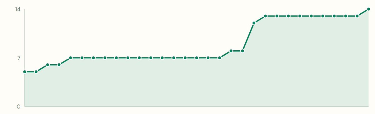
14 people are now using G-RES.
Still early, but it feels good seeing geoscientists use what we’ve built.
Big thanks to Timilehin Keku, Favour Adejumo and Emmanuel Samuel for the work behind it.
More to ship. Back to work 🫡
14 people are now using G-RES.
Still early, but it feels good seeing geoscientists use what we’ve built.
Big thanks to Timilehin Keku, Favour Adejumo and Emmanuel Samuel for the work behind it.
More to ship. Back to work 🫡
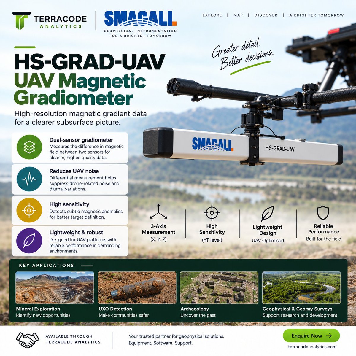
Smagall captures the magnetic data. Quest turns it into finished maps.
From UAV acquisition to processing, GIS visualisation and delivery, TerraCode brings the workflow together.
#Geophysics#DroneSurvey#Magnetometry#MineralExploration#GIS
TerraCode Analytics is now the exclusive Agent for Smagall in the Geophysical Survey industry, bringing together Smagall’s UAV-mounted magnetic survey hardware and TerraCode’s Quest software in one connected workflow.
Quest supports both magnetometer and gradiometer datasets, with processing, terrain modelling and GIS capabilities in one platform.
And there’s more. Customers who purchase a Smagall unit through TerraCode Analytics receive one month of free access to Quest.