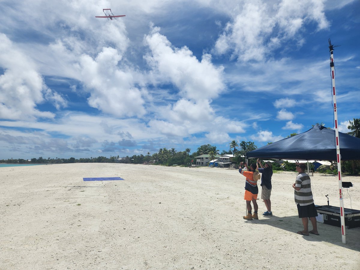
Rising seas threaten the Pacific island nation of Tuvalu and the country's leaders are taking action. A digital twin—created with GIS and high-resolution imagery captured by @ThisIsPLACE—help study climate impacts and preserve cultural heritage. https://t.co/mKVwi4aGmJ
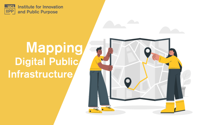
🧩There is an incomplete picture of the global state of DPI.
To fill this gap, IIPP has launched the DPI Map which allows users to explore the digital systems that are reshaping public service delivery around the world.
🔗Read more here: https://t.co/Z7onTHcU9D
#Tuvalu is leading the way with high-resolution mapping to combat #climate change! SPC's Digital Earth Pacific programme @DEarthPacific and @ThisIsPLACE provided data and information that Tuvalu can use in its digital twin efforts!
Read more:
https://t.co/Q8vIWbvprS
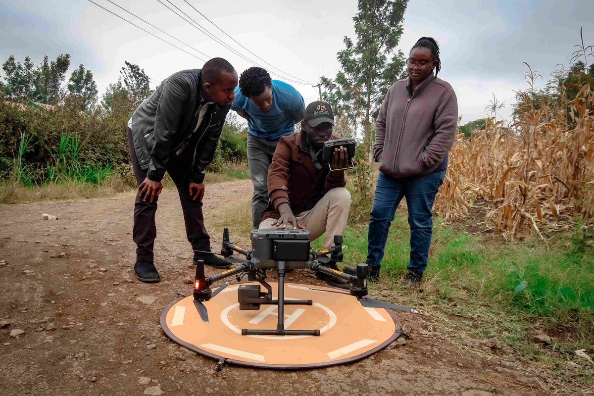
Curious what it looks like when national #mapping agencies partner with @ThisIsPLACE to capture #spatial data? Read about how the #Anguilla#survey department worked with PLACE and see how they are using the #imagery. https://t.co/Btp1zjDhgK
We have been accepted into the NVIDIA Inception Program! “We look forward to leveraging the benefits the program offers in evaluating image processing and machine learning approaches at scale, as well as upskilling our developer team” Nigel Edmead - Partner, PLACE
🔊 What a brilliant article capturing our journey and work at PLACE! 👏
Many thanks James Killick for taking the time to share our story.
Make sure you check out PLACE "Fueling Maps for the Rest of the World" and the many other articles on James's blog links below 👇
We are working @ThisIsPLACE to create a data trust of #mapping data in partnership with data started governments - a nuanced approach that is difficult to explain. @mapguy has done a great job capturing our model in the latest @maphappenings - give a read! https://t.co/3dgXKCzf2D
I am on more than a few boards but @ThisIsPLACE board is the one board meeting I look forward to eagerly as something exciting is always happening. As the author of this article said, Place is really making a difference in the world.
Learn more here:
https://t.co/4H4sdL2wa5
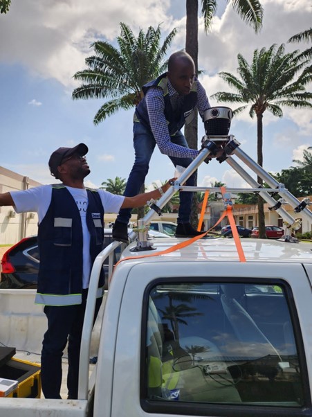
The @ThisisPLACE team uses the @Mosaic360camera to collect quality, high-resolution #PLACEGround street imagery. This work would not be possible w/o the partnership of @BNETD_CI.
Notre travail de collecte de données ne serait pas possible sans le partenariat avec @BNETD_CI.
The #PLACECommunity welcomes GeoSpace Engineering Consult Ltd -- bringing their significant experience in #landsurveying, GECL intend to use #PLACEData w/ their projects in-country, to support Digital Elevation Models for flood-prone areas of cities in #Ghana#PLACEDataTrust
Join our co-founder Peter Rabley and @Mercycorps & @Floodbase panelists discussing “How can climate-smart data be used by #fintech startups to increase impact?” as part of @CFI_Action’s Financial Inclusion Week. ! Register to view this session. https://t.co/0WzafdzxTn #FIW23
We are living in an era with unprecedented levels of #dataavailability. This #FinclusionWeek on-demand session explores the role of #data in driving, shaping, and accelerating the intersection of #fintech and climate #resilience: https://t.co/nkVa2agFKH
How’s this for a car selfie? Que diriez-vous d'un selfie en voiture?
@ThisisPLACE + @BNETD_CI staff collecting #PLACEGround urban imagery in Abidjan w/ our @Mosaic360camera. The high-resolution imagery this camera captures is invaluable for mapping streets in African urban areas.
Since 1966, @TetraTechIntDev has led with science and provided its clients w/ innovative technical solutions. As part of the #PLACECommunity Tetra Tech can utilize #PLACEData for clear solutions to complex problems in H20, the environment, land tenure, & more. Welcome, Tetra Tech
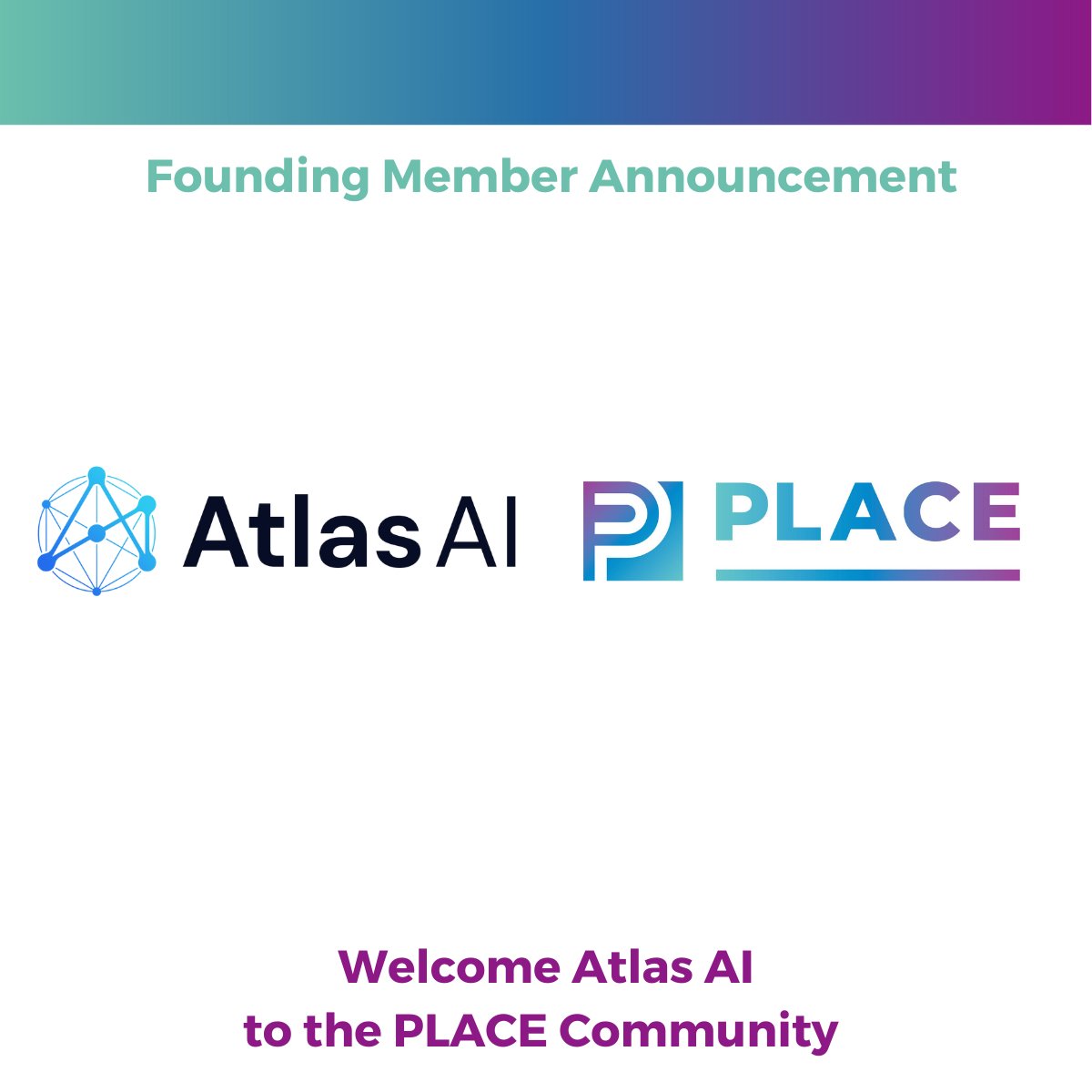
🎉The expansion of the #PLACECommunity continues. Welcome @atlasai_co, helping companies plan, prioritize & accelerate growth w/ their predictive intelligence platform. Atlas AI helps customers meet evolving demands, utilizing #PLACEData for change detection & #GeospatialAI
A beautiful day in Abidjan collecting high-resolution street imagery with our @Mosaic360camera.
Une belle journée à Abidjan propice à la collecte d’images urbaines à haute résolution avec notre caméra Mosaic.
Thank you to @BNETD_CI for their ongoing support and partnership.
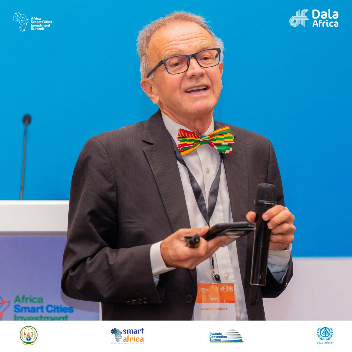
Session
Harnessing the Power of Geospatial Data and Urban Dynamic Mapping for Smarter and Inclusive City Development by @ThisIsPLACE & @EnabelinRwanda.
@KasparKundert, highlights the pivotal role of geospatial data, comprising 80% of all data, in advancing smart cities and enhancing the quality of life.
The main challenge in Africa isn't technology or expertise but rather economic sustainability. Kaspar's solution involves two key elements: community funding and data licensing.
By engaging communities in funding geospatial data projects and implementing effective data licensing, he aims to secure financial stability and promote the sustainable use of this valuable resource.
#ASCISummit #ASCIS2023