#94 more days until Notre Dame Football returns which makes it a great time to flashback to the 1994 season featuring Ray Zellars 62yd run for a TD after completely destroying a guy! With Legendary Tony Roberts on the call ☘️
@hwinkler4real I just watched your Hallmark Christmas movie “The Most Wonderful Time Of The Year! You were great! Loved this movie! I love you even more now!
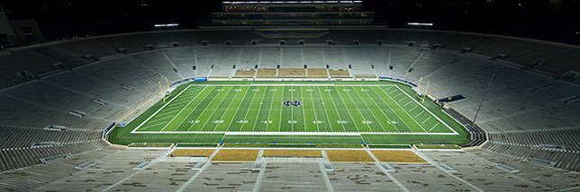
Passing The Offseason Series (Going through 2024 and 2025 seasons, including byes, on Saturdays)
Game 15 Notre Dame v Penn St (January 9, 2025 @ 7:30p)
TROPICAL UPDATE: Over the past 24 hours more models have indicated *possible* development in the Gulf for Mid-June. Here are some thoughts as of Thursday Evening:
1) The Central American Gyre (top image) is basically a broad and seasonal area of low pressure that occurs over the eastern Pacific and western Caribbean that can sometimes spin-off tropical systems.
2) That's what a rising number of models are currently indicating from Google, the European Model and the American model too. Shown in the bottom image is the chance a Tropical Depression forms in the Gulf from the European Model over the next 10 days. At the moment, it stands at 40-50%. *IF* it does develop, first name in 2026 is #Arthur.
3) Bottom line...don't stress yourself out this early. Just putting the potential on your radar so you can keep tabs on it. Not fear-mongering, but informing with no hype. From here we'll look to see if the models are consistent. If they are then it will have more and more legitimacy behind it. I'll be watching it no matter what and get you the very latest 24/7.
- Matt Devitt Weather
TROPICAL UPDATE: Several updates to pass along from the Atlantic to the Pacific. Here are some thoughts as of Wednesday Evening:
1) THE GULF: I'm tracking a flare-up of disorganized showers and storms. A weak low could form from that area as it heads towards Louisiana Friday into Saturday. It'll bring better rain chances to the Northern Gulf Coast, occasional gusty wind peaking between 30 - 40 mph and some coastal flooding. Tropical development chances are currently low. *If* it did try to form, it would be weak due to higher shear and mainly a rainmaker. Nothing to be concerned about.
2) THE PACIFIC: Tropical Storm Amanda has formed, 1st of the season. Will stay in open waters, not a threat to land.
3) LONG RANGE OUTLOOK: Down the road I'll be watching the Central American Gyre. It's basically a broad and seasonal area of low pressure that occurs over the eastern Pacific and western Caribbean that can sometimes spin-off tropical systems. Some models do show the possibility of development in the Western Caribbean or Southwestern Gulf towards Mid-June. If models are consistent run after run, then it will have some legitimacy behind it. Just watching for now, nothing more. I'll keep you posted with no hype, just the facts!
$2.7 Million. $7 Million. $10 Million. $17 Million. $24 Million. Now $40 Million Rosters.
Nick Saban Isn't Wrong. You're Missing The Point On What He's Saying Is Easy If You're Too Busy Criticizing The Messenger. 🚨
If This Doesn't Get Under Control We Won't Just Lose Competitive Balance In College Football. We'll Lose Olympic Sports, Scholarships, And Everything That Isn't Football Or Basketball.
Pay The Players. Yes. But Do It The Right Way Before It's Too Late.
@SeanUnfiltered@AdamGSager
#NickSaban #NIL #CollegeFootball #CFB #OlympicSports #CollegeSports #TransferPortal