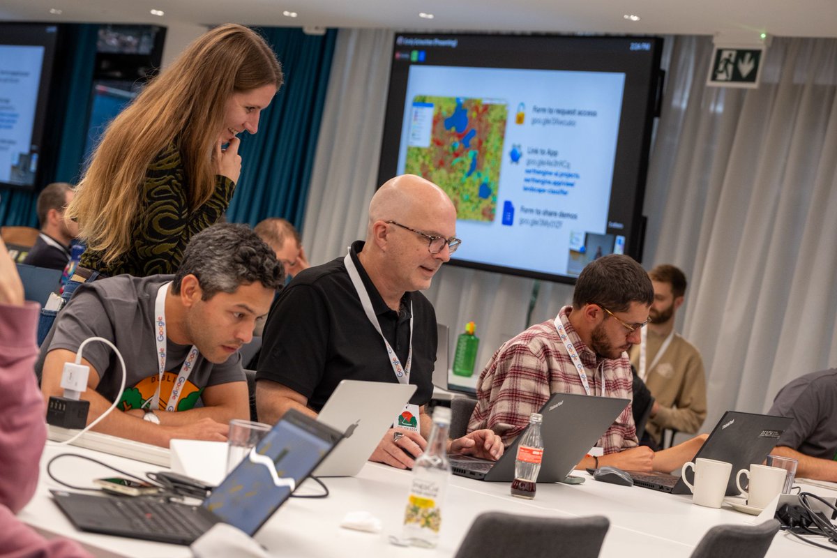
We are thrilled to announce that eligible organizations can now apply for Google Earth credits through the Google Maps Platform (GMP) Public Programs. https://t.co/VmzzmCFIPN
For decades, environmental and social benefit professionals—from conservationists protecting wildlife to public health officials improving sanitation infrastructure—have relied on Google Earth to turn planetary data into real-world action. This program is specifically tailored for organizations aligned with sustainability and public health goals.
In addition to free capabilities available in our Standard plan, this credit program gives your organization expanded access to even more of Google Earth’s latest advanced web capabilities and tools, such as:
- Large-Scale Data Import
- Advanced Data Layers
- AI-Powered Analysis
Ready to Get Started? Before applying for credits, we encourage you to explore the new Google Earth plans and sign up for a free trial. If, after your trial, you would like to continue your plan you can check your organization’s eligibility and submit your application for Google Earth Credits via GMP Public Programs.
Credits are valid for 12 months. Recipients must report on their impact (i.e. hectares protected, emissions reduced, or lives impacted) and can request an extension at the end of the cycle.
Google Earth AI, our collection of geospatial AI models and datasets, is expanding globally and adding new capabilities. That includes Geospatial Reasoning, powered by Gemini, which automatically connects different Earth AI models - like weather forecasts, population maps + satellite imagery - to answer complex questions.
We’re also bringing new Earth AI models to Gemini capabilities in Google Earth, which make it easy to instantly find objects and discover patterns from satellite imagery. For example, analysts could spot harmful algae blooms that could impact drinking water supply, and issue warnings.
I’m curious who takes responsibility for this widening gap - it worries me that there’s no clear answer, but, as technologists, we definitely have a role to play.
As the rate of technological advancement increases, those without access to it become less and less represented in data. She discusses the idea of using synthetic data to protect privacy while creating statistically representative open data for open innovation.
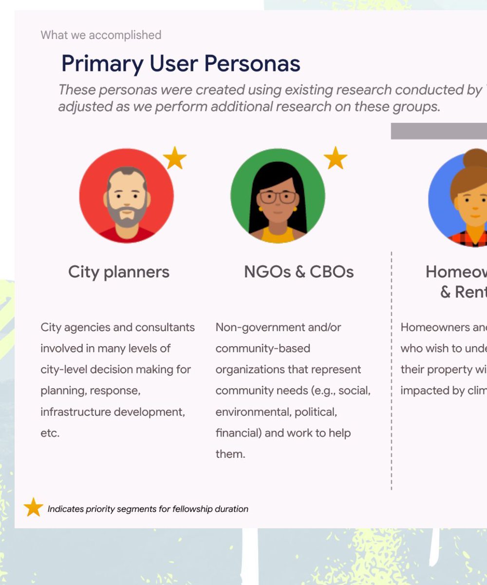
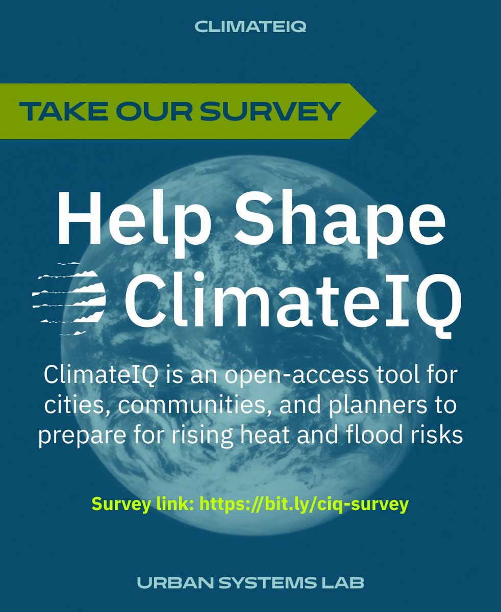
🚨 Critical climate data is disappearing. ClimateIQ is building free AI tools to help cities & communities prepare for heat & flood risks. US planners, NGOs & community leaders: Take our 5-min survey to shape these tools! 🔗 https://t.co/Ilo9lyx3zr #ClimateJustice#OpenData
Join us at the Geo for Good Summit in NYC 🗽 - an event that connects people who are using #EarthEngine and other geospatial tools for planetary sustainability and human resilience 🌍Aug 25-28 Apply to attend now at https://t.co/k1eBsiy2YQ
Claude Code 2x’s productivity. How do you 10x it?
Introducing Claude Squad
🔮Juggle agents in one window like a pro
🚀Run tasks async (with yolo mode!)
🌳Isolate tasks in git workspaces
🤓Review/edit changes before shipping
Free and open-source: https://t.co/guwhEXMyem
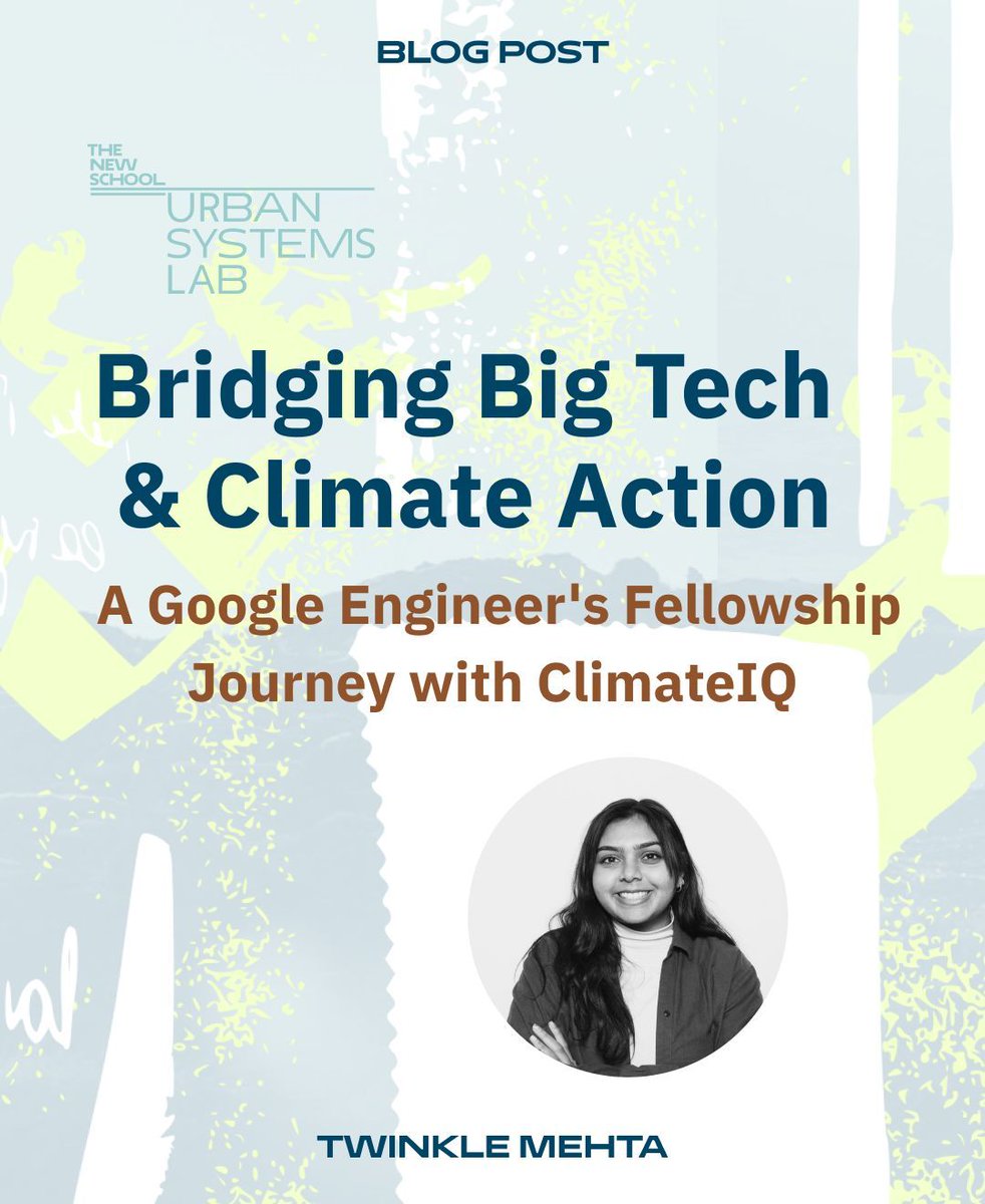
hello !! i don't usually post on here, but I wrote a piece about my work with the urban systems lab and how it helped me transition to a role in sustainability :) hope to share more of my work on here and connect with anyone else interested in climate!
From Google Engineer to Climate Tech Innovator: Through USL fellowship, @tmxhta helped develop climate risk assessment tools that make complex data accessible to under-resourced communities 🌎💻 Learn more: https://t.co/vJLD4oBmEJ