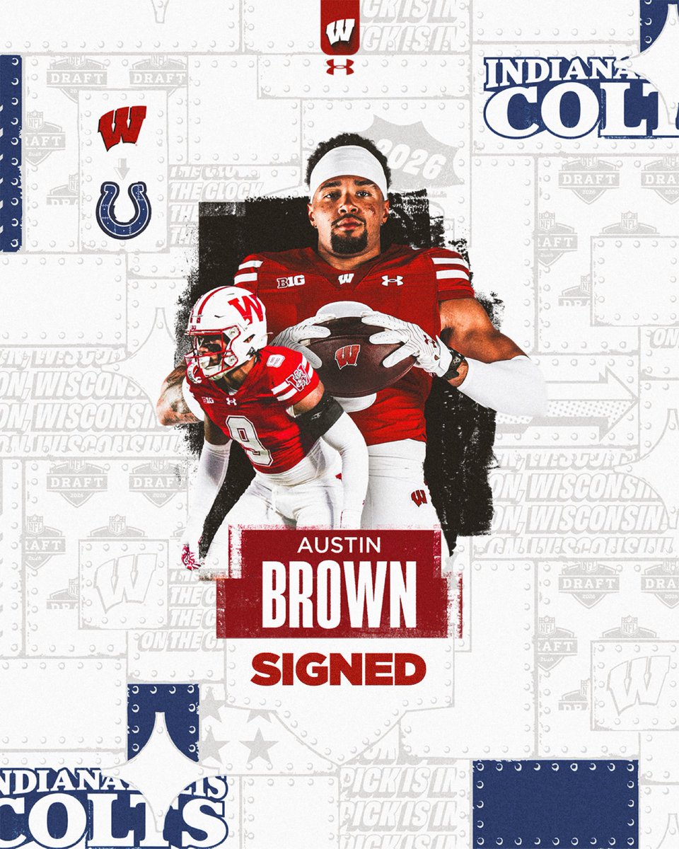
If you plan on watching the @ShrineBowl tonight, here are the Badgers participating:
East roster:
- Mason Reiger (#22)
West roster:
- Lance Mason (#41)
- Riley Mahlman (#71)
- Austin Brown (#39)
I'm not a fan of presenting simulated radar product because many lack high resolution and mask subtle features. In general long range radar simulation present broad stroke images that can exaggerate coverage.
High resolution solutions extended out to a shorter time range but offer us more detail.
This snapshot projection for Friday Mar4 evening presents the idea I tried to convey in words yesterday. Locally the severe cells will likely be isolated and maybe even small. All forms of severe are possible but damaging winds will be most widespread in MWA-OWB. A tornado is possible but that risk is small and as the image presents, some might see little rain but the winds will be omnipresent.
Another theme is appearing in solutions as we move inside the high-res model range. Storm intensity could peak in SEMO and slowly diminish as moving east across SIL. In general, MWA will likely see stronger storms than OWB.
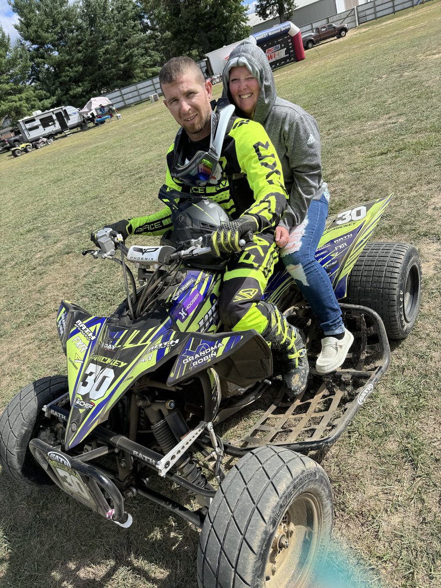
CBell is right back at home in the Expo.
An incredible 7th-to-1st Qualifier win in the last corner shot @CBellRacing all the way from 53rd in points to the outside pole of Outlaw Non-Wing.
He goes for his 5th Golden Driller tomorrow night!