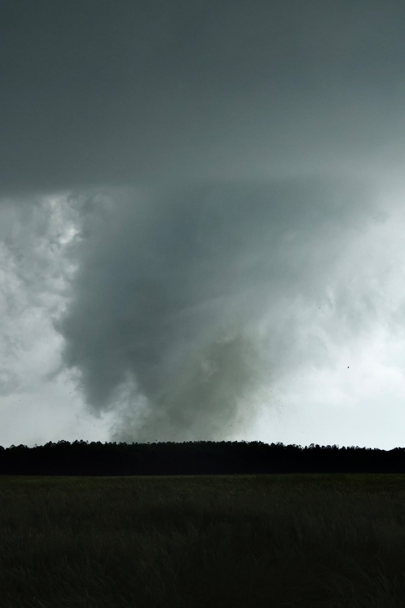
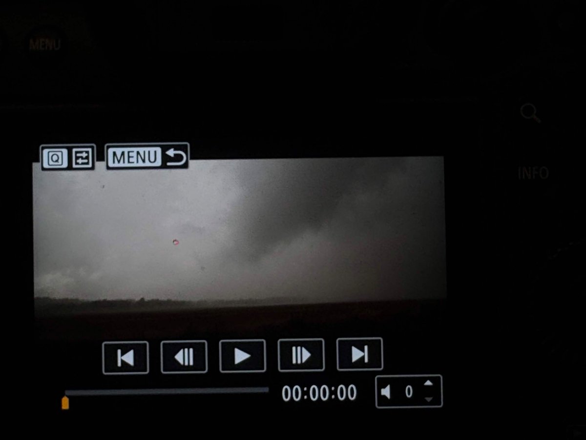
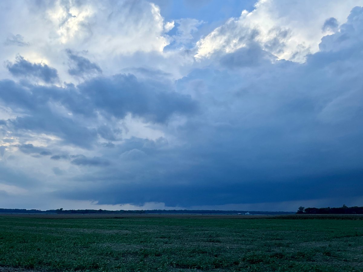
@NWSLincolnIL It is tough to tell with the lack of pronounced surface features from the tornado from afar, but I do believe at the beginning of my video I captured it when it was in Illinois. The time is roughly, since I do not have a definitive timestamp to when I started to record.
@NWSLincolnIL@RealTimCigar I sort of do; my best educated guess would be here in picture one & two. I noticed a large bowl funnel extending downwards on the Illinois side. Image four has my perspective drawn in black, with my location in red and the potential tornado path in yellow.
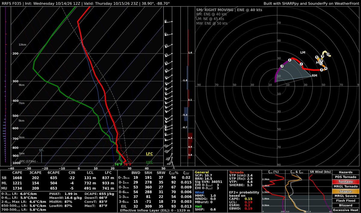
Intriguing setup tomorrow along a lifting warm front/sfc low tomorrow. Morning convection could limit the ceiling for a tornado threat but I would not be surprised to see a couple tornados tomorrow if sufficient instability can be realized. Definitely something to keep an eye on.
Hello #wxtwitter, I’m a storm chaser & pilot from Virginia who‘s enjoyed interacting with the weather community in real life & on the internet. Decided to make a twitter account to post about my endeavors. Here’s some of my favorite pictures I took as of late.
The Barnwell, SC tornado on October 10th has been upgraded to an EF-2. Here is the tornado going through town just before doing EF-2 damage to the north. #scwx