I have been nominated for a
@FoyaGlobal
Awards
HOW FOYA VOTING WORKS
Your account will be credited with 1 voting credit per day immediately you create an account (Sign up). The 1 credit will allow you to vote once for 1 nominee.
https://t.co/CDDqxRyJfF
@Its_Mariga share.
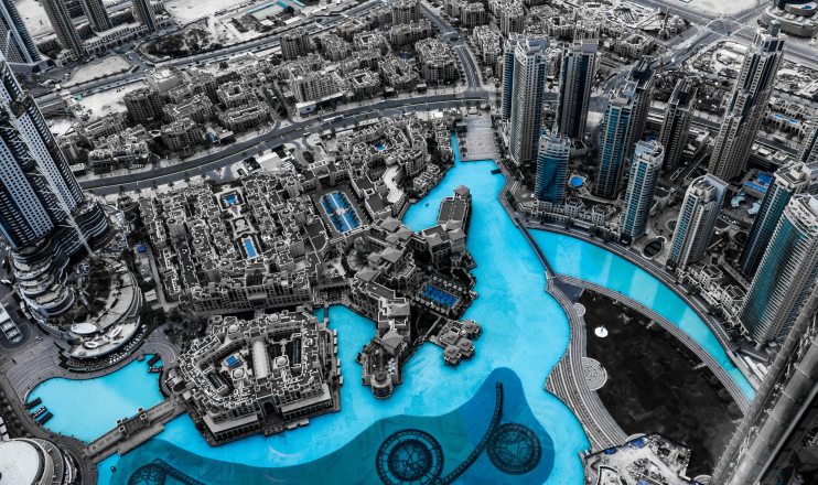
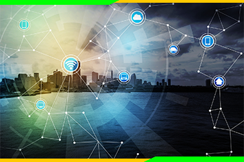
Artificial intelligence for #SmartCities mainly focuses on the following major categories of applications: helping officials learn more about how people use their cities, improving public safety in cities, improving #infrastructure and optimizing the use of these resources.
Artificial intelligence for #SmartCities mainly focuses on the following major categories of applications: helping officials learn more about how people use their cities, improving public safety in cities, improving #infrastructure and optimizing the use of these resources.
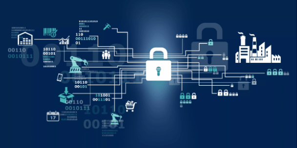
#Smartcities depend on internet connectivity to function effectively. This makes them prone to #cyberattacks and most of their data can end up in the wrong hands. Smart cities should therefore employ effective security measures to protect their citizens.
https://t.co/OjnEtCP4D0
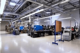
Businesses play an important role in building #smartcities. They provide employment and services to residents and pay taxes to the government therefore driving the smart cities` economy.
https://t.co/ujQgm7JT6z
#innovation#Tech4All#technology#technologynews
The success of #smartcity initiatives depend on good leadership. The city authorities should provide visionary and smart leadership as well as create strategic partnerships to implement smart city projects.
https://t.co/g0kEhsjhbn
#innovation#technology#MondayMotivaton
Unlike in the past when people used to walk over long distances looking for houses, potential clients are turning to the internet to look for vacant houses for rent and sale. It is the high time #RealEstate companies change their marketing strategies.
https://t.co/7bXKPSzJ11
A geographic information system (#GIS) is a system designed to capture, store, manipulate, analyze, manage, and present all types of geographical #data. It is used in many fields including environmental management, agriculture, and #realestate.
https://t.co/ZcbrEgkkTb
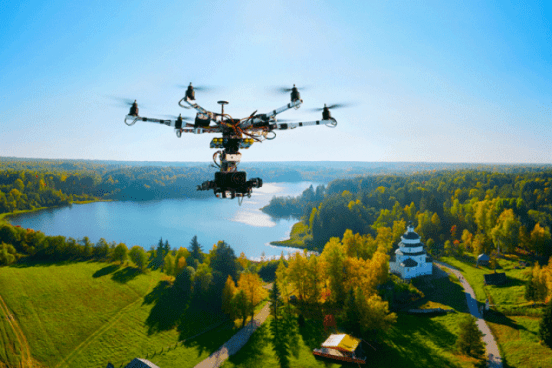
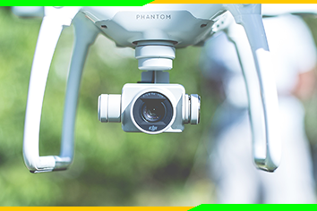
Drones are remotely controlled and used in situations where manned flight is considered difficult and risky. They are used in a number of fields including #military operations, #realestate photography, and #smartcities monitoring, among others.
https://t.co/Ook2AvYU7W
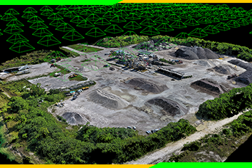
Photogrammetry is the use of photographs to take measurements. It has a number of applications in #Geology, meteorology, manufacturing, etc. Learn more about photogrammetry on Tutorgram engineering courses.
https://t.co/9I2QLd7Xpr
#photogrammetry#Innovations
A lot of our data is stored online eg bank details, passwords, #socialmedia profiles, etc. This data may ends up in the wrong hands putting our online lives and reputation at risk. We need to take cyber security measures to protect our data from hackers.
https://t.co/BdXDaNg7e6
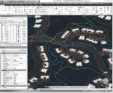
Maps and plans that are used in #construction works are obtained using CAD software. #Landsurveyors depend on CAD drafting to design and update maps which highlight mining areas, road construction layouts and property survey maps.
https://t.co/9VjV6jhGrG
#innovation#technology