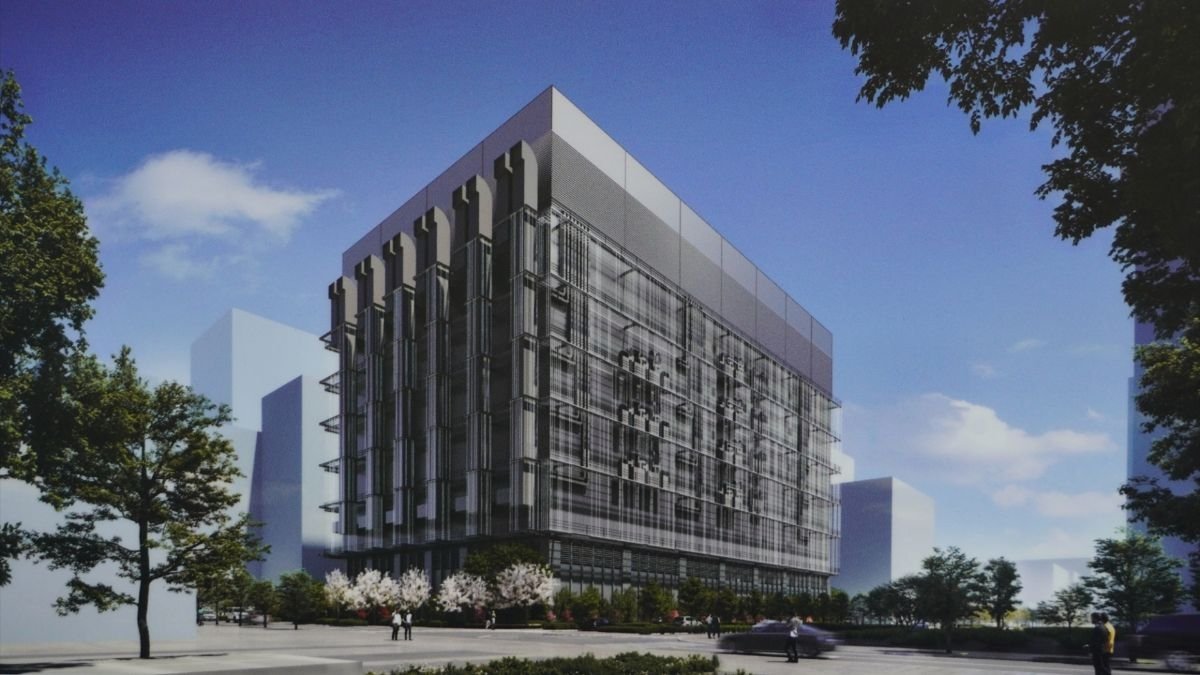
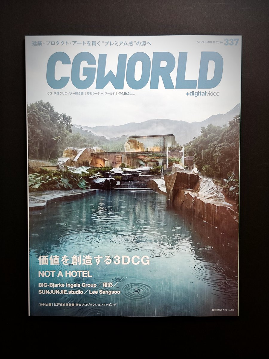
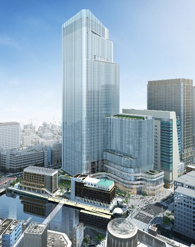
今月のCG WORLDは、建築学���は必見。
NOT A HOTELが、パース制作の考え方からプロセス、独自テクニックまで20ページに渡り細かく解説。
独自のマテリアルアセットや自動レイヤー化、ドローン空撮との組み合わせ、Miroでの制作管理、使用ソフトまで詳述。とても勉強になる。
https://t.co/ockMkKZq7d
D5 3.1 | The Workflow Deepens
➡️Explore D5 3.1: https://t.co/9RK8uT7sd0
📖Full Release Notes: https://t.co/9RsIzNU3HL
Since D5 3.0 introduced the connected D5 Workflow, this update takes it even further with stronger presentation capabilities, production-grade visual control, cloud-based collaboration across teams/offices, and broader workflow coverage.
🎥Join our webinar to learn more about the release live:
https://t.co/VReaNbQiKa
#d5 #d5workflow #d5render #archviz #architecture
#designpresentation #rhino3d #revit #3drendering #airender #designworkflow
#designtools #aidesign
Adobe for creativity + Claude 🤝
Now, Claude users can power their content with more than 50 Creative Cloud tools. Simply describe the outcome you want and let the assistant orchestrate workflows behind the scenes: https://t.co/G70cSsca8P
Today, we’re thrilled to announce the launch of Shapefile and 3D model import support on Google Earth. Plus, we’ve also added elevation profiles to the measure tool just for… good measure! https://t.co/vpIJA3HCv4
You’ve made it clear. You want to be able to bring more of your data and models to Google Earth’s real-world canvas. We're excited to take the next step in delivering on that promise with these new features:
🔶 Shapefiles (SHP): Render industry-standard geospatial data as performant, cloud-native layers.
💡 3D Models (GLB): Place custom architectural mock-ups, massings, and more in a visually rich context.
🗻 Elevation Profiles: View detailed terrain data in the measure tool you already know and love.
These new features are live now on Google Earth!