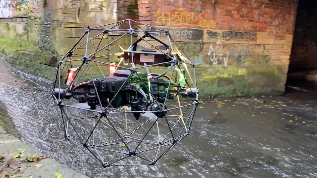
A glance back to a previous confined space survey where the Emesent Hovermap ST and Flyability Elios 2 were utilised. This method of integrated data collection allows for visualisation of underground assets and their surrounding environment.
A snippet from a recent sewer inspection conducted in Aberdeen, Scotland, with the Flyability Elios 2 effortlessly handling the underground portion of the survey, while a quick @emesent scan above ground provided some reference data.
#drones#survey#inspection#lidar
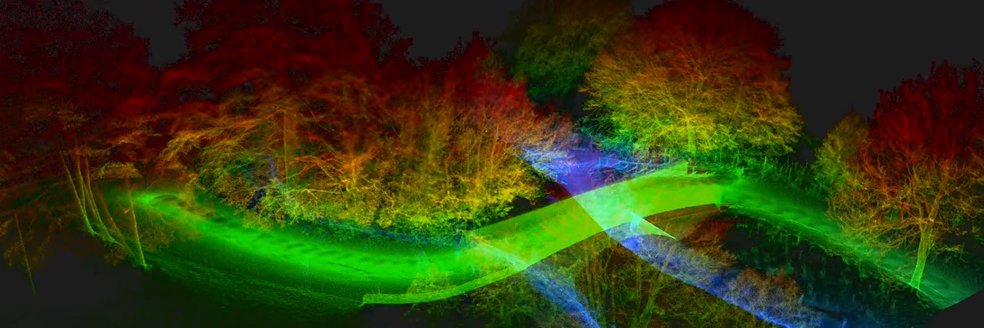
UAV365 utilised the Emesent Hovermap ST to laser scan the city of Edinburgh covering nearly 1 km² within a few days, scanning from the West End to Waverley station including the Grassmarket, Royal Mile and Edinburgh Castle.
#drone#uav#uas#photography#LiDAR#3dmodel
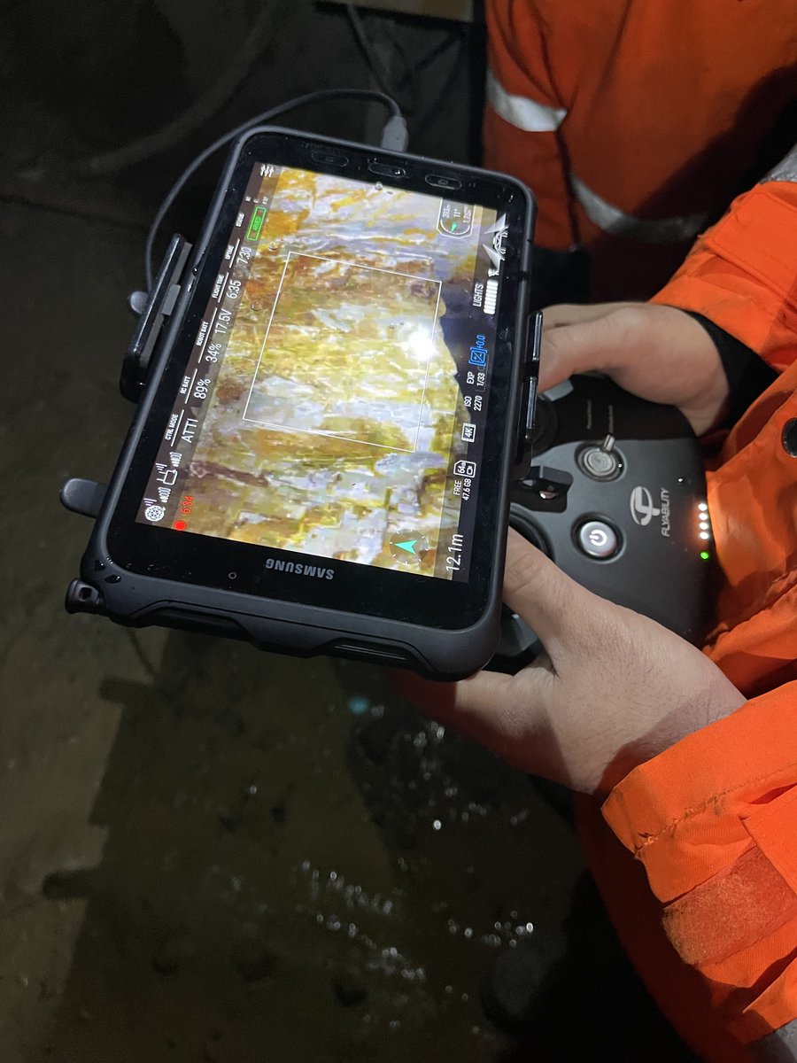
This week, UAV365 revisited the Duntanlich barite mine near Aberfeldy, Perthshire.
The Flyability Elios 2 was our weapon of choice to capture thousands of high-resolution images of multiple raises within the mine, all safely inspected from afar.
#uav#UAS#drones#survey#mine
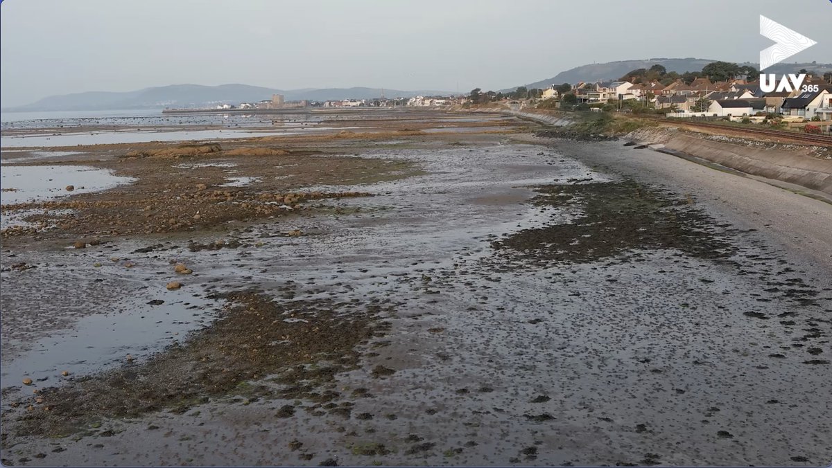
UAV365 surveyed Duntanlich Mine, situated in Aberfeldy, Perthshire. Duntanlich necessitated control verification and a topographical survey. Using our total station, we verified and established new control, and then used the @emesent Hovermap ST to scan the mine.
#uav#uas#LiDAR