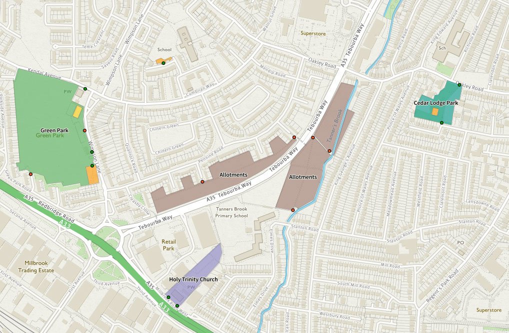
Via the @fixmystreet app or website you can report things like potholes, graffiti, flytipping, random couches chucked on the street and that kind of thing - so we looked into the what, where and when of all this
"the most detailed mapping exercise ever undertaken of any islands anywhere on the planet"
The Scottish islands of Canna and Sanday have been mapped at three centimetre resolution, with over 420 million data points (video has no sound, but cool images).
https://t.co/QpCLSphRhW
Exciting job as Researcher in Real-time Urban Flood Risk Analytics on @NERCscience@EngineeringNCL Flood-PREPARED project. Harness our world-leading @urbanobserv and develop cloud and big data analytics to better understand flood impacts in cities.
https://t.co/HzpAi8ln0Z
The webpage for the RGS MidTerm 2019 conference is now up and running! Please see https://t.co/vd5ZXdhn5p for further details. Deadline for abstracts 21st January 2019 - hope to see you all there! @RGS_IBG#RGSIBG19
RGS-IBG Postgraduate Forum Mid-Term Conference 2019 will be held at
Manchester Metropolitan University @ManMetUni. 24th-26th April. https://t.co/jljDZ4OXp3 @RGS_IBG#RGSIBG18
This Uber viz workshop next Wed, 7 Nov, 1430-1630 should be great - there's a few spaces left - because @heshan_cheri is flying in to London just for this and #GeoCom18 (I'll bring some cool data and demo some use cases at the session) https://t.co/WnGbuvxD6Y
A sneaky peak at some 1m resolution #LIDAR data from our national coverage project. We'll be releasing our survey plan for this winters flying season in the next few weeks. Last seasons data will be available online early 2019 #Heathrowairport#FridayLIDAR#aerialsurvey#opendata
Congratulations @WeatheRach on your PhD ceremony today |supervised by @unigisuk academics Mark Cresswell & @GinaMCavan | Great to hear about your lectureship at @gidchester too 😊 https://t.co/jrVWj6d1nh
Phew; doctoral graduation - what a way to say goodbye ! Thanks @MMUGeog / @MMUsste- certainly #ManMetProud today with us all standing up there having come such a long way together. Now for the next adventure with @gidchester and potential collabs in future 😁
REGISTRATION is now open for the UK National Earth Observation Conference 2018 (4-7 Sept 2018 | Birmingham, UK). Deadline for registration is 24th August. For more information on the conference please visit: https://t.co/zBDX28hHHR
Registration still open: #UNIGIS u_Lecture on May 16 by Dr. Jonny Huck @jonnyhuck: "The Hammer of GIS": Embracing Vagueness Participatory Mapping >>https://t.co/it2H2jYPMS
#geospatial#webinar#Mapping
UK National Earth Observation Conference is being held at University of Birmingham on 4-7 September 2018. Organised by RSPSoc, NCEO and CEOI. https://t.co/PycO06ac2X #EarthObsConf2018
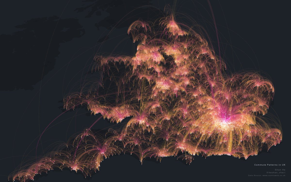
Mapping UK Commute Pattern with 700k arcs in 3d using https://t.co/SqbQgo2asx. Yellow shows where people live, purple shows where people work. data source https://t.co/8cjDCAxfMl #keplergl#maps@uberEng
Are you a user of our #OS#OpenData? Would you like to help us find a format which can work for the masses? We’ve been exporting our data in a range of different formats and would like your feedback in our product trial: https://t.co/nCUxucjHVW
Great opportunity for undergraduate and postgraduate students nearing the end of their studies. Graduate employment roles available with @esriuk. Ideal for @SoGLeeds and @GISatLeeds students with interests/expertise in #GIS 📊 Deadline 27th April 2018 🌎 https://t.co/QhE5ksGqvi