Two scenarios. One view.
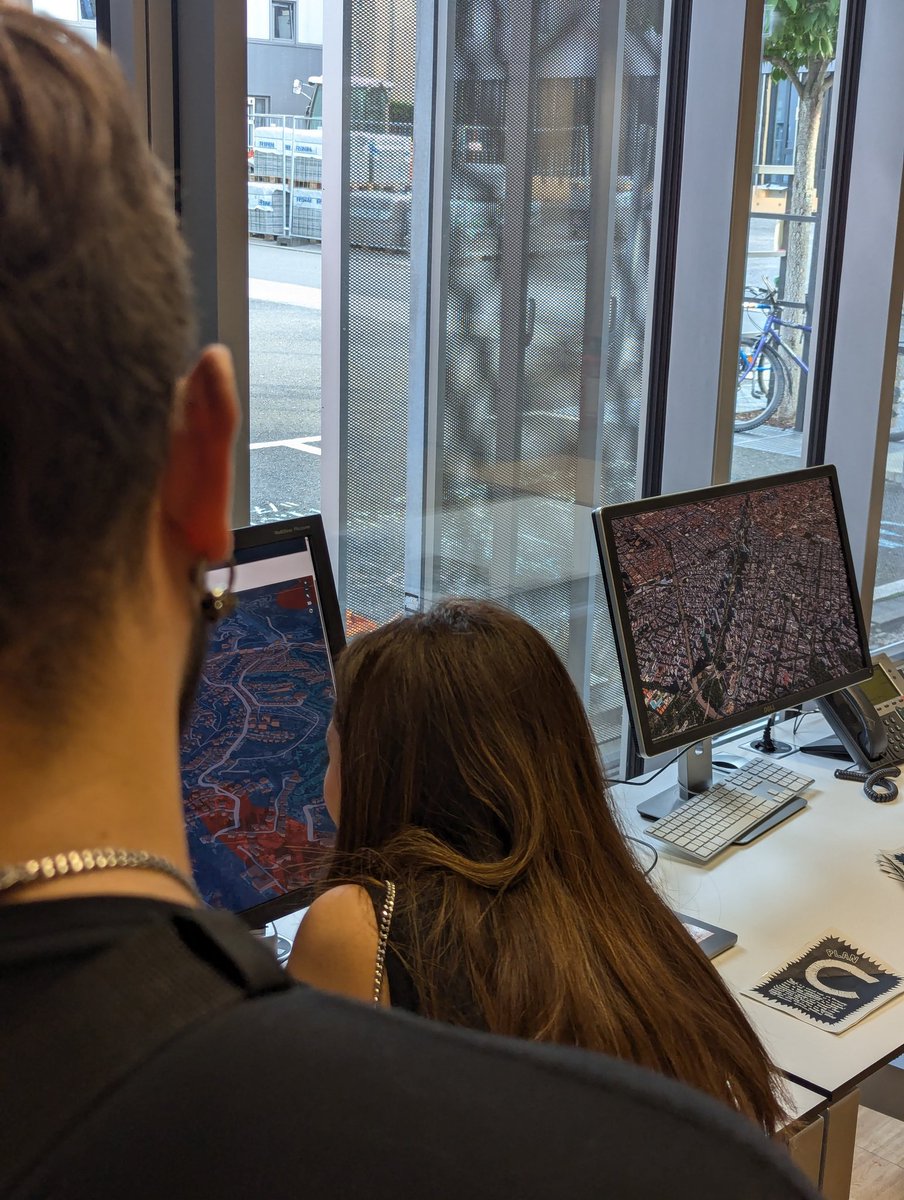
Stop toggling between tabs to compare urban policies. Open two simulation runs simultaneously—land prices, dwelling prices, development density..
Move both maps in perfect sync, or lock one side while you explore the other. See precisely what changed.
One file. A full simulation.
Export your entire CityCompass run and send it anywhere—Slack, email, or a drive. They open it and it’s all there: every agent, every layer, every historic month.
Explore it, build on it, send it back. One file, full back-and-forth.
Land use models have always been hard to see into black boxes built on static regressions.
We asked: what if you could debug a city simulation the same way you debug code?
Drop into the engine. Stop time, set breakpoints, inspect agents. Tomorrow: how we share runs.
UrbanHeroes, our gamified experience that allows citizens to experiment policy alternatives, has now more levels and features. We introduced urban equipment upgrades, improved animations and better analytics. Have a look!
How could Madrid change if the Nuevo Norte project happens? We took advantage of our recent visit to the city to model it in CityCompass and understand how it could affect some key urban indicators.
A trip to a new city is an opportunity to create a prototype for the area. Understand urban challenges, set up CityCompass and look for feedback from local policy-makers to improve the platform. Pilot for the Utrecht region, adding urban equipment and a train line.
Google just shared a useful resource to support growth analysis in the Global South. Besides the present time buildings dataset that have been available for a long time, now they offer datasets providing building footprint information for past years.
https://t.co/uASb7SkRpW
Take a look at some new levels in UrbanHeroes, the game we designed to communicate planning challenges and allow citizens to experiment with solutions, jointly developed with KimmiArts. We will begin playtests shortly!
Introducing Project Sid: the first simulations of 1000+ truly autonomous agents collaborating in a virtual world, w/ emergent economy, culture, religion, and government
Humans are the only species to land the moon, because we can cooperate at a vast scale
Can AI do the same?
Urban Planning Analysis is about answering questions, many of them around the impact of policy changes in urban areas. CityCompass can provide almost instantaneous impact indicators to reflect outcomes of infrastructure interventions, such as the addition of transport lines.
En Alemania, el Digital Bauhaus Lab estuvo exhibiendo el mapa calle a calle así como el mapa fotogramétrico de @nmas y @urbanly_org. Ver ambos proyectos lado a lado fue una experiencia religiosa. Gracias por apoyarnos y echarnos buena vibra.
Hemos puesto a México en el mapa.
A recent article from a research team at NVIDIA got our attention -- they are able to scale the NeRF technique to render a city (25 km2 area), scaling up the methodology with multiple GPUs. Previously, this kind of render was only feasible for a single object.
URBANLY will be part of Urbanism Next Conference in October presenting a workshop not only about the fundamentals of our simulation models, but also interactive examples that will allow the participants to use CityCompass to study and propose solutions to improve urban mobility.
An amazing paper on training LLM based-agents in the context of a Virtual Hospital, by simulating patients interactions (that indeed are also LLM based). https://t.co/JIsP4kKb7Y
Hoy presentamos CityCompass, desarrollado por @urbanly_org, ante la Chair of Computer Science in Architecture de la @bauhaus_uni.
Es un placer establecer nuevas fronteras de colaboración para tomar decisiones basadas en evidencia mediante análisis espacial y simulación urbana.
Can we leverage Generative AI technology to accelerate the collection of zoning data? We share some experiments on using Generative AI, in the form of LLMs, to interpret zoning constraints and automatically create algorithms to compute capacity.
https://t.co/WWrRsOBWk2
New experiments in https://t.co/qEBEAa63Vd to group complex junctions and roads with side-paths. This has some possible uses in https://t.co/dfF6RYQlZg; can you think of any others? #openstreetmap#rust