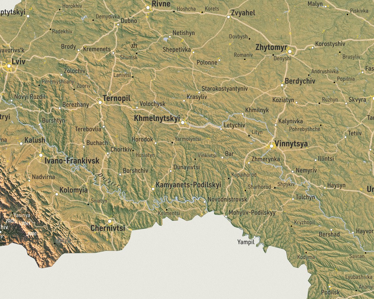
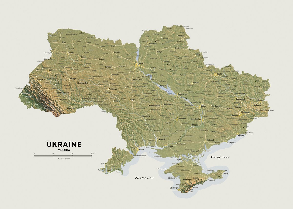
These are today's additions to the shop as printable files at https://t.co/1s6JAAWzp8. When the delivery prices are going up for well known reasons, it's not such a bad idea to get printable files and get them printed locally.
#maps#printable#download
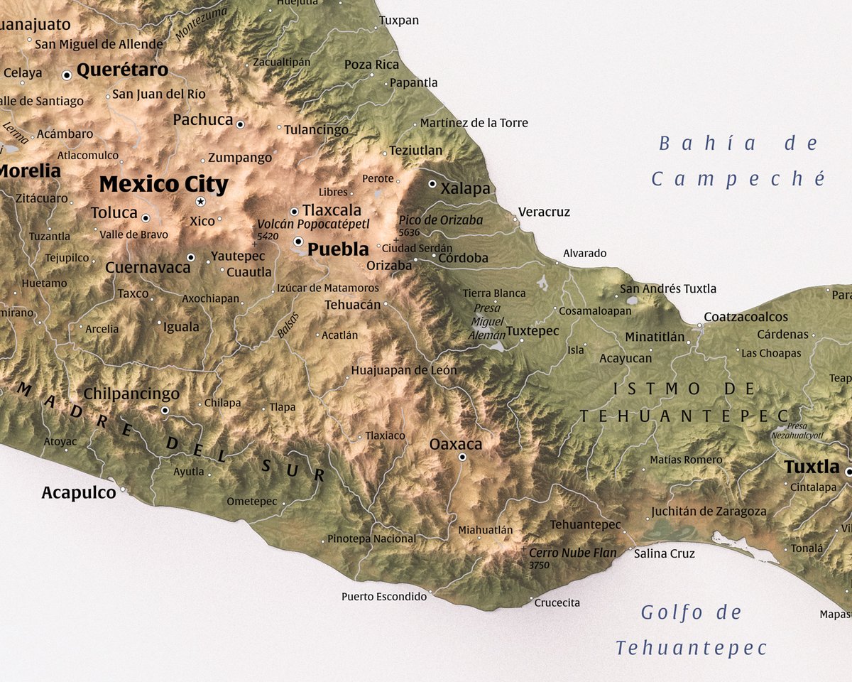
A quick map of Mexico today. There might be some mixed language labels here still, let me know when you see one (other than "Mexico City". But do it like a normal person.
COP90 elevation, modified Sentinel 2 -texture and many other layers.
#Mexico#Maps
Squamish-Lillooet Regional District in BC, Canada. Terrain has vertical exaggeration as always.
The shape is very similar to Brazil, but flipped horizontally.
#BritishColumbia#Maps
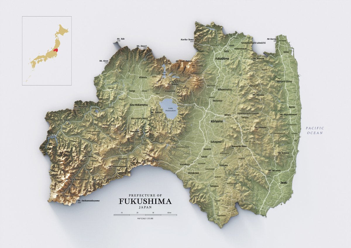
Map of Japan. Terrain turned out great. I decided to go back a few years and added colour in Blender instead of doing all the colouring in Photoshop. Turns out, it's a better method after all. Checking the map couple of times and adding it to store on Tuesday.
#Cartography#Japan
Also found the most fun font (Daruma Drop One) which goes wonderfully with my painted relief style. Would be nice illustration style for children's books.
Fukushima prefecture in Japan. Doing super random places now since I don't really have a series going on now. Waiting for some idea to pop in my head.
#Japan#Geospatial#map
WIP. Have you ever seen South America with south east illumination? I haven't, probably because it doesn't make any sense. It certainly makes the continent to look a little different. The actual map will be traditional NW light.
#Cartography#SouthAmerica
@SurenVynn Cost is a tricky question, there are many variables. But if you pop in my website at https://t.co/1s6JAAWzp8, you can send details and we'll see.