2025 was a big year. Not just in momentum, but in scale.
We collected and refreshed imagery across millions of square miles. Large scale aerial data, done right.
🎥 Watch the 2025 Year in Review video and see what we’re building on in 2026.
👉https://t.co/x23qC10nMe
With urban populations and development increasing, imagery refreshed up to three times annually helps teams track change, uncover issues, and make better planning decisions.
Discover how 👉https://t.co/w3DXc57cDL
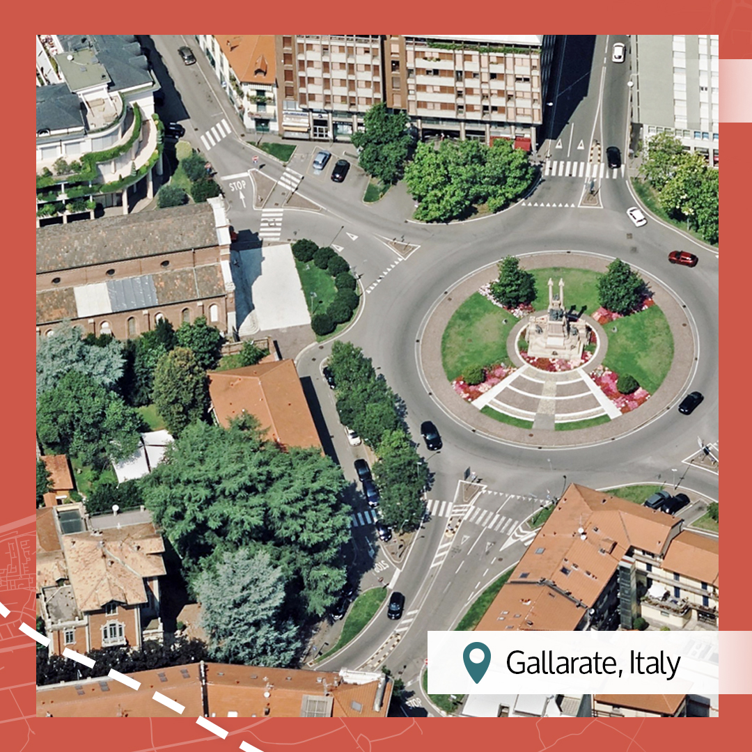
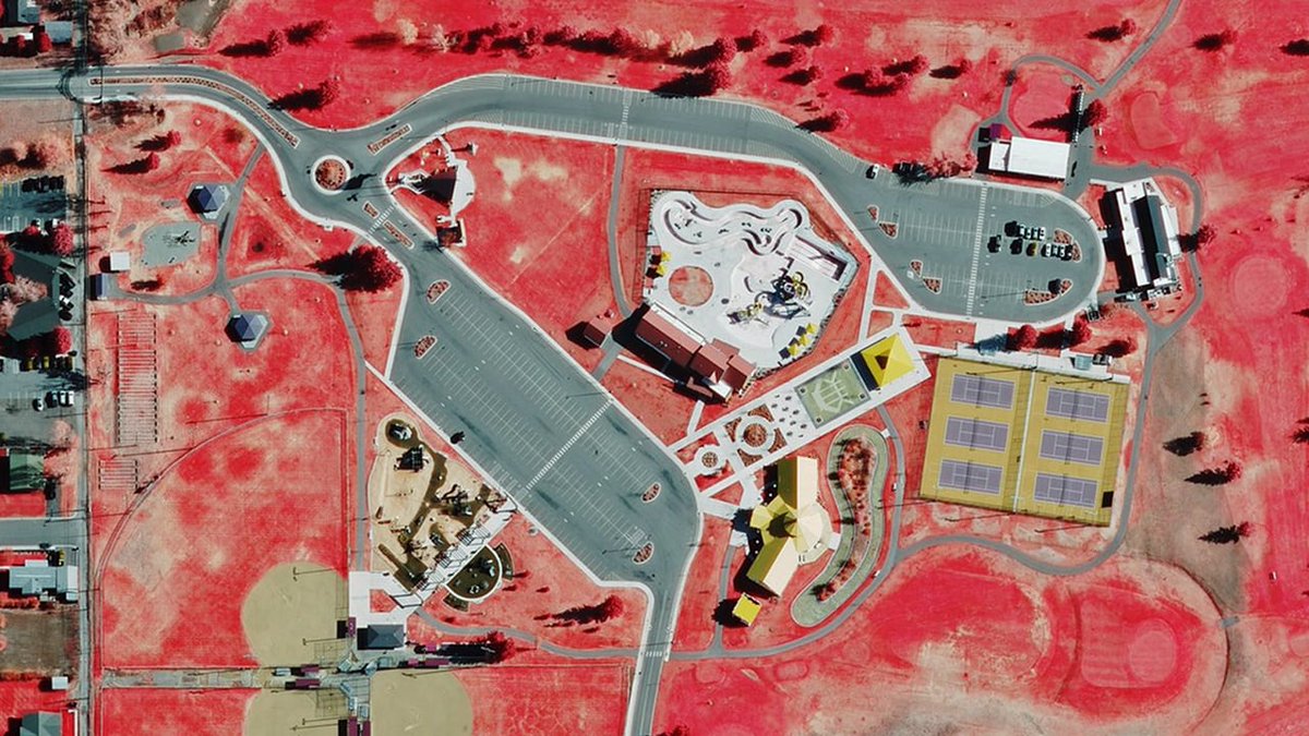
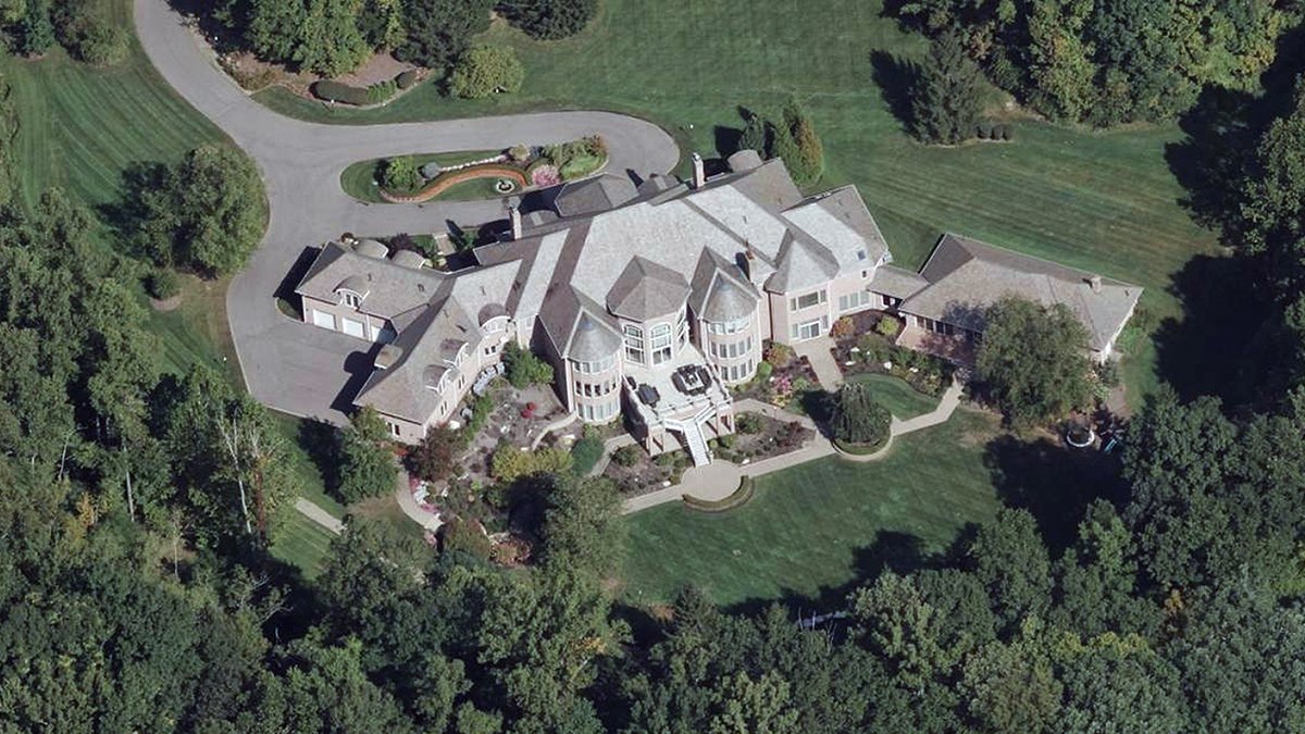
The first Beautiful Earth post of the new year and we're kicking it off with colorful images from a handful of the 45+ countries we collect in. Maybe you'll be inspired to add one to your travel list this year?
👉https://t.co/aeXGJvHwRU
Where's some place warm you'd like to escape to during the winter chill? Immerse yourself in the vibrant city of Miami with a detailed 3D fly-through. Just imagine the sun on your face, warm beach sand, and one minute of escape with our 3D Cities data.
👉https://t.co/RicHQ9o9zx
In property assessment, timing is everything. Timestamped, high-res aerial imagery gives assessors verifiable proof of what existed on a specific date.
Paired with AI-derived attributes, it helps reduce backlogs and showcase clear facts.
👉https://t.co/H5ZgzygVYu
From barrier islands and historic streets, Vexcel’s aerial imagery collection for South Carolina captures the Palmetto State in rich detail. A detailed view, built to help teams see change, manage risk, and plan what comes next.
Check out our coverage 👉https://t.co/TzVluSjsPC
Winter, summer--they all leave their mark on our roads. Learn how seeing those changes clearly leads to safer, more reliable infrastructure. It's why so many DOTs and transportation leaders choose Vexcel data to support their planning efforts.
👉https://t.co/s9QUkvebh0
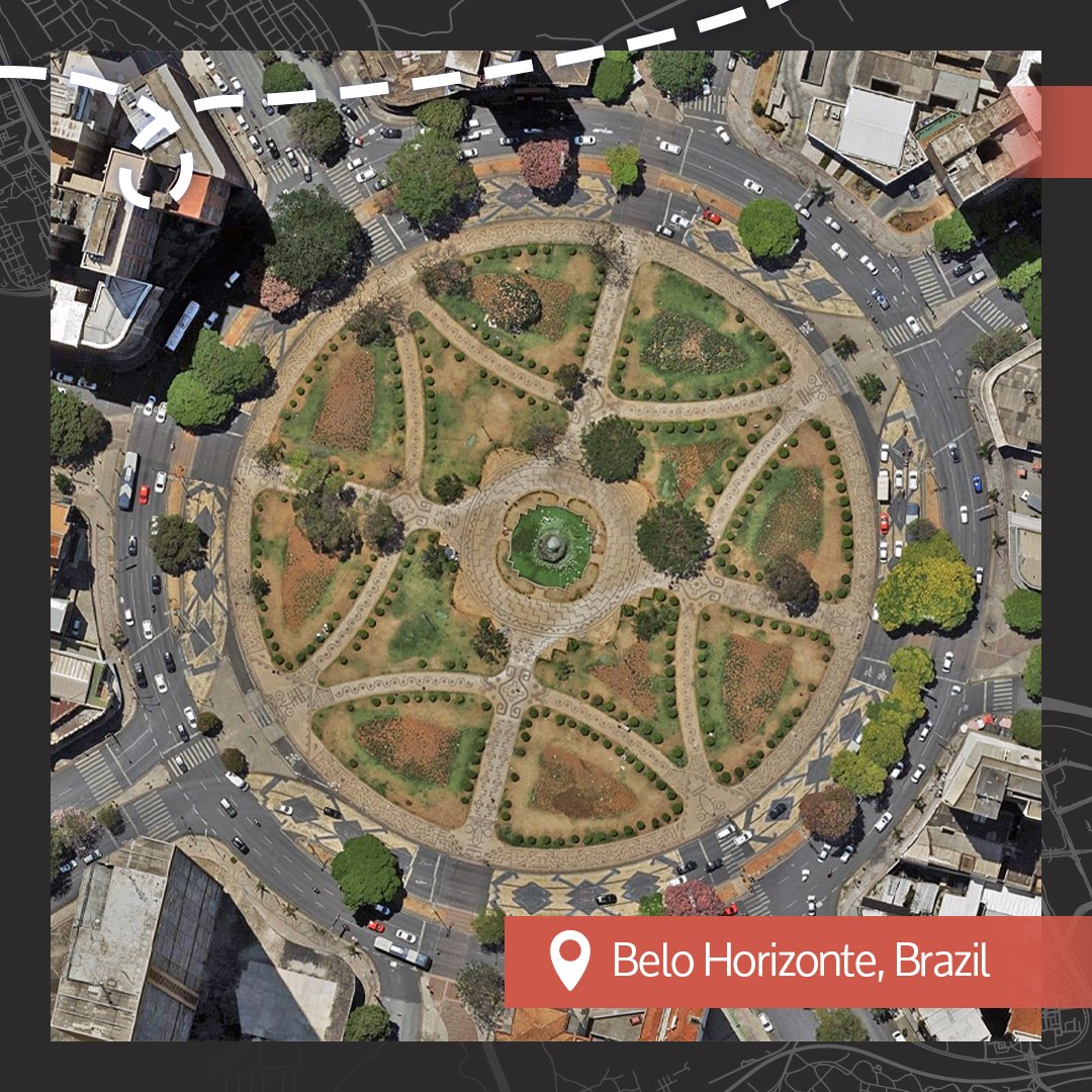
It's another roundup of our Beautiful Earth imagery and we're taking you through multiple areas to delight your senses. Do you know where we collect imagery? You can find out here: https://t.co/xOrOwyzIIc
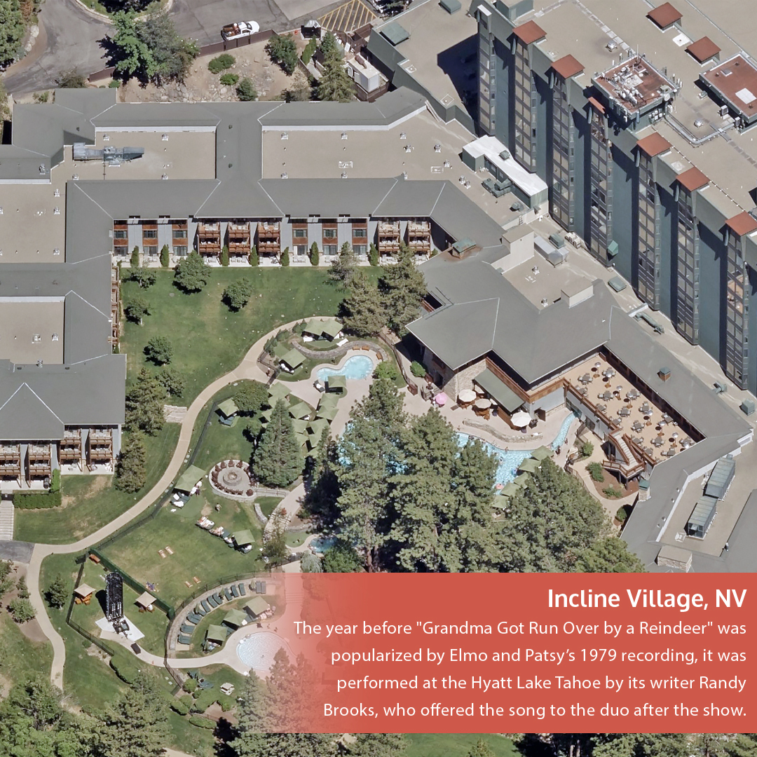
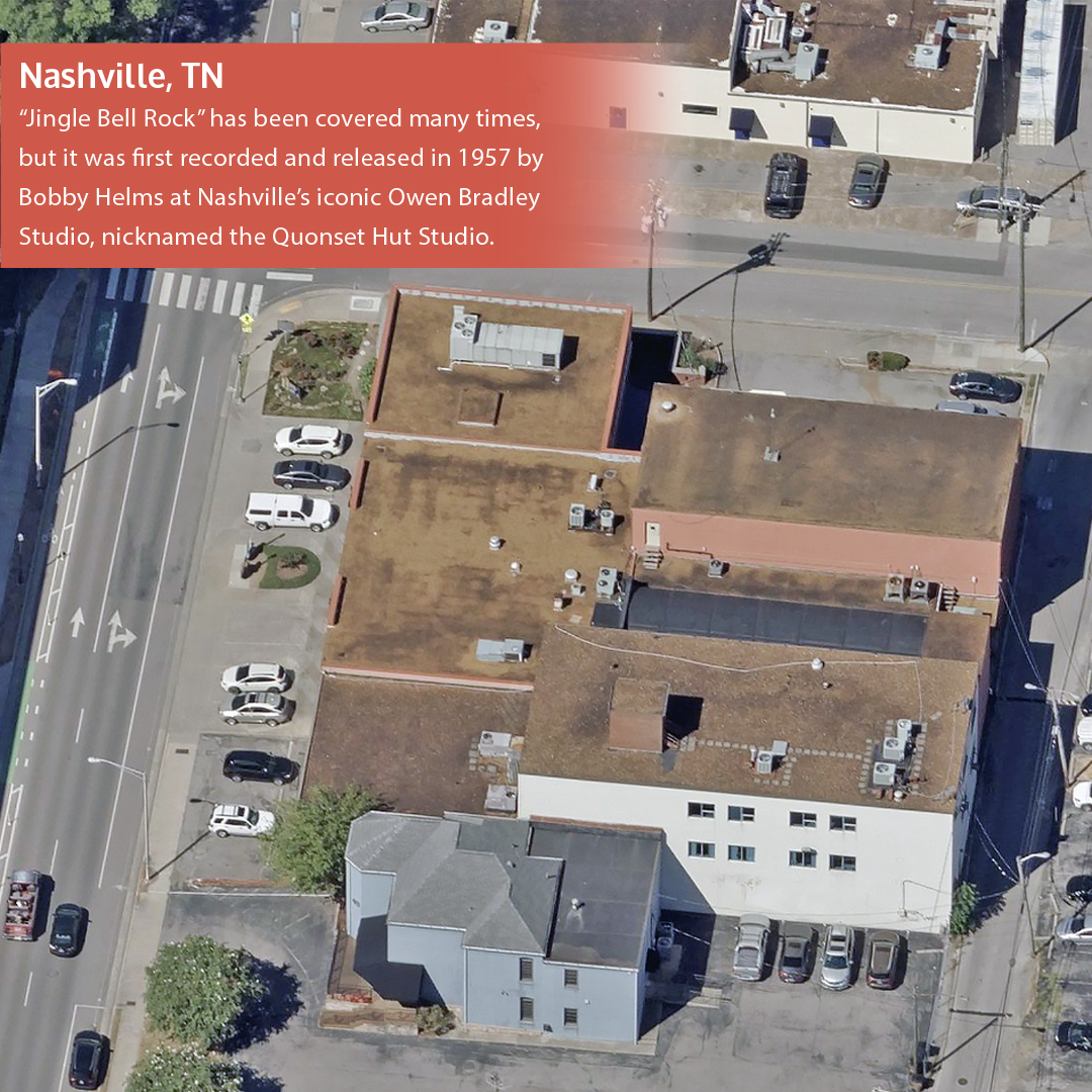
🎶 Holiday song trivia, mapped.
Many of the classic Christmas songs were written in real places that still exist today. And we have the aerial imagery of those exact locations. Test your knowledge below to find out where some of these timeless songs started. ✨
Our most-engaged aerial images of the year, all in one place.
From coastlines to city grids, these Top 10 Beautiful Earth moments made you stop scrolling—and reminded us why seeing the world from above never gets old.
🌎 https://t.co/n6L3dOcM9E
Did you know we collect high-res #aerialimagery for the entire state of Montana? From Billings to Missoula, Great Falls to Bozeman. It's aerial data that government agencies, insurers, and DOTS use to really understand ground truth.
See our coverage 👉https://t.co/Eh42LST3RV
Risk shows up long before defaults do. Aerial imagery helps mortgage banks and portfolio managers identify distressed properties early and protect asset value at scale.
👉https://t.co/sStJwIZnkh
#AccuracyMatters#PropertyInformation
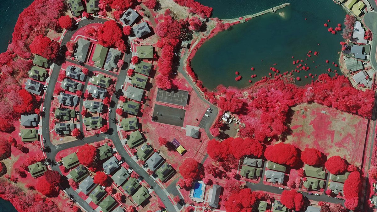
No filter. No edits. Just Earth doing its thing.
This week's Beautiful Earth is proof the planet has better design skills than we do. We just love capturing it from above.
👉https://t.co/hy3lu7GHHX
Great data doesn’t happen by accident.
From sensor design to calibration to how every pixel is measured, UltraCam is engineered differently and that difference shows up in the data.
Learn why below 👇
https://t.co/YfLygo8cFx
Oh why oh do we collect #aerialimagery in Ohio? Because it's part of our commitment to deliver high-res imagery and data in the Lower 48 (urban and rural) plus cities in Hawaii. We deliver imagery in all 88 counties, at 7.5–15 cm detail.
See more 👉https://t.co/O32JDAbNFb
AEC projects run better when everyone sees the same reality.
High-resolution imagery and 3D context help teams plan smarter, spot issues early, and reduce risk.
👉https://t.co/Adb0cuxdwA
A coastline here. A sprawling neighborhood there. A city reflected in high-resolution.
Beautiful Earth is our weekly reminder that the planet is stunning from every angle, especially from above.
See what we captured this week. 🌍✨
👉https://t.co/XtvLWVB8FJ
What’s on the ground can reveal quite a bit about risk on a property.
Driveways, patios, walkways—these hardscapes quietly shape flood exposure, property value, and access risk.
See why ground-level features matter more than most people think👇
https://t.co/jInFnkvhhb
Hawai‘i is breathtaking, but it’s also vulnerable, shaped by weather, water, and time.
Our high-res aerial imagery brings a sweeping, detailed view of urban areas across the islands, helping teams track change, spot risk, and strengthen communities.
👉https://t.co/F19HETSLt7