We develop industrial UAVs for GPS‑denied confined‑space inspection & mapping. Delivering robust all‑environment solutions for industry partners worldwide.
Hard to survey dense forests and measure tree DBH manually?✅ LiDAR 3D point cloud + automatic tree DBH batch extraction𝐃-𝐯𝐨𝐫𝐭𝐞𝐱 𝐈 ✅ SLAM collision-resistant drone✅ Autonomous flight under canopy✅ Works in GNSS denied woodlandMessage us for details!#Drone#Forest#UAV
Works for hydropower galleries, tunnels and silos. Our 𝐃-𝐯𝐨𝐫𝐭𝐞𝐱 Ⅰ SLAM drone captures high-density point clouds for confined-space 3D mapping. Keep inspectors out of hazardous underground environments, for precise 3D inspection.#Drone#GNSS#Mapping
No satellite signal? No problem.
𝐃-𝐯𝐨𝐫𝐭𝐞𝐱 Ⅰ captures underground data, feeds to NeoFlight software for automatic target marking.
Full hardware+software closed-loop for confined space mapping & inspection.#ConfinedSpaceInspection#GNSSDenied#Drone#3dMapping
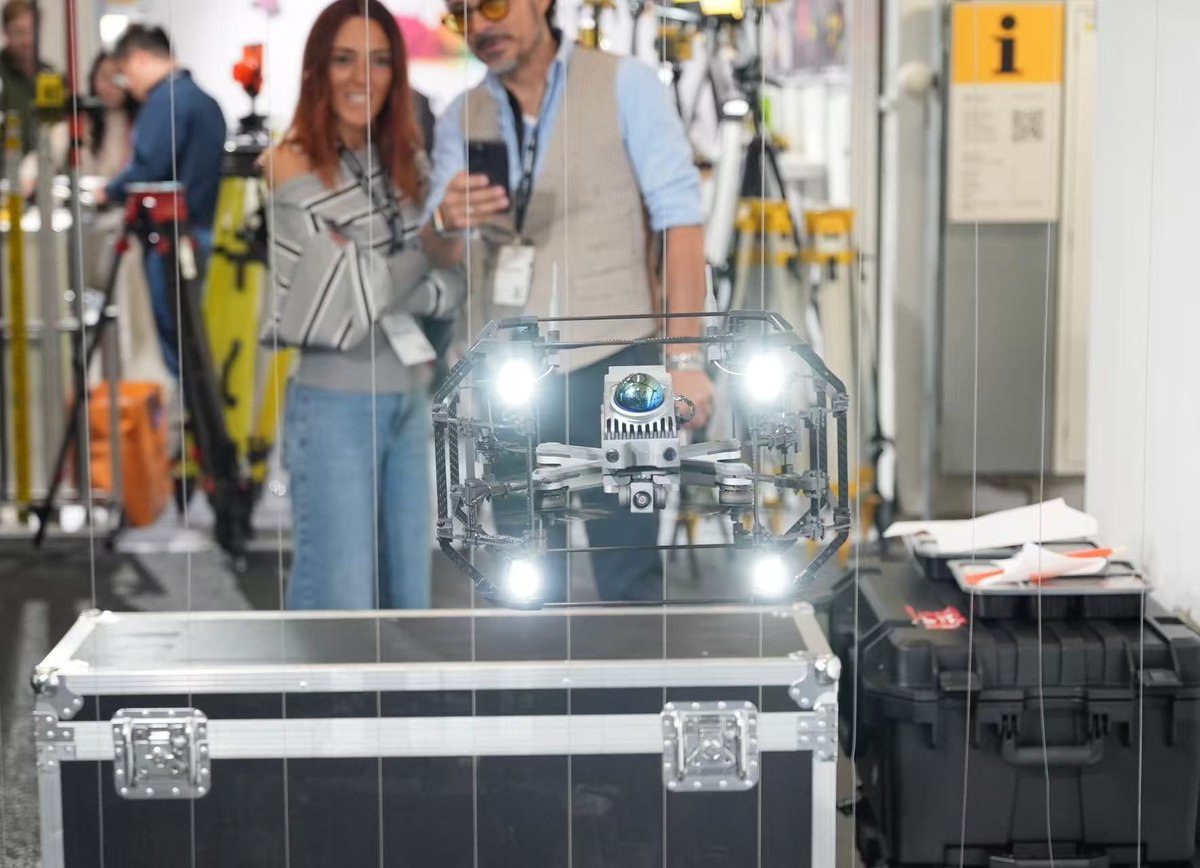
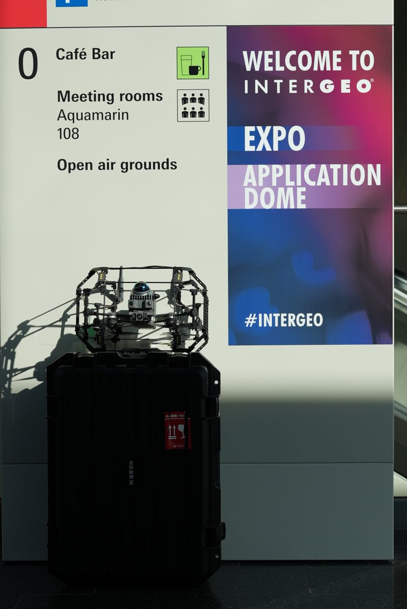
We’re heading to INTERGEO 2026 🚀Full portfolio of confined‑space inspection robots & collision‑safe drone on demo.
📅 15‑17 Sep📍 Messe München | Booth B5 L039 Connect if you will be on site!
#INTERGEO2026#Robotics#Drone
Two weeks to INTERGEO 2026 🌍We’re heading back to Messe München.Discuss no‑GNSS confined‑space inspection for underground & high‑risk sites.Who’s going to Munich? Let’s meet up.
📅 Sep 15‑17 | Messe München
No GNSS = dead drone for most systems.
Send people inside = huge safety risk.
🛡️Safe ∙ Precise ∙ Efficient for high‑risk site inspection.Our D-vortex I keeps flying without satellite positioning.#drone#Inspection#UAV#ConfinedSpace
Humans cannot go there. But inspection still needs to happen ⚠️Our confined‑space UAV D-vortex I gathers high‑precision point‑cloud data, tolerating collisions in brutal conditions.Collapsed‑structure sites: dust, tight obstacles, zero light.#Inspection#UAV#Drone
@IlirAliu_ Really interesting perspective👏👏Converting manual inspection work into actionable data streams is such a powerful shift, whether for vertical farming or underground industrial assets!
Sync point‑cloud 3D model + drone first‑person footage in one post‑processing workspace.⚙️
Cement plant confined‑space inspection: cross‑reference spatial data and real‑time video to speed up inspection analysis.
📲DM for software demo.
#3D#inspection#software #lidar#drone
⛏️ Underground goafs: zero GPS, dark unstable tunnels, high risk for human crews.
Standard drones simply cannot operate here.
Our D-vortex I takes on the hazard remotely.
👉 Have you encountered these underground inspection challenges? Share below.
#UAV #LiDAR#Drone
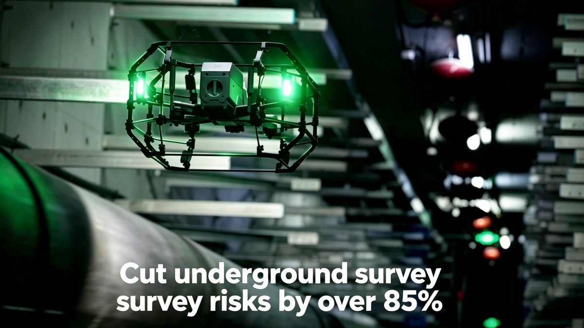
What if you could cut underground survey risks by over 85% — without putting anyone inside?
D‑vortex I makes it happen💥
✅ Zero‑satellite stable flight
✅ On‑site 3D reconstruction
✅ Obstacle avoidance + auto‑return
Built for narrow tunnels. Safer. Smarter.
#drone#ConfinedSpace
@IlirAliu_ Agreed—the prep time for scaffolding and safety crews is massive. We use GNSS-denied LiDAR drones to map those confined spaces beforehand. Cuts the hazard prep significantly. Have you explored this approach?
⚠️No GPS. No light. No second chances.
Just a drone.
And one mission:
𝐊𝐞𝐞𝐩 𝐩𝐞𝐨𝐩𝐥𝐞 𝐨𝐮𝐭 𝐨𝐟 𝐡𝐚𝐫𝐦'𝐬 𝐰𝐚𝐲.
We are 𝐯𝐢𝐭𝐞𝐫𝐫𝐚-𝐫𝐨𝐛𝐨𝐭𝐢𝐜𝐬.
This is 𝐃-𝐯𝐨𝐫𝐭𝐞𝐱 𝐈.
⏳ First look. This week.
#LiDAR#Mining#UndergroundInspection#Drone