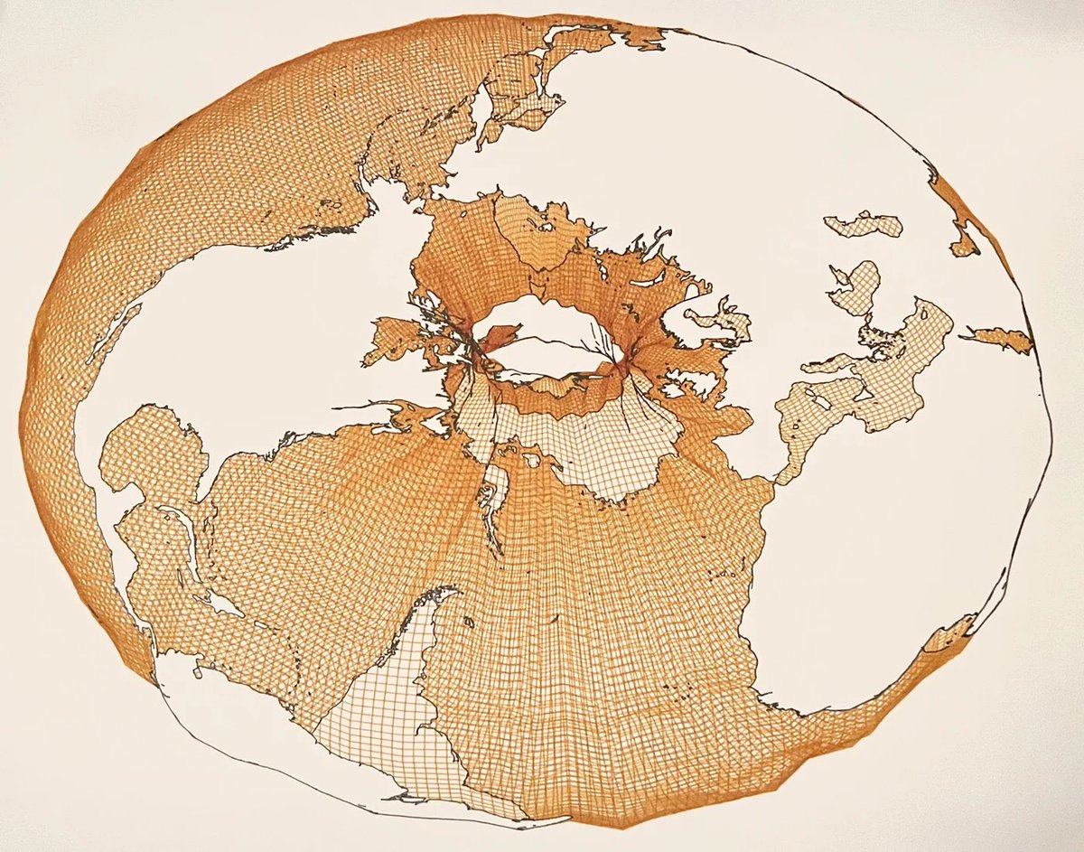
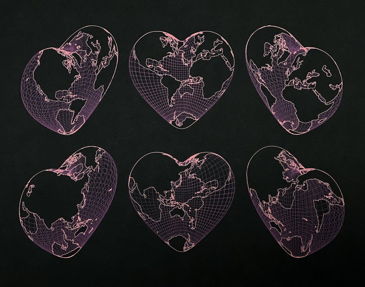
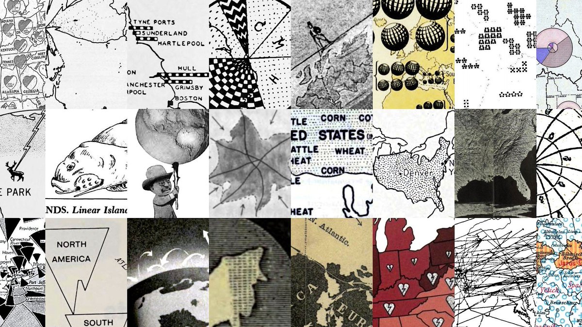
Not on here much nowadays but I'm still offering limited run pen-plotted maps on https://t.co/INbFHbc8jF. Here are some recents, including a fresh batch of Earth Bagels for National Bagel Day.
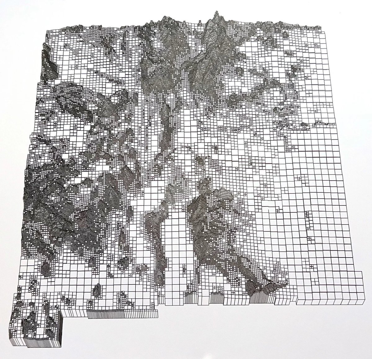
New Mexico terrain as a hierarchical grid.
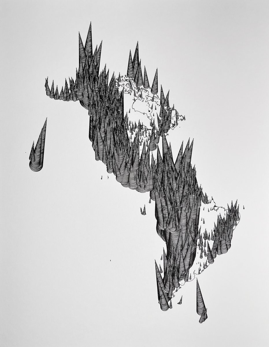
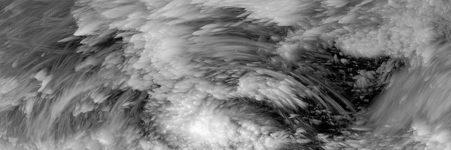
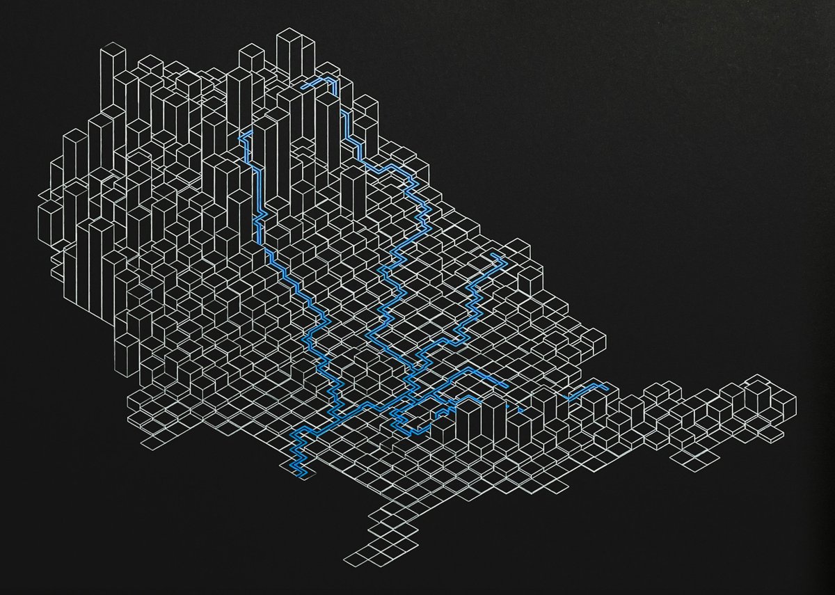
Road network of the U.S. as threads being hoisted up.
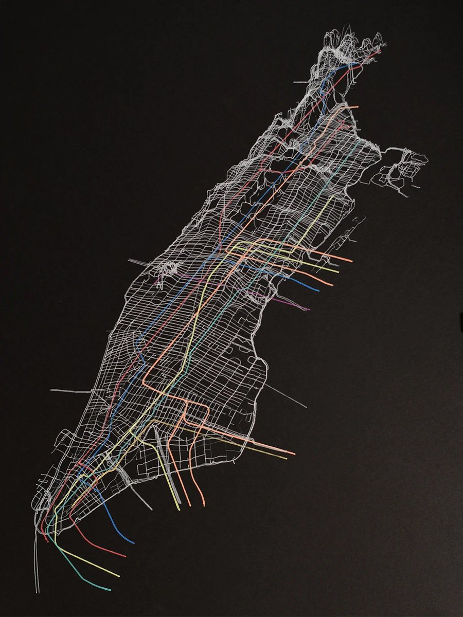
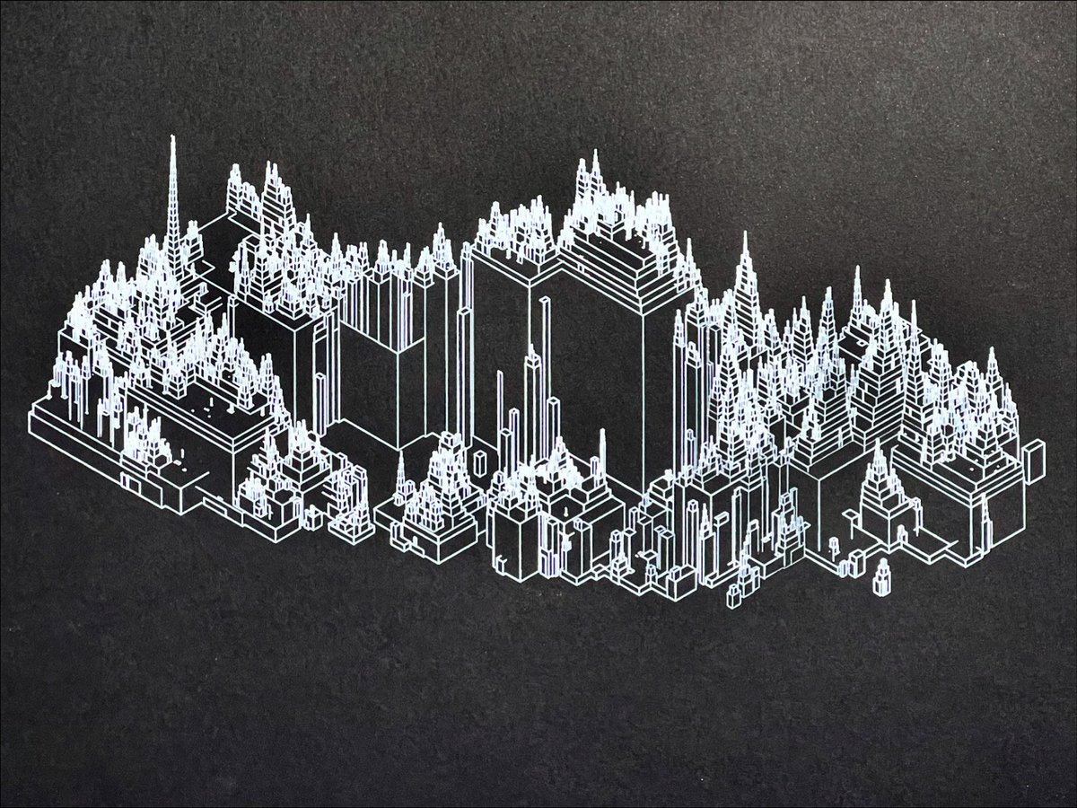
Perspective view of Manhattan roads and subway lines.
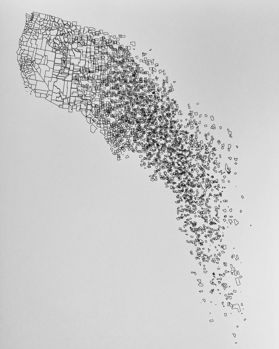
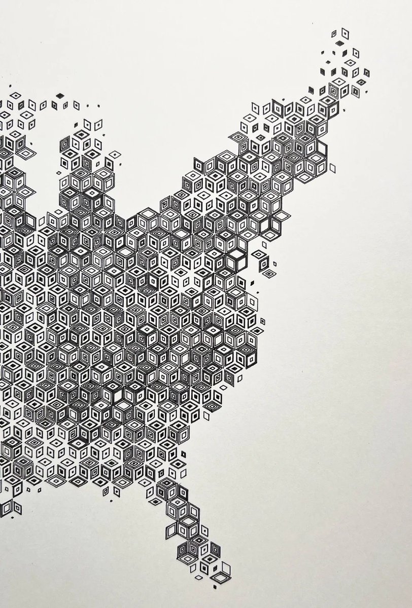
Rhombille population density map of the conterminous U.S.
And others https://t.co/bzdJlFOUuo
No matter how you map it, tomorrow is the big day for the Peaks to Portland Swim For Kids! A huge thank you to everyone who has already donated. If you haven't had a chance yet, please consider supporting the Y and their amazing kids' programs here: https://t.co/l50sRpCwNQ
@Marcela_Rondon Scripted bits using python, manual bits using Illustrator and Inkscape, production bits using Sakura Gelly Roll Pens, Fabriano Black Black and a pen plotter.
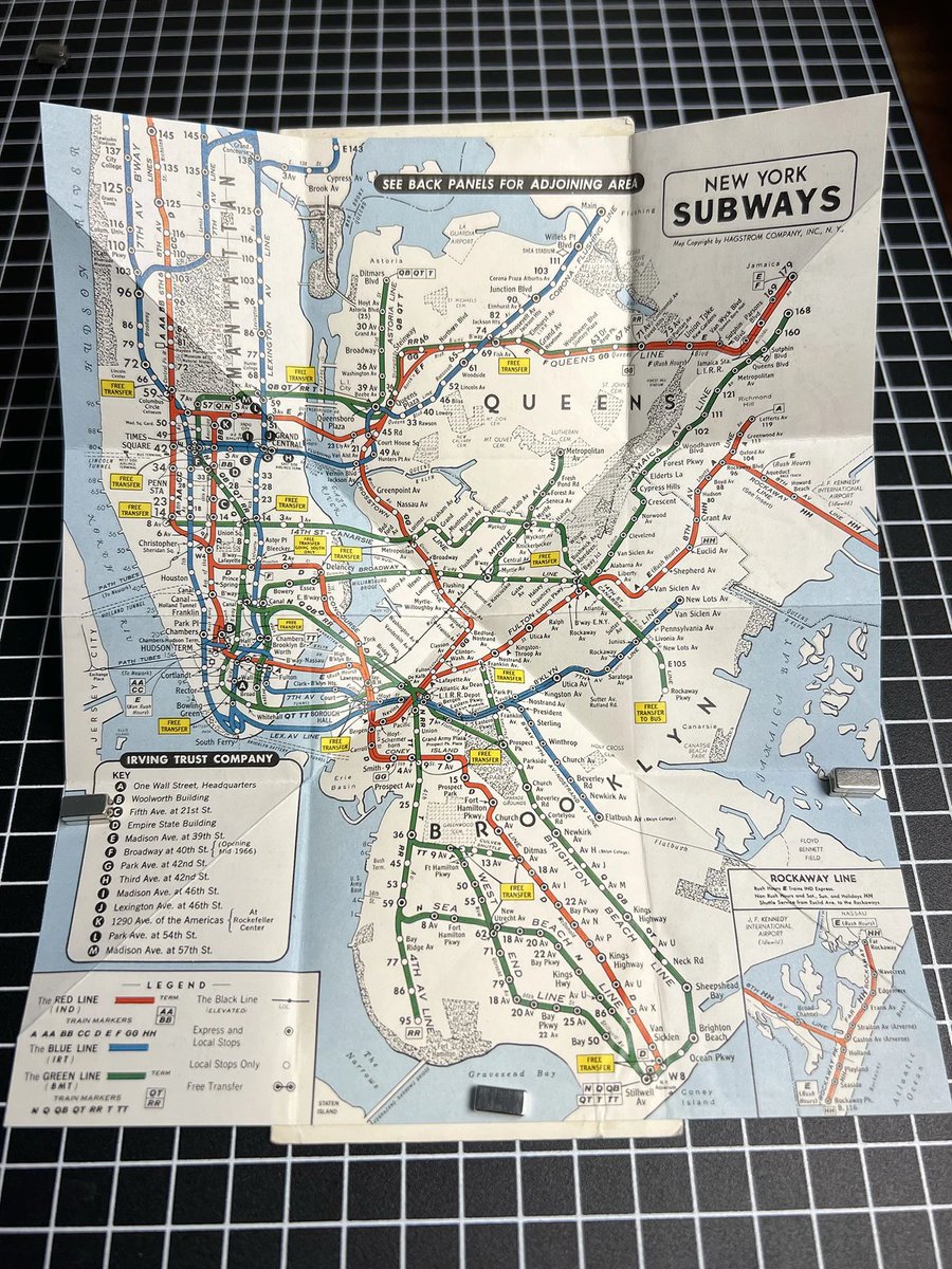
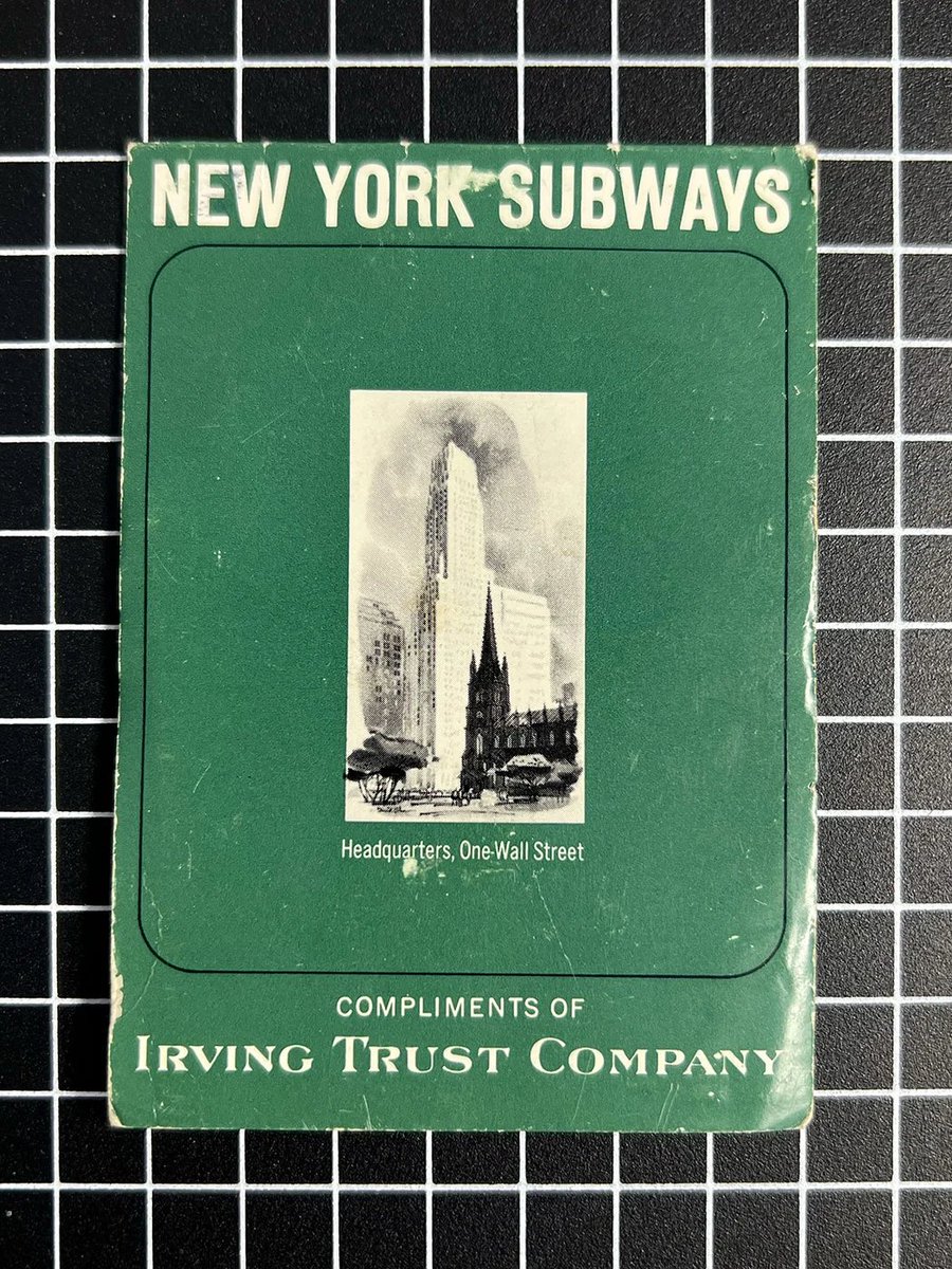
I'll be adding some fun vintage maps to the shop in the coming weeks too. The first is this little mid-century NY subway pocket map with a Turkish map fold. https://t.co/2PKds75Uob
Added this to the shop.
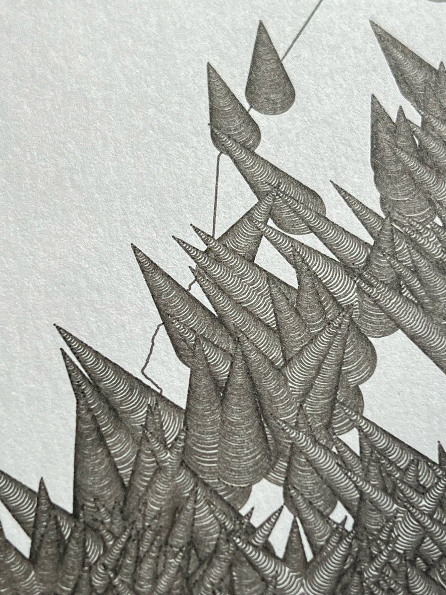
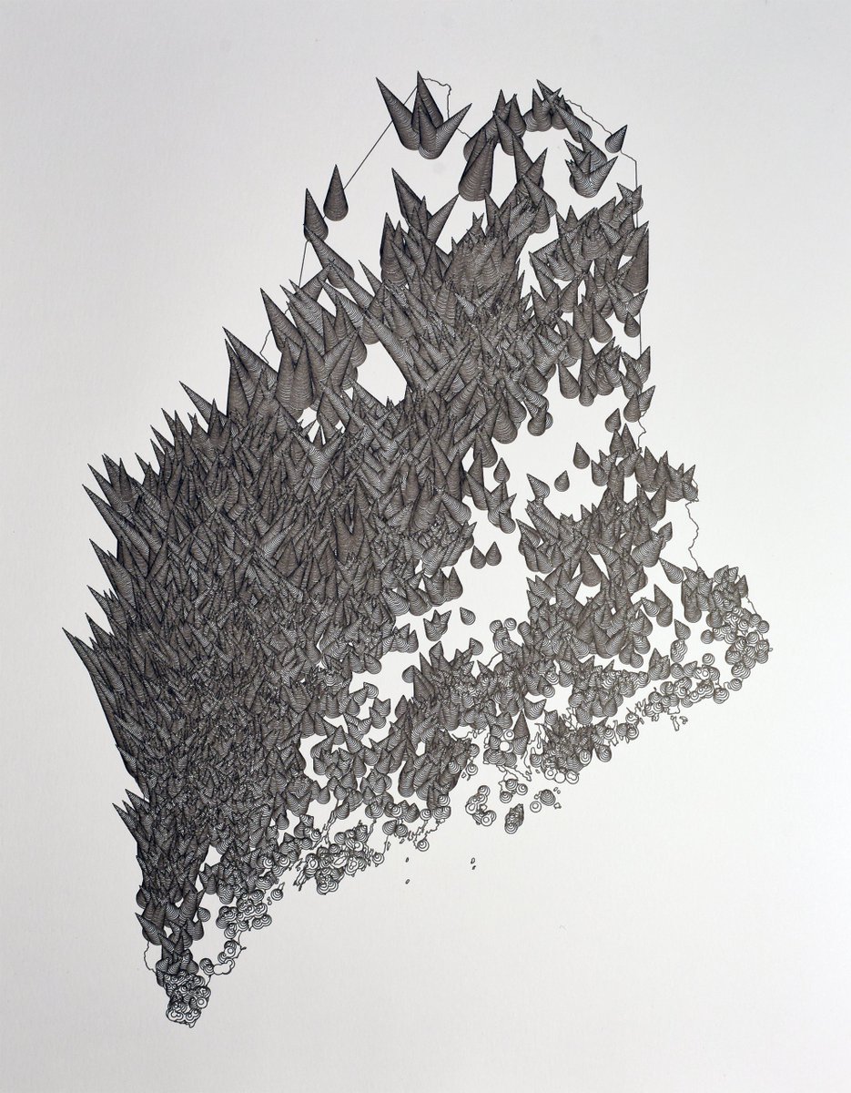
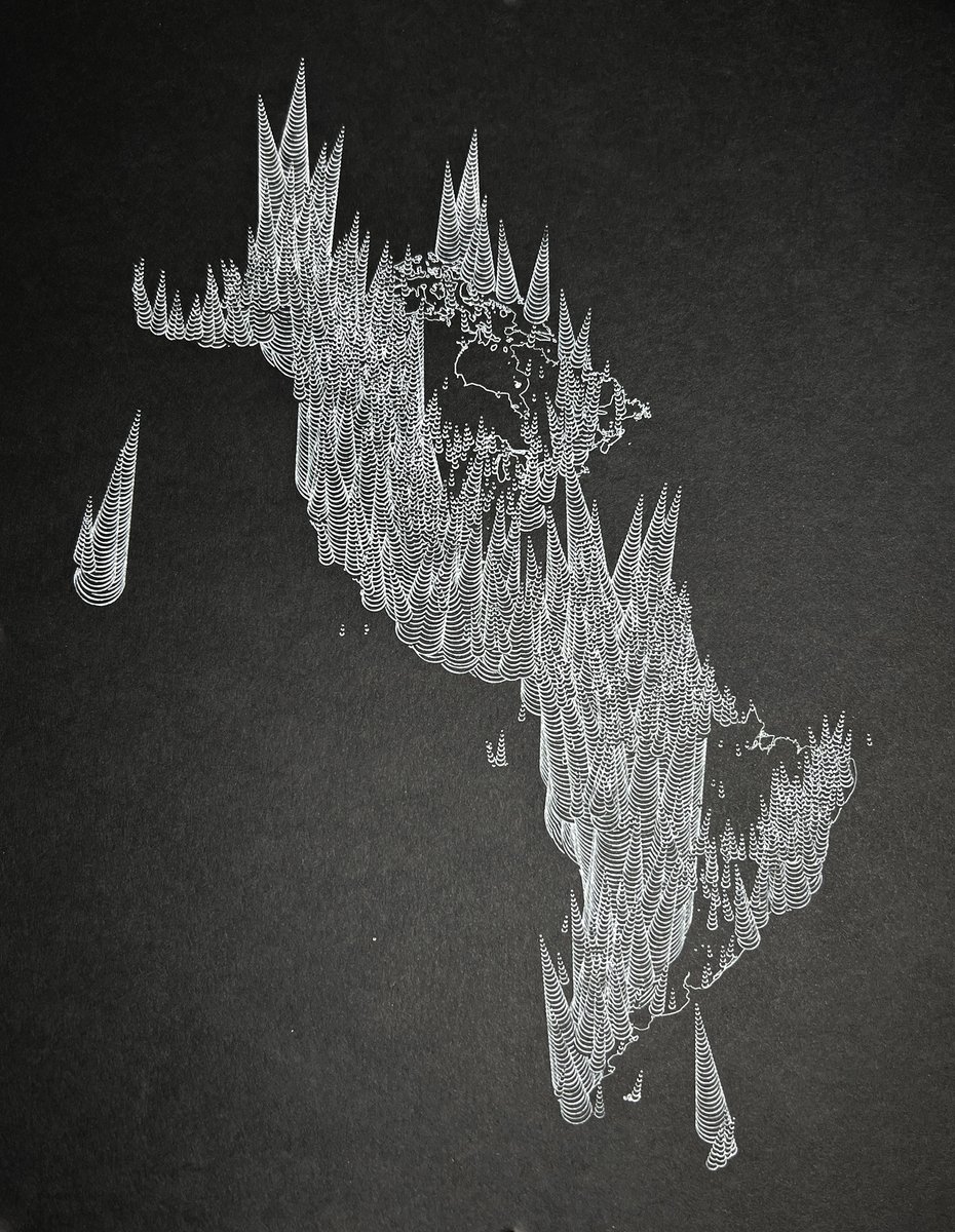
In this plot, 878 of Maine's most prominent peaks are styled as wildly unbalanced prismatic bugles.
I currently only plan on making one of these. The plot takes about 12 hours to complete.
https://t.co/f15TpZjOrB
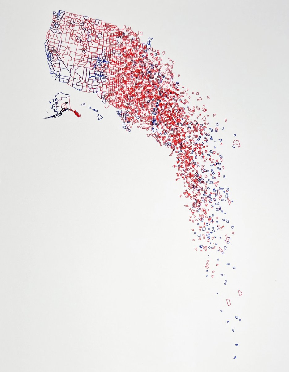
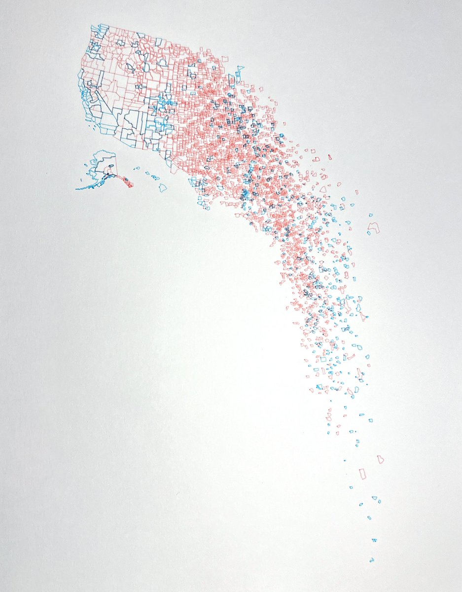
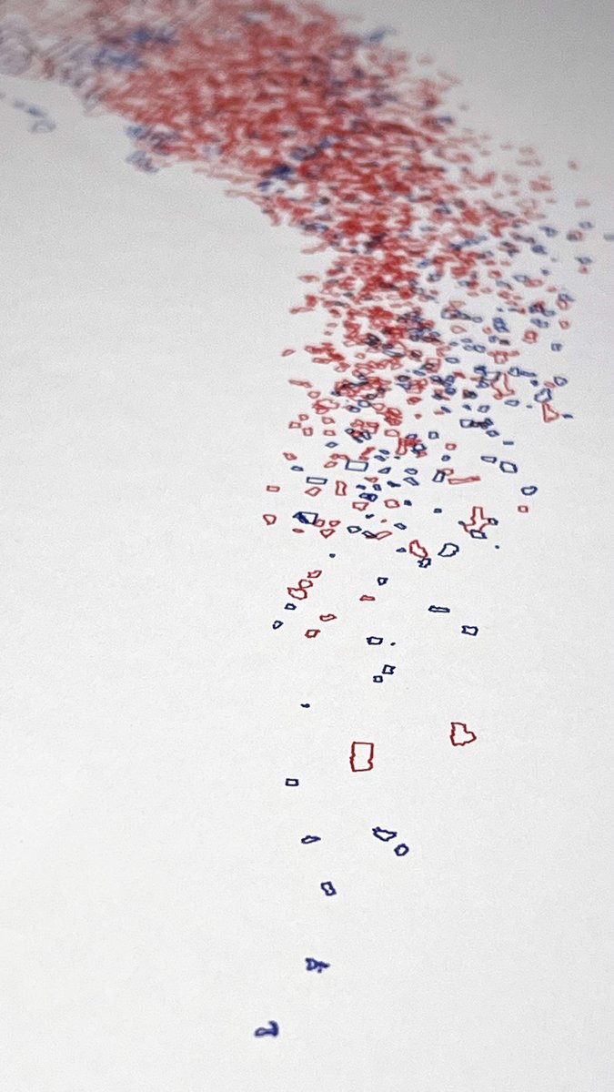
Two left of the original, but I've also made two electoral versions—one bright, one bold. Color means they aren't quite as crisp as the original, but they're potentially more fun? https://t.co/7zmXYdnfns
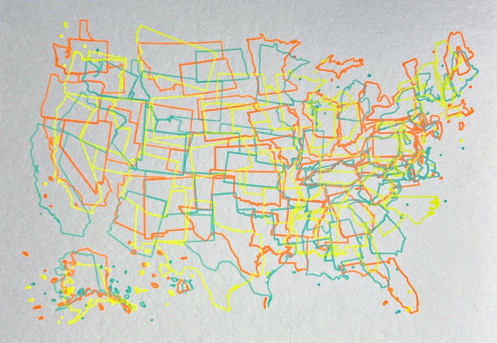
The one below has been claimed, but I've just posted another with a clear draw order if that appeals. I like them both equally. https://t.co/U2t0T2F9Jg
Shutting down the shop for a few weeks to enjoy the end of summer, but will be posting some fun new things starting in September at https://t.co/INbFHbc8jF.